バイエルンの森の絶景の山頂・トップ20
絶景を目指して登るのであれ、達成感のために登るのであれ、山頂を訪れることで、バイエルンの森の美しい自然をもっと満喫することができます。20
もの選択肢の中から、制覇する山頂を決めるのは簡単ではありません。スムーズに次の冒険で目指す山頂を選べるように、バイエルンの森の素晴らしい山頂をこのガイドにまとめました。
最終更新日: 10月 23, 2026
グローサー・アルバー山頂
ハイライト • 山頂
翻訳者 Google •
役立つ情報 は

ルーゼン山頂
ハイライト • 山頂
翻訳者 Google •
役立つ情報 は

今すぐサインアップして、こんな場所を発見しよう
最高のシングルトラック、ピーク、その他のエキサイティングなアウトドアスポットのおすすめを受け取ろう。
グレート・オッサー
ハイライト • 山頂
翻訳者 Google •
役立つ情報 は
グローサー・アルベルゼー
ハイライト • 湖
翻訳者 Google •
役立つ情報 は

プロラー山頂の十字架
ハイライト • 山頂
翻訳者 Google •
役立つ情報 は

無料でサインアップして、さらに多くの山を発見しましょう バイエルンの森での。
すでにアカウントをお持ちですか?
無料アカウントで今日から始めよう
次の冒険が待っています。
バイエルンの森周辺で人気

ドイツを周りをトライアスロン
バワリア・ボヘミア長距離サイクリングコースで国境を越えて
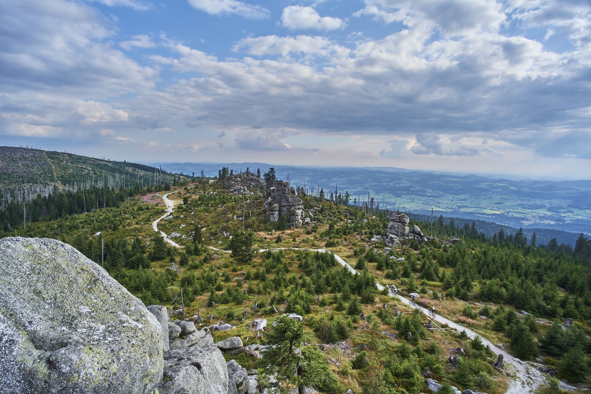
Trans Bayerwald – A mountain bike adventure through Bavaria's finest nature

チェコ共和国とオーストリアの間をハイキング – ノルドワルドカムムトレイル
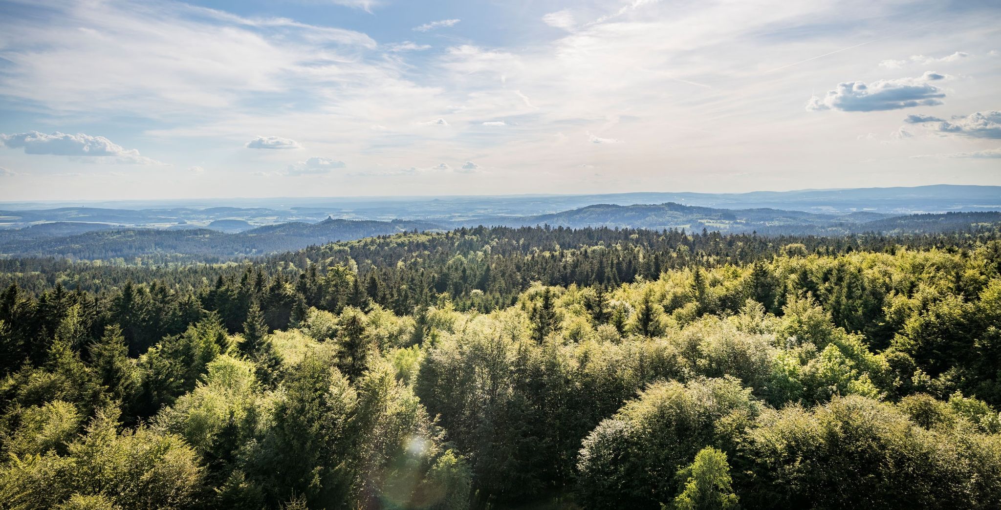
ハイキング ドイツとチェコの国境沿い – Nurtschweg
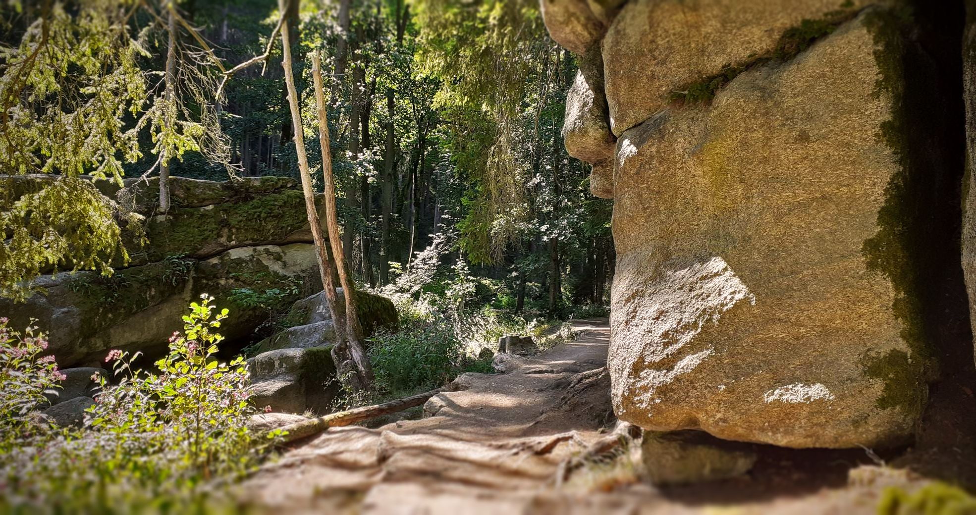
アッパーパラティネート森のバイクパッキング

ゴールドシュタイグ - オーバーパラティナートとパッサウの間の38ステージ
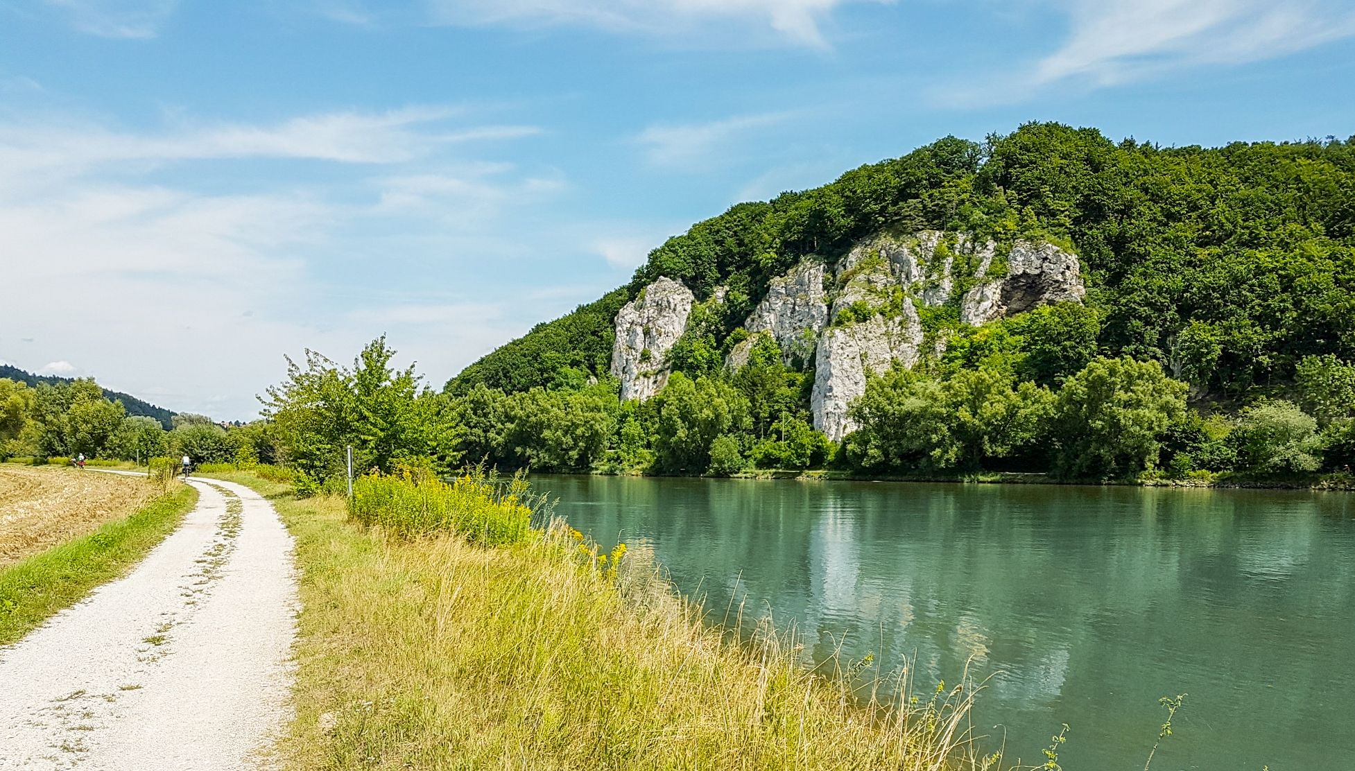
ドナウ・パノラマウェグ - 10日間の自然景観と文化的洞察

Goldsteig — The best routes for long distance hiking in Eastern Bavaria
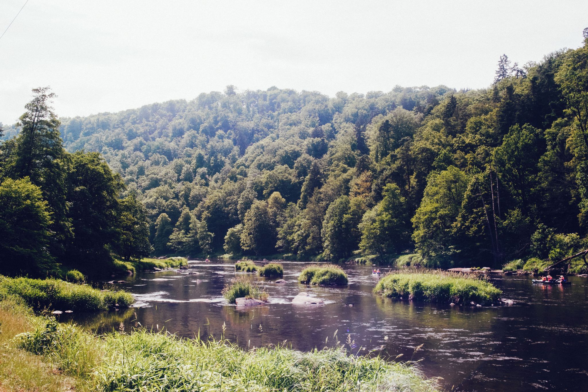
ザ・レインバレーサイクルパス — バイエルンの森を4日間
バイエルンの森でのの他の冒険


コミュニティからのヒント

The beautifully decorated summit cross can be reached after a short climb 🤗. If the weather is good, you have a beautiful view ☺️.
20
2

Here at the Arbersee it is simply wonderfully beautiful, whether in summer or in winter. Always worth a visit 👌 From here there are numerous great opportunities for hiking and biking 👍
32
0
A visit to Gr. Arbersee is always something beautiful. Here you can just relax or go hiking and biking 😉
31
0

The Großer Arber with its height of 1456 meters offers a unique panoramic all-round view of 360*🤩
21
0

A wonderful hike with many beautiful impressions!
16
1

A 1373 m high vantage point in the Bavarian Forest. When the weather is good, there are views of the surrounding area and as far as the Alps
30
0
The two radar towers have been the landmark of the Grosser Arber for over 30 years. The radar towers on the Grosser Arber have long since become a real landmark of the highest mountain in the Bavarian Forest. In the summer, the highest construction site in the Bavarian Forest is to be set up there: the dome on the main tower is to be renovated. The Federal Ministry of Defense is investing around 2.2 million euros in this "construction project for national defense" so that in the future the airspace within a 450-kilometer radius from Berlin to Venice can be monitored from the Arber.
28
0

komootモバイルアプリでインスピレーションを得よう


さらに探索
これらのガイドでさらに素晴らしい頂上を見てみましょうバイエルンの森での:
