ドルナッハのおすすめMTBライド
4.4
(201)
968
ライダー
29
ライド
ドルナッハ周辺には魅力的なマウンテンバイクルートがいくつもありますが、冒険を始めるにはその場所とルートを把握する必要があります。ここでは、komootが提供するドルナッハ周辺でのマウンテンバイクルートのコレクション全体を評価して選び抜いた、人気ルートをご紹介します。各ライドの詳細をぜひご覧ください。
最終更新日: 10月 21, 2026
4.7
(118)
479
ライダー
26.1km
02:16
570m
570m
難しいマウンテンバイクライド. ある程度のフィットネスレベルが必要です。 高度なライディングスキルが必要です。ツアーの一部で自転車を押して歩く必要があるかもしれません。
4.6
(16)
67
ライダー
29.1km
02:27
650m
650m
中程度のマウンテンバイクライド. ある程度のフィットネスレベルが必要です。

4.8
(10)
88
ライダー
20.0km
02:00
590m
590m
難しいマウンテンバイクライド. ある程度のフィットネスレベルが必要です。 高度なライディングスキルが必要です。ツアーの一部で自転車を押して歩く必要があるかもしれません。
4.4
(11)
72
ライダー
23.8km
02:01
510m
510m
中程度のマウンテンバイクライド. ある程度のフィットネスレベルが必要です。
4.4
(7)
41
ライダー
22.9km
01:54
510m
510m
中程度のマウンテンバイクライド. ある程度のフィットネスレベルが必要です。 高度なライディングスキルが必要です。
さらに多くのルートや他のユーザーのおすすめ情報を確認できます。
すでにアカウントをお持ちですか?
おすすめのツアーは他のkomootユーザーが実際に経験した何千ものアクティビティに基づいています。
無料アカウントで今日から始めよう
次の冒険が待っています。

ドルナッハでのの他の冒険

コミュニティからのヒント


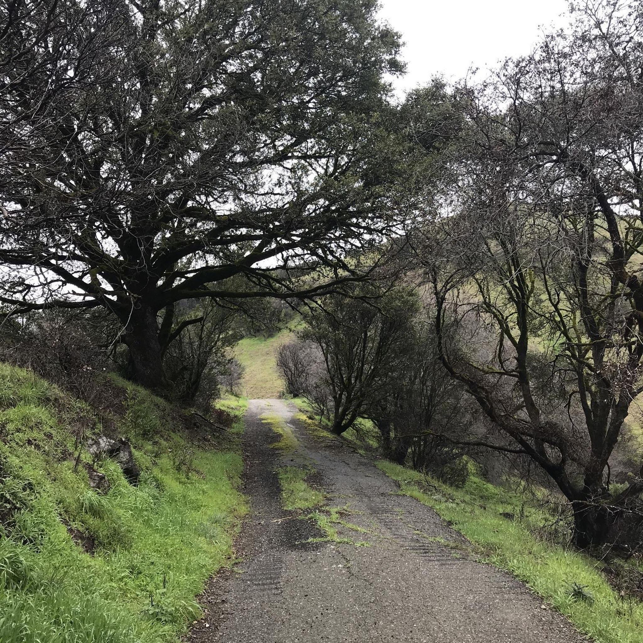
ブラッテンパッセへの道は誰にでも完璧で、森の中をきれいに通っています。道は石ころがなく十分な幅があるので、徒歩でも自転車でも簡単に進むことができます。
0
0

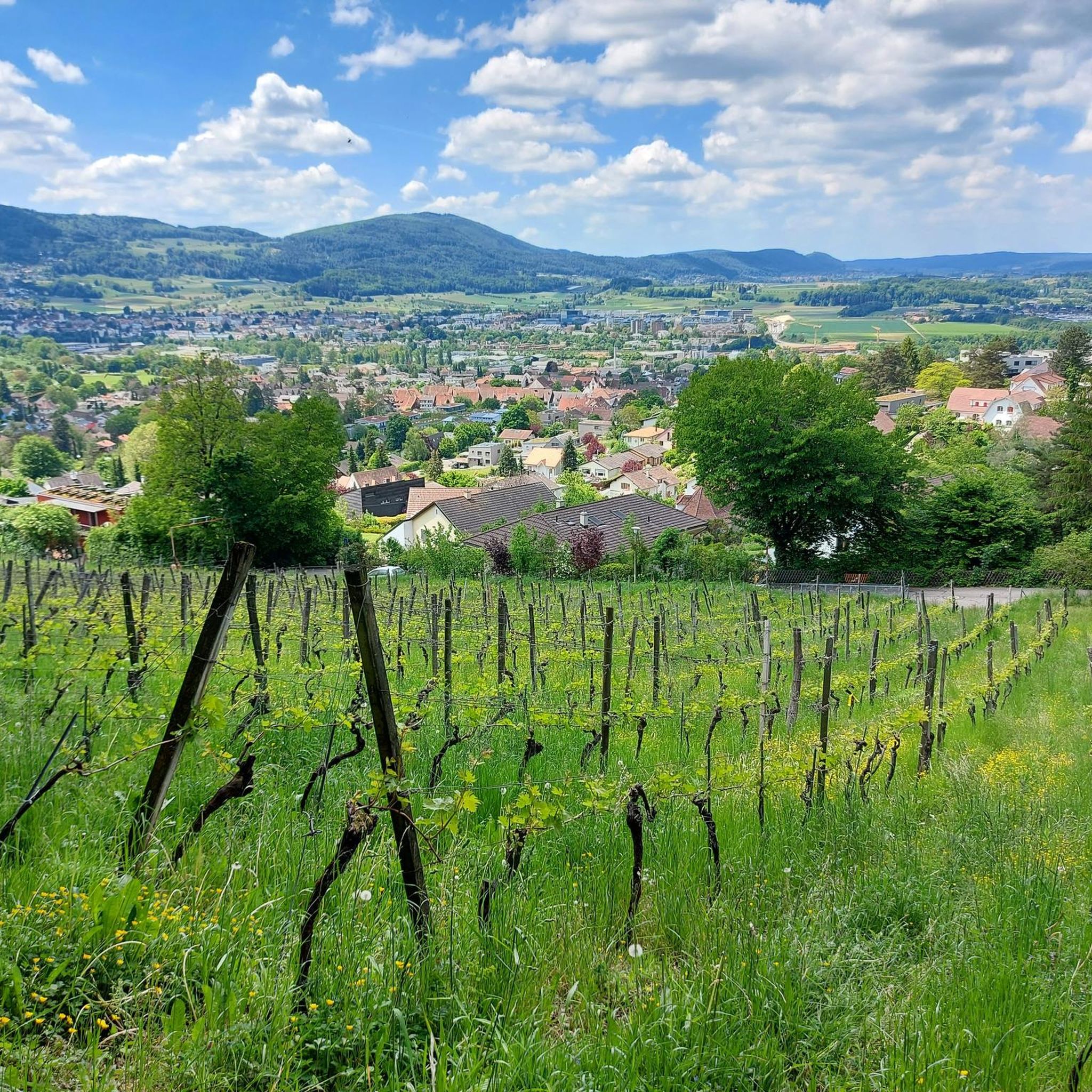
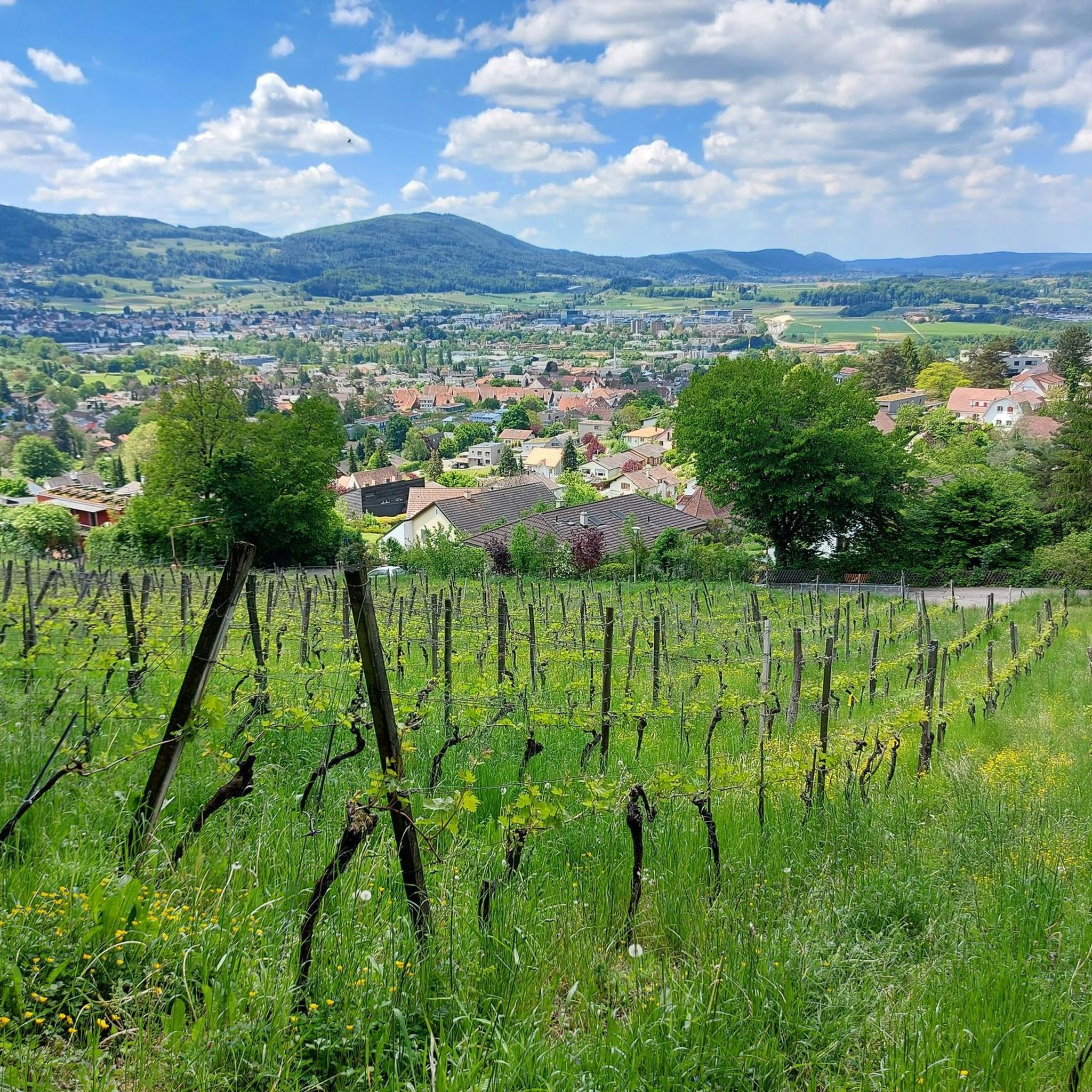
The Aescher Klus is the largest contiguous wine-growing region in the canton of Basel-Landschaft. A wide variety of grape varieties thrive here on over 20 hectares. Numerous paths crisscross the vineyards, and it seems like every section of the vines has its own vineyard cottage. An interesting fact: In 1966, excavations at a depth of four meters uncovered the remains of grapevines that could be dated to the 3rd to 4th centuries AD.
0
0

The Glögglifels is a striking rock formation above Laufen (BL) in the Jura Mountains. It lies on the hiking trail towards the Blauenpass and offers a beautiful view into the Birs Valley. The name likely derives from its bell-like shape or a former bell-ringing site.
5
0
The Glögglifels is a striking rock formation above Zwingen in the Laufental valley. It offers a beautiful view over the Birstal valley and is a popular viewpoint for short hikes. Legends and the name itself lend the place a mystical character.
7
0


Here, you pass through the largest contiguous wine-growing region in the canton of Basel-Landschaft. Grapes were cultivated here as early as Roman times (Augusta Raurica). Those interested can learn a great deal about vines and winemaking along the wine hiking trail here in the Chlustal Valley. There are several wineries and winery restaurants in the valley; please check their opening hours online.
0
0
Rather unexpectedly, you'll come across this Baselbieter gem, the Aescher Klus, the largest contiguous wine-growing region in the canton of Basel-Landschaft. Here, you'll also find a wine hiking trail with information panels and winery restaurants for refreshments (check online for opening hours in advance).
0
0

komootモバイルアプリでインスピレーションを得よう


さらに探索
他の地域の最高のMTBトレイルを見てみましょう。
