ナウワルドのおすすめツーリングルート
4.5
(3456)
17,905
ライダー
639
ライド
ナウワルド周辺には魅力的なサイクリングルートがいくつもあります。この森の魅力をすぐに体験していただけるように、komootおすすめのルートをまとめました。
最終更新日: 10月 1, 2026
4.5
(295)
1,587
ライダー
44.1km
02:42
120m
120m
中程度の自転車ライド. ある程度のフィットネスレベルが必要です。 全般的に舗装された状態です。あらゆるスキルレベルに適しています。
4.6
(22)
81
ライダー
48.6km
03:03
230m
230m
中程度の自転車ライド. ある程度のフィットネスレベルが必要です。 全般的に舗装された状態です。あらゆるスキルレベルに適しています。

4.6
(32)
126
ライダー
19.2km
01:16
30m
30m
初級者向けバイクライド. あらゆるフィットネスレベルに適しています。 全般的に舗装された状態です。あらゆるスキルレベルに適しています。
4.8
(11)
43
ライダー
38.1km
02:31
190m
190m
中程度の自転車ライド. ある程度のフィットネスレベルが必要です。 全般的に舗装された状態です。あらゆるスキルレベルに適しています。
4.7
(15)
57
ライダー
43.3km
02:35
70m
70m
中程度の自転車ライド. ある程度のフィットネスレベルが必要です。 全般的に舗装された状態です。あらゆるスキルレベルに適しています。
さらに多くのルートや他のユーザーのおすすめ情報を確認できます。
すでにアカウントをお持ちですか?
おすすめのツアーは他のkomootユーザーが実際に経験した何千ものアクティビティに基づいています。
無料アカウントで今日から始めよう
次の冒険が待っています。
コミュニティからのヒント


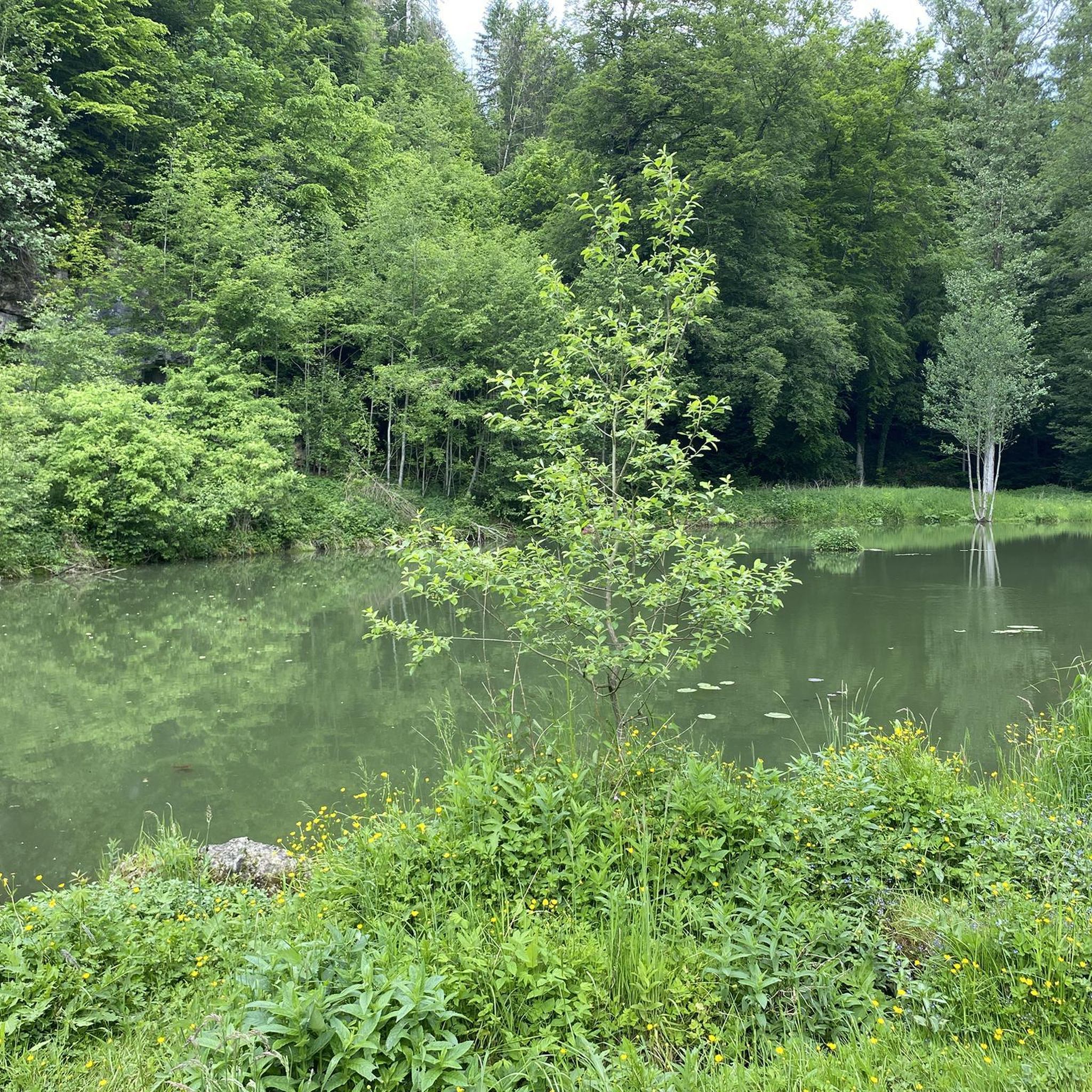
IG Kaltenburg Kaltenburg e. V. (Interessengemeinschaft Kaltenburg) は、2014年に設立された受賞歴のある協会で、Hürben近くのLonetalにある中世の城跡Kaltenburgの救済、修復、維持に専念しています。 イベント:2026年9月13日、特別なパフォーマンスを伴う遺産の日。
0
0
見る価値のある城跡で、南塔には武器や鎧の展示、騎士の間、絵画ギャラリーがあります。 詳細については、www.ig-kaltenburg.de または Instagram および Facebook をご覧ください。
0
0


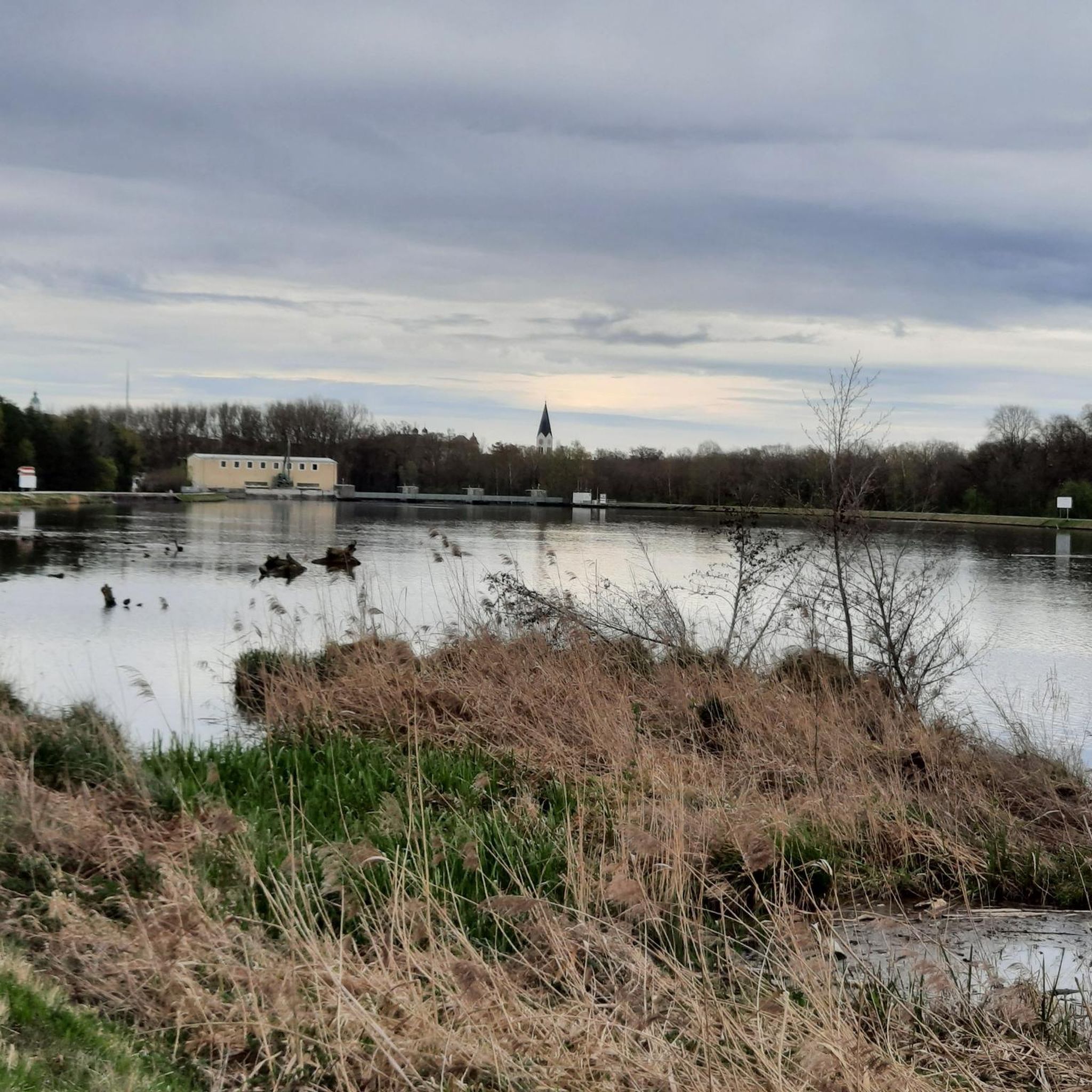
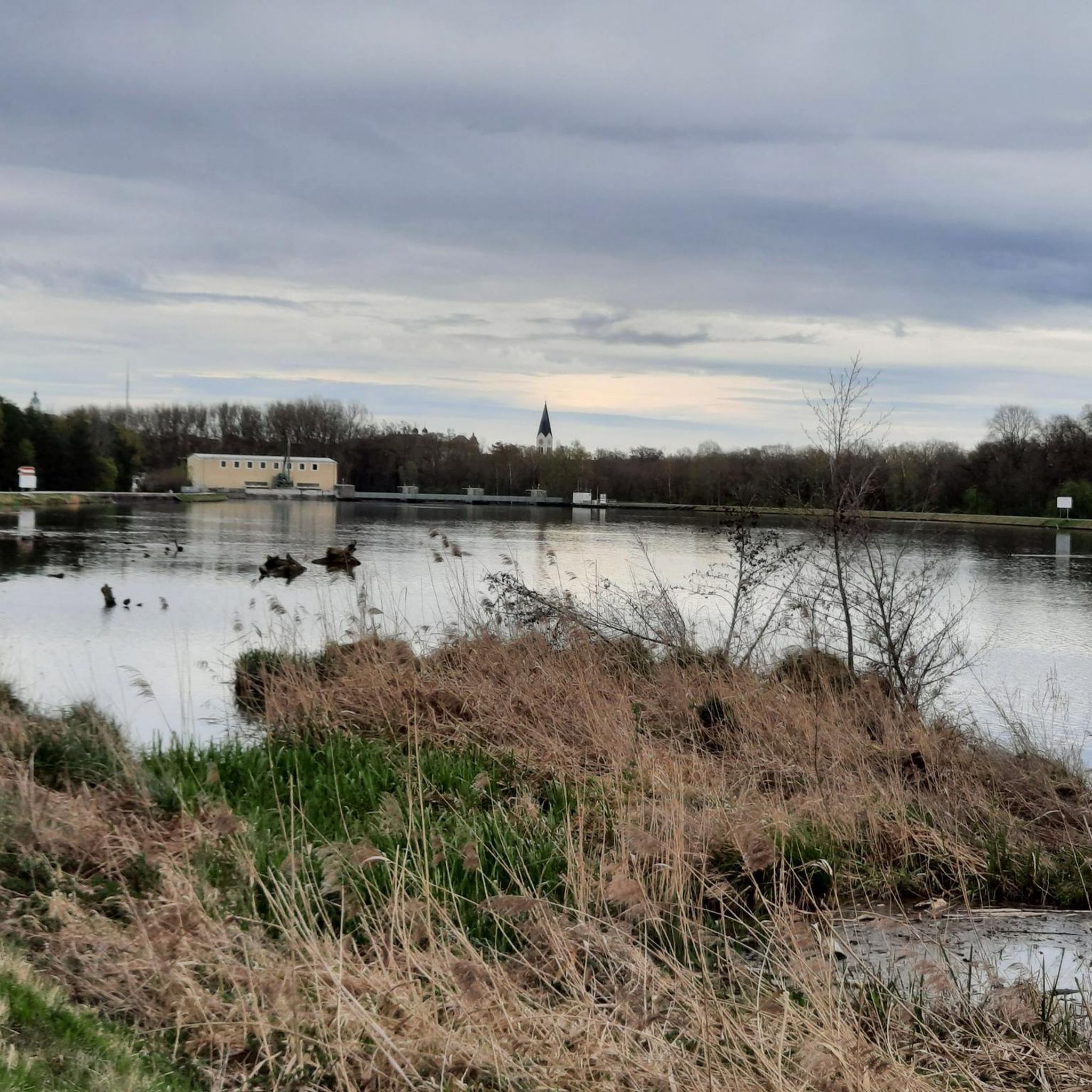
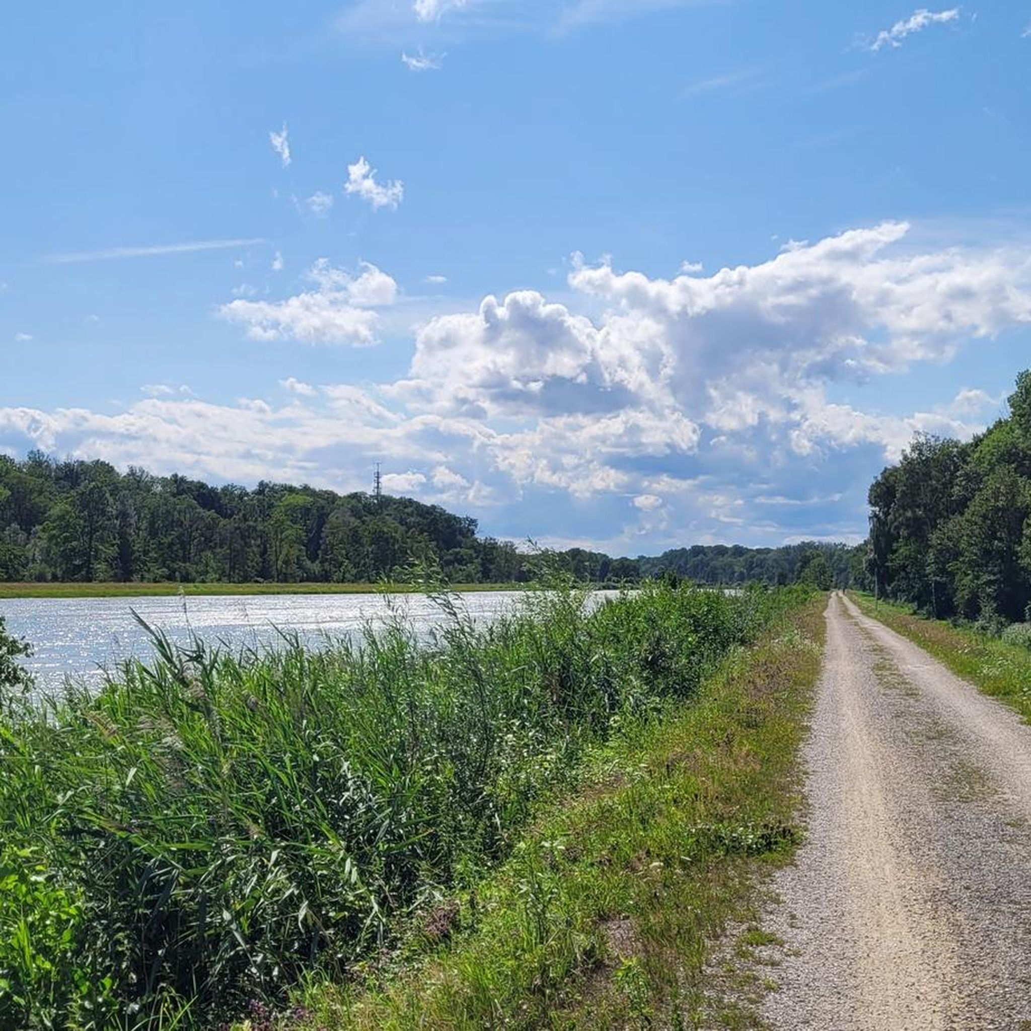
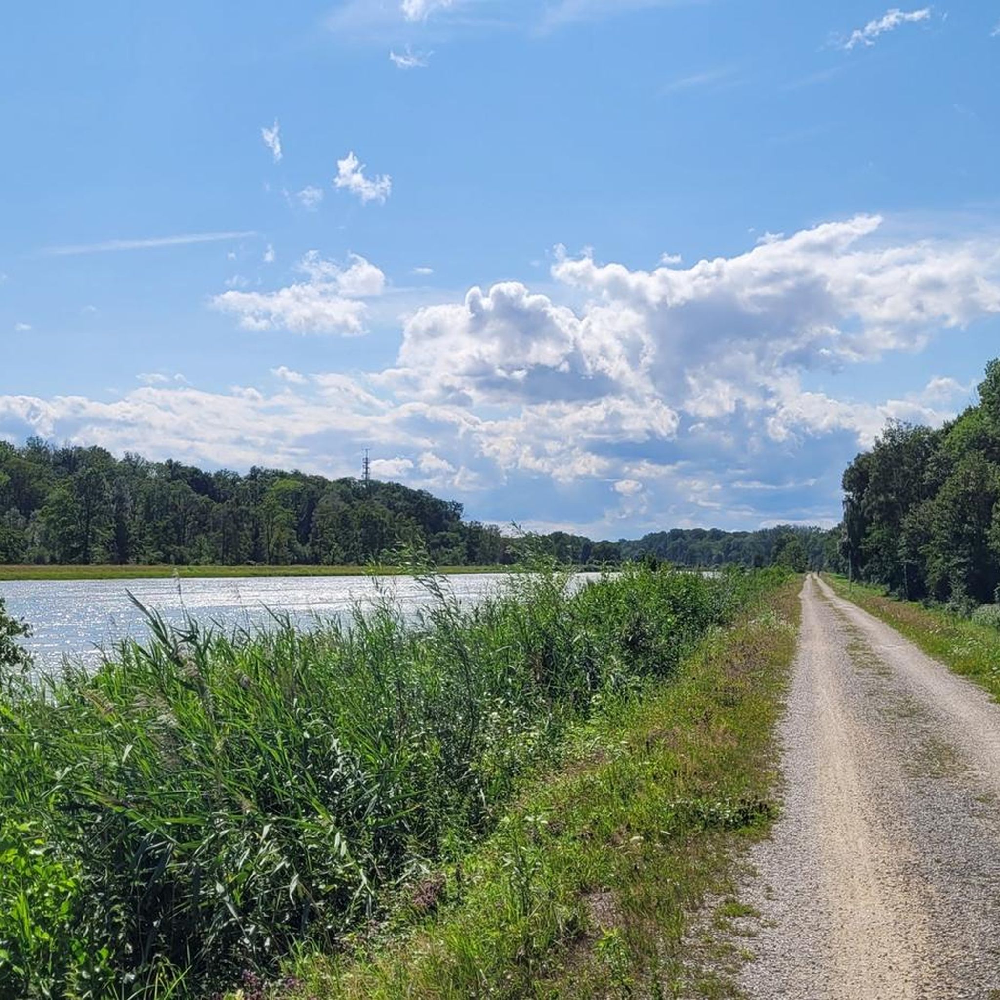
ドナウ川は、ここでは巨大な奔流というよりは川であり、変化に富んだサイクリングに美しい区間があります。いつも素晴らしい体験です。
0
0


Danube Cycle Path, wonderful view
0
0

Although on a busy road, but still a beautiful view of the Danube
0
0
ナウワルドでのの人気観光スポット

komootモバイルアプリでインスピレーションを得よう


さらに探索
他の地域の最高のサイクリングルートを見てみましょう。
