ライダルウォーターのおすすめツーリングルート
4.6
(198)
5,208
ライダー
150
ライド
ライダルウォーター周辺にはバイクライド向きのルートがたくさんあるため、ルート選びも簡単ではありません。この湖の魅力をすぐに体験していただけるように、komootおすすめのルートをまとめました。 ページを下にスクロールしてライダルウォーター周辺のサイクリングルートの詳細をご覧になり、気に入ったルートが見つかったら、さっそく冒険に出かけましょう。
最終更新日: 10月 12, 2026
4.4
(5)
82
ライダー
54.7km
03:45
760m
760m
難しい自転車ライド. 標準以上のフィットネスレベルが必要です。 ほとんどが舗装路です。
4.8
(6)
54
ライダー
38.9km
02:50
640m
640m
難しい自転車ライド. 標準以上のフィットネスレベルが必要です。 ほとんどが舗装路です。

4.0
(4)
26
ライダー
59.2km
04:41
1,150m
1,150m
難しい自転車ライド. 標準以上のフィットネスレベルが必要です。 ほとんどが舗装路です。
5.0
(1)
123
ライダー
93.0km
06:22
1,240m
1,240m
難しい自転車ライド. 標準以上のフィットネスレベルが必要です。 ほとんどが舗装路です。
5.0
(3)
33
ライダー
20.5km
01:19
150m
150m
初級者向けバイクライド. ほとんどが舗装路です。
さらに多くのルートや他のユーザーのおすすめ情報を確認できます。
すでにアカウントをお持ちですか?
おすすめのツアーは他のkomootユーザーが実際に経験した何千ものアクティビティに基づいています。
無料アカウントで今日から始めよう
次の冒険が待っています。
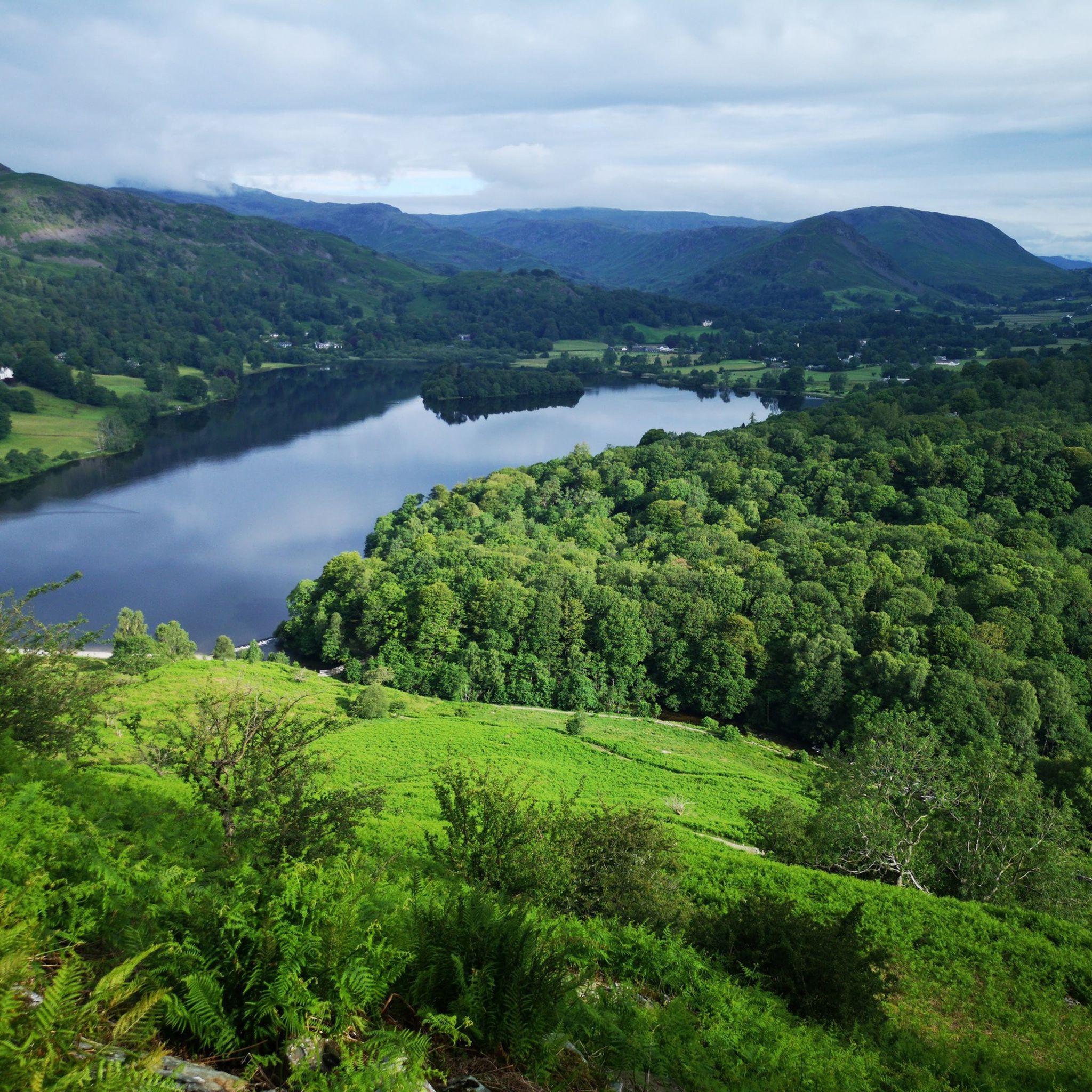
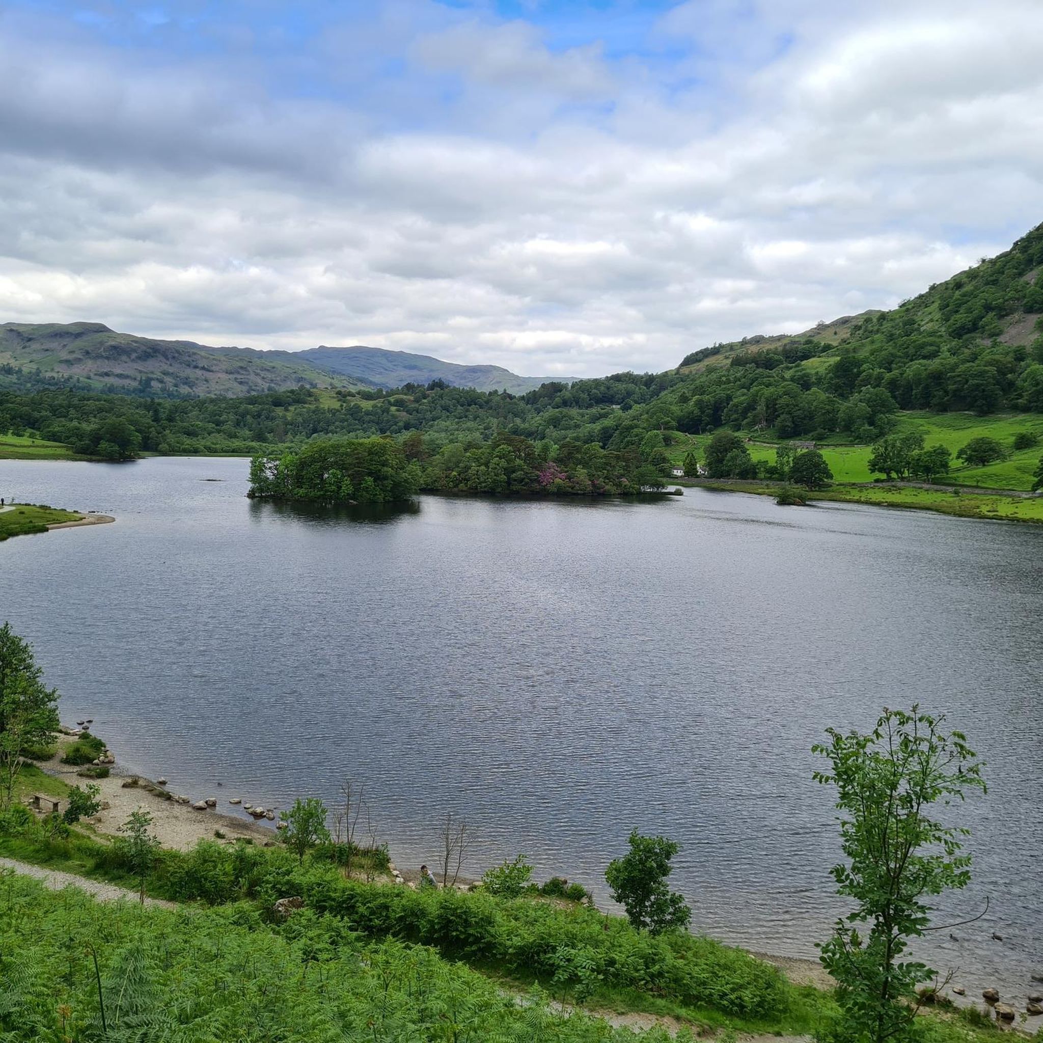
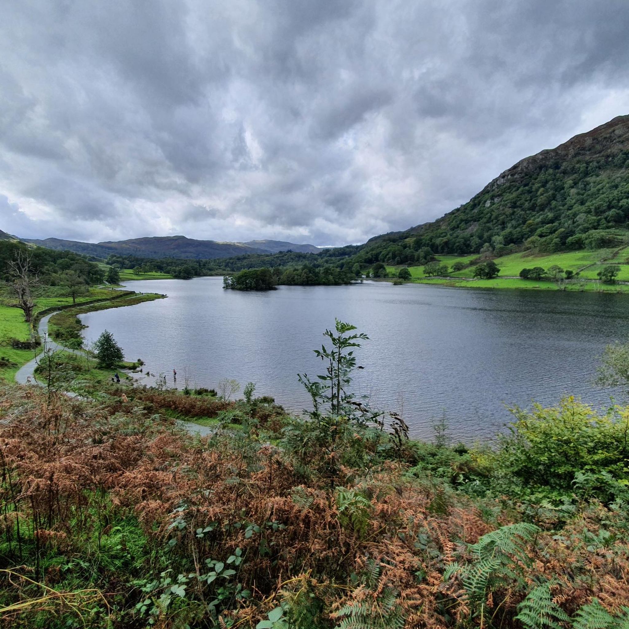
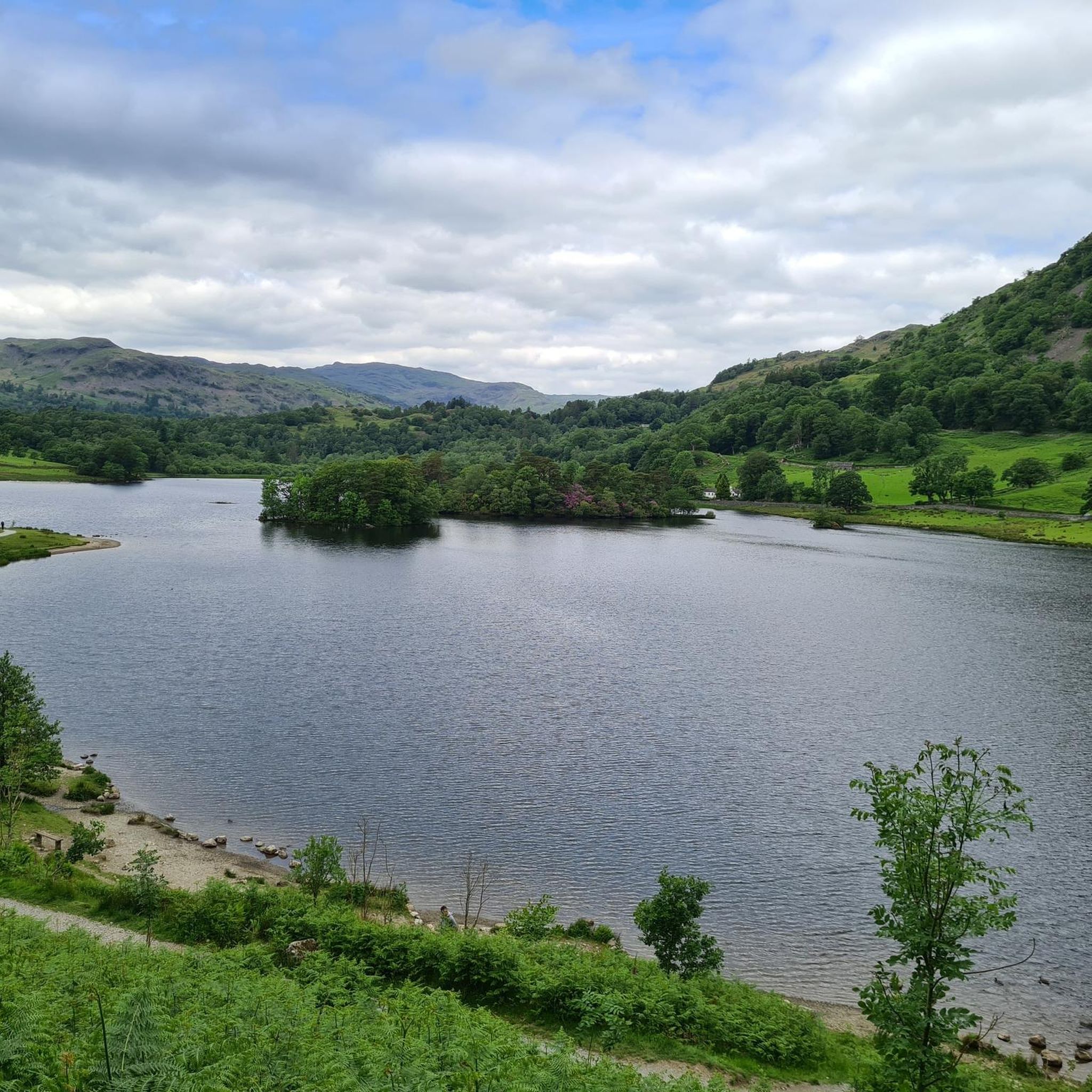

コミュニティからのヒント

素晴らしい景色を楽しめる素敵なライドですが、グラベルライドというよりは、東岸沿いの非常に静かな道路を走るルートで、素敵なカフェでの休憩も楽しめます。西岸は少し起伏があり、交通量も多めです。とはいえ、このライドはそれだけの価値があり、決してきついルートではありません。
0
0

この橋は、ElterwaterとChapel Stileの間を移動する際にGreat Langdale Beckを渡るために使用されます。また、この橋を渡るとElterwaterからWainwright's Innにアクセスできます。
11
0
Elterwaterとその周辺はサイクリングに最適です。村には、AmblesideやConistonなどへ続くサイクリングルートがあります。
9
0

Stunning area to cycle in, can get very busy in high season though
0
0
A good quiet ride away from Keswick, mixed surface ride.
1
0
Skelwith Force is one of the smaller waterfalls in the Lake District but is still impressive. You can walk up a boardwalk to a viewpoint on large rocks.
12
0
The Brathay is a river in North West England. The name comes from the Old Norse and means broad river. The river rises at an elevation of 393 metres above sea level, near the Three Shire Stone at the highest point of Wrynose Pass in the Lake District. Its catchment includes the northern flanks of Wetherlam, Great Carrs and other parts of the Furness Fells, as well as a significant part of the Langdale Fells. The river flows through Elter Water which forms the dividing line between the upper and lower catchments. (Wikipedia)
12
0

After crossing the bay, the original tries to take you down the A590, a dual carriageway with cars doing 70 mph for 350 m to the roundabout. Not Safe or advisable!
0
0

komootモバイルアプリでインスピレーションを得よう


さらに探索
他の地域の最高のサイクリングルートを見てみましょう。
