ガスウェイト貯水池のおすすめツーリングルート
4.6
(59)
1,001
ライダー
48
ライド
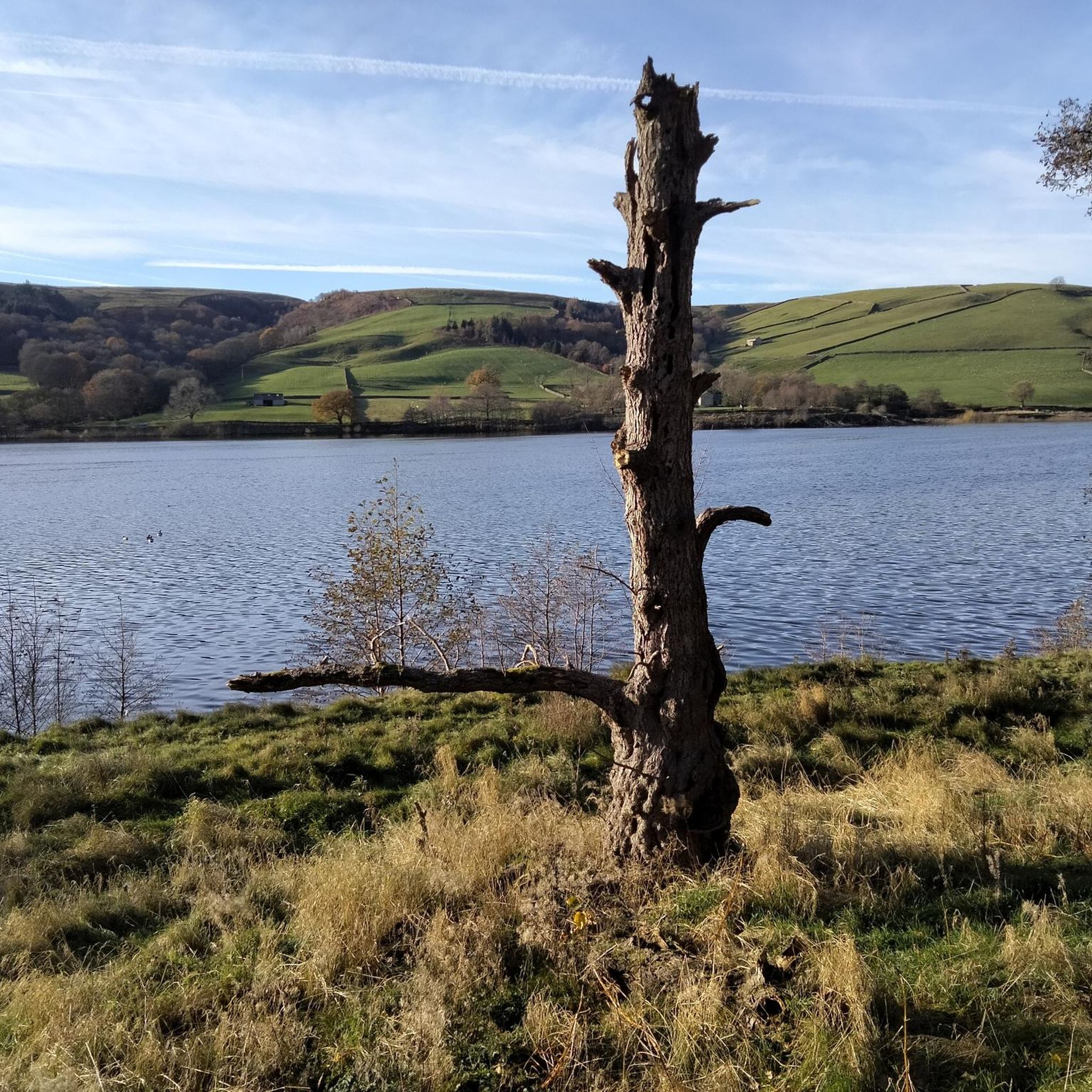
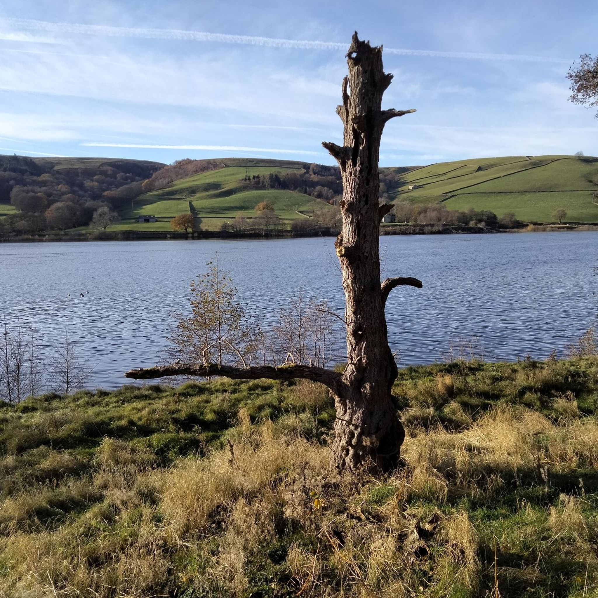
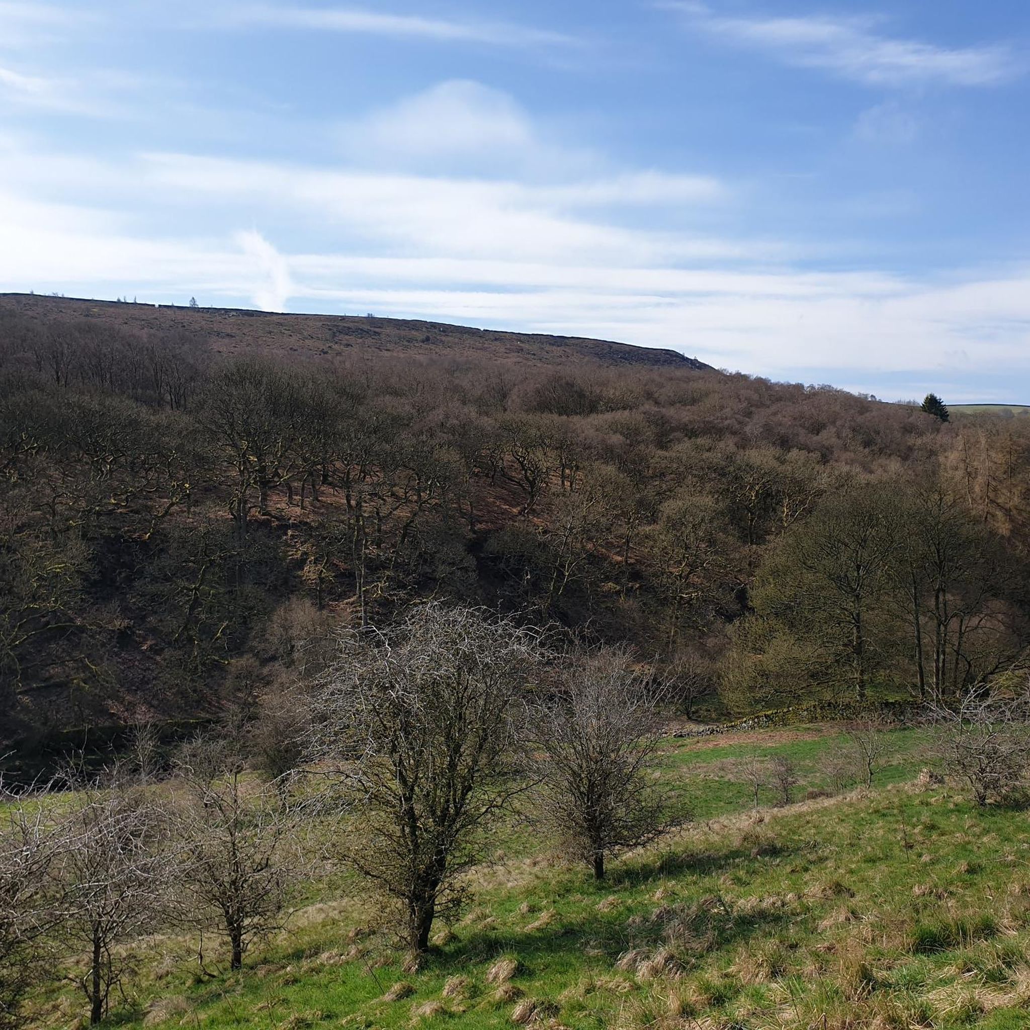
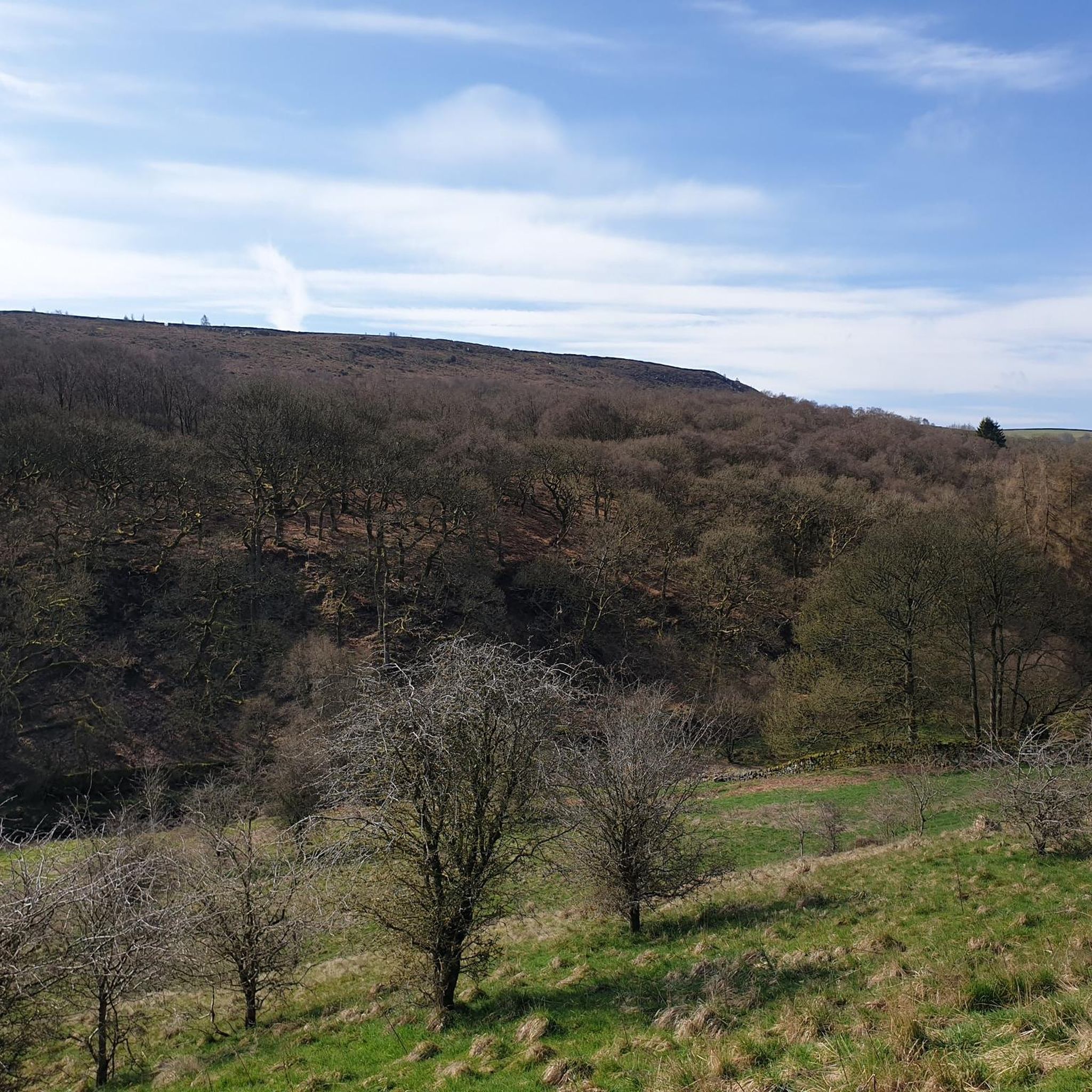
サイクリングルートは、ニダーデール国立景観保護区内の静かな水辺、なだらかな丘陵地帯、広大な農地を特徴とする景観を横断してゴウスウェイト貯水池の周りを巡ります。この地域には、貯水池自体、ニッド川、そして周囲の森林があり、サイクリストに多様な地形を提供しています。ルートは整備された道路や石畳の道に沿って進むことが多く、水面とニダーデール渓谷の連続した景色を楽しめます。この地域の標高は、貯水池沿いの緩やかな勾配から、周囲のフェルへのより挑戦的な登りまで変化します。
ゴウスウェイト貯水池周辺のサイクリングルートベスト
- 最も人気のあるサイクリングルートは、パトリーブリッジ発のゴウスウェイト貯水池 – ストーンブリッジ、パトリーブリッジループです。これは13.6マイル(21.9 km)のルートで、所要時間は1時間19分です。この中程度の難易度のルートは貯水池の端に沿って進み、水面と渓谷の景色の良い景色を提供します。
- 地元のサイクリストに人気のもう一つのルートは、ニダーデール高校発のスカールハウス貯水池とダム – ゴウスウェイト貯水池ループです。これは難易度の高い20.6マイル(33.2 km)のルートです。このルートは複数の貯水池とニダーデール渓谷を通り抜け、多様な地形を提供します。
- 地元のサイクリストは、パトリーブリッジ発のスカールハウス貯水池とダム – ゴウスウェイト貯水池ループも気に入っています。これは24.2マイル(39.0 km)のルートで、ニダーデール渓谷を通り抜け、所要時間は約2時間30分です。
- ゴウスウェイト貯水池周辺のサイクリングは、静かな水辺、なだらかな丘陵地帯、広大な農地が特徴です。このネットワークは、貯水池沿いの適度なライドから、かなりの標高差を伴うより挑戦的なルートまで、さまざまなレベルのサイクリストに対応するオプションを提供します。
- ゴウスウェイト貯水池のルートは、50件以上のレビューから平均4.6つ星という高い評価をkomootコミュニティから受けています。1200人以上のサイクリストがkomootを利用して、ゴウスウェイト貯水池の多様な地形を探検しました。
最終更新日: 9月 1, 2026
9
ライダー
20.2km
01:18
230m
230m
中程度の自転車ライド. ある程度のフィットネスレベルが必要です。 全般的に舗装された状態です。あらゆるスキルレベルに適しています。
4.7
(3)
213
ライダー
33.2km
02:43
610m
610m
難しい自転車ライド. 標準以上のフィットネスレベルが必要です。 全般的に舗装された状態です。あらゆるスキルレベルに適しています。

18
ライダー
15.5km
00:57
130m
140m
初級者向けバイクライド. あらゆるフィットネスレベルに適しています。 全般的に舗装された状態です。あらゆるスキルレベルに適しています。
4.0
(2)
60
ライダー
27.3km
01:57
430m
430m
中程度の自転車ライド. ある程度のフィットネスレベルが必要です。 全般的に舗装された状態です。あらゆるスキルレベルに適しています。
4.6
(5)
53
ライダー
39.1km
02:29
420m
420m
中程度の自転車ライド. ある程度のフィットネスレベルが必要です。 全般的に舗装された状態です。あらゆるスキルレベルに適しています。
さらに多くのルートや他のユーザーのおすすめ情報を確認できます。
すでにアカウントをお持ちですか?
おすすめのツアーは他のkomootユーザーが実際に経験した何千ものアクティビティに基づいています。
無料アカウントで今日から始めよう
次の冒険が待っています。

コミュニティからのヒント


Quintessentially pretty market town, arrive early to find suitable parking, best place is next to the showground on the southern side of the bridge over the River Nidd. Honesty box only (no payment cards), cheap at £1 up to 4 hours and £2 all day (spring 2025 prices). The southern end of Nidderdale around Pateley Bridge has one of the densest concentrations of public footpaths in North Yorkshire, so loads of routeing options. See the North Yorks public rights of way map at https://maps.northyorks.gov.uk/connect/analyst/mobile/#/main?mapcfg=Out_and_About
1
0

This is a beautiful road to cycle down that follows the entire length of the reservoir. It's surrounded by rolling hills and farmland and provides great views of the Nidderdale Valley.
1
0

Beautiful spot, with plenty of birds and other wildlife to see. A parking and picnic area is next to the road with a viewing platform.
0
0

A small but quaint town in the Yorkshire Dales.
0
0

Great to spectate after heavy rainfall in the area
0
0

Completed in 1936 Scar House Reservoir was built to supply water to the Bradford area. It was built after Angram reservoir which is directly upstream and after Gouthwaite reservoir located a few miles downstream. The dam is 55m high in the middle.
0
0

komootモバイルアプリでインスピレーションを得よう


さらに探索
他の地域の最高のサイクリングルートを見てみましょう。
