ディーポルトザウのおすすめツーリングルート
4.1
(38)
314
ライダー
16
ライド
ディーポルトザウ周辺でのおすすめのサイクリングルートを参考にして、このエリアを最大限に楽しみましょう。ここでご紹介するのは、ディーポルトザウ周辺の人気バイクライドです。ぜひ、自分に合ったルートを見つけてください。
最終更新日: 9月 30, 2026
4.8
(22)
120
ライダー
20.9km
01:20
30m
30m
初級者向けバイクライド. あらゆるフィットネスレベルに適しています。 全般的に舗装された状態です。あらゆるスキルレベルに適しています。
5.0
(7)
41
ライダー
30.9km
01:45
60m
60m
初級者向けバイクライド. あらゆるフィットネスレベルに適しています。 全般的に舗装された状態です。あらゆるスキルレベルに適しています。

4.0
(1)
19
ライダー
24.8km
01:45
470m
470m
難しい自転車ライド. 標準以上のフィットネスレベルが必要です。 全般的に舗装された状態です。あらゆるスキルレベルに適しています。
5.0
(2)
13
ライダー
21.8km
01:15
50m
50m
初級者向けバイクライド. あらゆるフィットネスレベルに適しています。 全般的に舗装された状態です。あらゆるスキルレベルに適しています。
10
ライダー
14.9km
00:57
20m
20m
初級者向けバイクライド. あらゆるフィットネスレベルに適しています。 全般的に舗装された状態です。あらゆるスキルレベルに適しています。
さらに多くのルートや他のユーザーのおすすめ情報を確認できます。
すでにアカウントをお持ちですか?
おすすめのツアーは他のkomootユーザーが実際に経験した何千ものアクティビティに基づいています。
無料アカウントで今日から始めよう
次の冒険が待っています。
コミュニティからのヒント


Such a beautiful route!
0
0

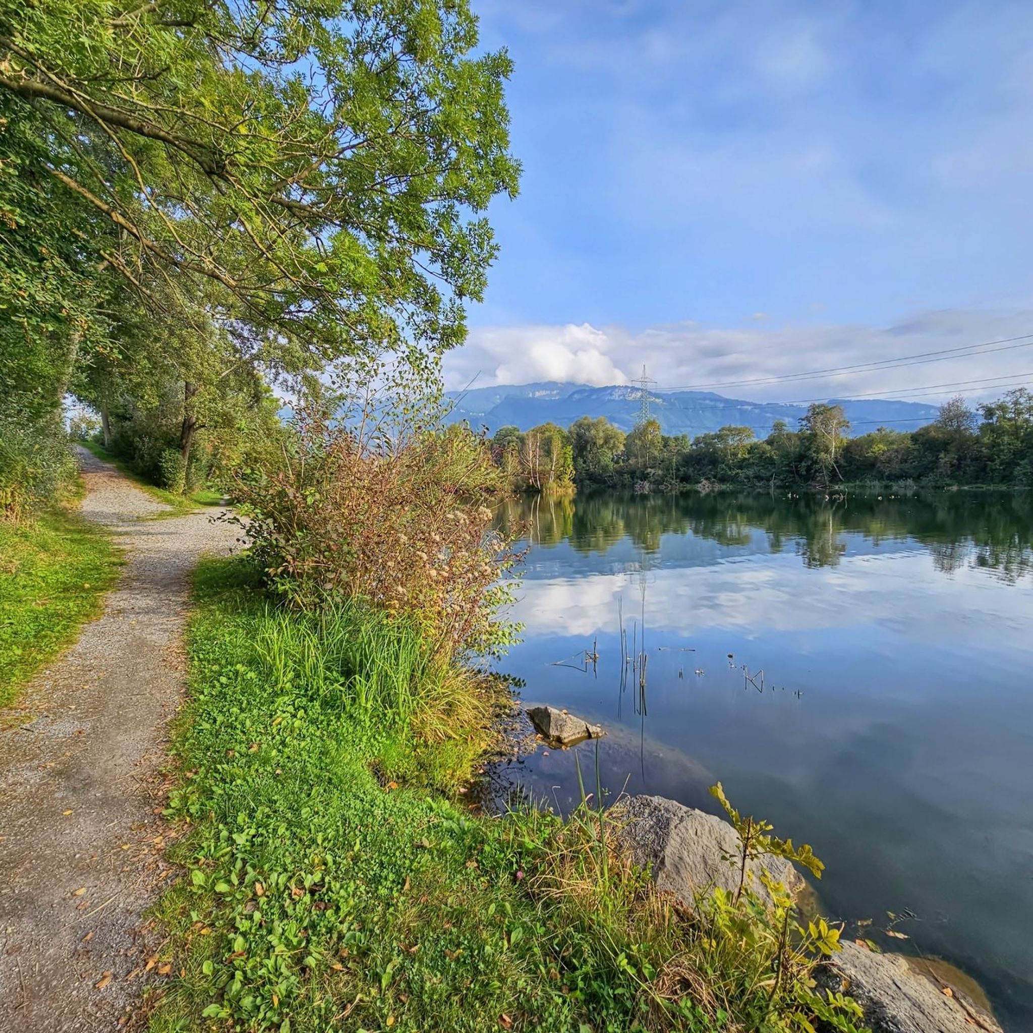
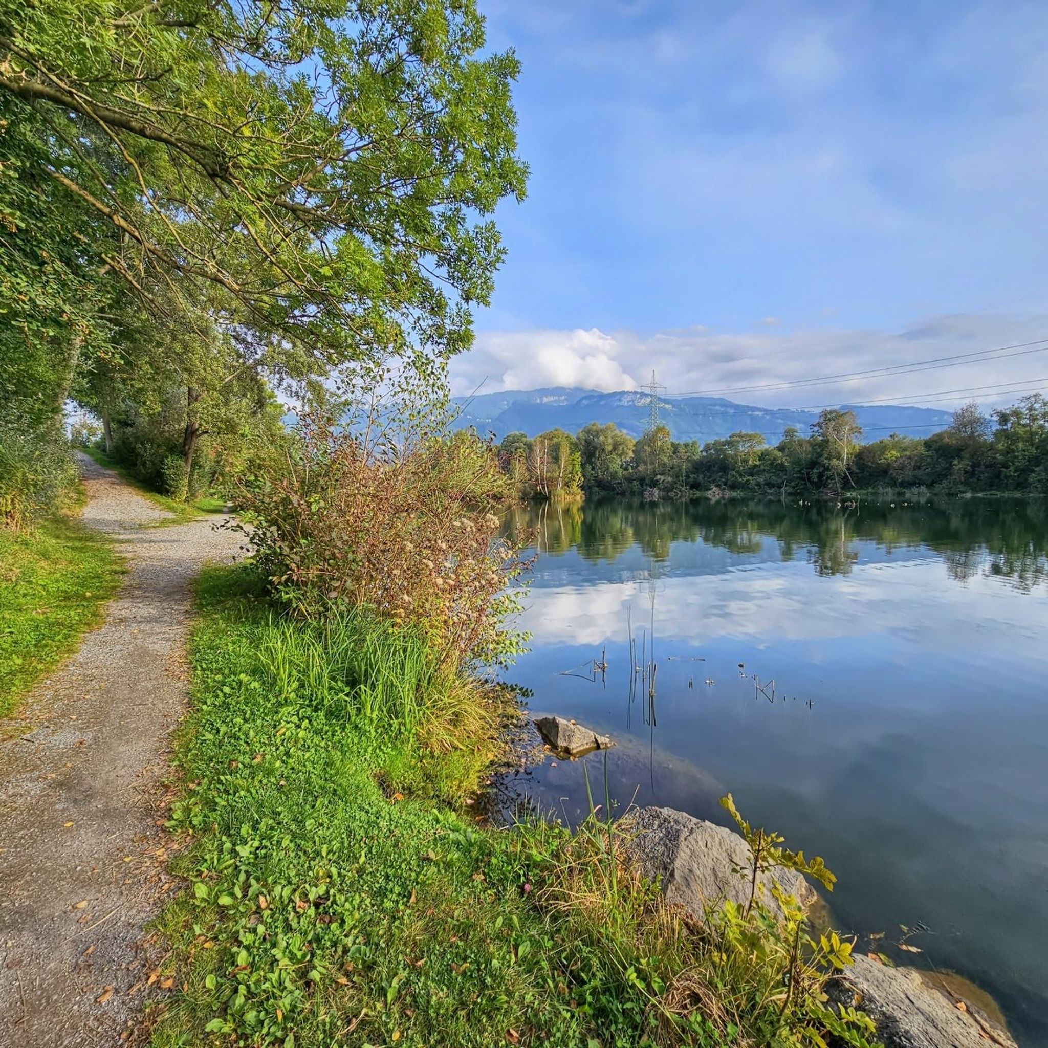
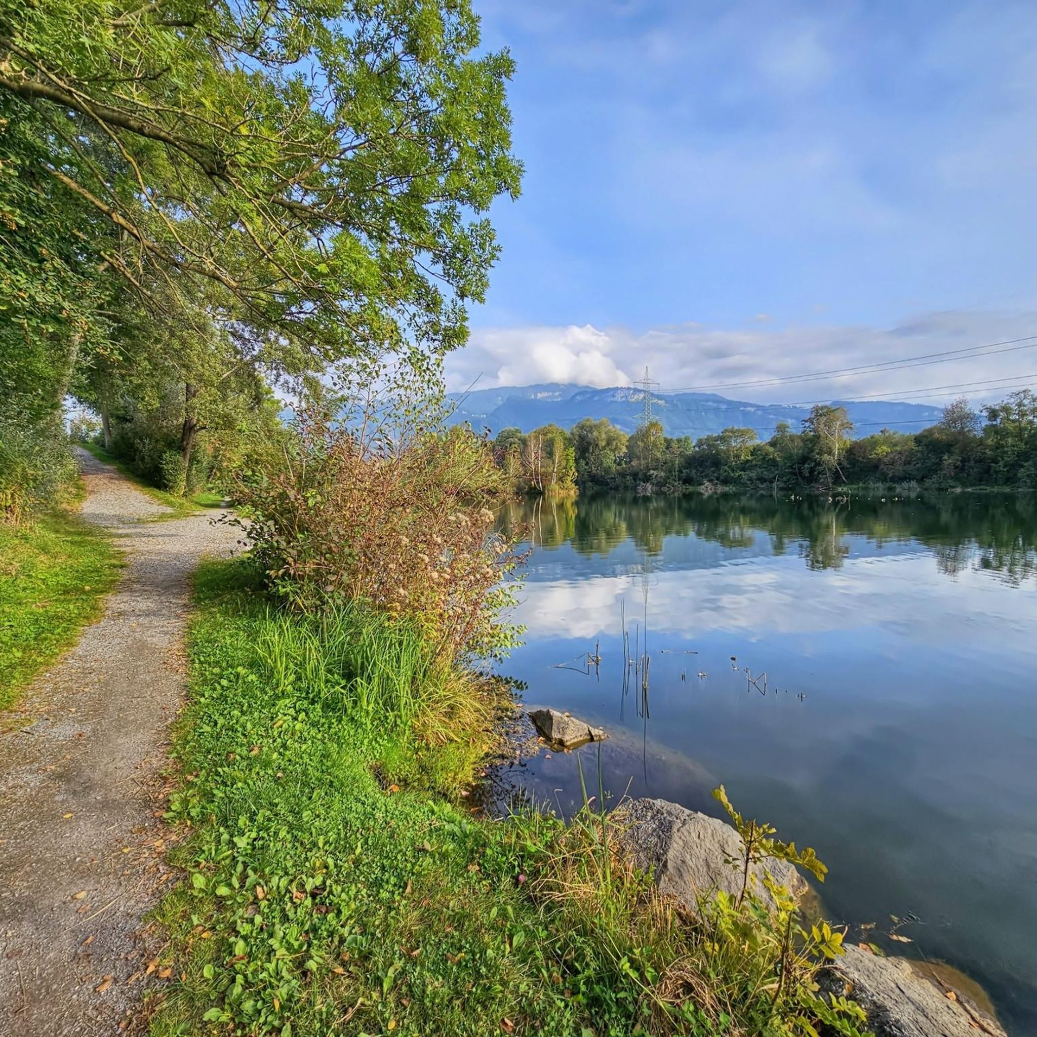
Wichenstein Nature Reserve, Oberriet The extensive Wichenstein Nature Reserve, with its biotope and set against the backdrop of an imposing limestone cliff, is an important nesting site for forest, hedge, and water birds. This wetland also provides a habitat for many insects, frogs, and amphibians. Wichenstein, with its over 20 hectares of land, is considered a reserve of supra-regional importance. It offers a place of peace and relaxation. A fire pit is located in the immediate vicinity of the pond. Text / Source: Municipality of Oberriet https://www.oberriet.ch/natur/7484
13
3
Wichenstein Nature Reserve, Oberriet The extensive Wichenstein Nature Reserve, with its biotope and set against the backdrop of an imposing limestone cliff, is an important nesting site for forest, hedge, and water birds. This wetland also provides a habitat for many insects, frogs, and amphibians. Wichenstein, with its over 20 hectares of land, is considered a reserve of supra-regional importance. It offers a place of peace and relaxation. A fire pit is located in the immediate vicinity of the pond. Text / Source: Municipality of Oberriet https://www.oberriet.ch/natur/7484
14
0
Wichensteiner See, Oberriet The Wichensteiner See is located in the municipality of Oberriet at the eastern foot of the Semelenberg. A clay pit operated on the area of the present lake from 1830 to 1972. The lake lies at an elevation of 420 meters above sea level and has a maximum depth of approximately 5.5 meters. It is divided into a smaller northern basin and a larger southern basin. The area was acquired by the municipality of Oberriet in 1976 and declared a nature reserve in 1982. East of the lake lies the "Grube Loo" (Loo Pit) – also a former clay pit – which, together with the Wichensteiner See, is a fen of regional importance and an amphibian spawning area of national importance. The lake is fed, in addition to underground springs, by the Wichensteinerbach stream, which drains the northern foot of the Semelenberg. The outflow structure leads into the Aubach stream. Text / Source: Canton of St. Gallen, Office for Environment and Energy https://www.sg.ch/content/dam/sgch/umwelt-natur/wasser/seen-und-weiher/02-01--gew%C3%A4sserqualit%C3%A4t-seen/kleinseen-und-weiher/Wichtensteiner%20See%20Oberriet.pdf
15
0


Good, home-style cooking, beautiful views of the Rhine Valley and Vorarlberg.
1
0

komootモバイルアプリでインスピレーションを得よう


さらに探索
他の地域の最高のサイクリングルートを見てみましょう。
