AthertonのおすすめMTBライド
4.6
(152)
1,763
ライダー
56
ライド
アサートン周辺のマウンテンバイクは、なだらかな丘陵地帯と森林地帯を特徴とする多様な景観を提供しており、ルートからは周囲の自然環境の眺めが楽しめることがよくあります。地形は、舗装路、未舗装路、シングルトラックが混在しており、さまざまなスキルレベルに対応しています。この地域には、緑豊かな熱帯雨林と火山景観があり、マウンテンバイクアドベンチャーの多様な背景を提供しています。高低差は一般的で、緩やかな上り坂からより大きな登り坂まであります。
アサートン周辺の最高のMTBトレイル
- 最も人気のあるマウンテンバイクコースは、キングスマウンテンロード – ウッドサイド発キングスマウンテンロードループで、距離17.9km(11.1マイル)、所要時間1時間28分です。このルートは、森林地帯を抜ける適度な登り坂が特徴です。
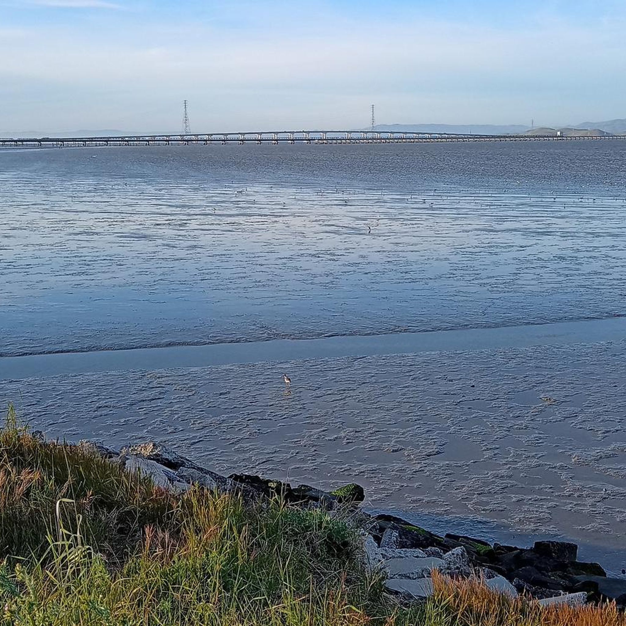
- 地元のマウンテンバイカーに人気のもう一つのコースは、サンフランシスコ・ベイ・トレイル – パロアルト発ショアライン湖ループで、距離76.4km(47.5マイル)の適度なコースです。このトレイルは、広大な湾岸の景色と平坦なセクションを提供します。
- 地元のマウンテンバイカーに人気なのは、ウォータードッグ湖 – レッドウッドシティ発チャパラル・トレイルループで、距離29.7km(18.4マイル)のトレイルは、変化に富んだ公園や丘陵地帯を通り抜け、所要時間は約2時間21分です。
- アサートン周辺のマウンテンバイクは、なだらかな丘陵地帯、森林地帯のトレイル、そして風光明媚な湖や湾岸の道が特徴です。このネットワークは、アサートンでの初心者向けの簡単なマウンテンバイクコースから、大きな高低差のあるアサートンでのより高度なマウンテンバイクコースまで、さまざまなレベルのオプションを提供しています。
- アサートンのルートはkomootコミュニティから高く評価されており、130件以上のレビューから平均4.7つ星を獲得しています。1400人以上のマウンテンバイカーがkomootを利用して、アサートンの多様な地形を探索しています。
最終更新日: 8月 18, 2026
20
ライダー
17.9km
01:28
510m
510m
中程度のマウンテンバイクライド. ある程度のフィットネスレベルが必要です。 あらゆるスキルレベルに適しています。
16
ライダー
41.0km
03:32
870m
870m
中程度のマウンテンバイクライド. ある程度のフィットネスレベルが必要です。 あらゆるスキルレベルに適しています。

無料新規登録
12
ライダー
28.7km
02:15
510m
510m
中程度のマウンテンバイクライド. ある程度のフィットネスレベルが必要です。 あらゆるスキルレベルに適しています。
9
ライダー
76.4km
04:30
120m
120m
中程度のマウンテンバイクライド. ある程度のフィットネスレベルが必要です。 あらゆるスキルレベルに適しています。
10
ライダー
51.4km
04:35
1,180m
1,180m
難しいマウンテンバイクライド. 標準以上のフィットネスレベルが必要です。 高度なライディングスキルが必要です。ツアーの一部で自転車を押して歩く必要があるかもしれません。
さらに多くのルートや他のユーザーのおすすめ情報を確認できます。
無料新規登録
すでにアカウントをお持ちですか?
おすすめのツアーは他のkomootユーザーが実際に経験した何千ものアクティビティに基づいています。
無料アカウントで今日から始めよう
次の冒険が待っています。
ログインまたは登録
コミュニティからのヒント

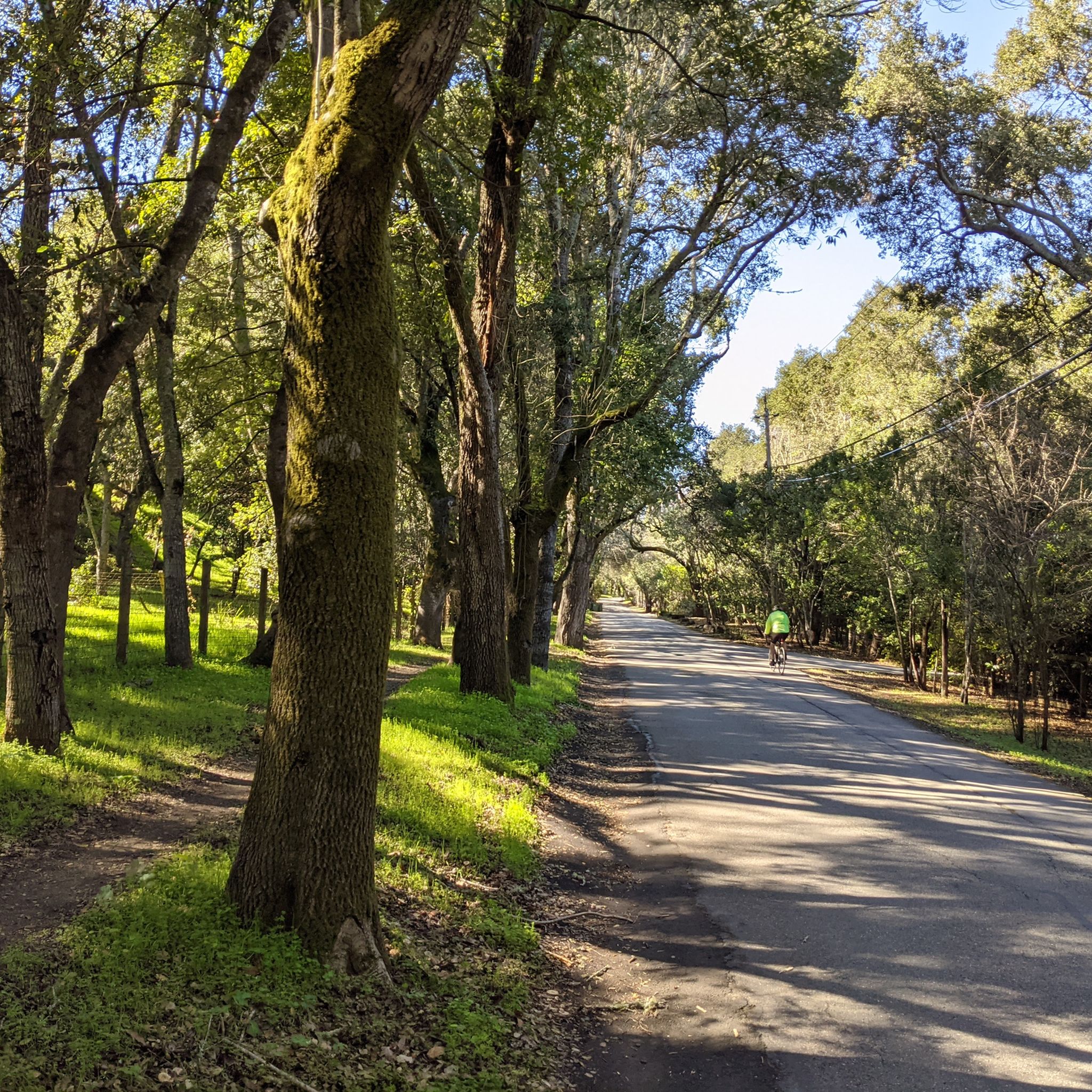
A nice pocket of multi-use, natural-surface trails. Dogs are allowed, but must be kept on leash.
0
0

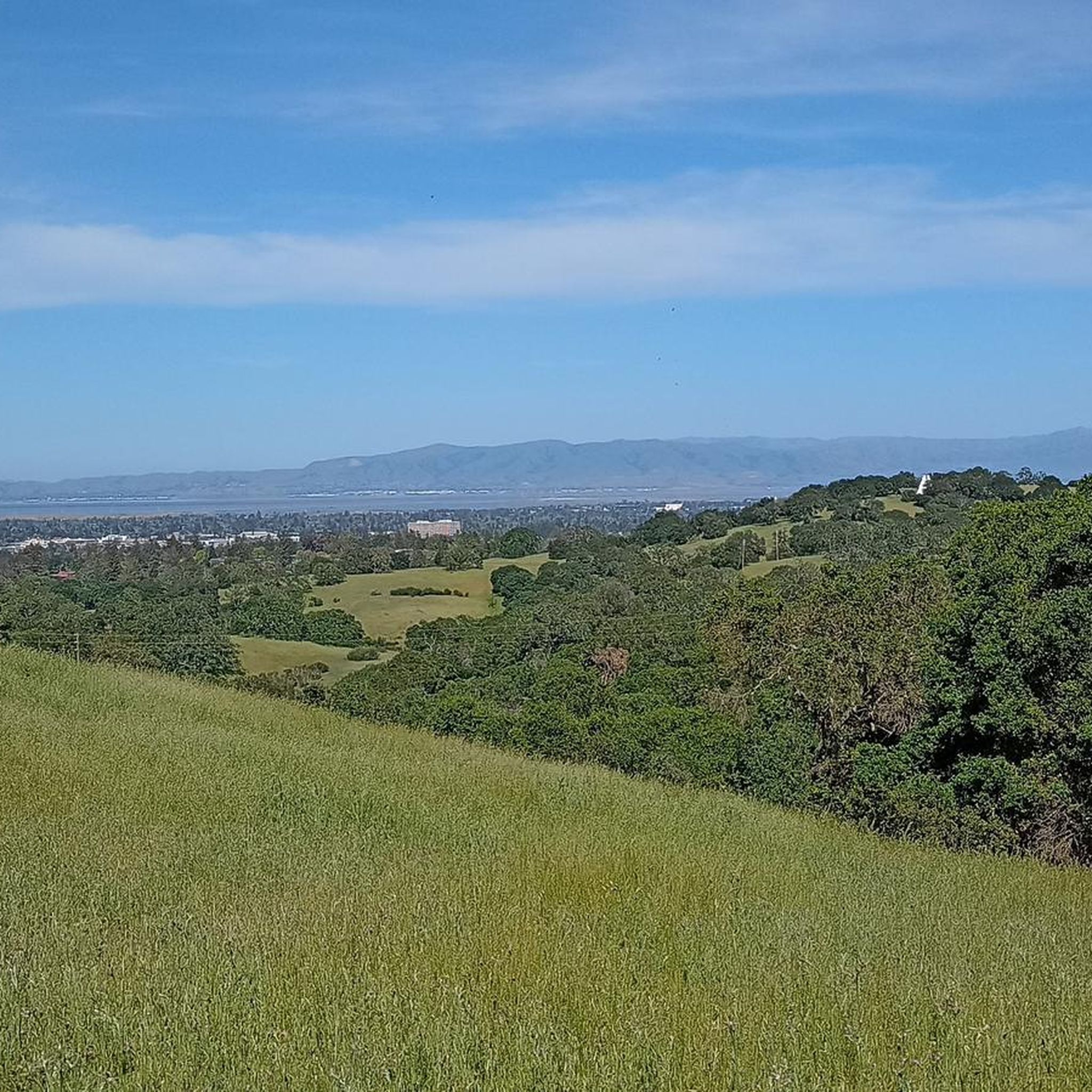
Such peaceful views at this spot on the trail after a long hike!
0
0
At the top of the John Brooks Trail, you're treated to peaceful views of the surrounding San Francisco Peninsula Watershed.
0
0

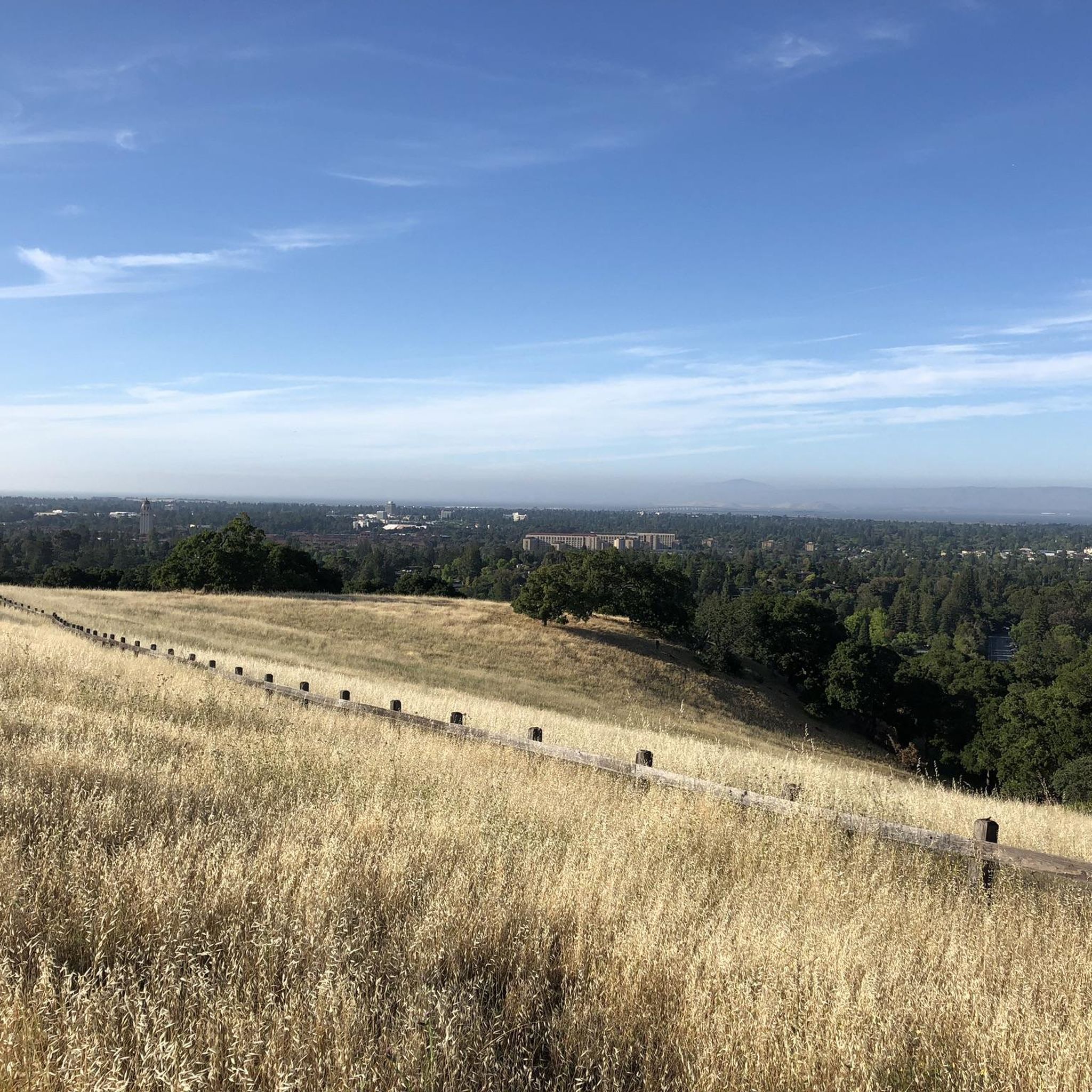
Borel Hill is my favorite place to watch spring flowers. The western slope near ancient oaks (5-10min west of Borel Hill) are covered with orange California Poppies and purple flowers starting in April. Borel Hill itself peaks around mid May and has a wide variety of flowers. The show lasts only a few weeks until end of May. The peak time and flower intensity varies from year to year, so come several times between April and May. There is small summit NW of Borel Hill and a narrow dirt trail leads you to a rock within 2 min. The rock is big enough for 2-3 to sit on. On a sunny day, the rock is nice warm even if the air is cold. Good views on the ocean and the Bay.
1
0

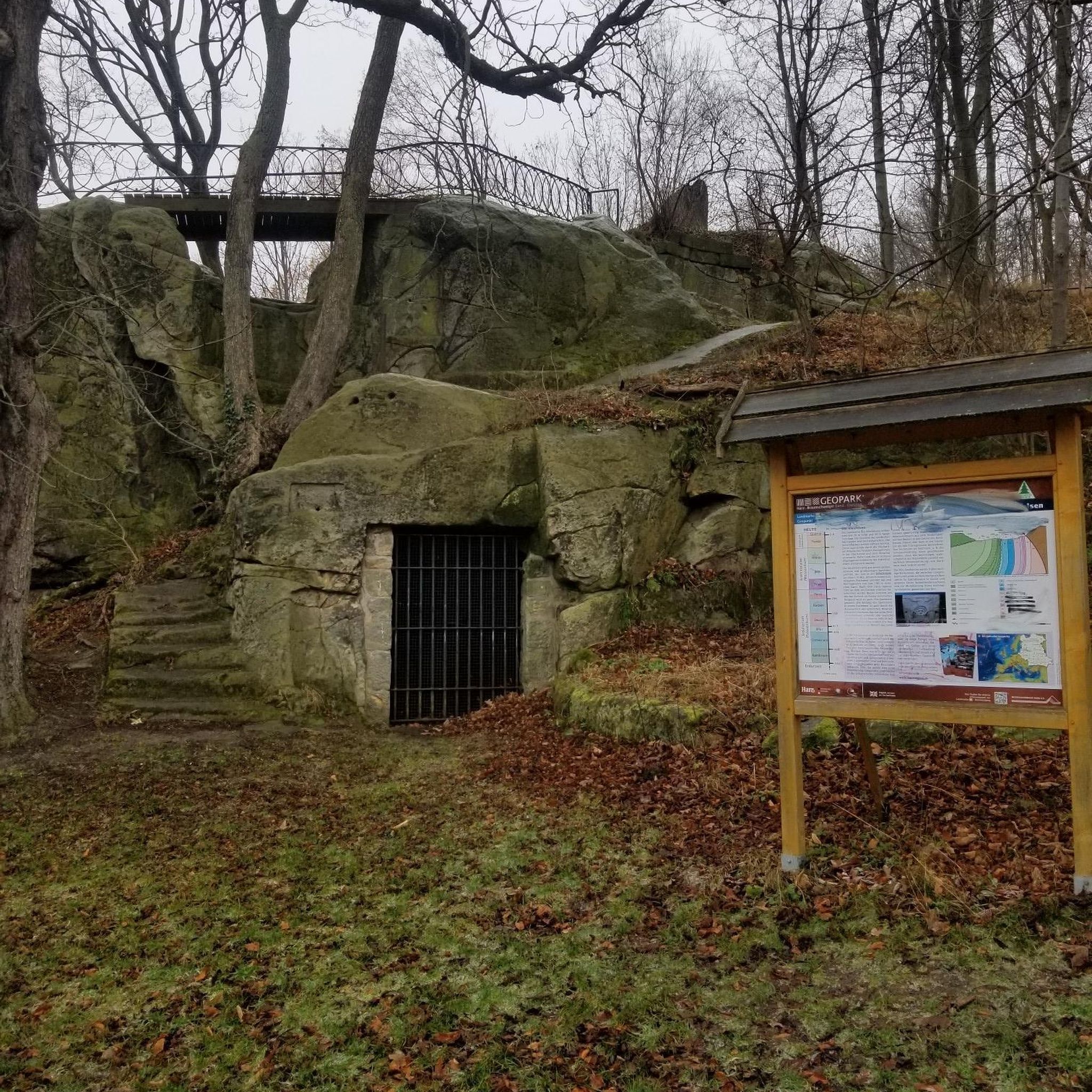
Woodside Store was built back in the 1850s by two pioneers who came to California for the gold rush. At the time it was the only stagecoach stop between San Francisco and Santa Clara, and it carried all the essential items that travelers riding between cities might need. The store has been restored, inside and out, to look exactly as it did centuries ago. You can call the museum ahead of your trip to book tours.
0
0

The San Francisco Bay Trail is a flat, paved trail that runs along the border of the bay. It is a great place for a run because it is traffic free and has great views.
0
0

Water Dog Lake, also known as the John Brooks Memorial Open Space, is located in Belmont, California. The park features a network of trails open for hiking and mountain biking, but dogs must be kept on leash at all times.
0
0
This lake is actually an obstructed stream, once dammed up to provide water to nearby Belmont. Now it's a fantastic recreation site, with several loops of trails that are good for hiking, running and biking.
0
0
around Athertonの人気観光スポット

komootモバイルアプリでインスピレーションを得よう


さらに探索
他の地域の最高のMTBトレイルを見てみましょう。
