タクサーアルプスのおすすめライド
4.5
(311)
8,096
ライダー
66
ライド
このガイドでご紹介するのは、komootがタクサーアルプスでのロードバイクルートのコレクション全体を評価して選び抜いた、このエリアの人気バイクライドです。あなたに合ったものを見つけるには、以下のルートをクリックして標高データや舗装状態の分析などの細かな情報を把握し、さらにkomootコミュニティのメンバーが投稿した役立つ情報や写真も閲覧しましょう。
最終更新日: 10月 9, 2026
4.5
(63)
1,444
ライダー
64.0km
02:46
360m
360m
中程度のロードライド. ある程度のフィットネスレベルが必要です。 全般的に舗装状態が良好で走行しやすい道です。
4.4
(17)
525
ライダー
35.1km
01:54
720m
720m
中程度のロードライド. ある程度のフィットネスレベルが必要です。 全般的に舗装状態が良好で走行しやすい道です。

4.8
(20)
523
ライダー
46.4km
02:50
920m
920m
難しいロードライド. 標準以上のフィットネスレベルが必要です。 全般的に舗装状態が良好で走行しやすい道です。
4.4
(9)
367
ライダー
87.3km
04:58
1,970m
1,970m
難しいロードライド. 標準以上のフィットネスレベルが必要です。 全般的に舗装状態が良好で走行しやすい道です。
4.7
(9)
442
ライダー
64.8km
03:32
1,190m
1,190m
難しいロードライド. 標準以上のフィットネスレベルが必要です。 ツアーの一部に、未舗装のため走行が難しい箇所があるかもしれません。
4.7
(11)
262
ライダー
59.3km
04:36
2,270m
2,270m
難しいロードライド. 標準以上のフィットネスレベルが必要です。 全般的に舗装状態が良好で走行しやすい道です。
4.5
(44)
515
ライダー
51.6km
02:00
100m
100m
初級者向けロードバイクライド. あらゆるフィットネスレベルに適しています。 全般的に舗装状態が良好で走行しやすい道です。
5.0
(10)
296
ライダー
83.9km
04:50
1,550m
1,550m
難しいロードライド. 標準以上のフィットネスレベルが必要です。 全般的に舗装状態が良好で走行しやすい道です。
4.9
(12)
273
ライダー
92.8km
05:16
2,030m
2,030m
難しいロードライド. 標準以上のフィットネスレベルが必要です。 全般的に舗装状態が良好で走行しやすい道です。
4.7
(10)
477
ライダー
70.6km
03:42
1,270m
1,270m
難しいロードライド. 標準以上のフィットネスレベルが必要です。 全般的に舗装状態が良好で走行しやすい道です。
さらに多くのルートや他のユーザーのおすすめ情報を確認できます。
すでにアカウントをお持ちですか?
おすすめのツアーは他のkomootユーザーが実際に経験した何千ものアクティビティに基づいています。
無料アカウントで今日から始めよう
次の冒険が待っています。
タクサーアルプス周辺で人気
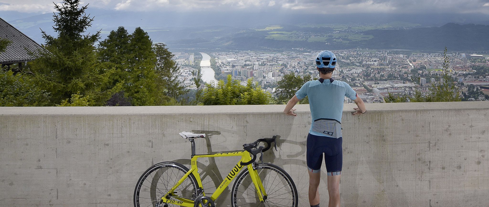
Innsbruck: The host city of the 2018 Road World Championships
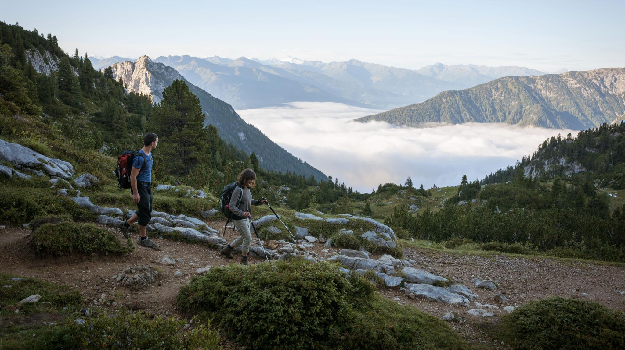
Majestic ハイキング along the Eagle Walk

ヴェネツィア・アルピナ経由 – アルプスを越えてアドリア海まで
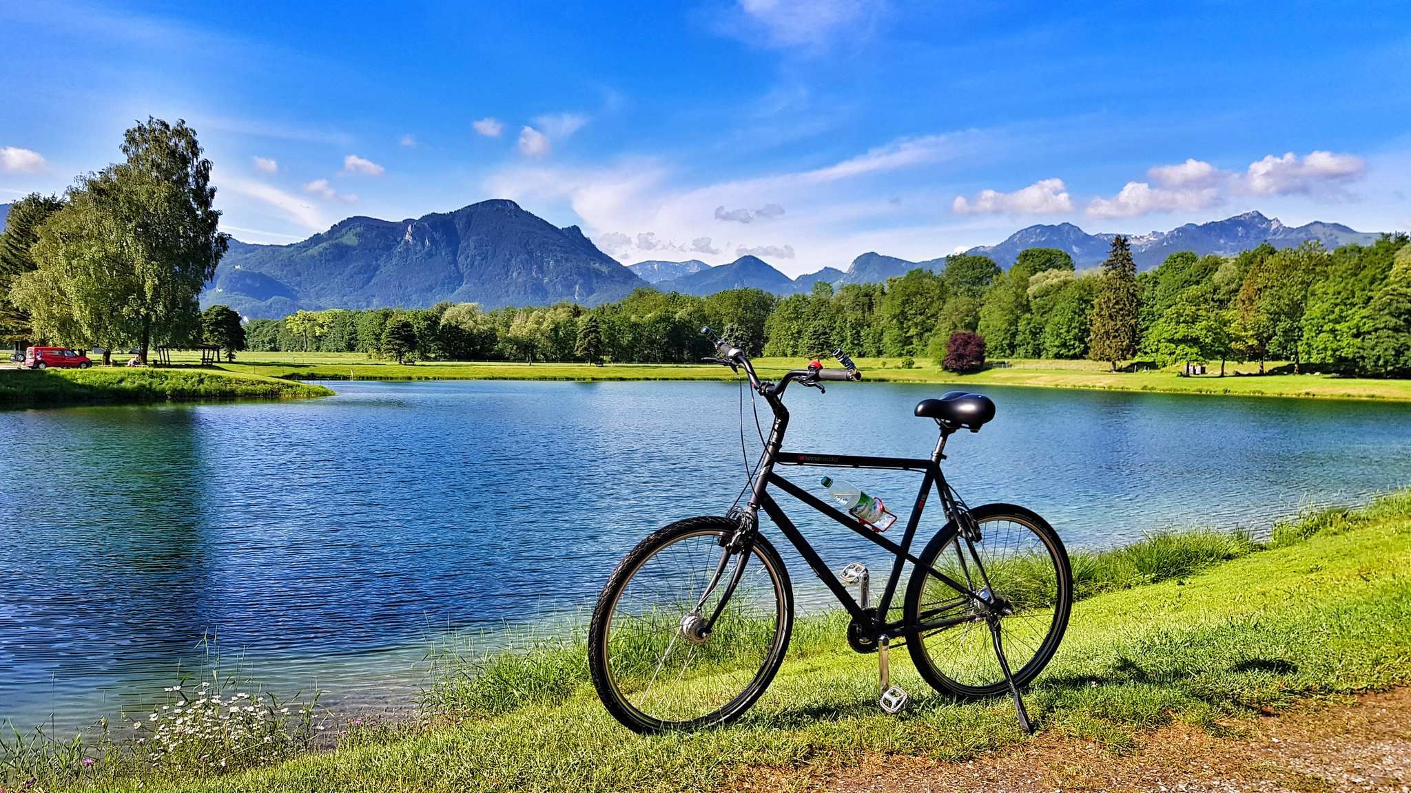
From a babbling brook to a mighty river - the Inn Cycle Path
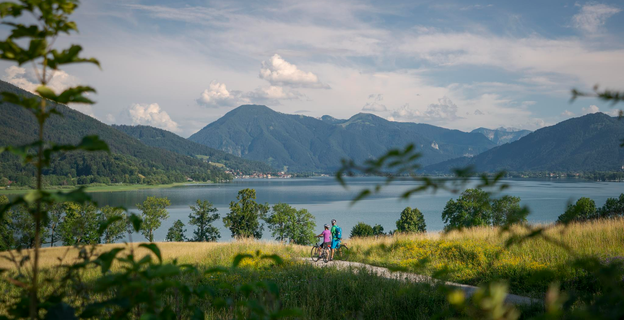
美しいアルプス横断 – ミュンヘン-ヴェネツィア長距離サイクリング・パス
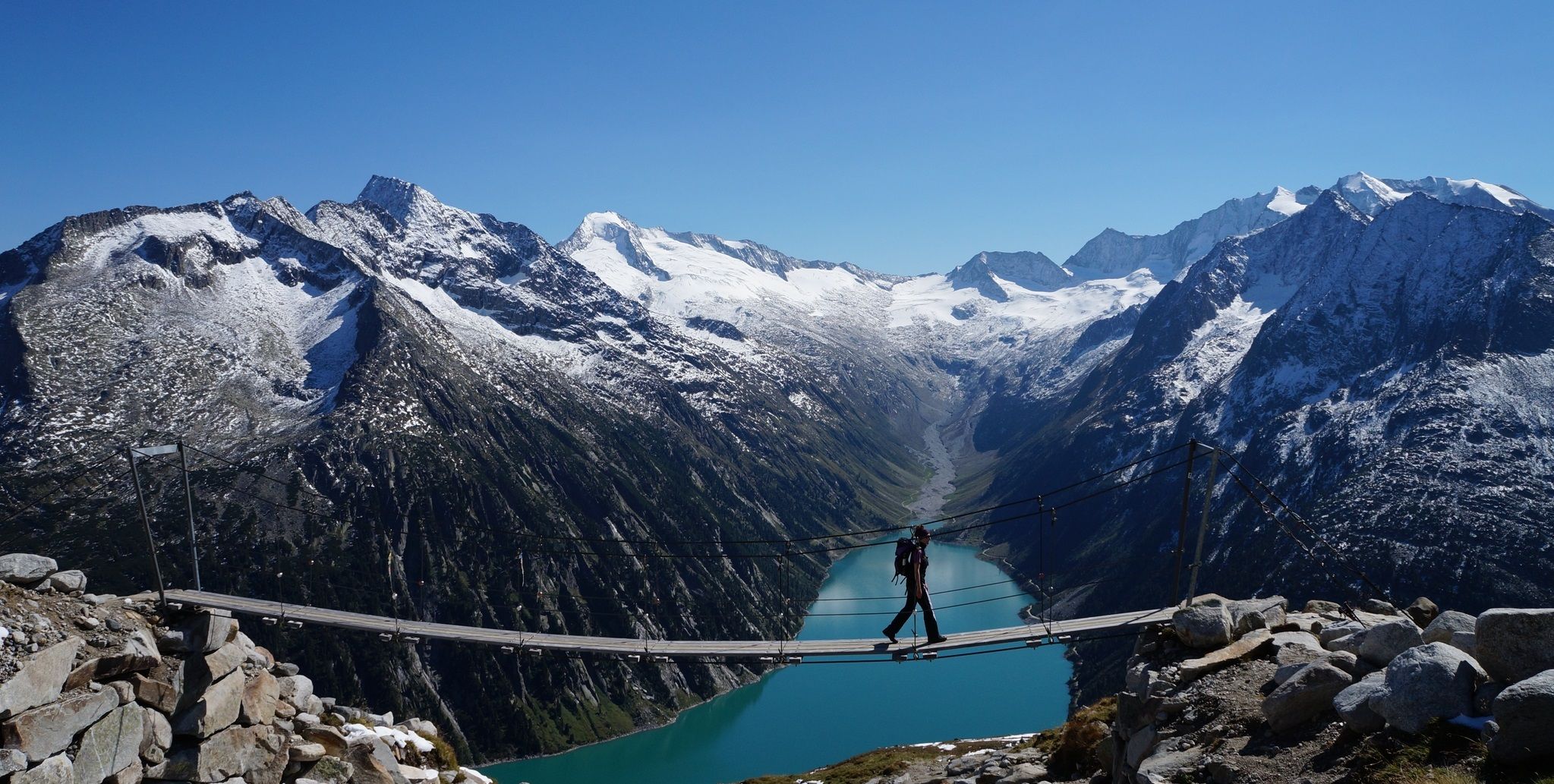
ピーター・ハベラーループ - オルペレルを囲むアルペストレイル
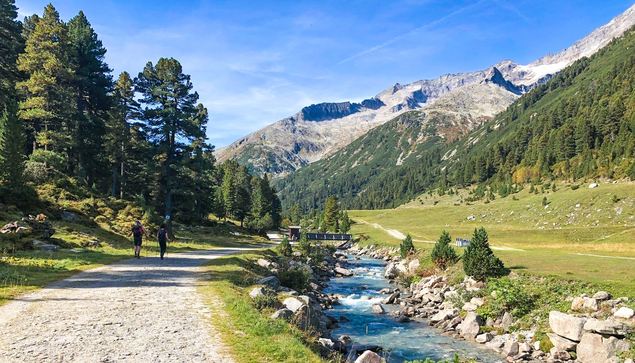
楽しみのためのアルペンクロス - テゲルンゼーからステルツィングまでの7ステージ

ミュンヘンからヴェネツィアまで28ステージの「ドリームパス」ハイキングトレイル
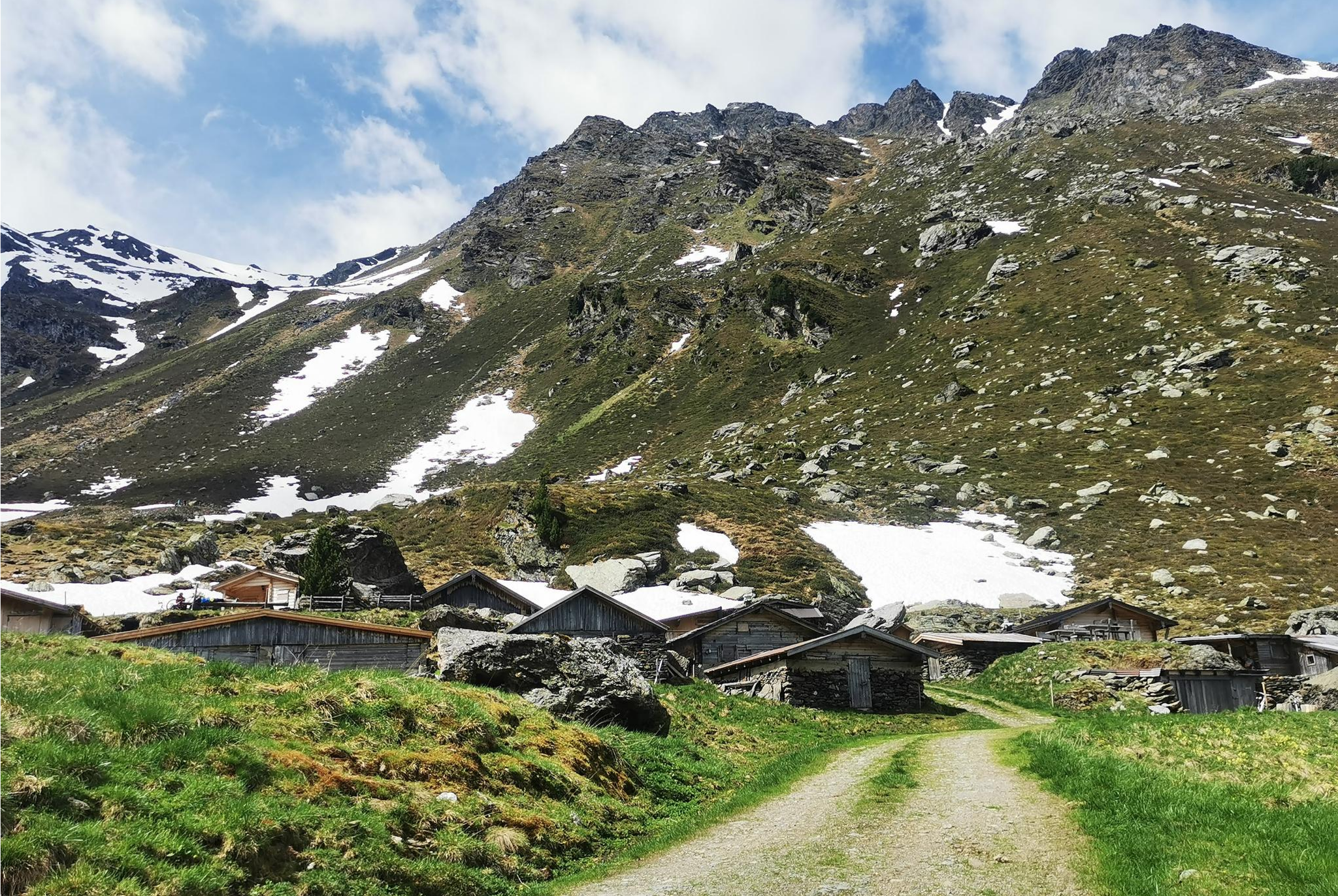
From Alm to Alm – superb hikes in the Hall-Wattens Region
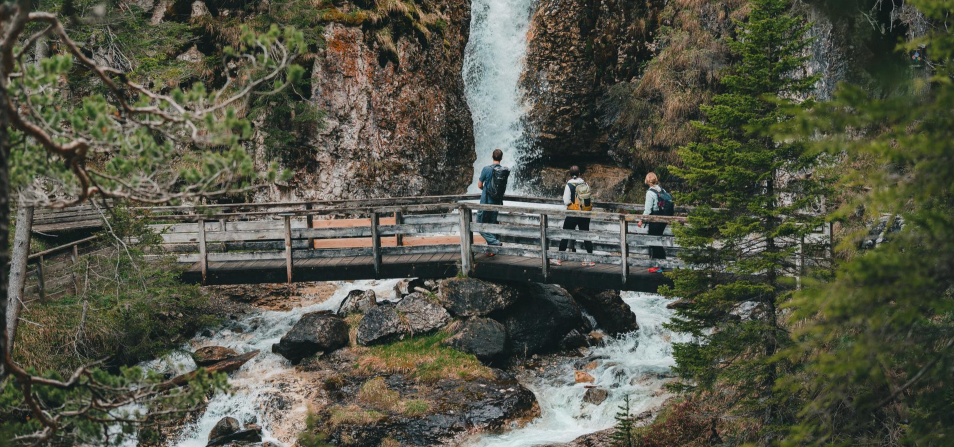
Idyllic mountain lakes and rushing waterfalls – hiking in the Wipptal
タクサーアルプスでのの他の冒険


コミュニティからのヒント

ツィラー川にかかる橋は、いくつかの点で興味深い。インスブルック-クーフシュタインとツィラータールからマイアホーフェン方面への自転車道の結節点であり、シュヴァーツとクーフシュタインの地区の境界であり、ケルシュバウマー・ザッテル自転車周回路の一部でもある。
1
0

ウィップタールを横断する新しい自転車道はまだ完全には完成しておらず、ロードバイクには準備ができていませんが、交通から離れており、非常に推奨できます!
0
0

トップ ブレンナーからシュテルツィングへの下り
0
0


The Zillertal Railway bridge also crosses the river, and the cycle path is a small gem of old railway engineering. Caution cyclists: Heading into the valley, the cycle path makes a 90° turn to the left directly at the end of the bridge, then immediately turns sharply and steeply 180° to continue under the bridge and further into the valley. So brake in time!
2
0

komootモバイルアプリでインスピレーションを得よう


さらに探索
他の地域の最高のロードサイクリングルートを見てみましょう。
