クロトーネのおすすめツーリングルート
4.4
(83)
635
ライダー
107
ライド
クロトーネでサイクリングを楽しめば、カラブリアのこのエリアをより深く知ることができます。あなたにぴったりのクロトーネでのバイクライドが見つかるように、komootがサイクリングルートのコレクション全体を評価して選び抜いたルートをご紹介します。以下のルートをクリックして標高データや舗装状態の分析などの細かな情報を把握し、さらにkomootコミュニティのメンバーがアップロードした役立つ情報や写真も閲覧しましょう。
最終更新日: 8月 30, 2026
4.5
(13)
59
ライダー
31.2km
01:55
270m
270m
Embark on a moderate touring bicycle ride along the Calabrian coast with the Capo Colonna Loop from Crotone. This 19.4-mile (31.2 km) route offers a smooth experience on mostly well-paved…
5.0
(2)
20
ライダー
72.4km
04:45
1,090m
1,090m
Embark on the Laghi Ampollino e Arvo loop tour, a challenging touring bicycle route through the stunning Sila National Park in Calabria, Italy. This difficult 45.0-mile (72.4 km) journey features…

無料新規登録
3
ライダー
29.6km
02:04
380m
380m
Embark on the Lago Ampollino – loop tour, a moderate touring bicycle route that takes you through the diverse landscapes of Sila National Park in Calabria. This 18.4-mile (29.6 km)…
5.0
(2)
11
ライダー
39.2km
02:29
360m
370m
Embark on the Capo Colonna from Isola di Capo Rizzuto loop tour for a moderate touring bicycle ride along Calabria's Ionian coast. This route spans 24.4 miles (39.2 km) with…
7
ライダー
40.7km
02:29
340m
340m
Embark on a moderate touring bicycle loop from Isola di Capo Rizzuto, covering 25.3 miles (40.7 km) with 1108 feet (338 metres) of elevation gain. This route takes you along…
5
ライダー
18.4km
01:04
70m
70m
Embark on an easy touring cycling route along the Ionian Sea coast, starting from Cirò Marina. This 11.4-mile (18.4 km) loop offers smooth riding on largely paved surfaces, taking you…
6
ライダー
56.5km
03:43
840m
840m
Embark on a difficult touring bicycle loop from Cutro, covering 35.1 miles (56.5 km) with a significant 2744 feet (836 metres) of elevation gain, typically taking 3 hours and 42…
5.0
(1)
7
ライダー
40.6km
02:43
580m
580m
Embark on a challenging touring cycling adventure with the Strongoli from Torre Melissa route. This difficult loop spans 25.2 miles (40.6 km) and features a significant elevation gain of 1906…
6
ライダー
27.9km
01:51
390m
390m
Embark on a touring cycling adventure along the Calabrian coast with the Tour of Cirò and Punta Alice Lighthouse. This moderate route spans 17.3 miles (27.9 km), guiding you through…
2
ライダー
49.8km
03:09
530m
530m
Embark on a difficult touring bicycle adventure with the Tour of Isola di Capo Rizzuto and, covering 31.0 miles (49.8 km) with a significant 1731 feet (527 metres) of elevation…
さらに多くのルートや他のユーザーのおすすめ情報を確認できます。
無料新規登録
すでにアカウントをお持ちですか?
おすすめのツアーは他のkomootユーザーが実際に経験した何千ものアクティビティに基づいています。
無料アカウントで今日から始めよう
次の冒険が待っています。
ログインまたは登録


コミュニティからのヒント

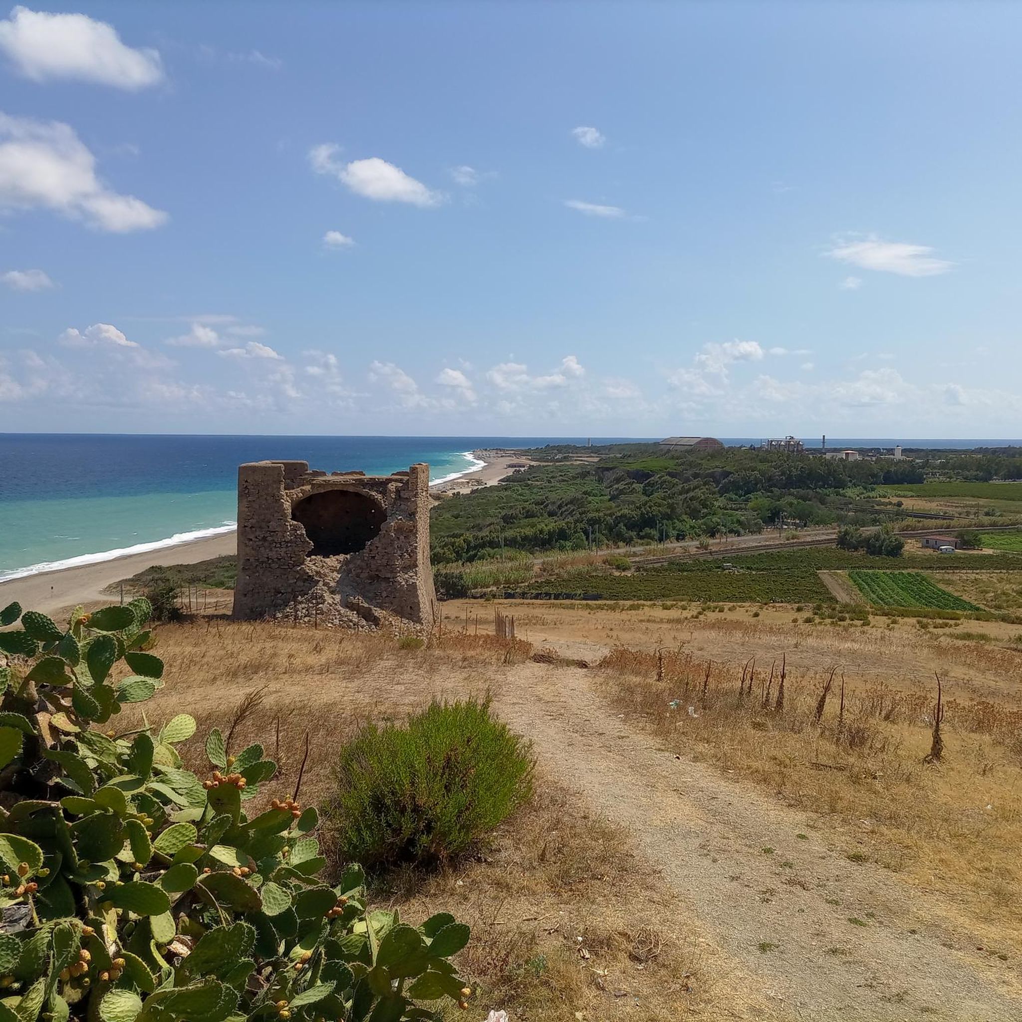
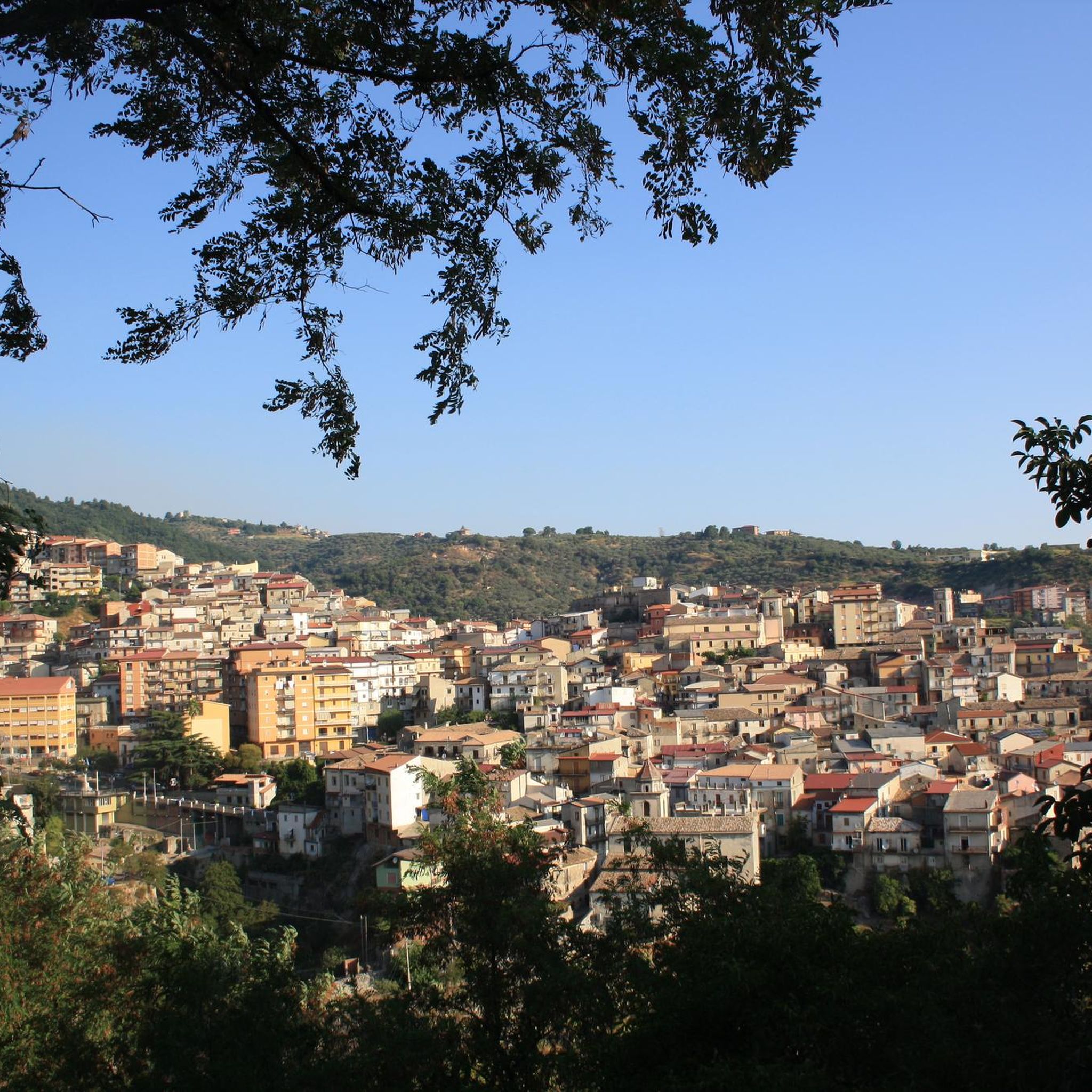
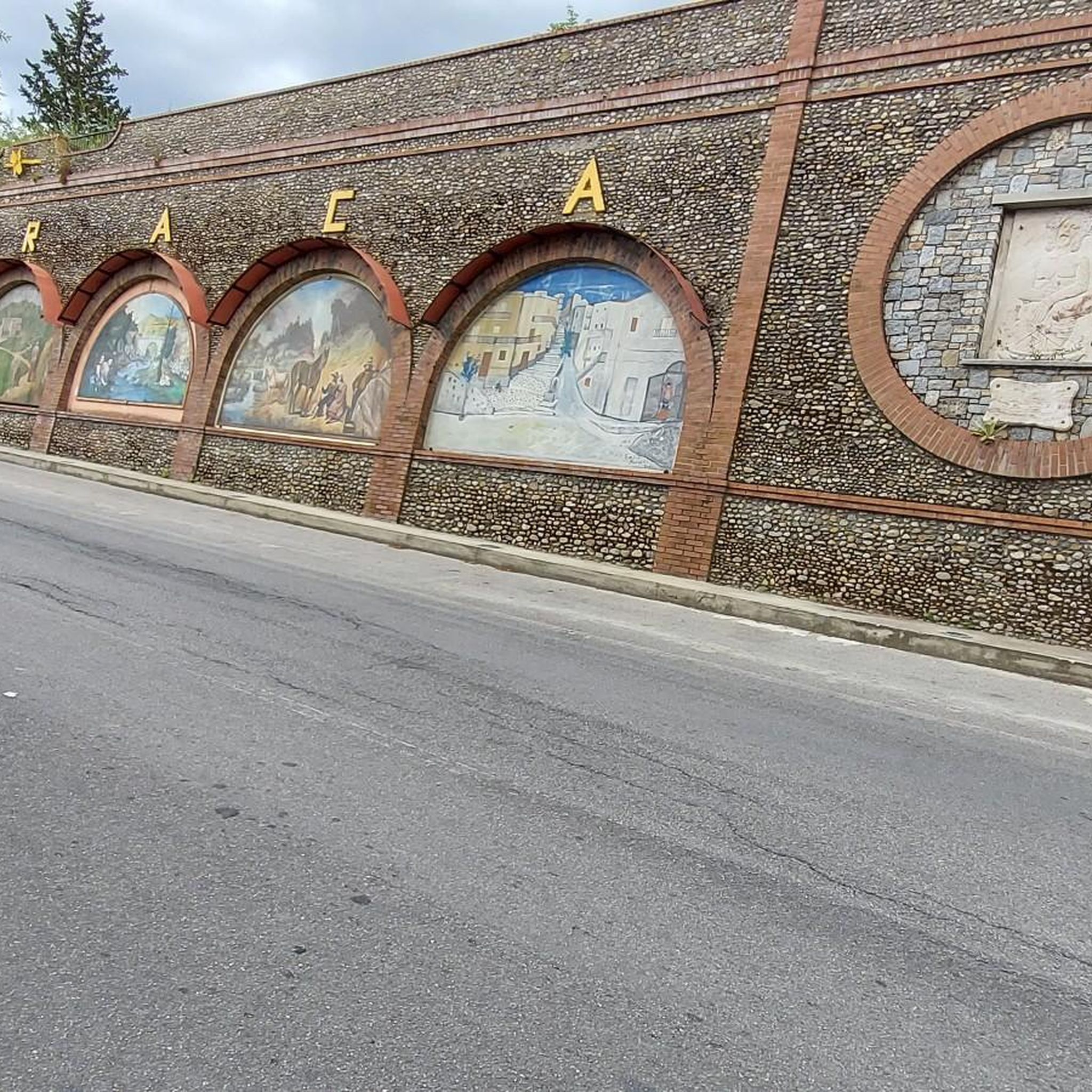
この3日間のハイキングで、STRONGLI、戦略的に互いに接続されていた古代の路地と通りを訪れました。単に天才的でした。
0
0

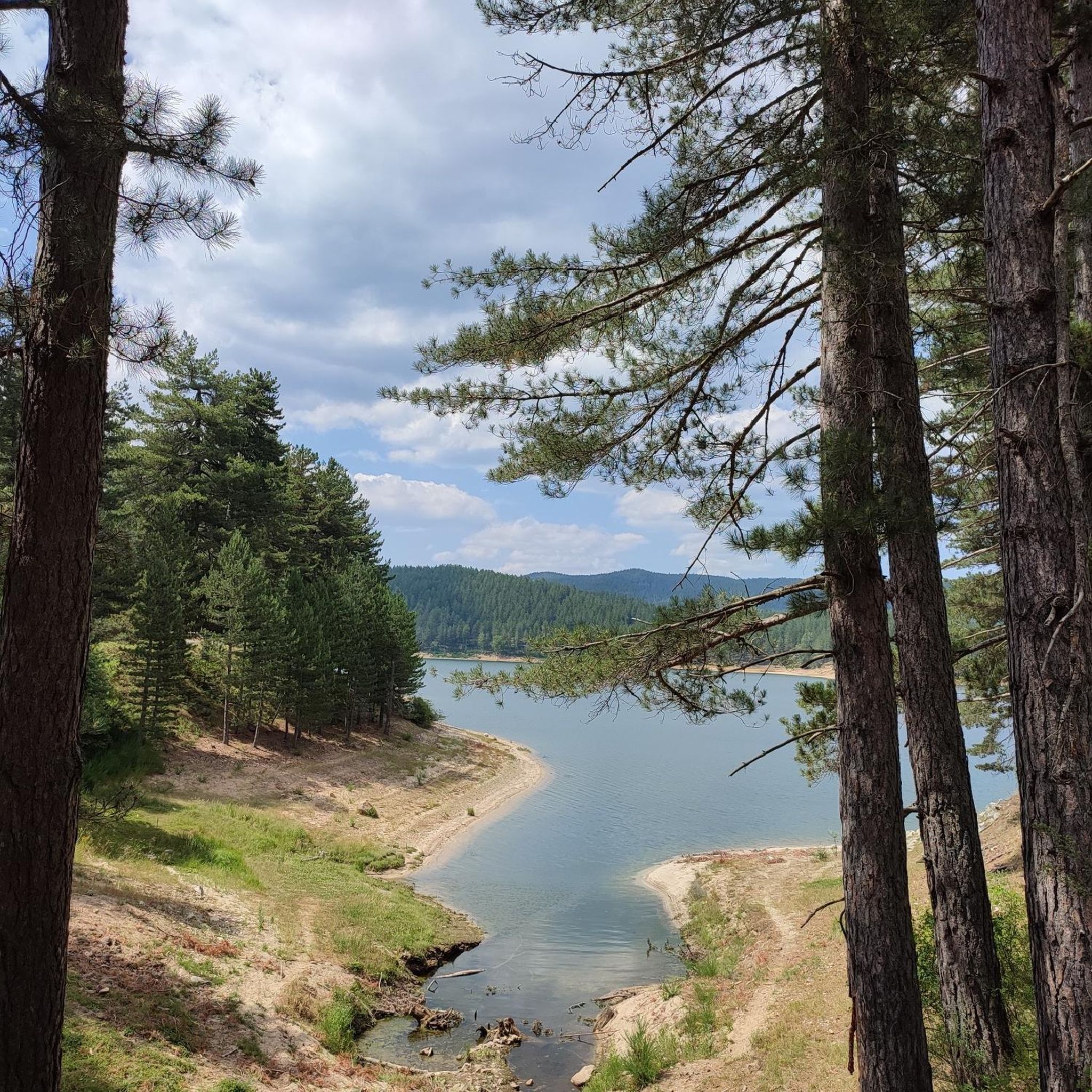
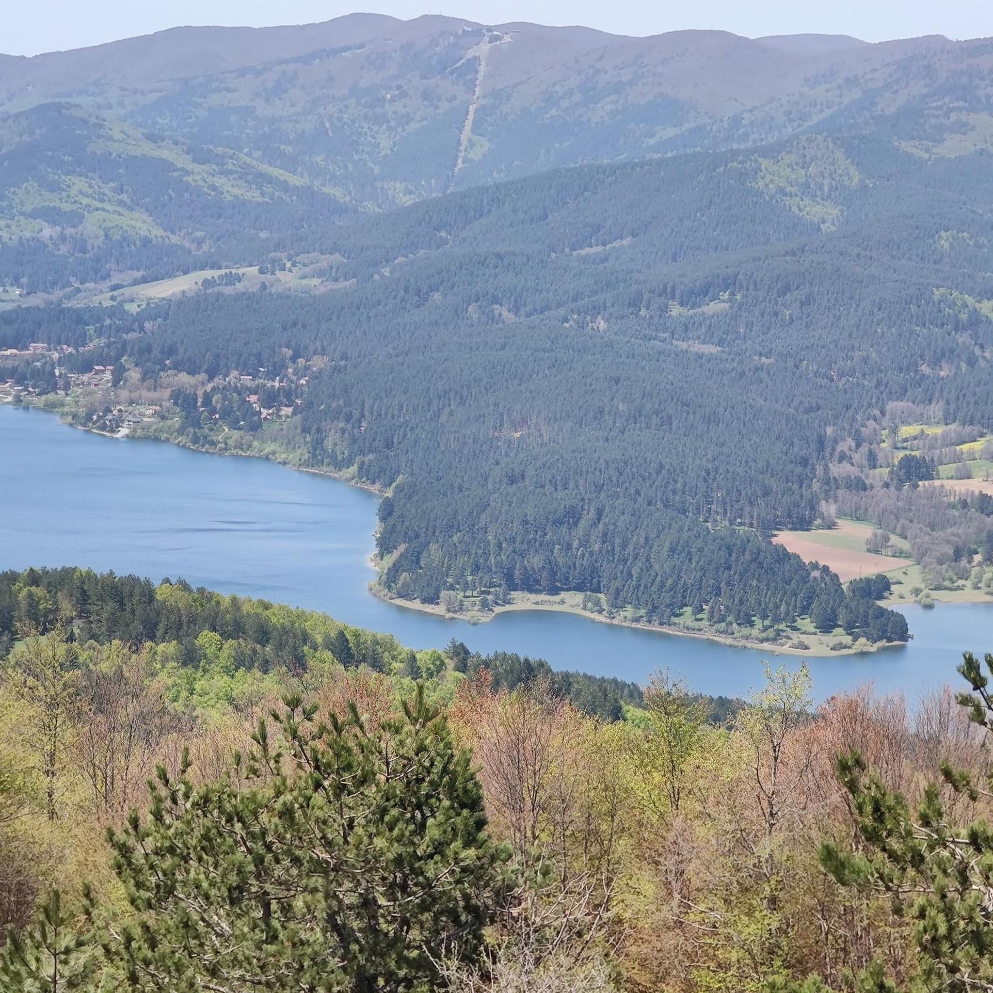
Among the three large Calabrian lakes of the Sila, the Ampollino is certainly the least contaminated and consequently the most authentic to be appreciated by lovers of nature and landscapes.
0
0

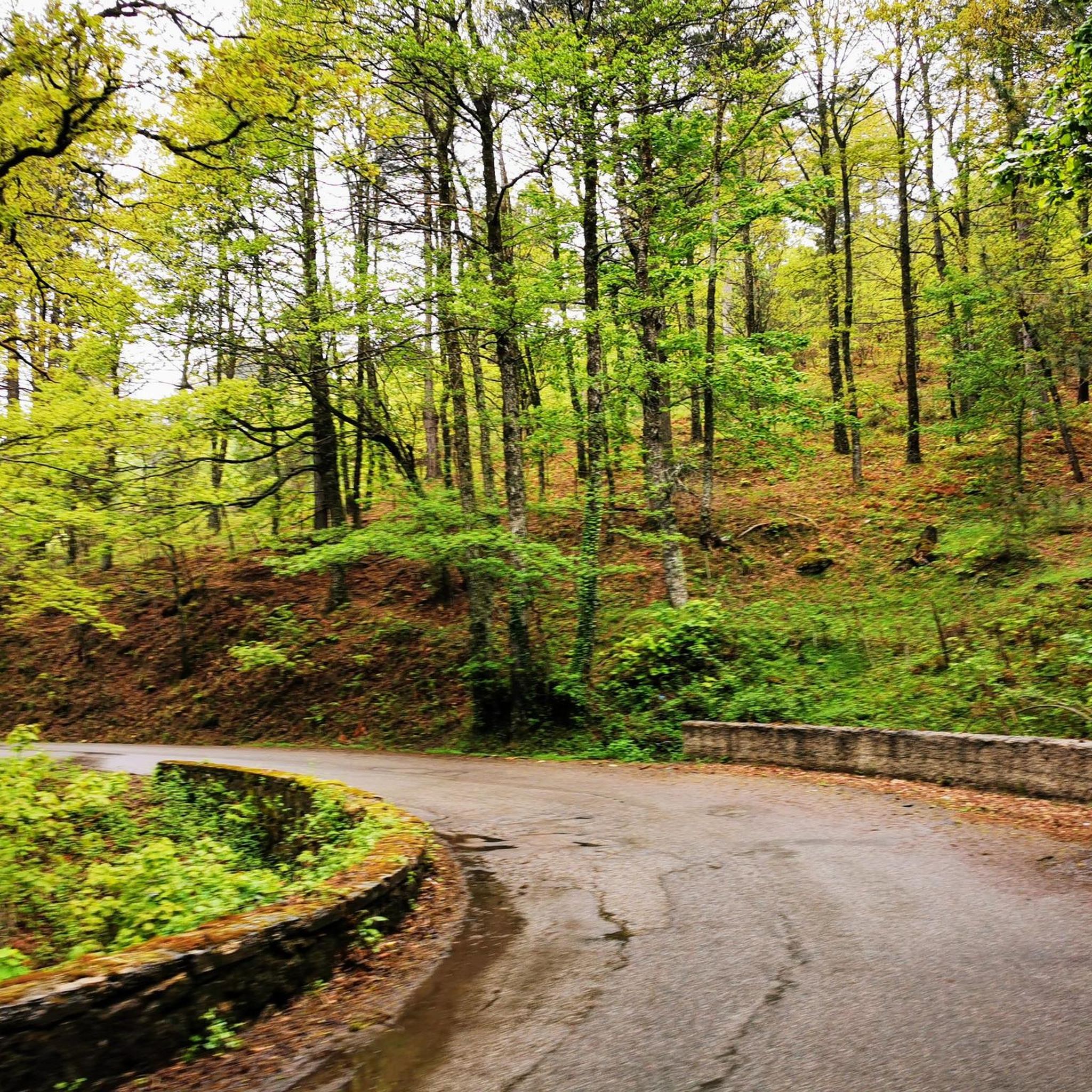
In summer, you can take advantage of numerous cycling routes that lead through diverse landscapes - from mountain spruce forests to water areas of lakes. In winter, the area is home to the Camigliatello Silano ski resort, which attracts skiing and winter sports enthusiasts with its well-prepared facilities and picturesque location in the Sila massif. This is a place more for local skiing enthusiasts and beginners who want to combine active recreation with a vacation in the warm climate of Calabria. If you are looking for more serious skiing routes, you have to go further north in Italy or to the Alps. In Calabria, on the other hand, you will certainly appreciate nature, peace and a unique mountain climate.
1
0
The Ampollino Valley is surrounded by the mountains of the Sila massif, with clearly distinguishable peaks: Scorciavuoi (1627 m above sea level), Gariglione (1623 m above sea level), Zingomarro (1463 m above sea level) and Monte Nero (1747 m above sea level). There are extensive pine, beech and fir forests here, creating a Mediterranean mountain landscape characteristic of the region. The central element of the valley is the artificial reservoir Lago Ampollino, created by a dam (diga) on the Ampollino River. The shores of the lake are overgrown with reed beds and water lilies, and in the area you can see wild animals - deer, wild boars, waterfowl and birds of prey.
1
0
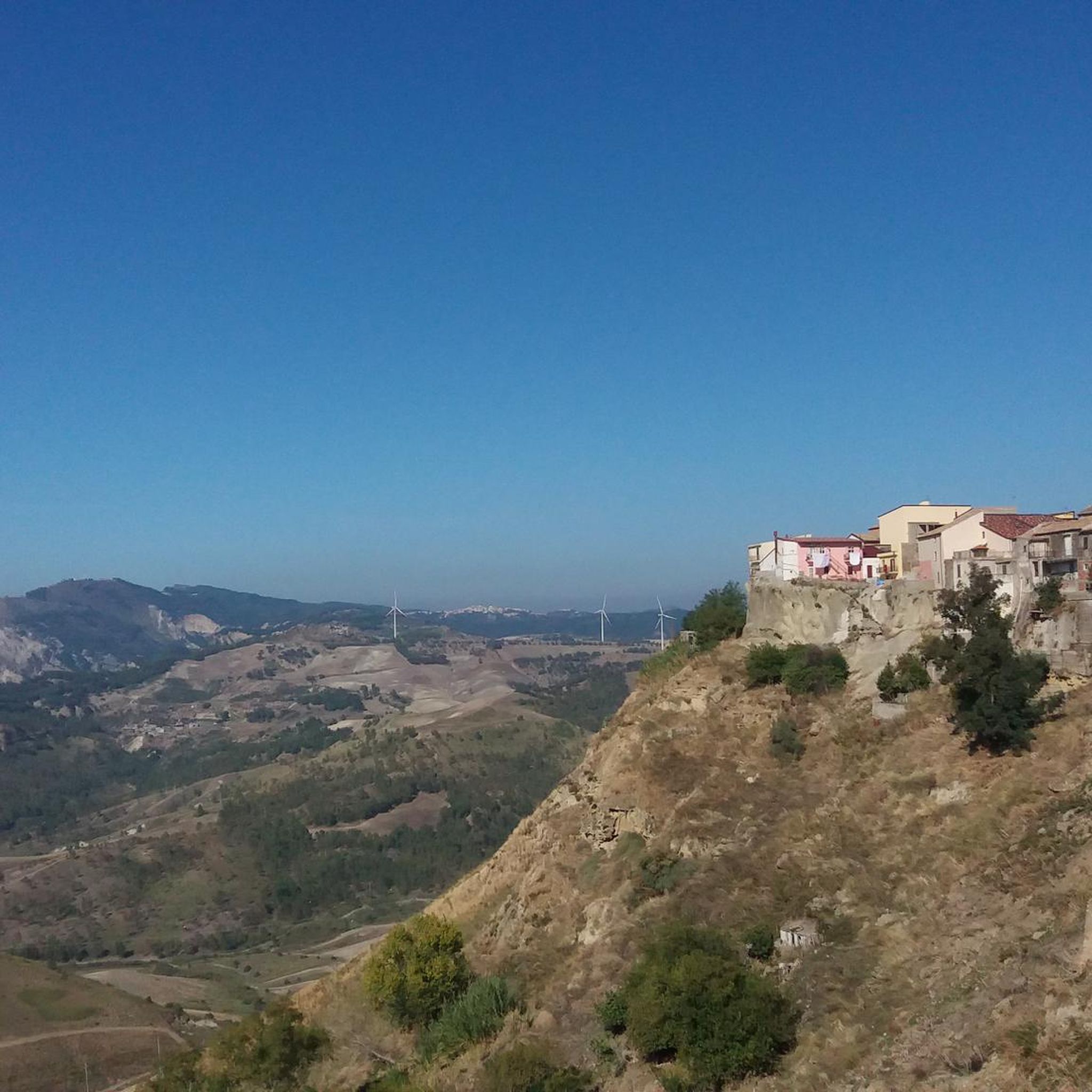
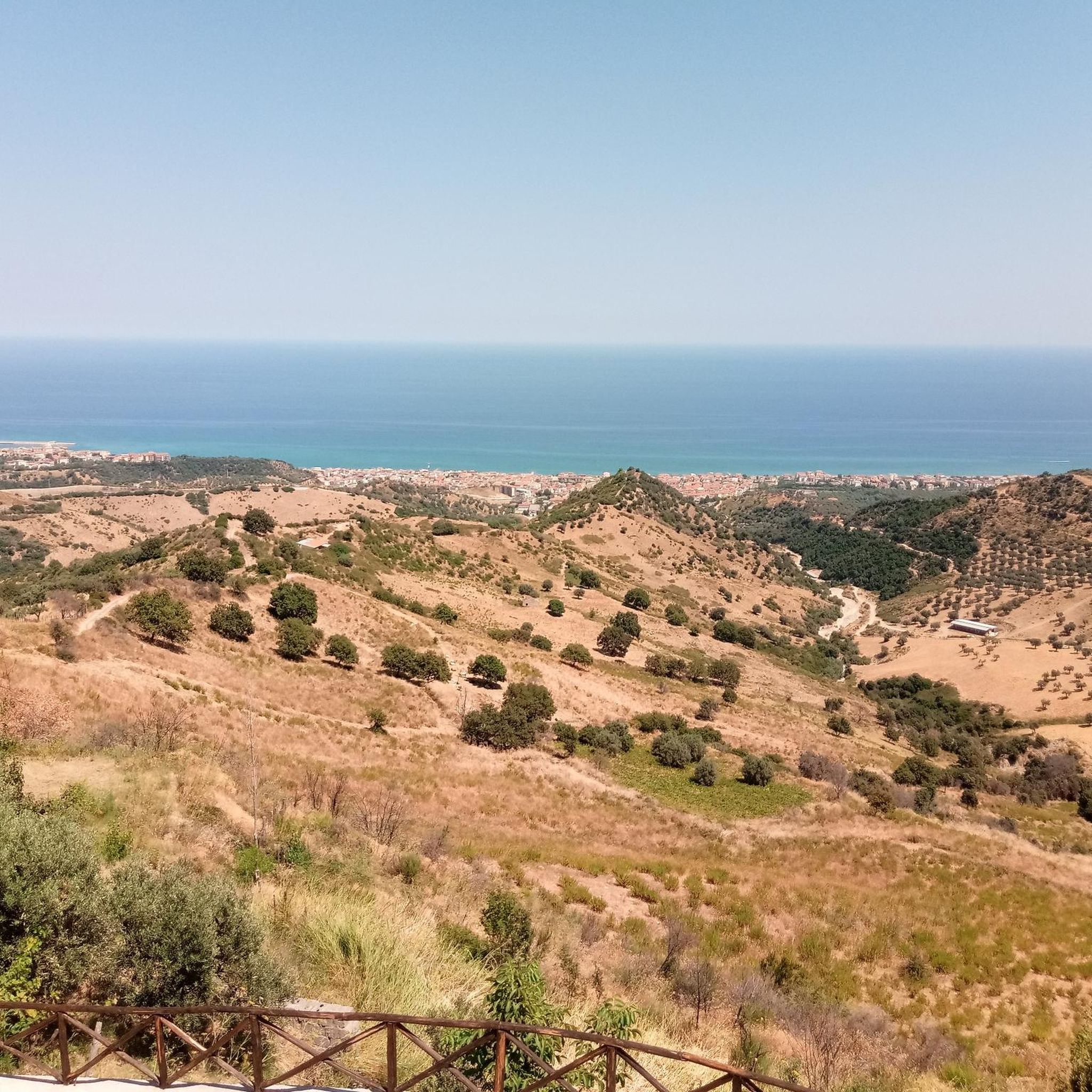
A city difficult to reach, but the place is worth the effort. A seafront like few in Italy, traditions and simplicity.
0
0


Starting point for many adventures, not only by bike
1
0

Tourist resort with its beautiful lake in the Sila national park. Not to be missed
0
0
クロトーネでのの人気観光スポット

komootモバイルアプリでインスピレーションを得よう


探していたものは見つかりませんでしたか?
クロトーネの下にある他のサイクリングルートをチェックして、目的地で完璧なルートを見つけましょう。
さらに探索
他の地域の最高のサイクリングルートを見てみましょう。
