ビュート郡のおすすめツーリングルート
4.4
(13)
208
ライダー
32
ライド
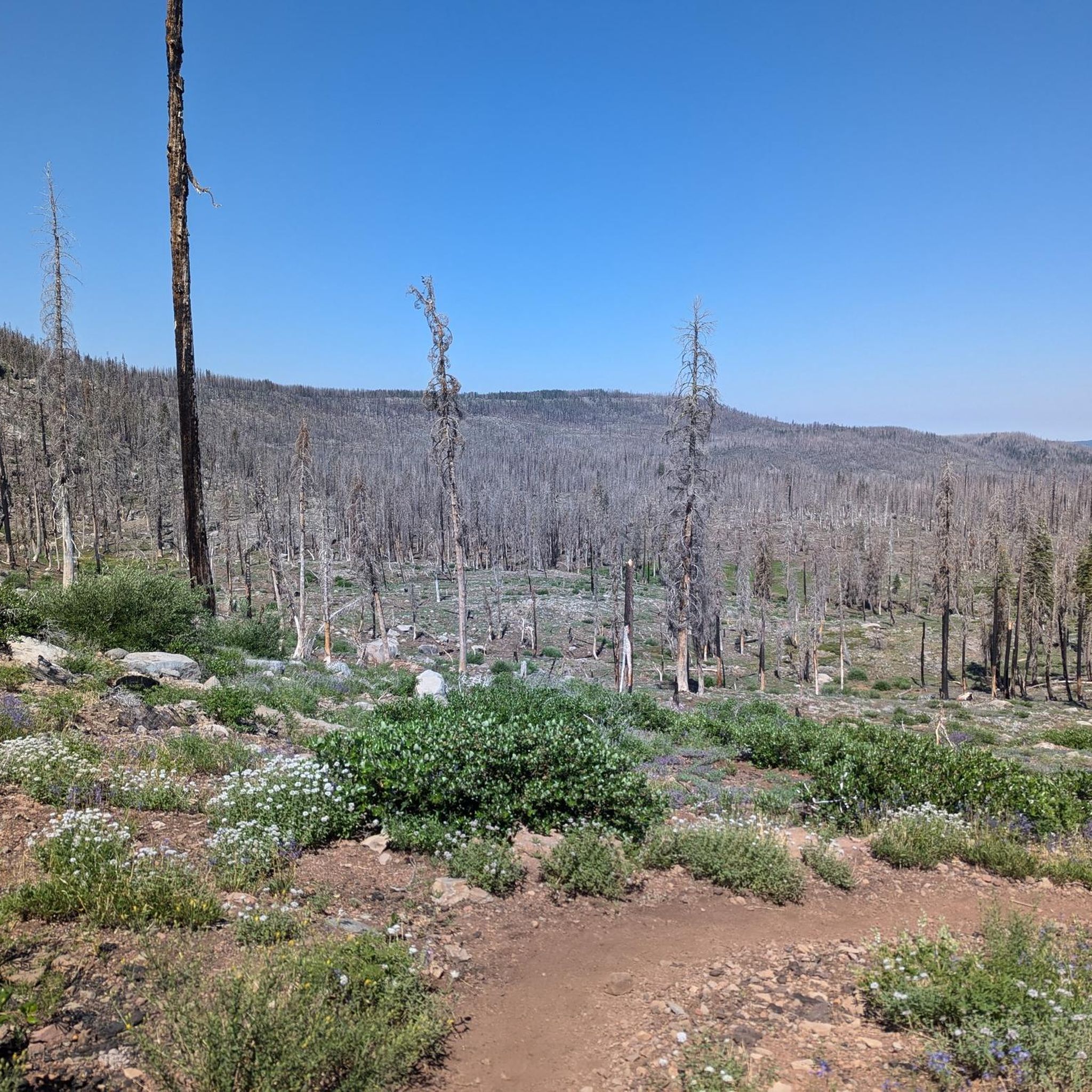
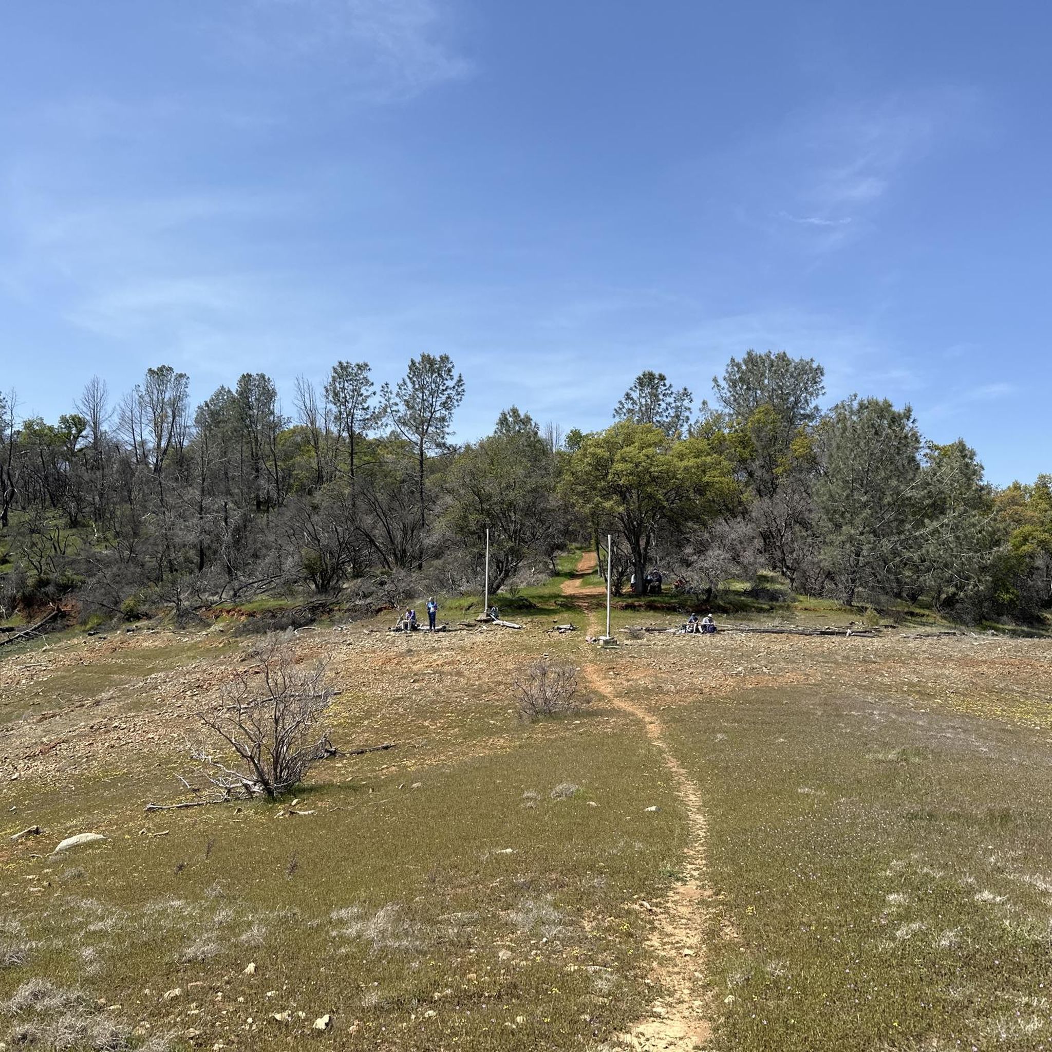
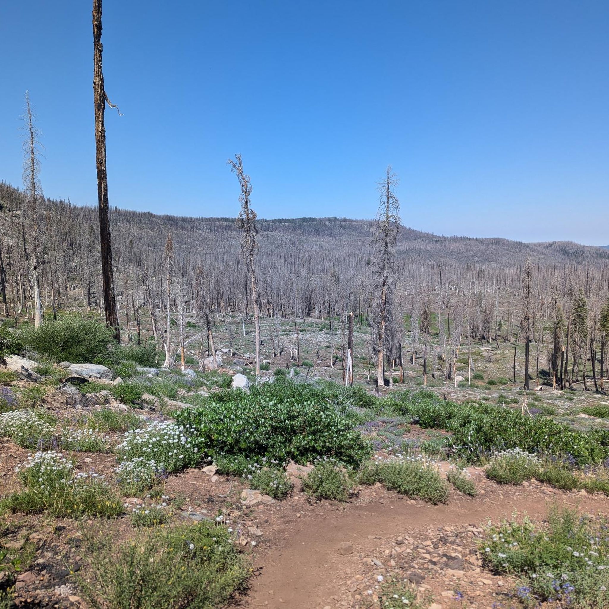
Butte Countyでのサイクリングツアーは、サクラメントバレーの平坦な土地からシエラネバダ山脈の丘陵地帯へと移り変わる、多様な景観を提供します。この地域には、川沿いのトレイルや森林地帯を通るトレイルを含む、舗装路と未舗装路が混在しています。サイクリストは、穏やかな道から急な勾配のある挑戦的なルートまで、さまざまな地形を探索できます。この地理的な多様性は、さまざまなライディングの好みやフィットネスレベルに対応するオプションを提供します。
Butte Countyの最高のサイクリングツアーコース
- 最も人気のあるサイクリングツアーコースは、チコ発の Bidwell Park – Big Chico Creek Canyon loop です。このコースは16.3 km (10.1マイル)で、所要時間は58分です。このイージーコースは、舗装された木陰のある区間があり、リラックスしたライドに適しています。
- 地元のサイクリストに人気のもう一つのコースは、チコ発の Bidwell Park – North rim trail entrance loop です。これは49.2 km (30.6マイル)の難易度の高いルートです。このコースは、さまざまな路面とかなりの標高差を伴うチコキャニオンエリアの景色を楽しめます。
- 地元のサイクリストに愛されているのは、チコ発の South Rim Trail – Annie Bidwell Trail loop です。この28.3 km (17.6マイル)のコースは、火山性の地形を通り抜け、キャニオンの景色を眺めることができ、所要時間は約2時間36分です。
- Butte Countyでのサイクリングツアーは、平坦な谷底、険しいキャニオンの登り、そして河畔のエリアが特徴です。このネットワークは、簡単な舗装路から急な勾配のある挑戦的なルートまで、さまざまなレベルのサイクリストに対応するオプションを提供します。
- Butte Countyのコースは、komootコミュニティから高く評価されており、17件以上のレビューで平均4.5つ星を獲得しています。170人以上のサイクリストがkomootを利用して、Butte Countyの多様な地形を探索しています。
最終更新日: 9月 4, 2026
4.0
(1)
33
ライダー
初級者向けバイクライド. あらゆるフィットネスレベルに適しています。 全般的に舗装された状態です。あらゆるスキルレベルに適しています。
4.5
(2)
23
ライダー
21.0km
01:18
60m
60m
初級者向けバイクライド. あらゆるフィットネスレベルに適しています。 全般的に舗装された状態です。あらゆるスキルレベルに適しています。

無料新規登録
19
ライダー
19.0km
01:10
30m
30m
初級者向けバイクライド. あらゆるフィットネスレベルに適しています。 全般的に舗装された状態です。あらゆるスキルレベルに適しています。
10
ライダー
31.1km
02:45
470m
470m
難しい自転車ライド. 標準以上のフィットネスレベルが必要です。 全般的に舗装された状態です。あらゆるスキルレベルに適しています。
9
ライダー
34.8km
01:59
40m
40m
初級者向けバイクライド. あらゆるフィットネスレベルに適しています。 全般的に舗装された状態です。あらゆるスキルレベルに適しています。
10
ライダー
19.9km
01:31
110m
110m
初級者向けバイクライド. あらゆるフィットネスレベルに適しています。 全般的に舗装された状態です。あらゆるスキルレベルに適しています。
10
ライダー
28.3km
02:35
490m
490m
難しい自転車ライド. 標準以上のフィットネスレベルが必要です。 全般的に舗装された状態です。あらゆるスキルレベルに適しています。
8
ライダー
初級者向けバイクライド. あらゆるフィットネスレベルに適しています。 全般的に舗装された状態です。あらゆるスキルレベルに適しています。
8
ライダー
9.38km
00:33
20m
20m
初級者向けバイクライド. あらゆるフィットネスレベルに適しています。 全般的に舗装された状態です。あらゆるスキルレベルに適しています。
6
ライダー
23.9km
01:43
50m
50m
初級者向けバイクライド. あらゆるフィットネスレベルに適しています。 全般的に舗装された状態です。あらゆるスキルレベルに適しています。
さらに多くのルートや他のユーザーのおすすめ情報を確認できます。
無料新規登録
すでにアカウントをお持ちですか?
おすすめのツアーは他のkomootユーザーが実際に経験した何千ものアクティビティに基づいています。



コミュニティからのヒント

There are some trees right here that drop big round seed pods during certainly seasons, and they can be hazardous for bicycle handling.
1
0
The new Esplanade Bike Path ends here as of 1/25/2025. Construction will continue and complete the path up to the Airport Bike Path at a later date. Take care while riding on the path during certain seasons, as big round tree seed pods on the ground can be hazardous for bicycle handling.
1
0
when approaching the roundabout, if you wish to use protected intersection design, turn right into the inlet before the junction, then use the crosswalks as needed.
1
0

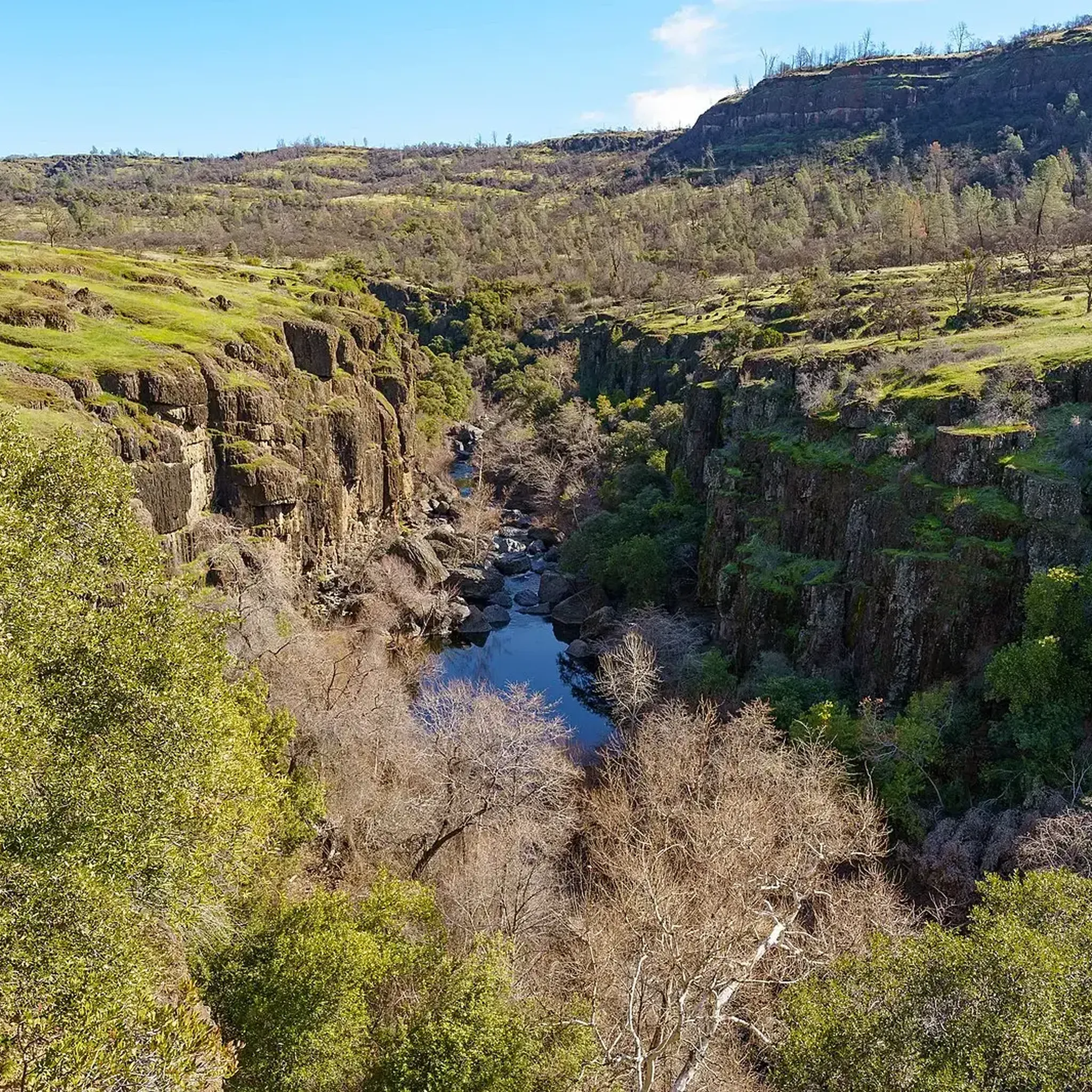
The South Rim Trail is a lovely combination of dirt and gravel, boasting spectacular views of Chico Canyon. Portions of the trail run alongside the river, creating a soothing backdrop as you immerse yourself in the scenery. This trail is popular with runners and mountain bikers, so keep an eye out as you enjoy exploring this beautiful trail.
0
0
This junction offers several options to continue exploring the park. From here, you can take the Yahi Trail to extend your hike and connect with other trails, head southwest to complete a loop, or go northeast and take a swim in Bear Hole, just a short .3-mile detour.
0
0
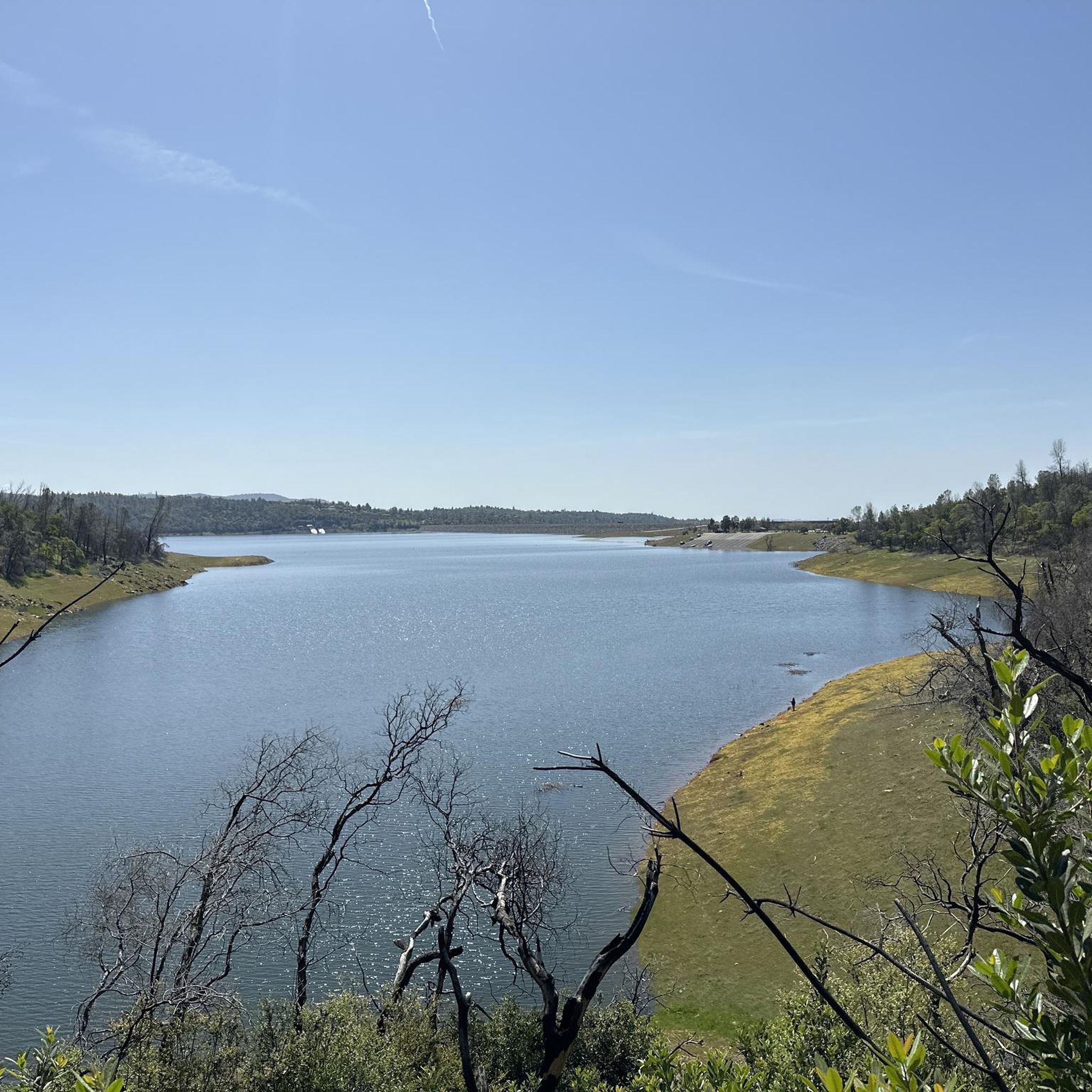
The North Rim Trail is one of the longest trails in the park and connects to several other trails for multiple options to explore, although it is fantastic on its own as an out-and-back. The path provides stunning views of the park from different angles as it follows its edge and gains elevation. At the trail's end, there's a rocky lookout point with spectacular views of Horseshoe Lake and the distant Sutter Buttes, perfect for a stop to take in the beautiful scenery.
0
0
This multi-use trail runs along Big Chico Creek, boasting stunning canyon views and spectacular wildflowers, especially in spring. There is plenty of shade along the way, making it an ideal choice for hot days. It is a popular path for hikers, mountain bikers, and runners alike, so you'll likely see plenty of others enjoying this scenic path.
0
0
This gravel road runs through the park and provides access to several trails in the park. You can walk along this road and enjoy the scenery, or take a side trail to loop back around. Several parking areas are located along this stretch, making access convenient for enjoying the park.
0
0
ビュート郡の人気観光スポット

komootモバイルアプリでインスピレーションを得よう


探していたものは見つかりませんでしたか?
ビュート郡の下にある他のサイクリングルートをチェックして、目的地で完璧なルートを見つけましょう。
さらに探索
他の地域の最高のサイクリングルートを見てみましょう。
