セントルイス郡のおすすめランニングルート
5.0
(5)
1,177
ランナー
90
ランニング
セントルイス郡でランニングを楽しめば、このエリアをより深く知ることができます。ランニングに適した美しいルートが見つかるように、komootがセントルイス郡でのルートのコレクション全体を評価して選び抜いた、人気ランニングトレイルをご紹介します。ルートをクリックして詳細を表示し、他のユーザーがアップロードした役立つ情報や写真を閲覧しましょう。
最終更新日: 8月 31, 2026
4
ランナー
9.24km
01:08
80m
80m
Jog the moderate 5.7-mile Bass and Dry Lake Loop in Superior National Forest, featuring lakes, forests, and Dry Falls.
1
ランナー
8.42km
00:53
70m
70m
Jog the 5.2-mile Knife River Hiking Trail, a moderate route through forests with views of Lake Superior and the Knife River.

240
ランナー
70.3km
07:22
400m
400m
難しいジョギング. 標準以上のフィットネスレベルが必要です。 全般的に舗装された状態です。あらゆるスキルレベルに適しています。
77
ランナー
7.57km
00:50
30m
30m
中程度のジョギング. ある程度のフィットネスレベルが必要です。 全般的に舗装された状態です。あらゆるスキルレベルに適しています。
56
ランナー
6.25km
00:41
60m
60m
中程度のジョギング. ある程度のフィットネスレベルが必要です。 全般的に舗装された状態です。あらゆるスキルレベルに適しています。
42
ランナー
15.4km
01:38
70m
70m
難しいジョギング. 標準以上のフィットネスレベルが必要です。 全般的に舗装された状態です。あらゆるスキルレベルに適しています。
47
ランナー
8.69km
00:57
60m
50m
中程度のジョギング. ある程度のフィットネスレベルが必要です。 全般的に舗装された状態です。あらゆるスキルレベルに適しています。
24
ランナー
61.1km
07:40
1,330m
1,330m
This ambitious jogging route, the Ely's Peak – Enger Tower loop from Norton Park, offers a grand tour of Duluth's varied landscapes, from dense forests to panoramic overlooks. You'll navigate…
23
ランナー
5.07km
00:33
10m
10m
中程度のジョギング. ある程度のフィットネスレベルが必要です。 全般的に舗装された状態です。あらゆるスキルレベルに適しています。
20
ランナー
11.8km
01:21
160m
160m
中程度のジョギング. ある程度のフィットネスレベルが必要です。 全般的に舗装された状態です。あらゆるスキルレベルに適しています。
さらに多くのルートや他のユーザーのおすすめ情報を確認できます。
すでにアカウントをお持ちですか?
おすすめのツアーは他のkomootユーザーが実際に経験した何千ものアクティビティに基づいています。
無料アカウントで今日から始めよう
次の冒険が待っています。







コミュニティからのヒント

This is an unpaved section of East Skyline Parkway/Scenic Skyline Parkway. In dry conditions it should be all right for most tires, excepting the skinniest road tires, but you always have the option of detouring along the Duluth-Superior Metropolitan Bike Route, to the south.
0
0

Seven Bridges Road in Duluth, Minnesota, is a scenic stretch of road located in the eastern part of the city, leading into the Amity Creek area. The road is named for its seven unique, historic stone bridges, each crafted from local materials. These bridges span Amity Creek, offering stunning views of waterfalls, forests, and the surrounding hills. This winding road is a popular destination year round, but is especially popular in the autumn, when the area becomes a vibrant display of fall colors. In the winter from November to May, the road is closed to cars, making it a cool (sometimes literally!) spot to ride for adventurous cyclists.
0
0
Seven Bridges Road in Duluth, Minnesota, is a scenic stretch of road located in the eastern part of the city, leading into the Amity Creek area. The road is named for its seven unique, historic stone bridges, each crafted from local materials. These bridges span Amity Creek, offering stunning views of waterfalls, forests, and the surrounding hills. This winding road is a popular destination year round, but is especially popular in the autumn, when the area becomes a vibrant display of fall colors. In the winter from November to May, the road is closed to cars, making it a cool (sometimes literally!) spot to ride for adventurous cyclists.
2
0

This beautiful paved multi-use path takes you along the westernmost shore of the great lakes. You pass through Leif Erikson Park and the Duluth Rose Garden as Lake Superior unfolds next to you. This is a great short, scenic trail.
0
0

There is a park right at the trailhead with a playground, picnic shelter, and plenty of picnic tables and benches along the stream.
1
0


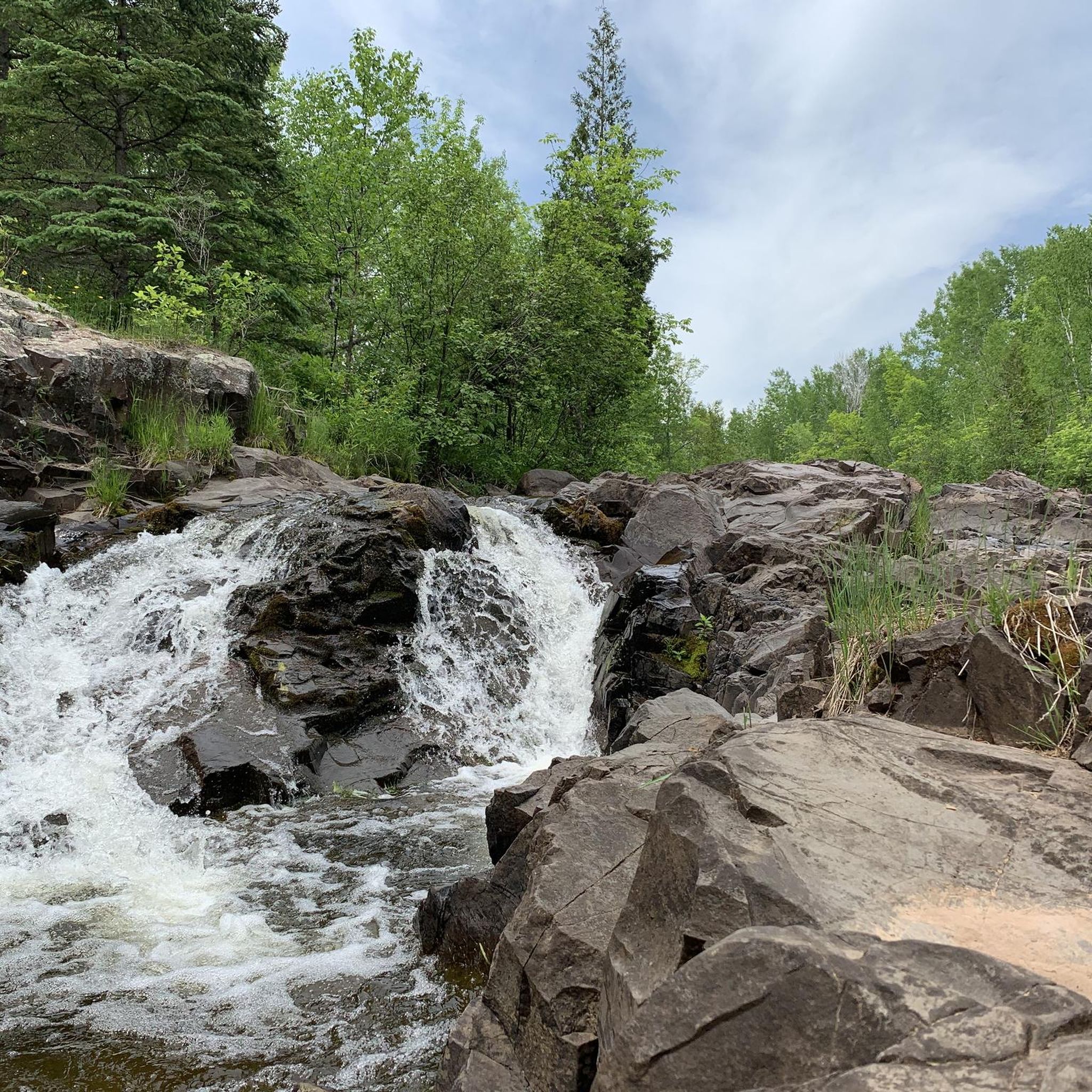
Dry Falls is formed by a small stream flowing from Dry Lake into Bass Lake. Beautiful spot to stop and have a look out over Bass Lake.
0
0

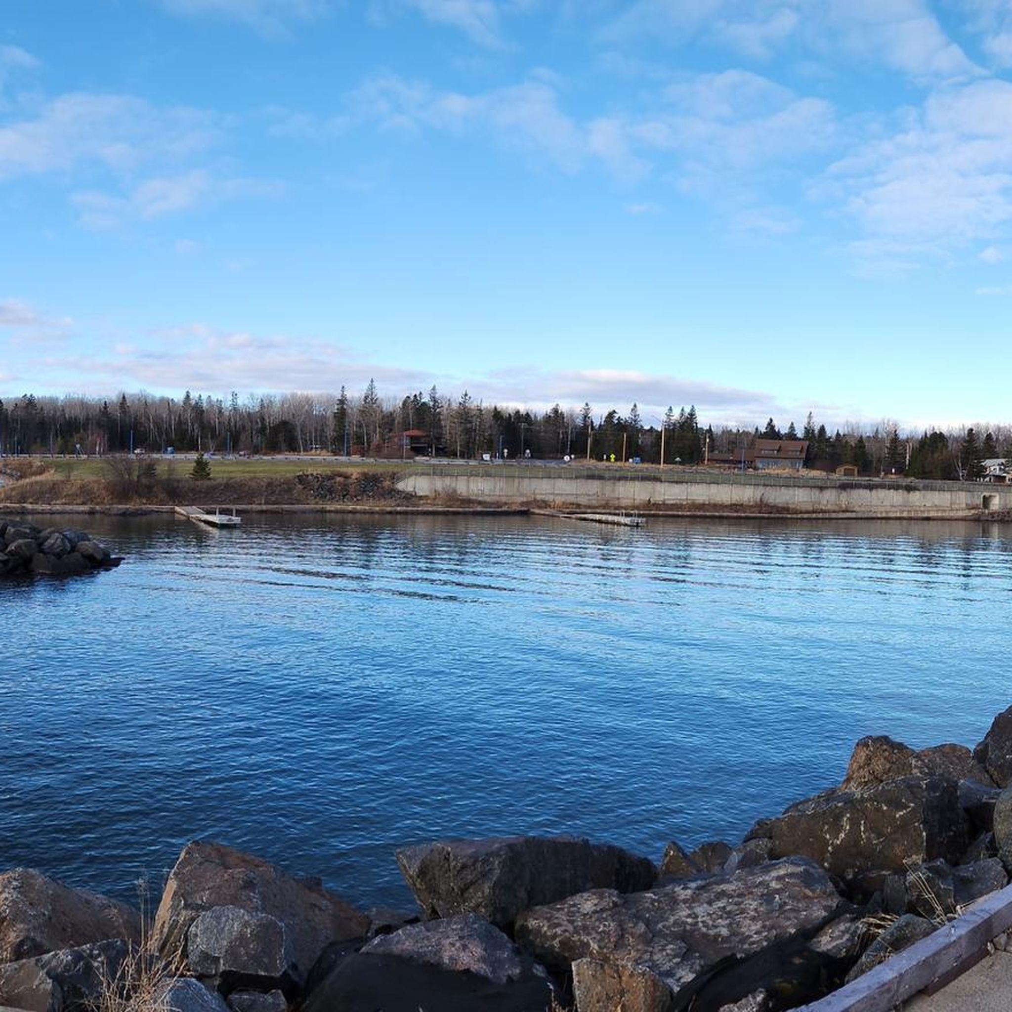
The mouth of the Knife River as it joins Lake Superior. Remnants of its industrial past, using the passage ways afforded by the waterways. Great views of the lake.
0
0
セントルイス郡の人気観光スポット

komootモバイルアプリでインスピレーションを得よう


探していたものは見つかりませんでしたか?
セントルイス郡の下にある他のランニングトレイル & ルートをチェックして、目的地で完璧なルートを見つけましょう。
さらに探索
他の地域の最高のランニングトレイル & ルートを見てみましょう。
