ヒンズデール郡周辺のアトラクション&必見スポット - トップ20
ヒンズデール郡には必見のスポットがたくさんあります。ハイキング愛好家やサイクリング愛好家の方は、ぜひヒンズデール郡を探索してこのエリアにある20
の隠れたスポットを訪れてみてください。このエリアの必見スポットを確認し、次の冒険に出かける計画を立てましょう。
最終更新日: 9月 1, 2026
ハンディーズ・ピーク
ハイライト • 山頂
役立つ情報 は

コロラド・トレイルの最高地点
ハイライト • 山頂
役立つ情報 は
今すぐサインアップして、こんな場所を発見しよう
最高のシングルトラック、ピーク、その他のエキサイティングなアウトドアスポットのおすすめを受け取ろう。
無料新規登録
サンシャイン・ピーク
ハイライト • 山頂
役立つ情報 は

シナモン・パス
ハイライト • 山道
役立つ情報 は
湖とキャンプ場
ハイライト • 湖
役立つ情報 は
スプリング・クリーク・パス
ハイライト • 山道
役立つ情報 は

Cataract Lake
ハイライト • 湖
役立つ情報 は

カーソン・サドル
ハイライト • 山道
役立つ情報 は
スラムガリオン峠の登り
ハイライト (セグメント) • 登山
役立つ情報 は

アメリカンベイスン・トレイルヘッド/ハンディーズ・ピーク
ハイライト • トレイル
役立つ情報 は
無料でサインアップして、さらに多くの観光スポットを発見しましょう ヒンズデール郡。
無料新規登録
すでにアカウントをお持ちですか?
無料アカウントで今日から始めよう
次の冒険が待っています。
ログインまたは登録




コミュニティからのヒント

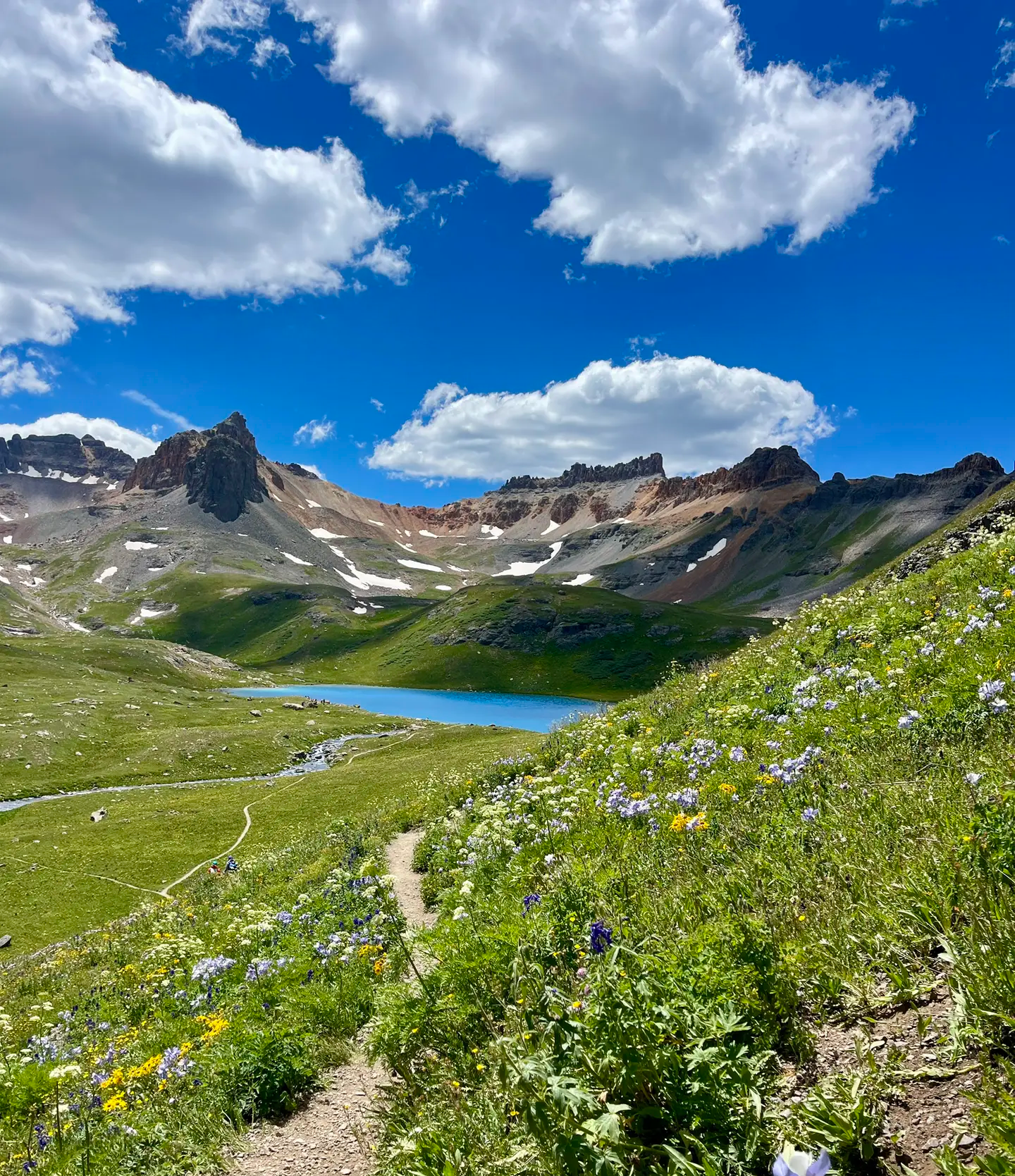
A quiet alpine lake tucked above 12,000 feet, surrounded by rugged peaks and meadows that burst with wildflowers in summer. The approach is steep, but the reward is a calm shoreline where you can pause, catch your breath, and take in the reflections on the water. At this altitude the air is thin and the effort is real, making it a memorable turnaround point or a brief stop on a longer mountain run.
0
0

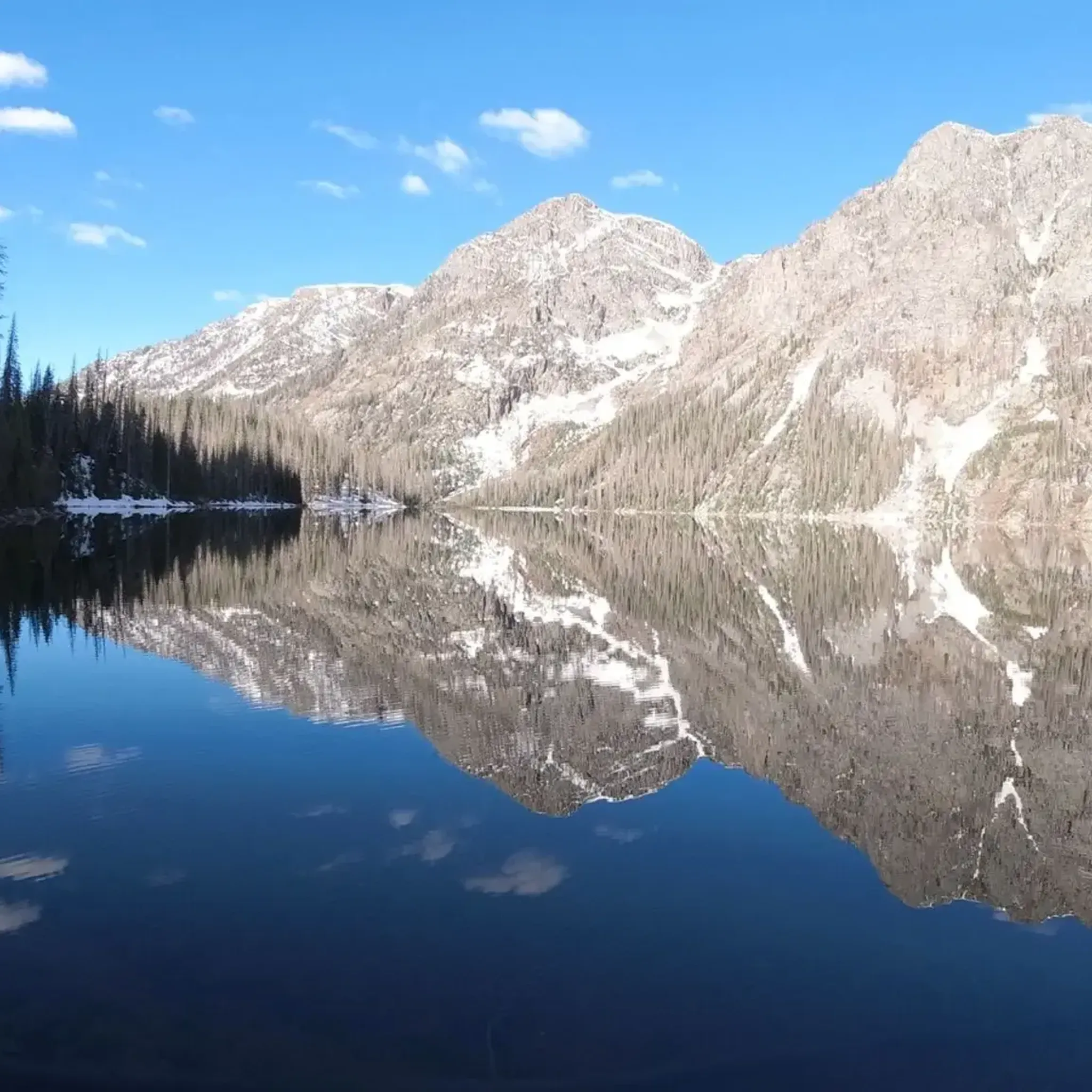
At this junction, you can decide to follow the Cataract Gulch Trail for some yards to get to Cataract Lake, stay at this smaller lake right in front of you or continue your hike along the Colorado Trail/CDT. The shore at the small lake offers room for 5+ tents, Cataract Lake has plenty of room for more camping. Moreover, there are big trout in Cataract Lake if you are into fishing.
2
0


This junction marks Cataract Lake Trail and the smaller lake on the southwest, which offers numerous open, dispersed camping areas and fantastic views. To access the main Cataract Lake, take the side trail off the Colorado Trail/CDT for a short .3 miles north.
0
0
At 13,271 feet you reach the official highest point of the Colorado Trail. Neither the ascent nor the descent are particularly steep, so you might think that you didn’t climb up that much. Nevertheless, enjoy the view and celebrate your achievement! If you like, you can hike up to the nearby summit to find a geological marker.
1
0
Spring Creek Pass is the access point for hikers of the Colorado Trail/Continental Divide Trail to get into Lake City - unique hiker town. The hitch might not be too easy, but it is worth the wait. The trailhead has plenty of parking and a pit toilet.
0
0

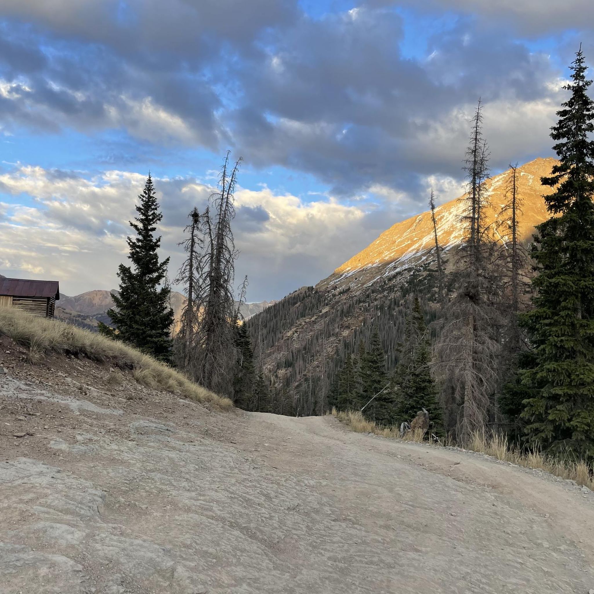
Here you will encounter a confluence of different singletrack trails and gravel roads. About a mile up the gravel road to the north is Carson, an old, well-preserved ghost town. Section 22 of the Colorado Trail runs east, and section 23 heads south. The Continental Divide Trail follows the same route as the CT.
0
0

Climbing Slumgullion Pass northbound on Highway 149 is a journey into the heart of the rugged San Juan Mountains, notorious for its challenging gradients and stunning high-alpine scenery. You'll ascend through beautiful, remote forests for approximately 7-8 miles, gaining over 2,100 ft to reach the lofty 11,530 ft summit. This is a tough climb, averaging a steep 6% or more, but be particularly prepared for its well-known steepness: the hardest mile averages near 9.3%, with sustained pitches that can push 12-14% or even steeper. Enjoy the wild beauty and solitude as you wind your way up this paved scenic byway.
0
0
ヒンズデール郡の人気観光スポット

komootモバイルアプリでインスピレーションを得よう


探していたものは見つかりませんでしたか?
近くの素晴らしい場所をもっと探索したいですか?ガイドを見てみましょう:
さらに探索
まだ探しているハイライトが見つかりませんか?他の地域のトップアトラクションのガイドを見てみましょう:
