パーク郡のおすすめライド
4.8
(7)
516
ライダー
10
ライド
このガイドでご紹介するのは、komootがパーク郡でのロードバイクルートのコレクション全体を評価して選び抜いた、このエリアの人気バイクライドです。あなたに合ったものを見つけるには、以下のルートをクリックして標高データや舗装状態の分析などの細かな情報を把握し、さらにkomootコミュニティのメンバーが投稿した役立つ情報や写真も閲覧しましょう。
最終更新日: 8月 31, 2026
4.0
(1)
9
ライダー
68.5km
03:25
1,100m
1,100m
Prepare for a demanding road cycling journey on the Breckenridge via Hoosier Pass route, a difficult ride spanning 42.6 miles (68.5 km). You will climb a substantial 3614 feet (1102…
7
ライダー
56.2km
03:37
1,150m
1,150m
Road cycling the Guanella Pass — Bailey offers a difficult 34.9-mile climb through Pike National Forest with stunning mountain views.

無料新規登録
1
ライダー
50.2km
02:52
890m
890m
Cycle the moderate 31.2-mile Pine Valley loop near Bailey, Colorado, featuring 2930 feet of elevation gain through scenic mountain landscape
56.9km
02:59
670m
670m
This moderate 35.4-mile road cycling route near Lake George, Colorado, offers scenic views of Eleven Mile Reservoir and the Rocky Mountains.
2
ライダー
82.2km
03:35
770m
770m
Cycle the moderate Lake George loop in Pike National Forest, a 51.1-mile gravel route with 2525 feet of gain and scenic river and mountain v
91.1km
04:34
540m
540m
Embark on a moderate road cycling adventure with the Loop from Fairplay to Antero Reservoir, covering 56.6 miles (91.1 km) and gaining 1787 feet (545 metres) in elevation. This route…
90.9km
04:34
550m
550m
Embark on the Antero Reservoir loop, a moderate road cycling route that takes you through the expansive South Park basin. You will cover 56.5 miles (90.9 km) with an elevation…
63.4km
03:14
650m
650m
Embark on a moderate road cycling adventure over Kenosha Pass, a 39.4-mile (63.4 km) route that climbs 2118 feet (645 metres) through the scenic Pike-San Isabel National Forests. As you…
30.7km
01:39
430m
430m
This racebike route from Como to Fairplay offers a moderate challenge across 19.1 miles (30.7 km). You will climb 1411 feet (430 metres) over an estimated 1 hour and 39…
12
ライダー
36.6km
02:08
870m
870m
中程度のロードライド. ある程度のフィットネスレベルが必要です。 全般的に舗装状態が良好で走行しやすい道です。
おすすめのツアーは他のkomootユーザーが実際に経験した何千ものアクティビティに基づいています。





コミュニティからのヒント

At an elevation of 10,000 feet, Kenosha Pass offers stunning views of the surrounding mountains. It is also a trailhead for the Colorado Trail, therefore, you will find a trail register here. If you want to grab a bite or charge your devices, this is a good spot to hitch into the town of Jefferson, which is just 4.3 miles south of here.
4
0

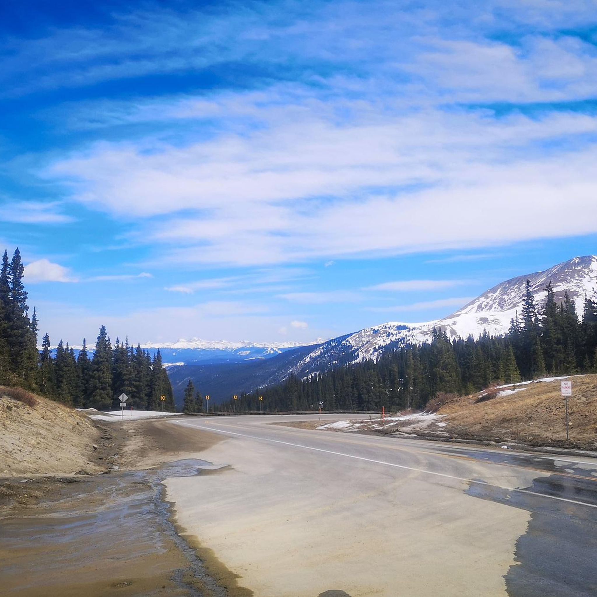
Hoosier Pass is a mice mountain climb to begin from Breckenridge. The road has a decent sized shoulder on the way up and you are rewarded with mountain views once you reach the switchbacks. In the winter they do a good job of clearing the roads, but there is quite a bit of sand.
0
0

This trailhead along the Colorado Trail marks the beginning (or end) of Section 6. It is located right at the Kenosha Pass.
1
0

Burning Bear Trail and Abyss Lake Trail share the same trailhead. Burning Bear is completely in Pike National Forest, while Abyss Lake heads into the Mount Evans Wilderness. There are different rules of travel for these two areas, and there is signage at the trailhead explaining the different rules for the different recreational areas.
0
0

Guanella Pass sits at 11,669 feet in elevation & offers incredible views, especially in the fall when the aspens are changing. The pass separates two National Forests, the Arapaho & Pike, so there are also many camping and recreational opportunities in the area.
0
0

Pine Grove is a small rustic town sitting just outside of Pine Junction, a much larger town. Located along the Platte River, this mountain town is surrounded by green parks and national forest.
0
0
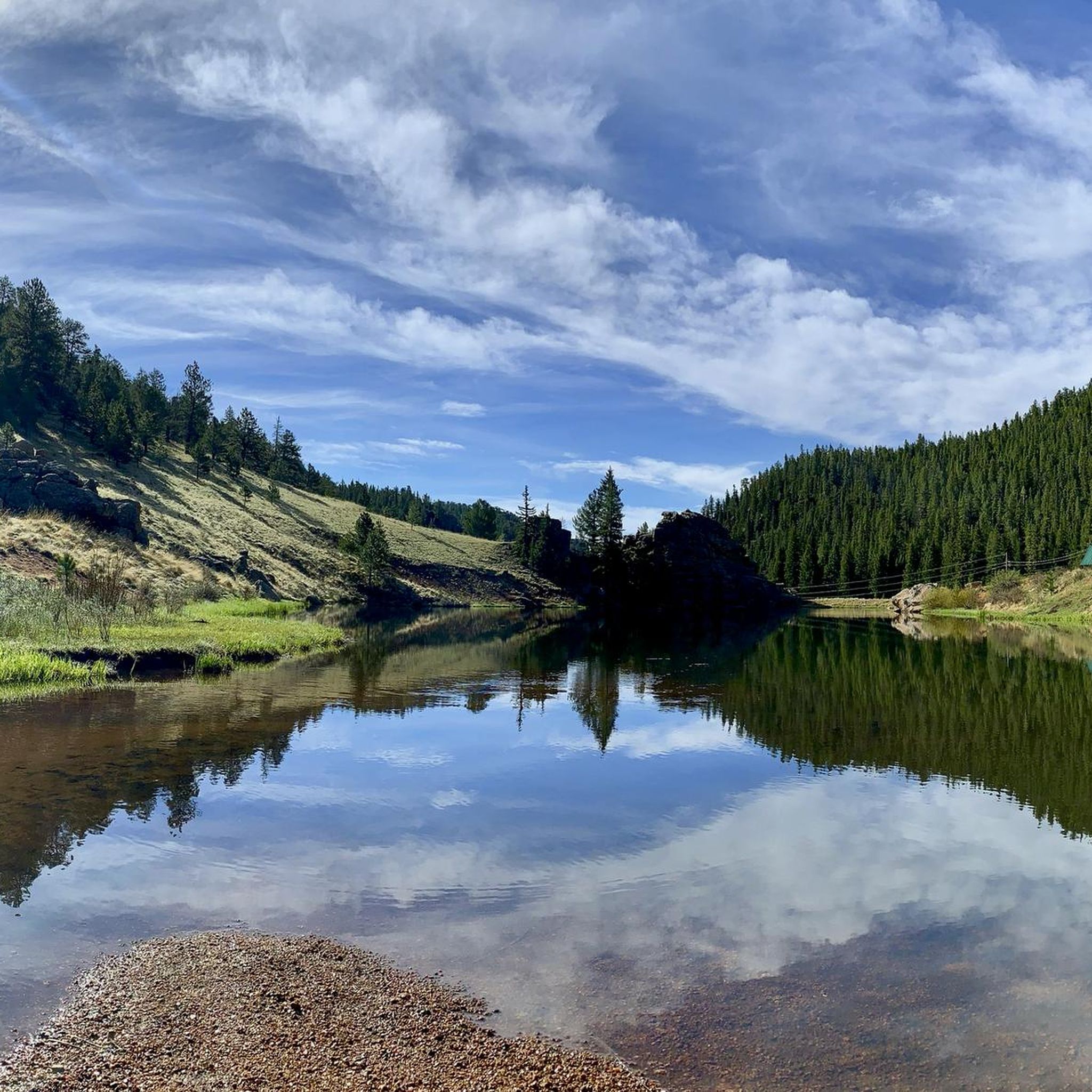
Lake George is just west of Ute Pass and got its start as a stage stop before becoming a hub for the Colorado Midland Railroad. Today it is known for world-class trout fishing.
0
0

komootモバイルアプリでインスピレーションを得よう


さらに探索
他の地域の最高のロードサイクリングルートを見てみましょう。
