フランスのリビエラのおすすめライド
4.5
(11298)
291,472
ライダー
2,581
ライド
このガイドでご紹介するのは、komootがフランスのリビエラでのロードバイクルートのコレクション全体を評価して選び抜いた、このエリアの人気バイクライドです。あなたに合ったものを見つけるには、以下のルートをクリックして標高データや舗装状態の分析などの細かな情報を把握し、さらにkomootコミュニティのメンバーが投稿した役立つ情報や写真も閲覧しましょう。
最終更新日: 10月 7, 2026
4.8
(142)
2,741
ライダー
54.7km
02:41
810m
810m
中程度のロードライド. ある程度のフィットネスレベルが必要です。 ツアーの一部に、未舗装のため走行が難しい箇所があるかもしれません。
4.7
(105)
1,691
ライダー
67.4km
03:18
1,000m
1,000m
難しいロードライド. 標準以上のフィットネスレベルが必要です。 全般的に舗装状態が良好で走行しやすい道です。

4.9
(59)
1,433
ライダー
38.7km
02:20
1,030m
1,030m
難しいロードライド. 標準以上のフィットネスレベルが必要です。 全般的に舗装状態が良好で走行しやすい道です。
4.0
(50)
1,428
ライダー
59.8km
02:52
760m
760m
中程度のロードライド. ある程度のフィットネスレベルが必要です。 全般的に舗装状態が良好で走行しやすい道です。
4.6
(78)
1,237
ライダー
46.1km
02:19
700m
690m
中程度のロードライド. ある程度のフィットネスレベルが必要です。 全般的に舗装状態が良好で走行しやすい道です。
4.6
(41)
847
ライダー
34.2km
01:38
470m
470m
中程度のロードライド. ある程度のフィットネスレベルが必要です。 ツアーの一部に、未舗装のため走行が難しい箇所があるかもしれません。
4.9
(15)
673
ライダー
86.0km
04:10
1,280m
1,280m
難しいロードライド. 標準以上のフィットネスレベルが必要です。 全般的に舗装状態が良好で走行しやすい道です。
4.5
(37)
714
ライダー
41.6km
02:05
590m
580m
中程度のロードライド. ある程度のフィットネスレベルが必要です。 ツアーの一部に、未舗装のため走行が難しい箇所があるかもしれません。
4.1
(21)
687
ライダー
43.9km
02:07
480m
480m
中程度のロードライド. ある程度のフィットネスレベルが必要です。 全般的に舗装状態が良好で走行しやすい道です。
4.6
(23)
420
ライダー
29.1km
01:33
580m
580m
中程度のロードライド. ある程度のフィットネスレベルが必要です。 全般的に舗装状態が良好で走行しやすい道です。
さらに多くのルートや他のユーザーのおすすめ情報を確認できます。
すでにアカウントをお持ちですか?
おすすめのツアーは他のkomootユーザーが実際に経験した何千ものアクティビティに基づいています。
無料アカウントで今日から始めよう
次の冒険が待っています。


フランスのリビエラでのの他の冒険


コミュニティからのヒント

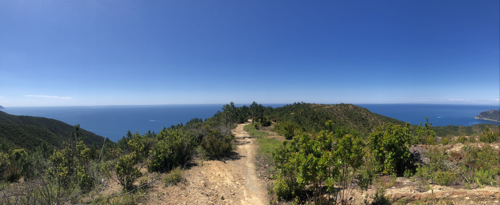
アスファルトの道が峠まで続いています。峠の頂上を過ぎてすぐに林道に入ると、急な登り下りがある景色の良いパノラマ道に出ます。遠くの山々、村々、そして海の見事な眺めが楽しめます。
0
0

この橋からは、係留されたボートのある川岸に加えて、Rocher de Roquebruneの印象的な赤い崖が見えます。信じられないほどの場所です。
1
0


A beautiful and very isolated route, paved throughout. However, the surface is often not the best, so ride carefully! Narrow tires on a road bike, especially if you're not using tubeless tires, can easily lead to a flat tire.
0
0

Nothing going on and a great road, exactly my taste 😀 the climb is rather easy but that's not a flaw; it fits in with the surroundings.👍
0
0

The Col d'Èze, located between Nice and Monaco, near La Turbie in the Alpes-Maritimes department, peaks at 507 m. Located less than 5 km from the coast, it offers a remarkable panorama of the Côte d'Azur: Cap Ferrat to the west, and Italy to the east. It is part of the Route des Grandes Alpes route. Despite its modest altitude, it is important to remember that the climbs all start at sea level and that the elevation gain is therefore quite significant at nearly 500 m. There are many options for accessing the Col d'Èze...
1
1
The Col d'Èze, located between Nice and Monaco, near La Turbie in the Alpes-Maritimes department, peaks at 507 m. Located less than 5 km from the coast, it offers a remarkable panorama of the Côte d'Azur: Cap Ferrat to the west, and Italy to the east. It is part of the Route des Grandes Alpes route. Despite its modest altitude, it is important to remember that the climbs all start at sea level and that the elevation gain is therefore quite significant at nearly 500 m. There are many options for accessing the Col d'Èze...
1
0
フランスのリビエラでのの人気ルート

komootモバイルアプリでインスピレーションを得よう


