タホ湖のおすすめライド
4.7
(23)
2,673
ライダー
12
ライド
タホ湖周辺でおすすめのロードバイクルートをお探しですか?プレーサー郡が誇るこの美しい湖周辺で楽しめるライドを集めたkomootコレクションを参考にしてください。次のアドベンチャーでは、タホ湖の魅力をもっと発見しましょう。
最終更新日: 9月 13, 2026
5.0
(6)
733
ライダー
118km
05:31
1,260m
1,260m
難しいロードライド. 標準以上のフィットネスレベルが必要です。 全般的に舗装状態が良好で走行しやすい道です。
39
ライダー
32.0km
02:00
830m
830m
中程度のロードライド. ある程度のフィットネスレベルが必要です。 全般的に舗装状態が良好で走行しやすい道です。

23
ライダー
18.6km
00:51
190m
190m
初級者向けロードバイクライド. あらゆるフィットネスレベルに適しています。 全般的に舗装状態が良好で走行しやすい道です。
34
ライダー
17.9km
00:52
200m
200m
初級者向けロードバイクライド. あらゆるフィットネスレベルに適しています。 全般的に舗装状態が良好で走行しやすい道です。
16
ライダー
19.8km
00:51
180m
180m
初級者向けロードバイクライド. あらゆるフィットネスレベルに適しています。 全般的に舗装状態が良好で走行しやすい道です。
さらに多くのルートや他のユーザーのおすすめ情報を確認できます。
すでにアカウントをお持ちですか?
おすすめのツアーは他のkomootユーザーが実際に経験した何千ものアクティビティに基づいています。
無料アカウントで今日から始めよう
次の冒険が待っています。




コミュニティからのヒント

Fantastic views. Unfortunately, completely overcrowded.
0
0

The Bayview Campground would offer a good parking lot. However, it is now closed until Spring 2025. Maybe one has to consider parking along the street during day trips.
0
0

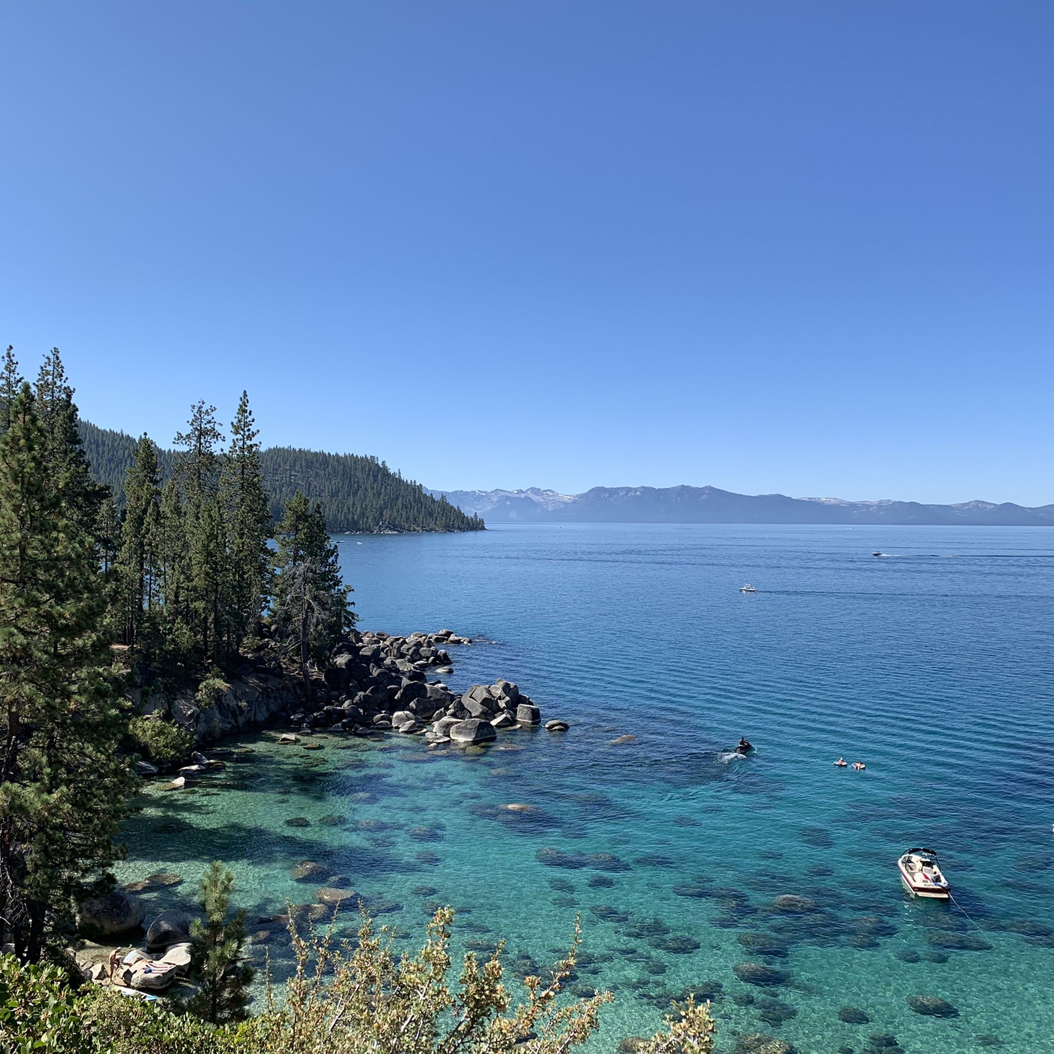
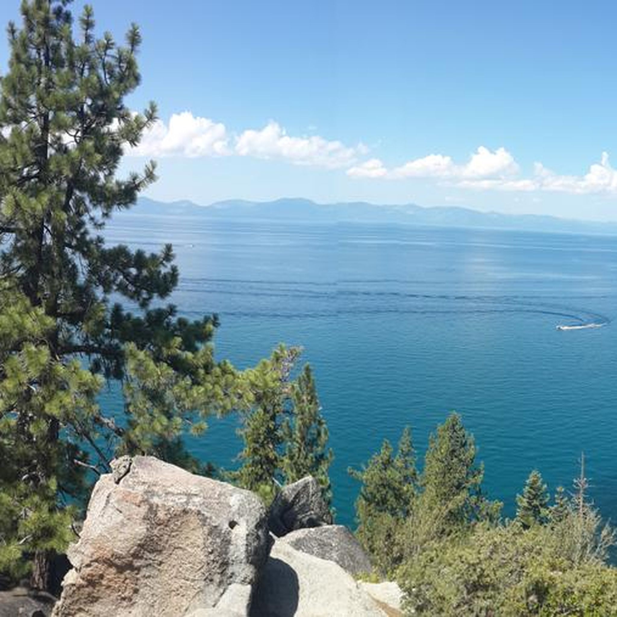
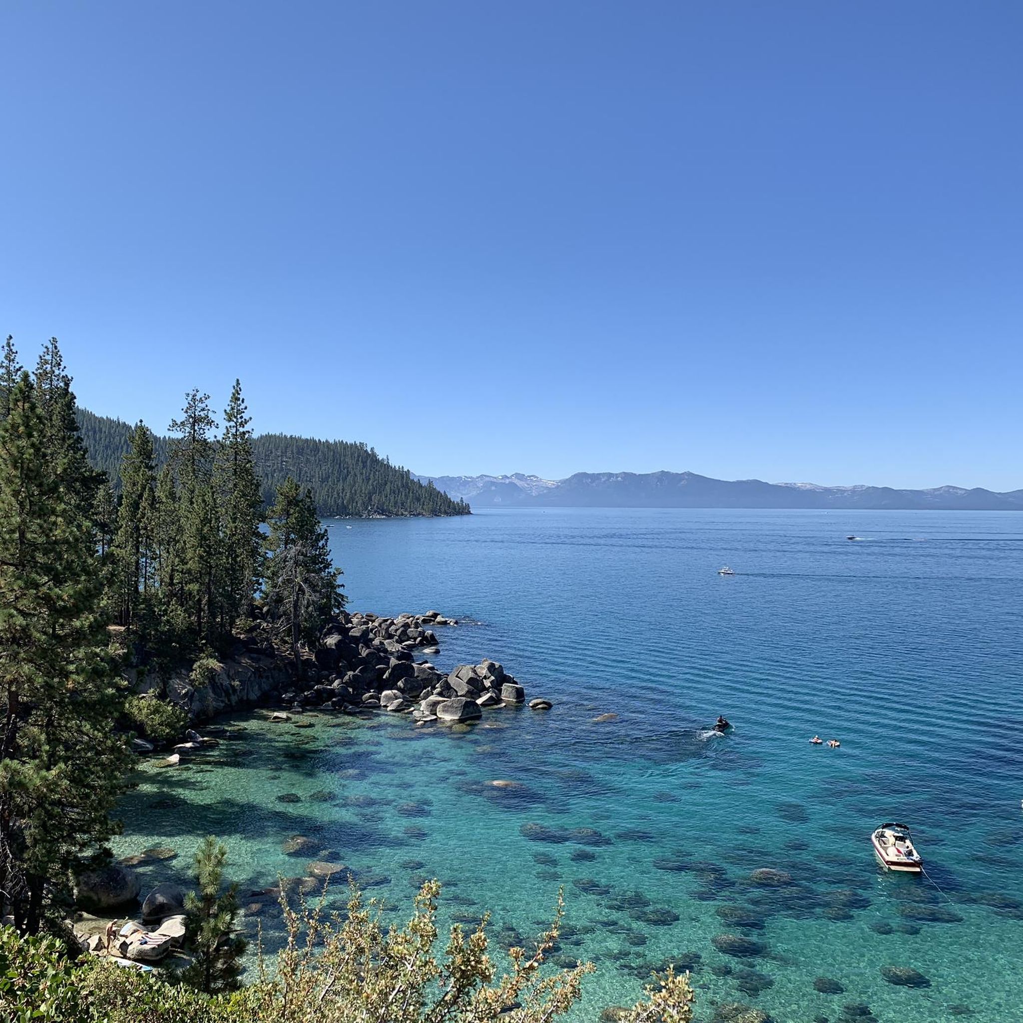
There is a short accessible path to the overlook from Highway 50 with restrooms and three stone benches. You can leave the crushed gravel path to the overlook and climb up on the rocks of the shoreline to get a better view. This spot is well worth the stop!
0
0

The trail from Incline Village to Sand Harbor is a must for anyone visiting North Lake Tahoe. There is one hill as you leave/enter Incline Village, but the rest of the trail is flat and follows along Tahoe's east shore, with incredible views around every corner. Eventually you'll end up at the fantastic Sand Harbor State Park, where you can enjoy the sun, sand, and water before heading back to Incline Village.
1
0

Lake Tahoe is a large freshwater lake that straddles the border of California and Nevada. Sitting at 6,225 feet in elevation makes it the largest alpine lake in North America. It is a major tourist draw with its stunning beauty and world-class ski resorts.
1
0
The trail from Incline Village to Sand Harbor is a must for anyone visiting North Lake Tahoe. Aside from one hill as you leave/enter Incline Village, the trail is flat and follows along Tahoe's east shore with incredible views around every corner. Eventually you'll end up at the fantastic Sand Harbor State Park, where you can enjoy the sun, sand, and water before continuing on your ride.
0
0
Sand Harbor owes its current existence to the wealthy recluse George Whittell Jr, who inherited a vast fortune in the early 20th century. The wealthy heir bought 40,000 acres (nearly the entire Nevada side of Tahoe) with plans to develop large casinos and resorts. However, as he grew older he became more paranoid and reclusive and none of his grand plans came to fruition. Eventually most of his Tahoe holdings became public lands and the East Shore, Sand Harbor included, remain much less developed than other areas around Tahoe.
0
0
タホ湖でのの人気観光スポット

komootモバイルアプリでインスピレーションを得よう


さらに探索
他の地域の最高のロードサイクリングルートを見てみましょう。
