アンデバロ・オリエンタルのおすすめランニングルート
3.5
(2)
335
ランナー
35
ランニング
アンデバロ・オリエンタルでランニングを楽しめば、このエリアをより深く知ることができます。ランニングに適した美しいルートが見つかるように、komootがアンデバロ・オリエンタルでのルートのコレクション全体を評価して選び抜いた、人気ランニングトレイルをご紹介します。ルートをクリックして詳細を表示し、他のユーザーがアップロードした役立つ情報や写真を閲覧しましょう。
最終更新日: 10月 10, 2026
2
ランナー
15.4km
01:52
260m
260m
難しいジョギング. 標準以上のフィットネスレベルが必要です。 全般的に舗装された状態です。あらゆるスキルレベルに適しています。
10.6km
01:22
220m
220m
中程度のジョギング. ある程度のフィットネスレベルが必要です。 全般的に舗装された状態です。あらゆるスキルレベルに適しています。

15.3km
02:00
420m
420m
Jog a difficult 9.5-mile (15.3 km) circular route from Berrocal, exploring the unique red landscapes of the Rio Tinto.
15.4km
02:02
430m
430m
This difficult 9.5-mile (15.4 km) trail run near Berrocal offers challenging terrain, river views, and panoramic vistas from Río Tinto Viewp
5.0
(1)
47
ランナー
16.7km
02:25
750m
750m
難しいジョギング. 標準以上のフィットネスレベルが必要です。 全般的に舗装された状態です。あらゆるスキルレベルに適しています。
25
ランナー
21.5km
02:44
410m
410m
難しいジョギング. 標準以上のフィットネスレベルが必要です。 全般的に舗装された状態です。あらゆるスキルレベルに適しています。
25
ランナー
20.2km
02:45
600m
600m
難しいジョギング. 標準以上のフィットネスレベルが必要です。 全般的に舗装された状態です。あらゆるスキルレベルに適しています。
21
ランナー
19.9km
02:33
460m
460m
難しいジョギング. 標準以上のフィットネスレベルが必要です。 全般的に舗装された状態です。あらゆるスキルレベルに適しています。
5
ランナー
10.4km
01:16
140m
140m
中程度のジョギング. ある程度のフィットネスレベルが必要です。 全般的に舗装された状態です。あらゆるスキルレベルに適しています。
4
ランナー
6.09km
00:43
70m
70m
中程度のジョギング. ある程度のフィットネスレベルが必要です。 全般的に舗装された状態です。あらゆるスキルレベルに適しています。
さらに多くのルートや他のユーザーのおすすめ情報を確認できます。
すでにアカウントをお持ちですか?
おすすめのツアーは他のkomootユーザーが実際に経験した何千ものアクティビティに基づいています。



コミュニティからのヒント

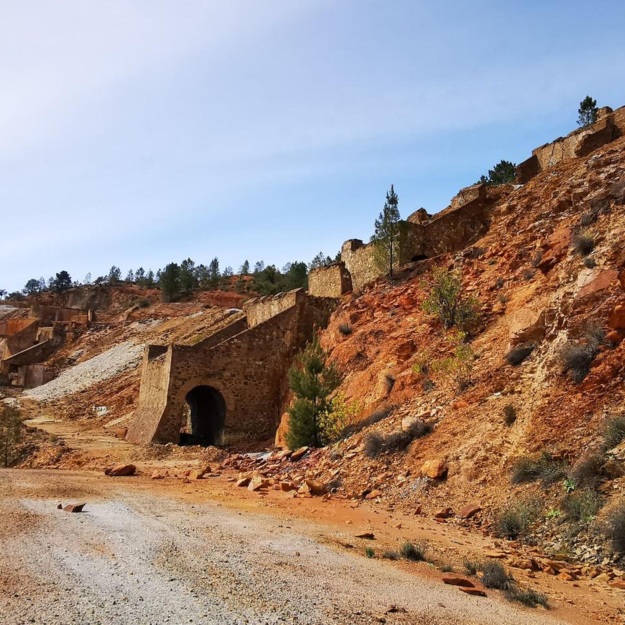
The Camino Greenway in Calañas (Huelva) is part of a group of former mining railway lines converted into hiking, cycling, and nature tourism trails. Although not one of the most widely promoted, it offers a very interesting tour of the region's mining past.
1
0
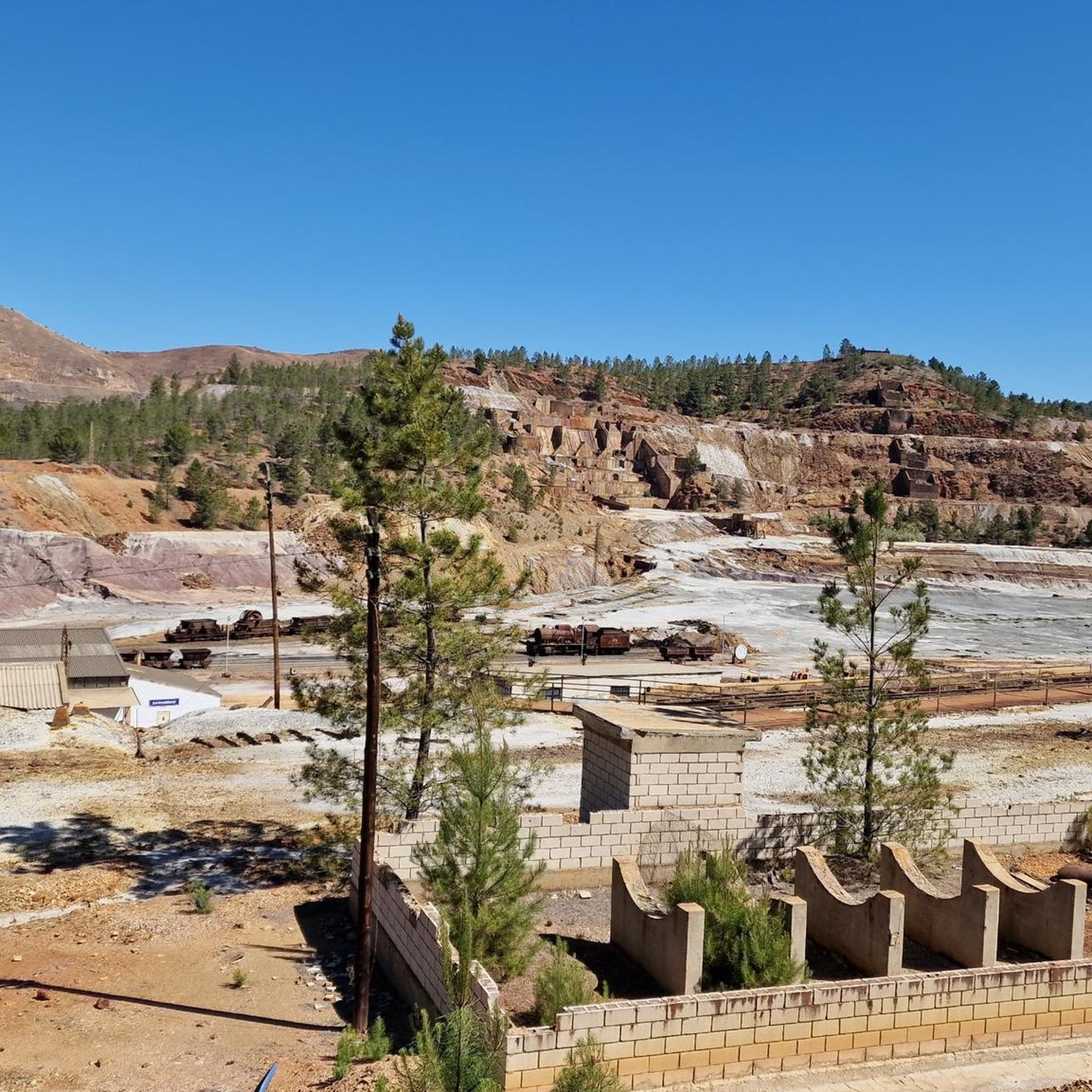
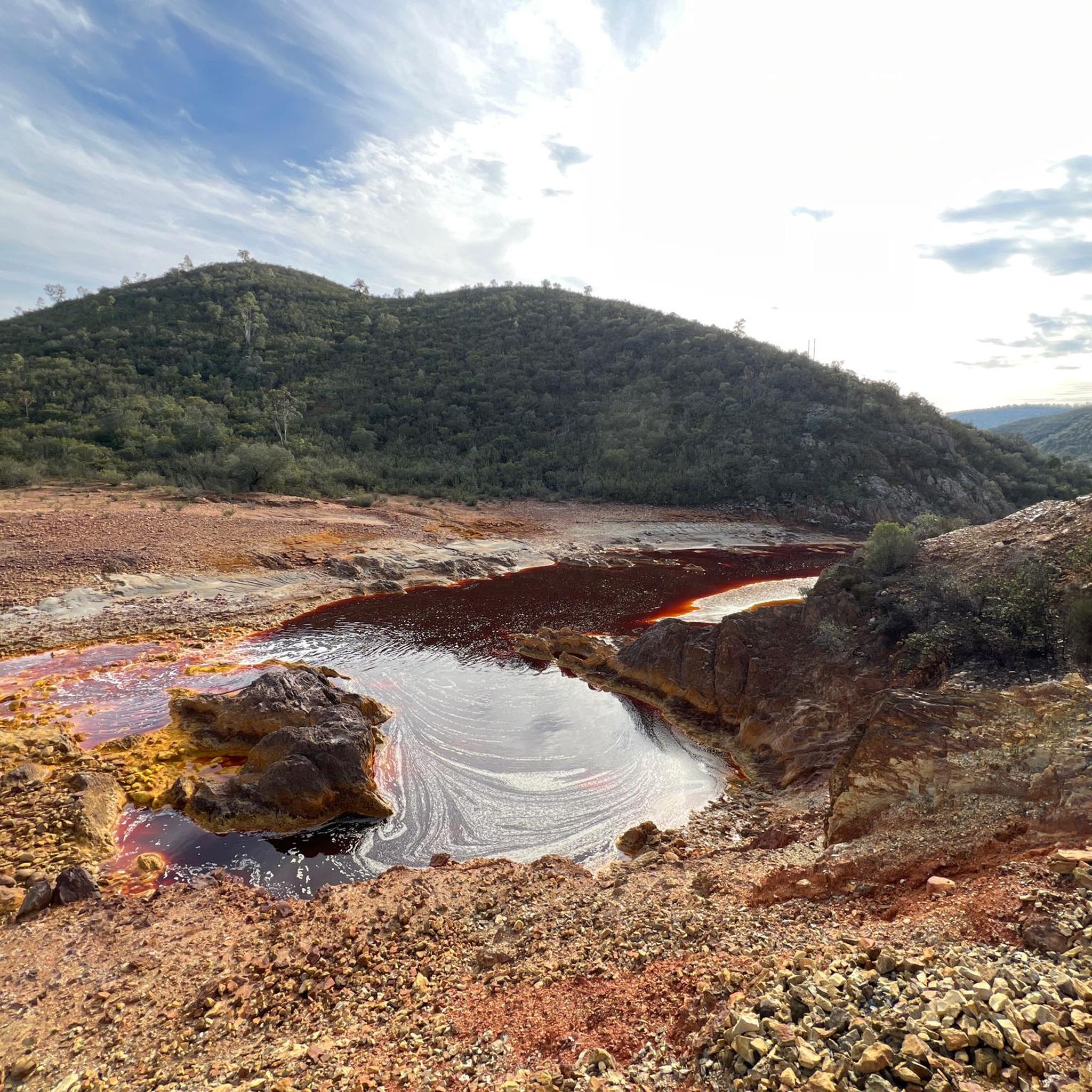
The Peña del Hierro Viewpoint, located in Nerva (Huelva), is part of the Riotinto Mining Park and offers one of the most impressive views of the source of the Tinto River, as well as the mining crater of the old pyrite mine.
1
0
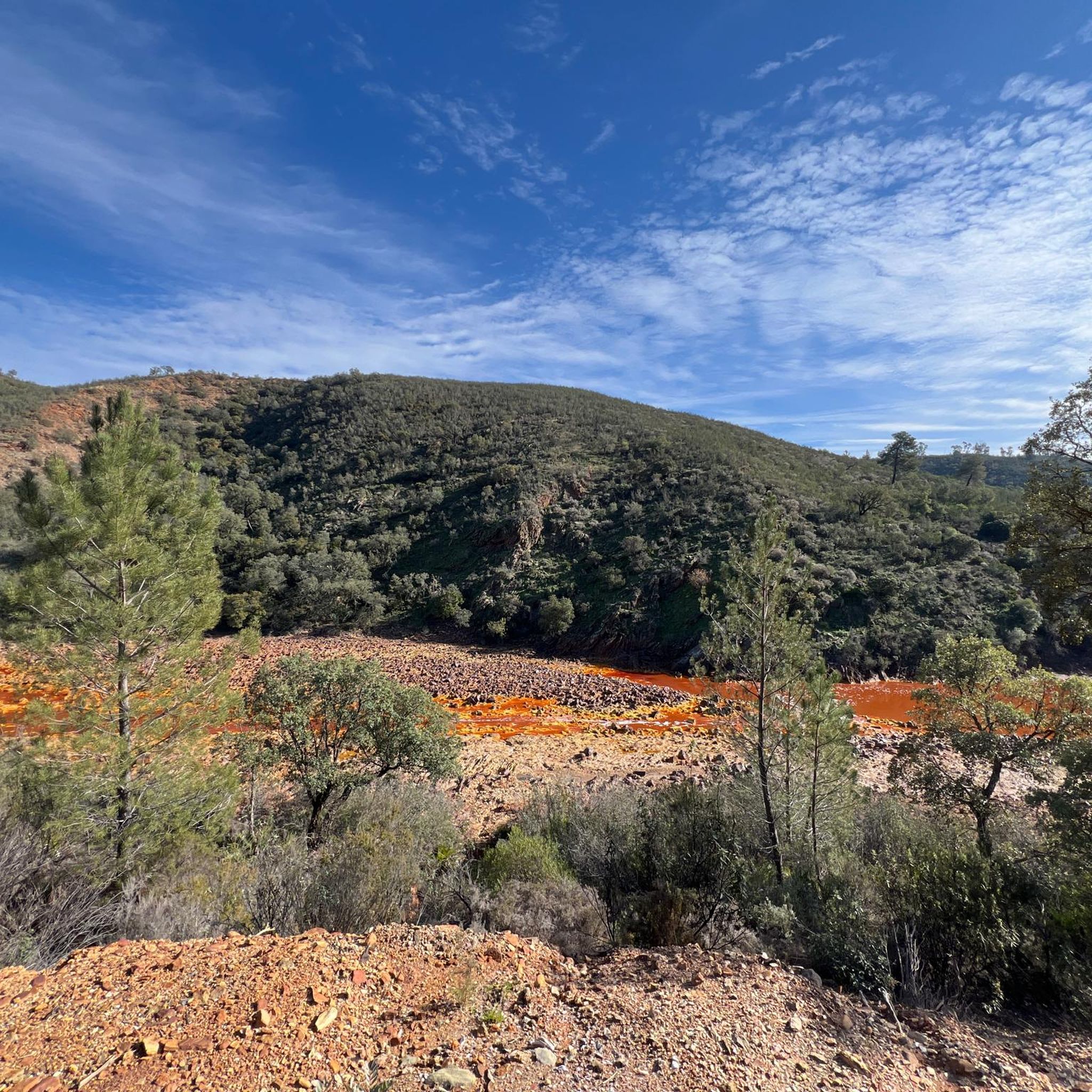
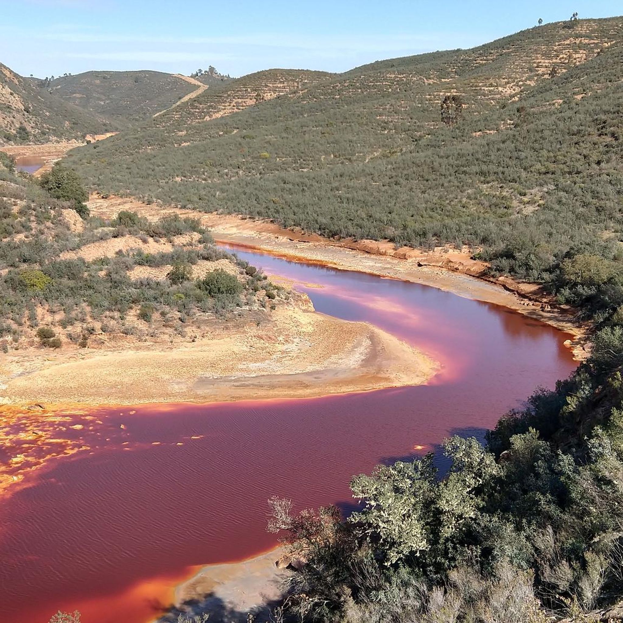
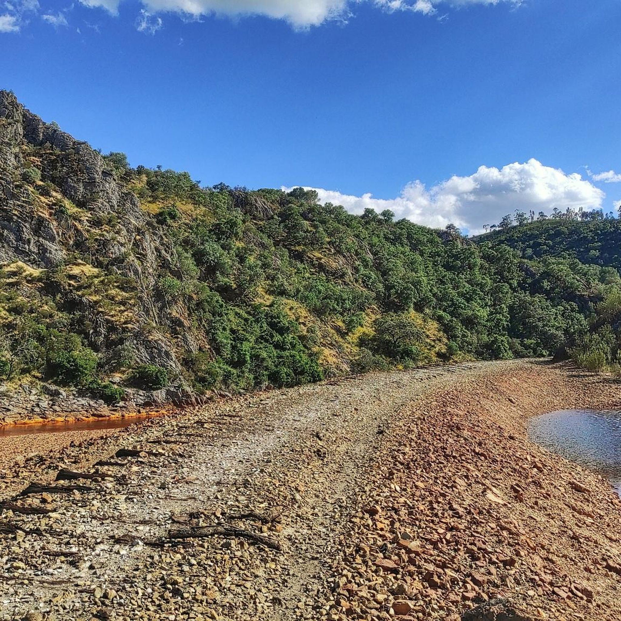
The source of the Tinto River is located in the municipality of Nerva, in the province of Huelva, Andalusia, and is one of the most unique landscapes in Europe due to its reddish color and its scientific and geological value.
1
0
The Roman bridge over the Odiel River in Calañas is a historic structure that is part of the region's rich heritage. This bridge is a point of interest on several hiking trails that run through the area, allowing visitors to enjoy the natural beauty and cultural heritage of the area.
8
0

Museum and the Corte Atalaya are well worth seeing. We also recommend a short tour of the place.
0
0
約3キロメートルの周回ルートが、自然記念物Montera de Gossanの周りを巡ります。美しい景色のため、お見逃しなく。
0
0

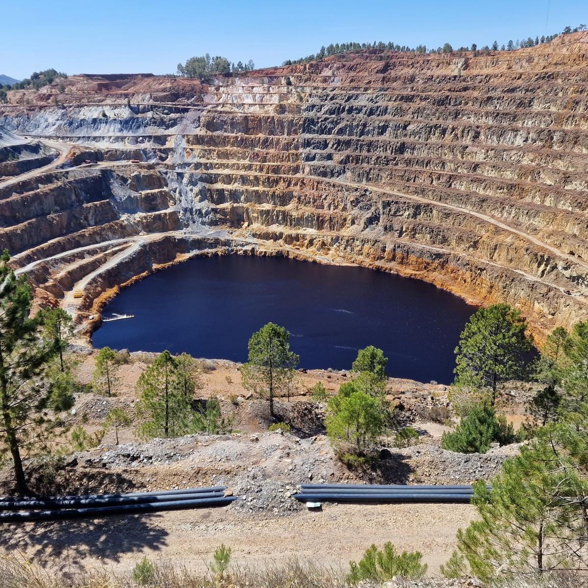
It was a mining exploitation located in the town of La Zarza-Perrunal active from the mid-19th century to the end of the 20th century. Currently, it is partially flooded, forming a lake known as La Corta. It is worth going up to the viewpoint to observe the exploitation from its highest point.
0
0
Spanish town in the municipality of La Zarza-Perrunal. This town is closely related to mining since the Romans began to work these mountains.
2
0
アンデバロ・オリエンタルでのの人気観光スポット

komootモバイルアプリでインスピレーションを得よう


探していたものは見つかりませんでしたか?
アンデバロ・オリエンタルの下にある他のランニングトレイル & ルートをチェックして、目的地で完璧なルートを見つけましょう。
さらに探索
他の地域の最高のランニングトレイル & ルートを見てみましょう。
