カンピニャ・アルタのおすすめライド
4.6
(52)
5,626
ライダー
411
ライド
このガイドでご紹介するのは、komootがカンピニャ・アルタでのロードバイクルートのコレクション全体を評価して選び抜いた、このエリアの人気バイクライドです。あなたに合ったものを見つけるには、以下のルートをクリックして標高データや舗装状態の分析などの細かな情報を把握し、さらにkomootコミュニティのメンバーが投稿した役立つ情報や写真も閲覧しましょう。
最終更新日: 10月 24, 2026
73
ライダー
78.1km
04:11
1,490m
1,490m
This difficult 48.6-mile road cycling route from Cabra in Parque Natural Sierras Subbeticas offers dramatic scenery and challenging climbs.
20
ライダー
52.2km
02:23
580m
590m
This moderate 32.4-mile road cycling route from Puente Genil explores the Andalusian countryside, featuring olive groves and river views.

15
ライダー
59.8km
02:59
890m
890m
This moderate 37.2-mile road cycling route from Baena explores Andalusian olive groves, historic viaducts, and Alcaudete Castle views.
10
ライダー
52.7km
02:32
650m
650m
This moderate 32.8-mile road cycling route from Aguilar de la Frontera connects Monturque and Montilla, winding through vineyards and olive
9
ライダー
84.8km
03:53
1,030m
1,030m
難しいロードライド. 標準以上のフィットネスレベルが必要です。 ツアーの一部に、未舗装のため走行が難しい箇所があるかもしれません。
7
ライダー
107km
05:43
2,100m
2,100m
This difficult 66.4-mile road cycling route in Parque Natural Sierras Subbéticas offers 6899 feet of climbing and panoramic views.
8
ライダー
54.2km
04:03
910m
910m
難しいロードライド. 標準以上のフィットネスレベルが必要です。 ツアーの一部に、未舗装のため走行が難しい箇所があるかもしれません。
8
ライダー
35.9km
02:08
810m
810m
Cycle a moderate 22.3-mile loop through olive groves and historic railway lines, climbing to the Cueva de los Murciélagos.
2
ライダー
87.5km
04:10
820m
830m
This moderate 54.4-mile road cycling route from Lucena explores Andalusia's olive groves and historic sites like Castillo del Moral.
2
ライダー
79.2km
03:48
1,060m
1,060m
A difficult 49.2-mile (79.2 km) road cycling route around Porcuna and Baena, featuring historical landmarks and significant elevation gain.
さらに多くのルートや他のユーザーのおすすめ情報を確認できます。
すでにアカウントをお持ちですか?
おすすめのツアーは他のkomootユーザーが実際に経験した何千ものアクティビティに基づいています。
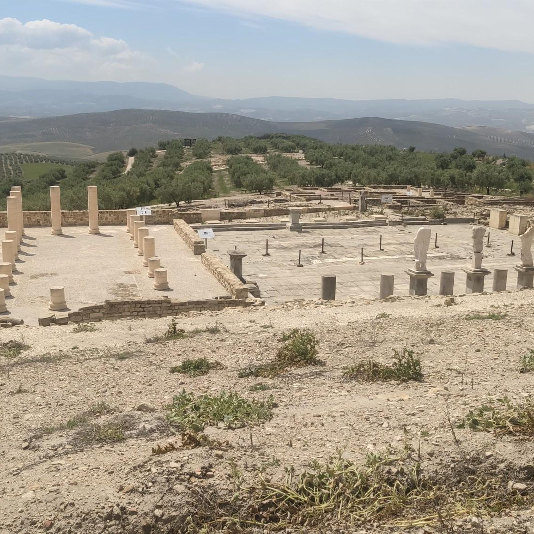
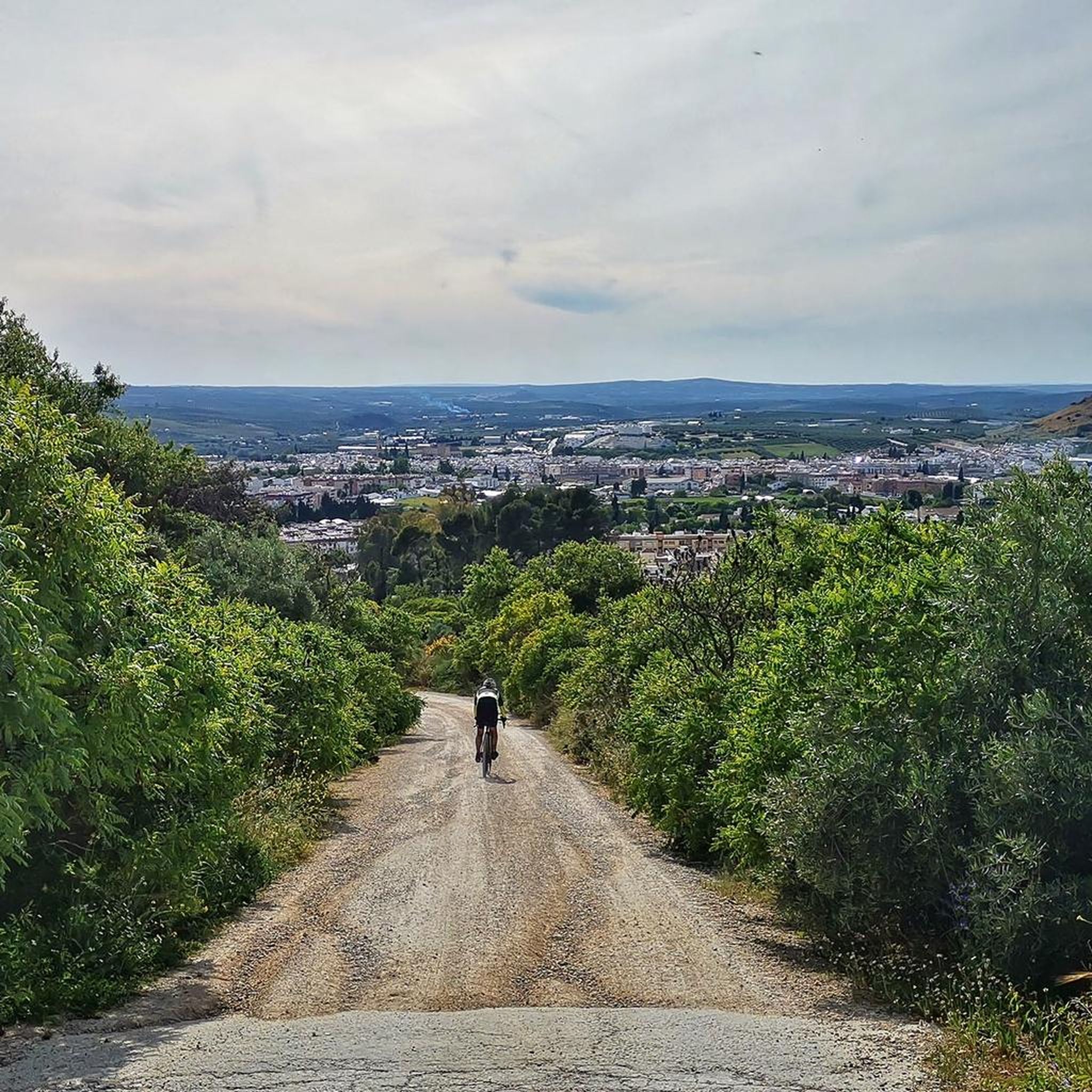
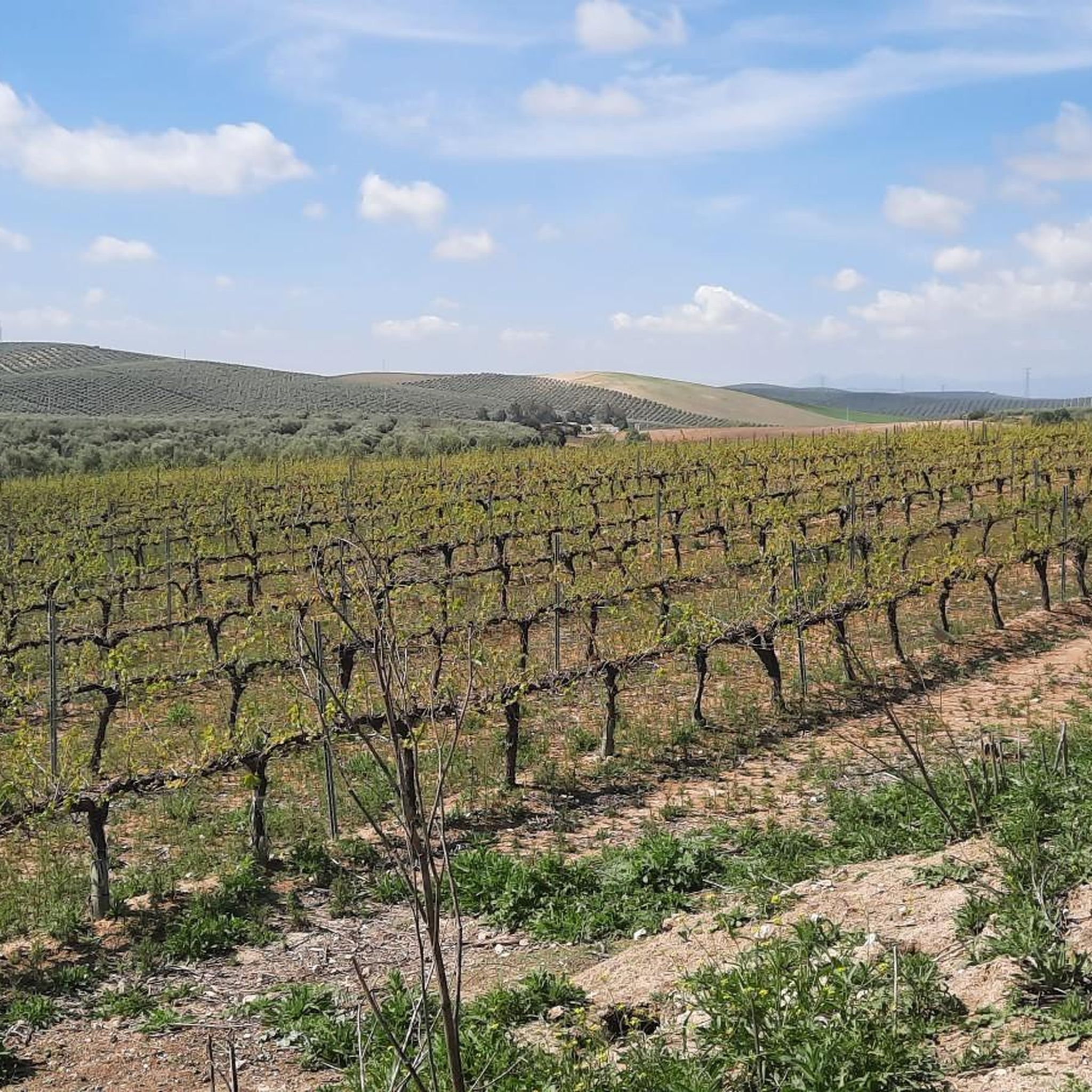
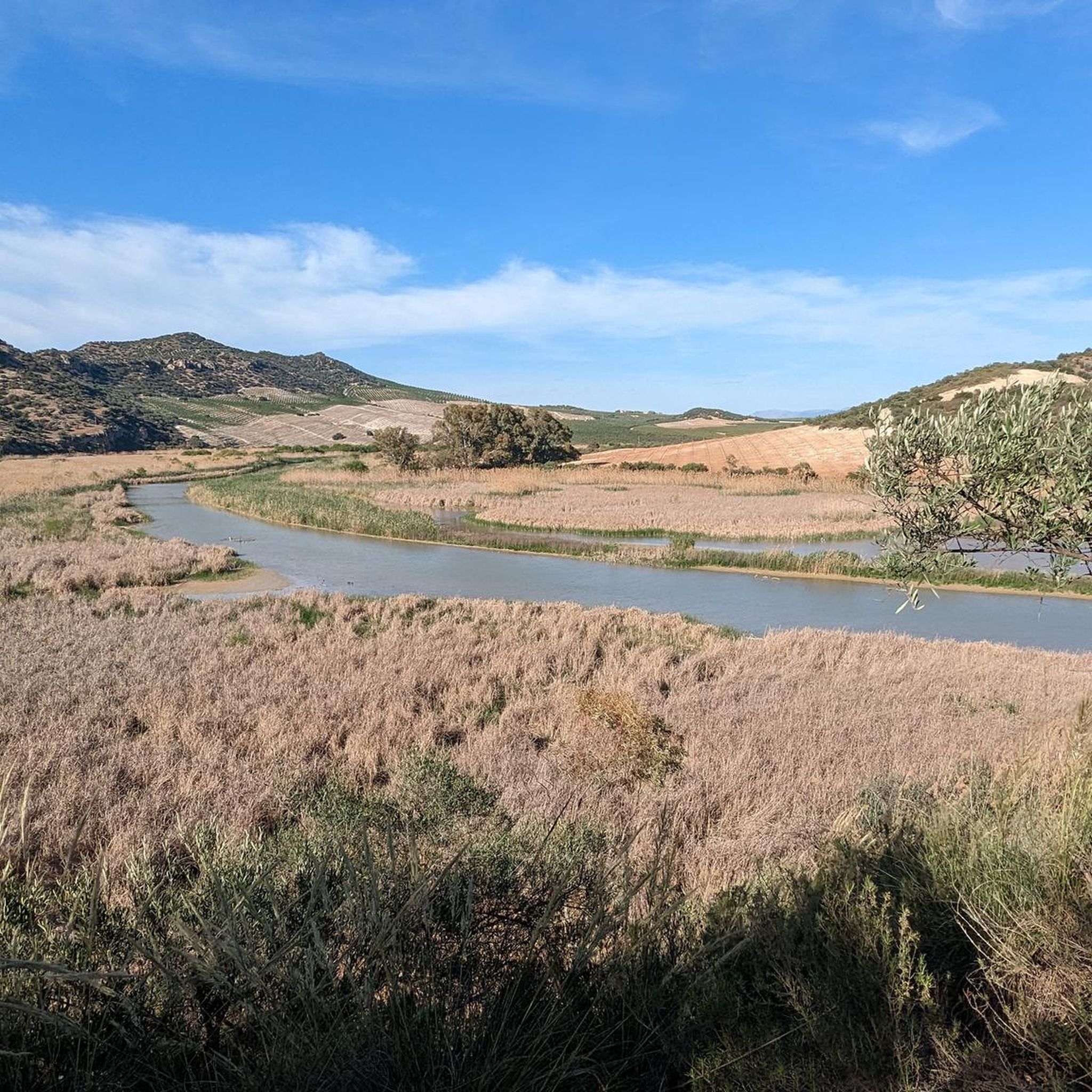
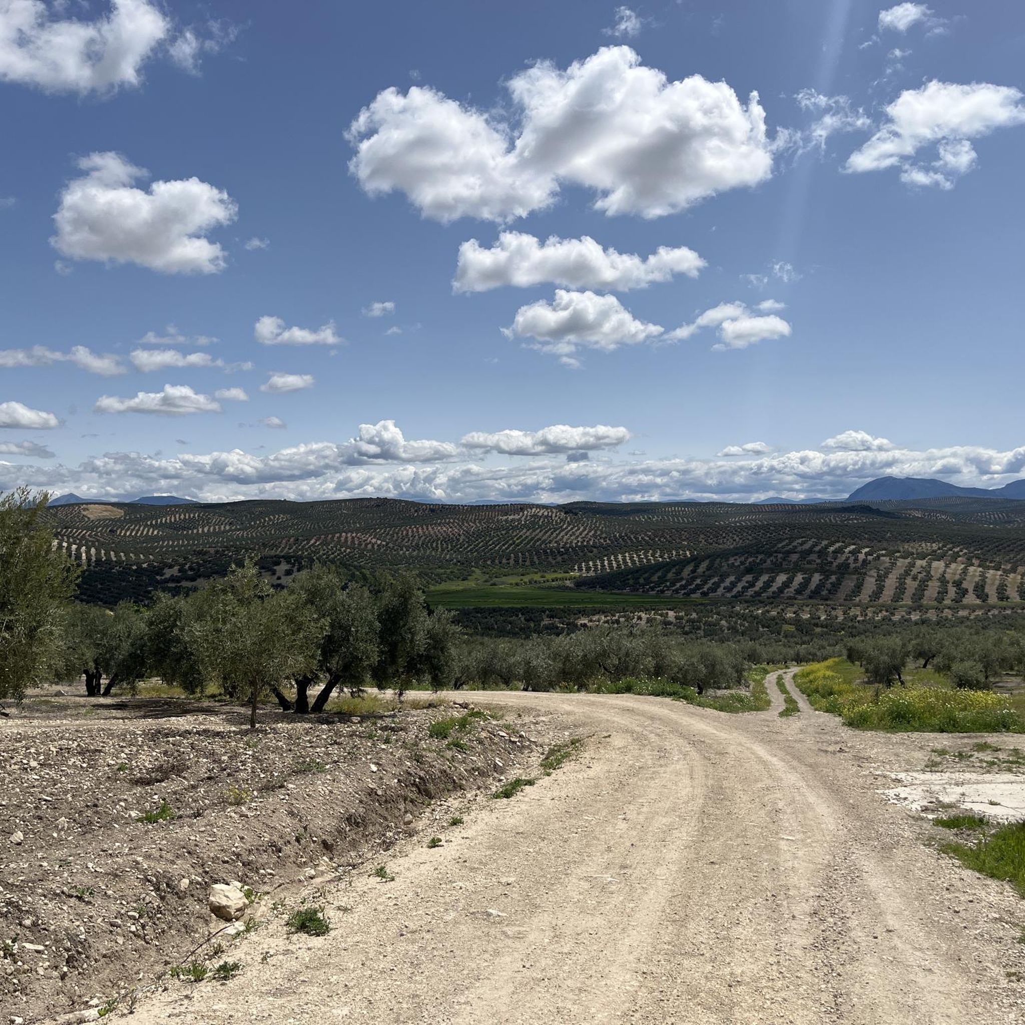
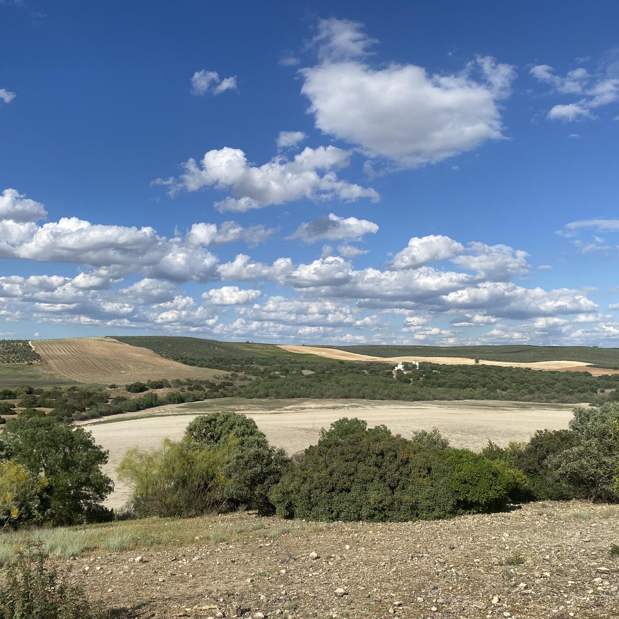


コミュニティからのヒント


Aguilar de la Frontera [2] is a Spanish municipality in the southwest of the province of Córdoba, in the autonomous community of Andalusia. The municipality is located in the region of Campiña Sur Cordobesa [3] and is the seat of the judicial district of the same name. [4] It lies at an altitude of 280 m above sea level [5] and about 47 km from the provincial capital, Córdoba. [6] In 2017, it had 13,476 inhabitants and a population density of 82.01 inhabitants/km². [7]
0
0

The Fuente del Río in Cabra, is a picturesque natural park considered the origin of the Río Cabra. The park combines the natural beauty of a karst spring with landscaped gardens and a diverse tree landscape. It was declared a “Sitio de Interés Natural” in 1929 and today offers recreational areas and picnic areas for visitors. The spring rises at the foot of the Sierra de Cabra, an area with high rainfall and calcareous rock that leads to the formation of such karst springs. The water flows through a series of waterfalls and artificial springs and supplies the entire municipality. The Fuente del Río is part of the “Ruta del Agua” in the Subbética Cordobesa and offers a harmonious interplay of nature and human design. The park is a popular place for locals and visitors who want to enjoy the tranquility and beauty of this unique place. A visit to the Fuente del Río offers the opportunity to experience the natural beauty of the region and explore the origins of the Río Cabra.
3
0

The viewpoint gives you impressive views of the canyon formed by the Bailón River and the town of Zuheros.
1
0

A natural area where the Cabra River is born. A natural spring surrounded by vegetation that transmits peace and tranquility. Highly recommended for a break on the route.
1
0

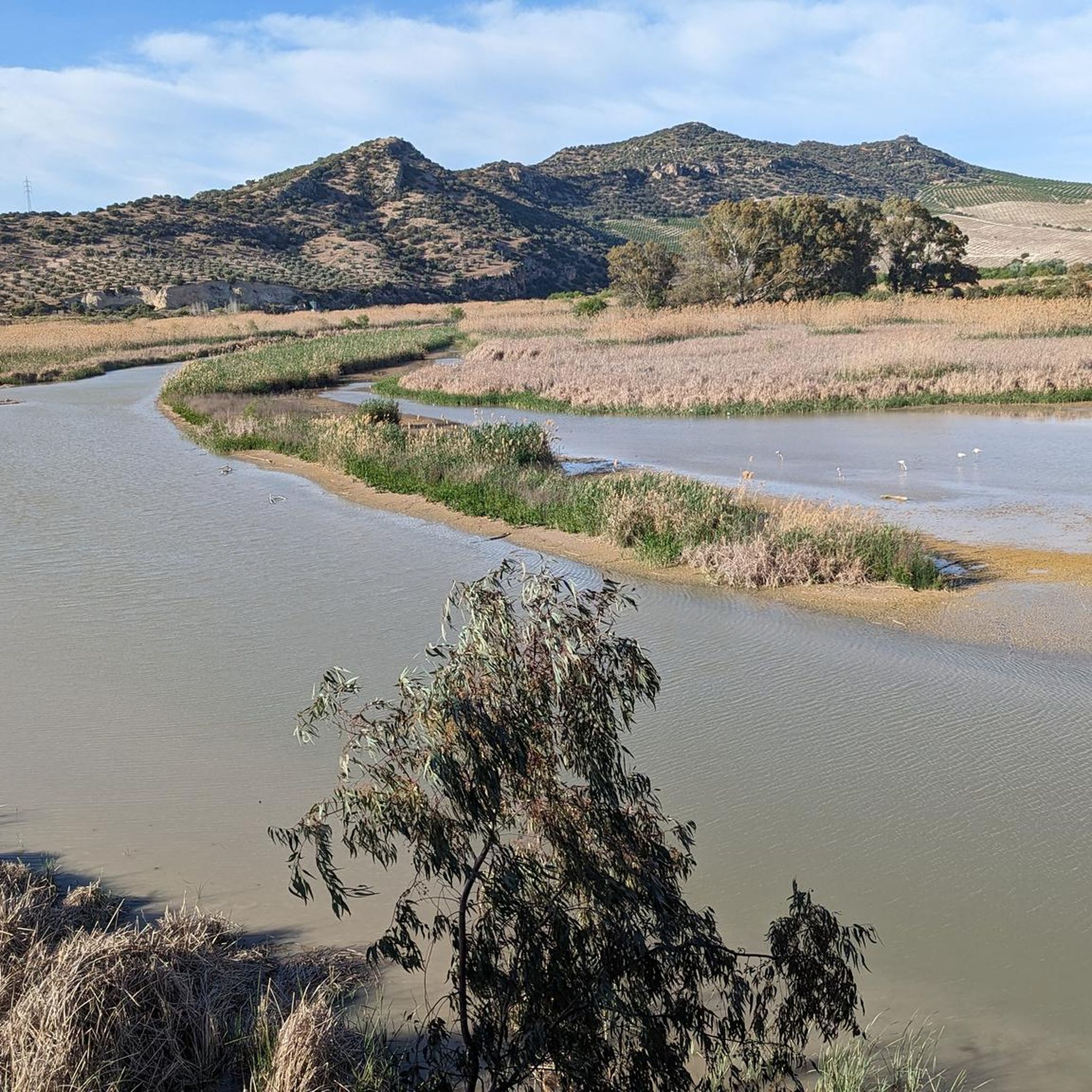
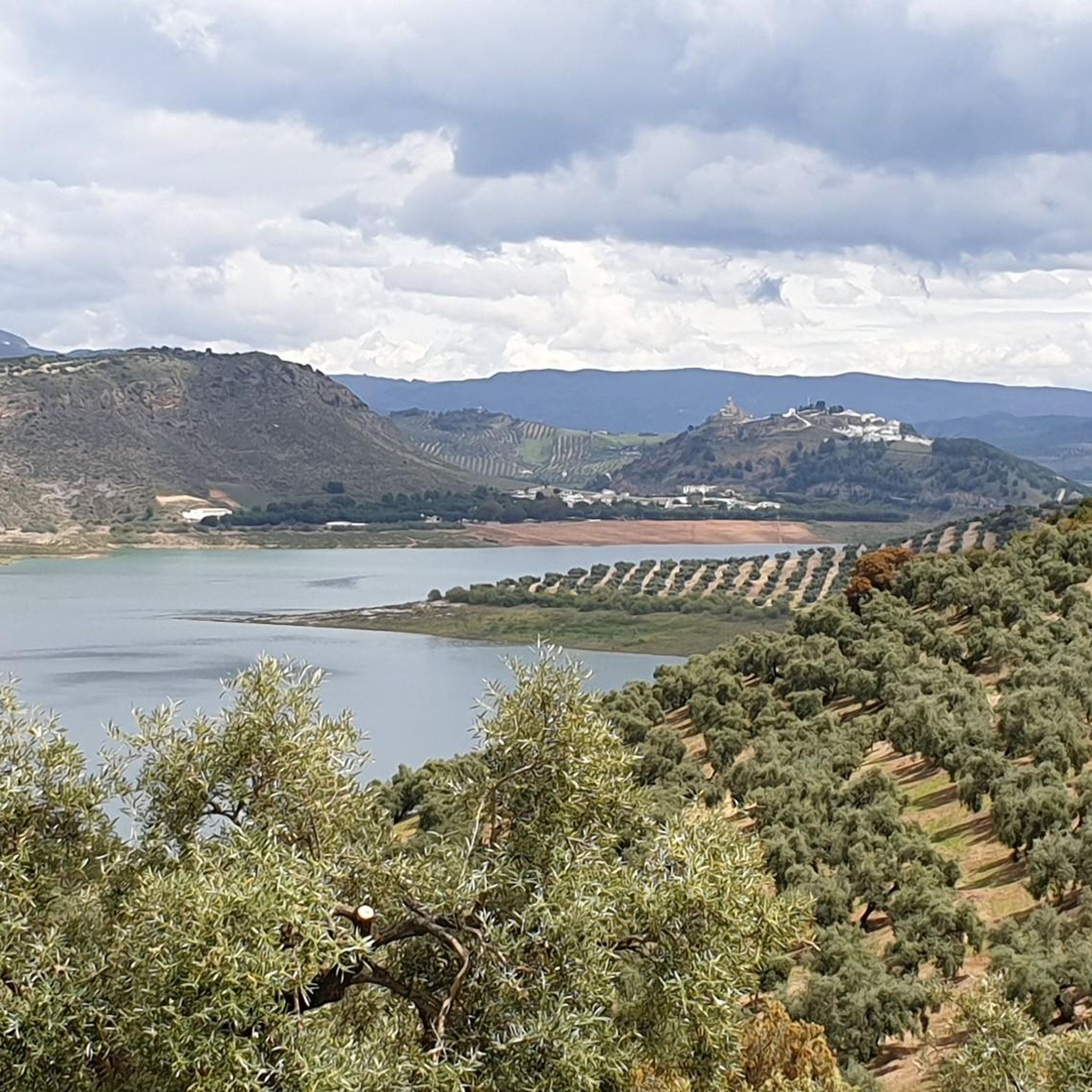
Beautiful views of the Malpasillo Reservoir and you can also see the continuity of the Río Genil!
0
0
A population center located between the Ríos Genil and Ríos de Anzuro, where it is located on a small ridge on both sides of the river. The center is small with a spectacular Iglesia Parroquial de la Expectación.
0
1
At the top of the Sierra de Cabra we find the Ermita de Nuestra Señora de la Sierra with impressive views of the entire Sierra Subbéticas y de Cabra Natural Park. With a demanding path but worth saving those meters to get to the top!
0
0
カンピニャ・アルタでのの人気観光スポット

komootモバイルアプリでインスピレーションを得よう


探していたものは見つかりませんでしたか?
カンピニャ・アルタの下にある他のロードサイクリングルートをチェックして、目的地で完璧なルートを見つけましょう。
