ルナールの谷のおすすめツーリングルート
4.3
(67)
331
ライダー
25
ライド
ルナールの谷周辺にはバイクライド向きのルートがたくさんあるため、ルート選びも簡単ではありません。この湖の魅力をすぐに体験していただけるように、komootおすすめのルートをまとめました。 ページを下にスクロールしてルナールの谷周辺のサイクリングルートの詳細をご覧になり、気に入ったルートが見つかったら、さっそく冒険に出かけましょう。
最終更新日: 9月 23, 2026
4.7
(11)
40
ライダー
25.6km
01:46
60m
60m
難しい自転車ライド. あらゆるフィットネスレベルに適しています。 ツアーの一部で自転車を押して歩く必要があるかもしれません。
4.3
(3)
8
ライダー
22.7km
01:38
50m
50m
初級者向けバイクライド. あらゆるフィットネスレベルに適しています。 全般的に舗装された状態です。あらゆるスキルレベルに適しています。

5.0
(2)
4
ライダー
62.2km
03:43
210m
210m
中程度の自転車ライド. ある程度のフィットネスレベルが必要です。 全般的に舗装された状態です。あらゆるスキルレベルに適しています。
5
ライダー
28.9km
02:09
90m
90m
中程度の自転車ライド. ある程度のフィットネスレベルが必要です。 全般的に舗装された状態です。あらゆるスキルレベルに適しています。
4.4
(22)
118
ライダー
49.3km
03:04
120m
120m
中程度の自転車ライド. ある程度のフィットネスレベルが必要です。 全般的に舗装された状態です。あらゆるスキルレベルに適しています。
さらに多くのルートや他のユーザーのおすすめ情報を確認できます。
すでにアカウントをお持ちですか?
おすすめのツアーは他のkomootユーザーが実際に経験した何千ものアクティビティに基づいています。
無料アカウントで今日から始めよう
次の冒険が待っています。

コミュニティからのヒント

Located in the heart of Le Bouchet, dominated by its castle, the Maison du Parc welcomes visitors to the renovated buildings of one of the castle's former farms. The materials used and the building's shape are a prime example of Brenne rural architecture. The Maison du Parc is a place to find information and explore. It includes a tourist information point, a video projection room, and a space for temporary exhibitions. There's also a shop with local products and a tasting room. There's also an outdoor picnic area with tables and benches.
2
0

Lots of birds (maybe you'll be lucky enough to see a purple heron like I did)
0
0

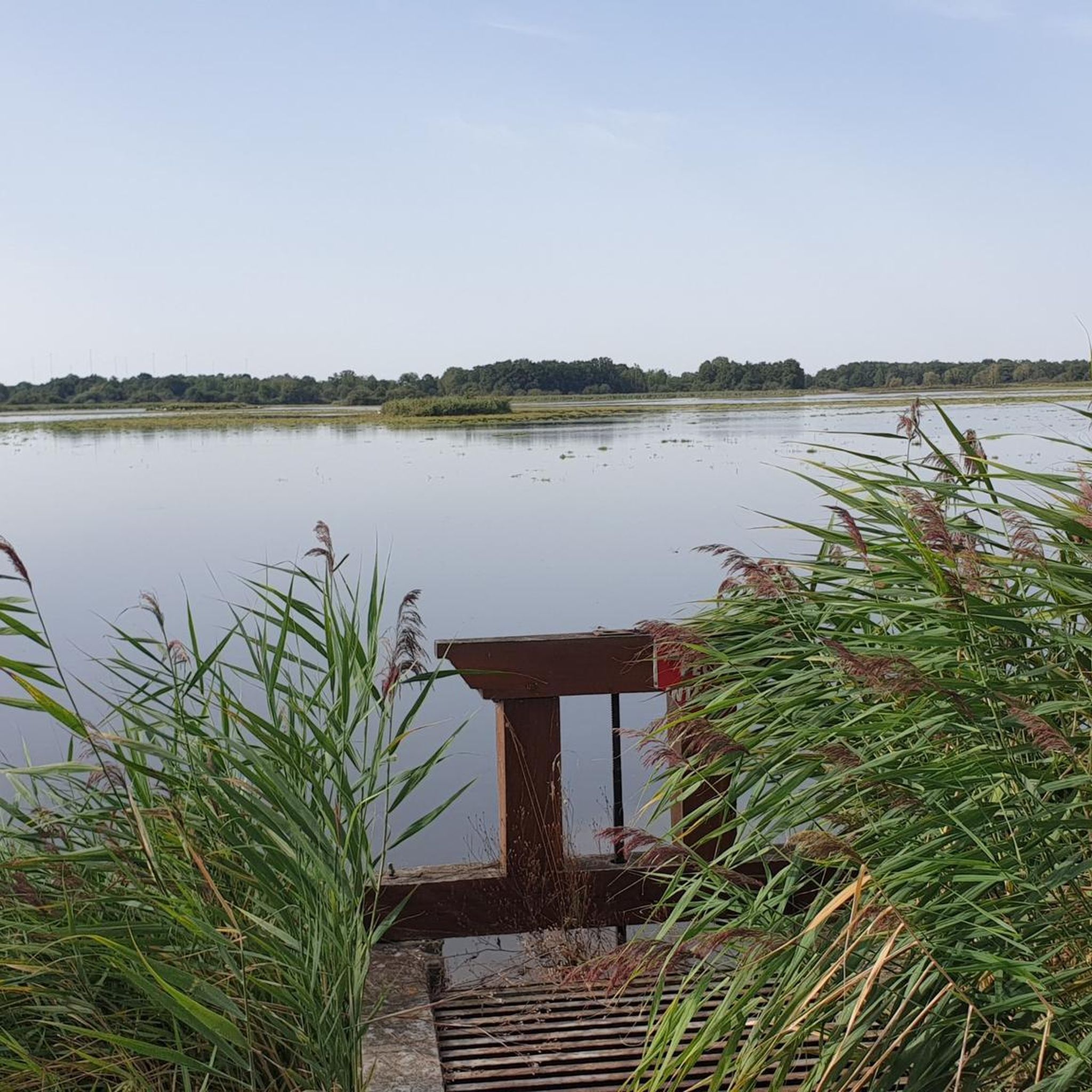
Dogs not allowed. Best time: morning or afternoon/evening. Bring binoculars or telescope.
0
0

Do not take the walk after a wet period. A large part of the paths is heavily flooded.
1
0

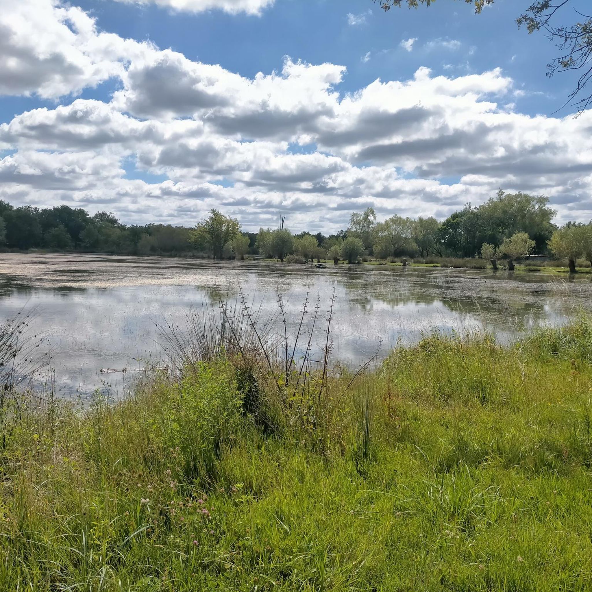
Known for its beach and swimming area, Bellebouche Pond is one of the largest and most beautiful bodies of water in Brenne. The pond is part of a larger site covering a total of 300 hectares of meadows, moors, wasteland, and woods. Three observatories located at the end of the pond and guided excursions allow visitors to discover its natural treasures. The observatory located to the east is recommended for the morning, and the observatories located to the west are recommended for the afternoon. Guided activities are offered seasonally (calendar available upon request). For information: +33 2 54 38 28 28
0
0

Whether you are starting your run around the lake, have just finished it or are looking for a nice place to relax, the sandy beach of Etang de Bellebouche is an ideal place to swim, walk barefoot or simply relax. relax. Sit back and relax.
2
0
Hard to miss, this ancient 11th century fortress stands proudly on a hill of red sandstone and dominates the area around it. Open to visits from April to November, this castle has been completely renovated to make you feel what it was like during its history, especially during the Hundred Years War.
3
0
In the Lac de Bellebouche area (and observing from this observatory), you will find remarkable fauna and flora. About forty rare and protected plants have been identified: Marsh gentian, Umbellum helianthum, chervil-leaved buttercup, etc. The fauna is not the only attraction here, a colony of purple herons has been established for several years at the end of the pond.There is also the European nightjar.It is one of the three observatories located around the lake.
1
0

komootモバイルアプリでインスピレーションを得よう


さらに探索
他の地域の最高のサイクリングルートを見てみましょう。
