パンタデカマラサのおすすめライド
4.7
(13)
940
ライダー
22
ライド
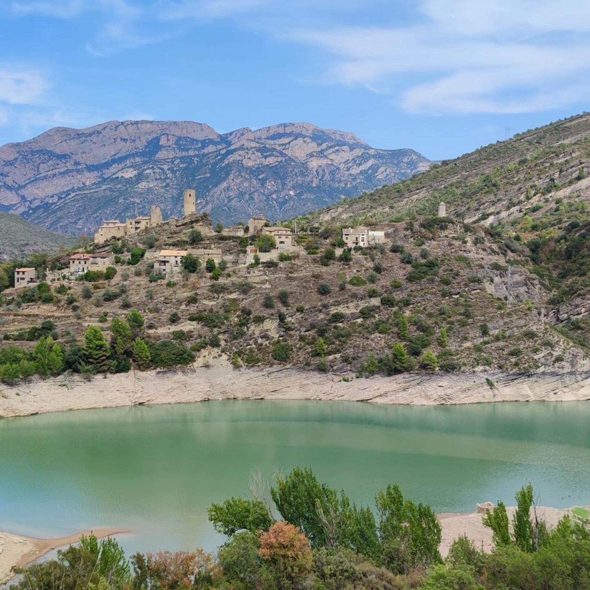
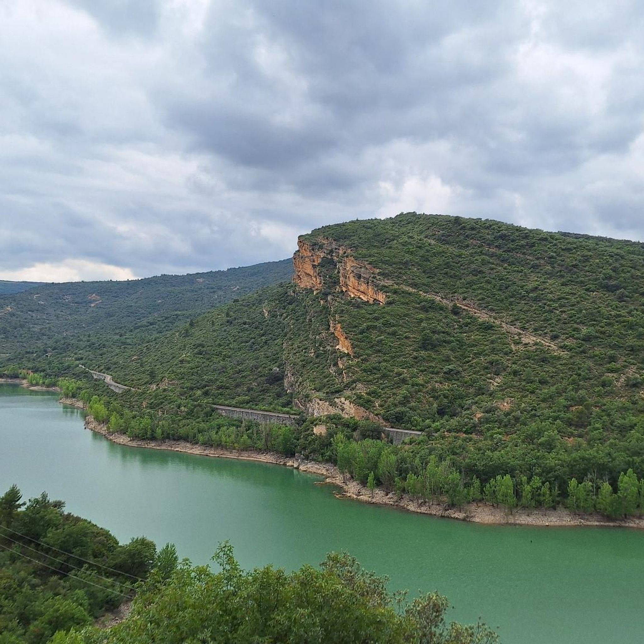
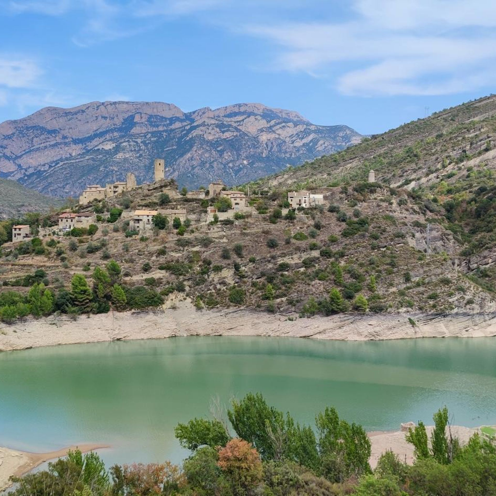
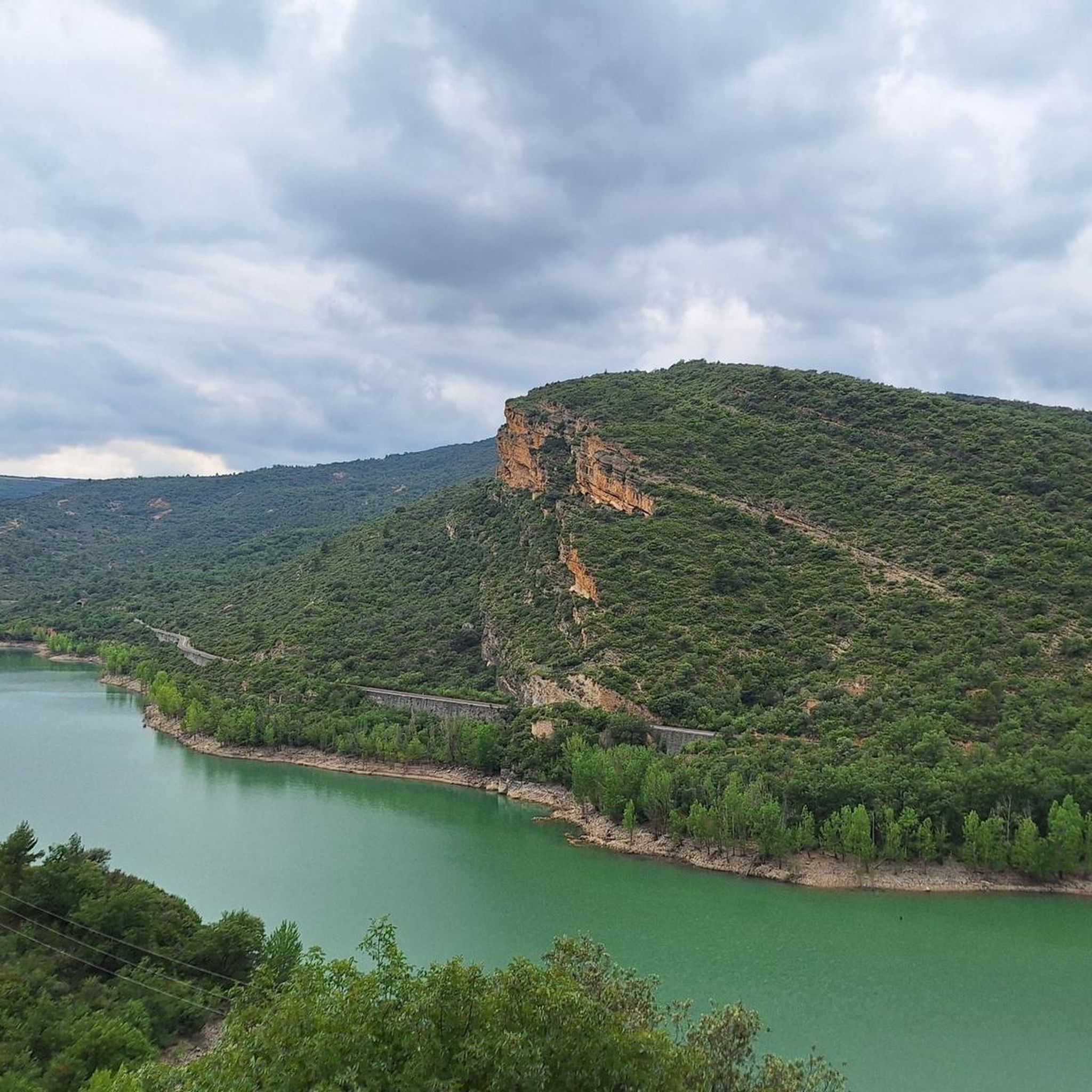
パンタデカマラサ周辺でおすすめのロードバイクルートをお探しですか?ノゲラが誇るこの美しい湖周辺で楽しめるライドを集めたkomootコレクションを参考にしてください。次のアドベンチャーでは、パンタデカマラサの魅力をもっと発見しましょう。
最終更新日: 10月 11, 2026
3
ライダー
63.0km
04:09
1,400m
1,400m
難しいロードライド. 標準以上のフィットネスレベルが必要です。 ツアーの一部に、未舗装のため走行が難しい箇所があるかもしれません。
5.0
(3)
277
ライダー
85.8km
04:35
1,600m
1,600m
難しいロードライド. 標準以上のフィットネスレベルが必要です。 ツアーの一部に、未舗装のため走行が難しい箇所があるかもしれません。

22
ライダー
23.7km
01:14
150m
150m
中程度のロードライド. あらゆるフィットネスレベルに適しています。 ツアーの一部に、未舗装のため走行が難しい箇所があるかもしれません。
9
ライダー
63.1km
03:30
1,350m
1,350m
難しいロードライド. 標準以上のフィットネスレベルが必要です。 ツアーの一部に、未舗装のため走行が難しい箇所があるかもしれません。
4.0
(1)
272
ライダー
125km
06:26
2,090m
2,090m
難しいロードライド. 標準以上のフィットネスレベルが必要です。 ツアーの一部に、未舗装のため走行が難しい箇所があるかもしれません。
さらに多くのルートや他のユーザーのおすすめ情報を確認できます。
すでにアカウントをお持ちですか?
おすすめのツアーは他のkomootユーザーが実際に経験した何千ものアクティビティに基づいています。
無料アカウントで今日から始めよう
次の冒険が待っています。

コミュニティからのヒント

道路沿いの簡単なハイキングコースです。崖と湖のすぐそばを歩きます。非常に印象的です
0
0


Beautiful walk that crosses the dam and continues along its other side.
0
0
This is an area with a beautiful natural landscape, ideal for relaxing and enjoying nature. It's also an idyllic spot for a multitude of leisure activities. Its cliffs make it an attractive spot for climbing enthusiasts. Along the road that runs alongside it, you'll find several picture-postcard views.
0
0

From the main road you cannot appreciate the rustic beauty of this town on the plain of Lleida. It is worth entering the town and walking through the streets of the historic center.
0
0
Next to the Coll d'Ares, it is the most iconic port in the Montsec mountain range and the Lleida Pre-Pyrenees. The views from above, either towards the Pyrenees and the Isona and Tremp valley, as well as the Plana de Lleida, are magnificent. It is a port with 4 aspects, each one different: - The southern slope, which begins in Artesa de Segre, is almost 24 km long and runs along a road with a lot of traffic, very wide and with long straights. After passing the town of Folquer, you face the hardest section of the climb, now with continuous curves and horseshoes, although with a road that is still very wide. The best are the views of the Lleida plain. It is not a side that I like since it is very stinky. - The southeast slope, the one that begins in Pons, is longer than the previous one, with 29 km. It has 2 rest sections, with some descent, and the road is narrow and twisty. There are good views along the climb. This slope joins the southern slope that comes from Artesa de Segre at the height of Folquer, where the hardest 7 km remain until reaching the top of the pass. - The main northern slope begins in Tremp and is 28.2 km. It is similar to the Artesa de Segre slope, with a similar gradient and a wide, busy road with a progressive slope, although it is true that there are no kilometers that reach 7%. I don't like. - The northwest slope, which also begins in Tremp, takes the old road that goes up through the town of Sant Salvador de Toló. It is a climb without traffic, on an irregular asphalt road, one of the old ones, which is grippy and difficult to roll, but in good condition. If you plan to go up to Comiols on the northern slope, you have to do it here and forget about the slope that runs along the main road.
0
0
It is a port in the Montsec mountain range that allows access to the beautiful valley where the town of Àger is located, with imposing vertical mountains that give a lot of charm and spectacularity to the valley, especially in spring where the green of the trees, the red of poppies and the warm yellow of wheat. The port is very stinky on both sides since the road is very wide, normally with 3 lanes, and with long straights, which take away any type of cycling attraction. However, the views from the port, especially towards the Àger valley, are spectacular. I climbed it on the southern slope, the one that begins in Balaguer. From Balaguer it is almost 25 km, with continuous ups, downs and flat areas. The final uphill section is 5.5 km at 6 - 7%, with a rest section when crossing the town of Sant Josep de Fontdepou
0
0

komootモバイルアプリでインスピレーションを得よう


さらに探索
他の地域の最高のロードサイクリングルートを見てみましょう。
