シャンボン湖のおすすめMTBライド
4.0
(22)
152
ライダー
19
ライド
シャンボン湖周辺でおすすめのマウンテンバイクルートをお探しですか?ラ・シャトルが誇るこの美しい湖周辺で楽しめるMTBライドを集めたkomootコレクションを参考にしてください。次のアドベンチャーでは、シャンボン湖の魅力をもっと発見しましょう。
最終更新日: 8月 25, 2026
3.0
(1)
3
ライダー
47.4km
03:52
820m
820m
中程度のマウンテンバイクライド. ある程度のフィットネスレベルが必要です。 あらゆるスキルレベルに適しています。
3.8
(4)
24
ライダー
32.4km
02:43
620m
620m
中程度のマウンテンバイクライド. ある程度のフィットネスレベルが必要です。 あらゆるスキルレベルに適しています。

無料新規登録
6
ライダー
19.6km
01:34
390m
380m
中程度のマウンテンバイクライド. ある程度のフィットネスレベルが必要です。 あらゆるスキルレベルに適しています。
2
ライダー
31.4km
02:20
430m
430m
中程度のマウンテンバイクライド. ある程度のフィットネスレベルが必要です。 あらゆるスキルレベルに適しています。
7
ライダー
67.1km
05:11
1,080m
1,080m
難しいマウンテンバイクライド. 標準以上のフィットネスレベルが必要です。 あらゆるスキルレベルに適しています。
さらに多くのルートや他のユーザーのおすすめ情報を確認できます。
無料新規登録
すでにアカウントをお持ちですか?
おすすめのツアーは他のkomootユーザーが実際に経験した何千ものアクティビティに基づいています。
無料アカウントで今日から始めよう
次の冒険が待っています。
ログインまたは登録
コミュニティからのヒント

ガルジレス川は、フランスにある約22キロメートルの長さの川で、ヌーヴェル=アキテーヌ地域圏とサントル=ヴァル・ド・ロワール地域圏を流れています。その源流は、メアスネの北東の自治体域、標高約398メートルの地点にあります。そこから川は概ね北西に向かって流れ、クルーズ県とインドル県を横断します。最終的に、ガルジレス川は標高約125メートルの地点で、美しい村として知られるガルジレス=ダンピエールの自治体域で、クルーズ川の右支流として合流します。川とその同名の村(フランスで最も美しい村の一つに数えられています)周辺の地域は、その牧歌的で手つかずの自然、そしてハイキングや釣りの人気スポットとして知られています。
10
0

A medieval fortress perched above the meanders of the Creuse River, overlooking Lake Éguzon. A perfect spot to relax, take photos, and enjoy nature and history together.
3
0
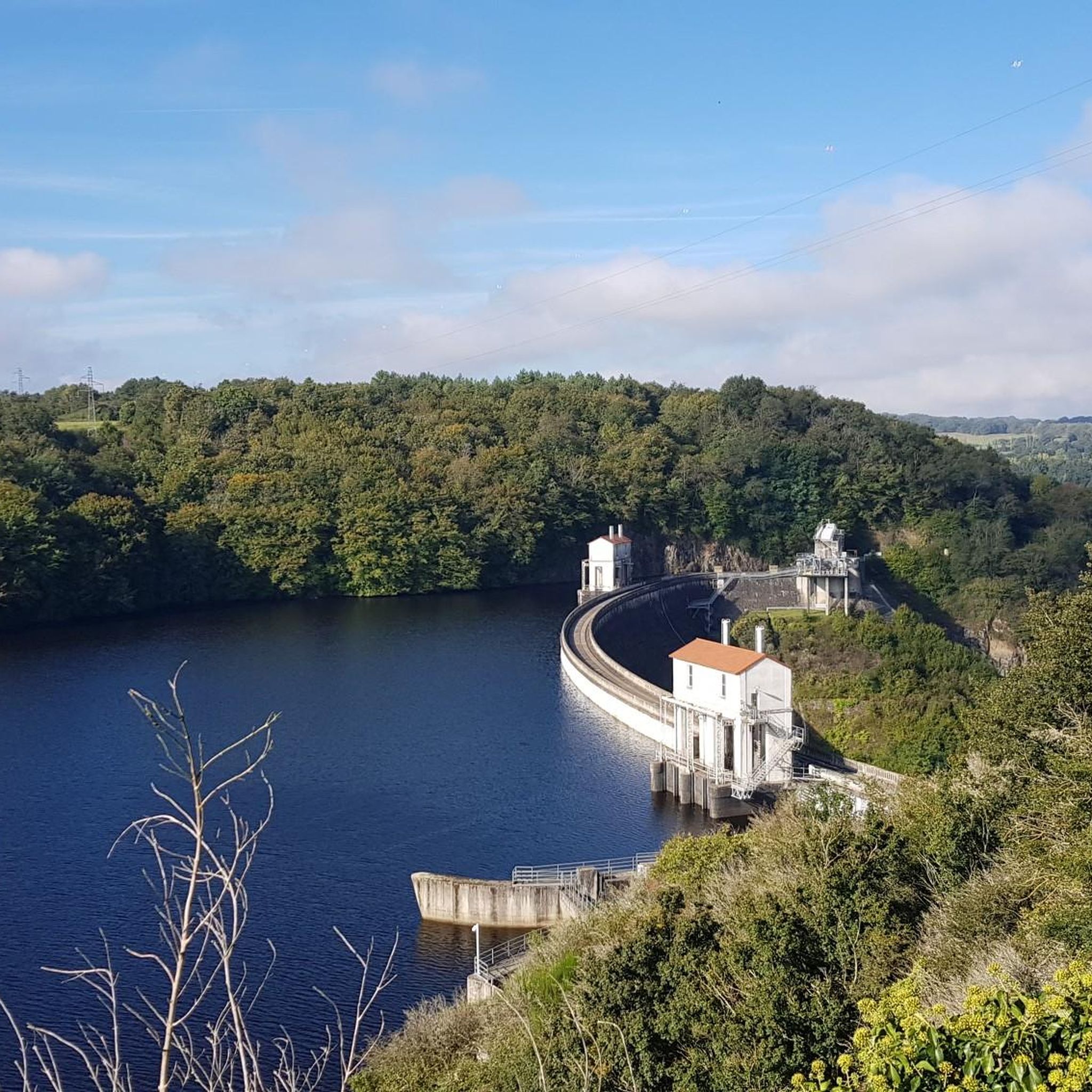
Viewpoint at the Barrage d’Éguzon: impressive views of the dam and lake over the Creuse River. The rushing water and the reflection in the lake create a sense of tranquility and power. A perfect spot to pause and enjoy the combination of nature and technology.
3
0
In the Creuse valley lies the picturesque village of Gargilesse-Dampierre. The village is listed as one of the most beautiful villages in France. And I can see why: the romantic charm of the closely packed houses with their steep, brown-tiled roofs, which surround the castle. Truly artistic, picturesque, and charismatic. It's wonderful to take a walk in this area and have a drink at one of the restaurants. Especially the restaurant at the top, where you have a magnificent view of the village and the castle.
3
0

In muscular requires some bike carrying
0
0

It is impossible to cross the dam. It is a private area that cannot be crossed.
0
0

The view from the fortress into the river valley is breathtaking and this place is worth visiting at least once.
1
0

From the bottom of the dam, you will have to carry the bike, then push to swallow the 80 meters of altitude difference and enjoy the view.
1
0
シャンボン湖でのの人気観光スポット

komootモバイルアプリでインスピレーションを得よう


さらに探索
他の地域の最高のMTBトレイルを見てみましょう。
