バーウッド周辺のアトラクション&必見スポット - トップ20
バーウッドには必見のスポットがたくさんあります。ハイキング愛好家やサイクリング愛好家の方は、ぜひバーウッドを探索してこのエリアにある20
の隠れたスポットを訪れてみてください。このエリアの必見スポットを確認し、次の冒険に出かける計画を立てましょう。
最終更新日: 8月 30, 2026
リングウッド発 キャッスルマン・トレイルウェイ(砂利道)
ハイライト • サイクリングロード
役立つ情報 は

ウィンボーン・ミンスターとチェーンド・ライブラリー
ハイライト • 宗教的な場所
役立つ情報 は

今すぐサインアップして、こんな場所を発見しよう
最高のシングルトラック、ピーク、その他のエキサイティングなアウトドアスポットのおすすめを受け取ろう。
無料新規登録
キャッスルマントレイルウェイ
ハイライト • サイクリングロード
翻訳者 Google •
役立つ情報 は
ムーアズ・バレー森林トレイル
ハイライト • MTBパーク
役立つ情報 は

Bokerley Dyke
ハイライト • トレイル
役立つ情報 は

無料でサインアップして、さらに多くの観光スポットを発見しましょう バーウッドでの。
無料新規登録
すでにアカウントをお持ちですか?
無料アカウントで今日から始めよう
次の冒険が待っています。
ログインまたは登録
コミュニティからのヒント

全体的には素敵な場所ですが、ビジターセンターエリアは非常に混雑することがあります。最初はトレイルを見つけるのが少し難しいと感じました。「犬洗い場」を探し、そのすぐ後に「自転車レンタル」があります。これらはトレイルへのアクセスを見つけるための良い目印です。アクセスは、ビジターセンターの右側で、少し後ろにあります(駐車場からセンターに向かって見た場合)。また、センターからそれほど遠くないPotterne Parkに無料駐車場があることも注目に値します。
0
0


Bokerley Dyke is a substantial linear earthwork, approximately 5.75 kilometers (3.6 miles) long, located on Cranborne Chase. It runs along part of the border between Dorset and Hampshire, specifically between Woodyates and Martin. It is part of a larger Scheduled Monument that also includes Grim's Ditch and other earthworks. The dyke has a multi-period history. It is believed to have originated in the Bronze Age or Early Iron Age as an important political and cultural boundary. In the 1st century, it was cut through by a Roman road, Ackling Dyke, which ran between Old Sarum and Badbury Rings. In the 4th century, the dyke was remodeled and brought back into use. During this period, the Roman road was blocked. A coin of Valens found during excavations dates this activity to shortly after 364 AD, with some sources suggesting it was built between 367-368 AD. This remodeling may have been a defensive measure against attacks on Britain by Picts, Scots, and Saxons. The Roman road was eventually reopened, but the dyke may have continued to be used as a boundary after the Roman administration ended. Today, it still forms part of the border between the counties of Dorset and Hampshire.
0
0

Great traffic free route for the whole family. Bit muddy at times
0
1
Wimborne Minster is the parish church of Wimborne, Dorset, England. The minster has existed for over 1300 years and is recognised for its unusual chained library (one of only a few surviving chained libraries in the world). The minster is a former monastery and Benedictine nunnery, and King Æthelred of Wessex is buried there. The Chained library is located upstairs, up a very windy stone staircase. No lifts to it. Until it was confiscated during Henry VIII's reign, the old Treasury held the wealth of the minster and numerous artefacts such as (reputed to be) a piece of the true cross, wood from the Manger and cloth from the Shroud. Since 1686 it has housed an important chained library. The chained library was one of the first public libraries in the UK, and it remains the second-largest. Some of the collections of the library include a manuscript written on lambskin in 1343, a book bound for the Court of Henry VIII, an incunabulum printed in 1495 on the works of Saint Anselm, and a Paraphrase of Erasmus printed in 1522 with a title page designed by Holbein. The library is run by volunteers and remains open to the public on week days 10.30-12.30 & 2-4 (closed in winter season). The Bells Since 1911 the west tower at the minster has been home to a ring of ten bells. The original tenor bell was housed in the central tower and was cast in 1385. The central tower was considered too structurally weak to add much more additional weight, so in 1464 the west tower was constructed in order to house five bells. In 1629 the tenor bell was recast. Besides the tenor, the minster at this time was home to the 'Bell of St. Cuthburga', 'The Fyfer Bell', 'The Jesus Bell' and 'The Morrow Mass Bell'; presumably all housed in the west tower. In 2012, the bells were augmented to 12 by Whitechapel Bell Foundry, with an additional semitone bell cast to make a total of 13 bells. Tombs The most important tomb in the church is that of King Ethelred, the brother of Alfred the Great. Ethelred was mortally wounded in a battle at Martin, near Cranborne. The exact location of the tomb however is unknown, though sources and legend indicate that it resides somewhere near the altar.
0
0
Lovely open country side with easy terrain
0
0

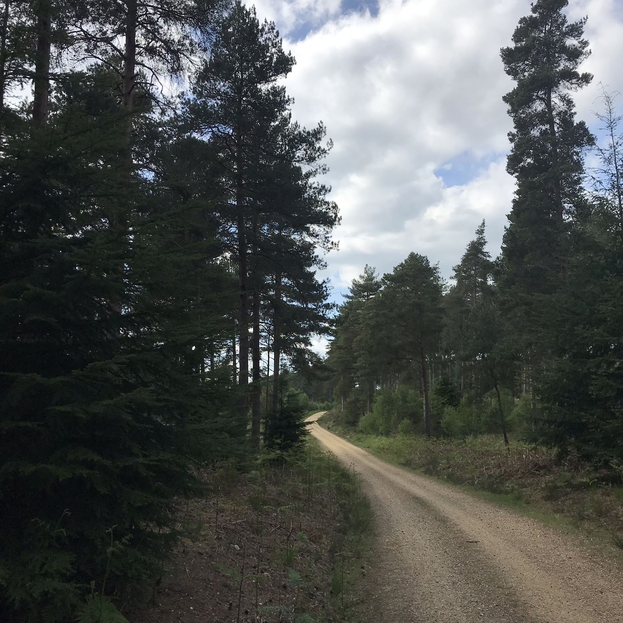
Castleman's Corkscrew Trailway is a walking, cycling and horse riding route that follows much of the old railway line from Southampton to Dorchester. It is named after Charles Castleman, a Wimborne barrister, who was responsible for building the original railway line and was the first to connect Dorset to the wider rail network. The trailway is 16.5 miles long and runs through some of the beautiful East Dorset countryside, with moorland, rivers and woodland. It is also connected to Avon Heath Country Park, Moors Valley Country Park and Upton Country Park.
6
0
Castleman trailway: Travel from Ringwood to Poole along the disused Southampton to Dorchester railway line on this easy cycle and walking route. Route highlights include 3 lovely country parks - Avon Heath Country Park, Moors Valley Country Park and Upton Country Park. The trail runs for a distance of about 15 miles on a fairly flat path so it's a good ride for families or anyone looking for an easy, sheltered walk.
5
0
バーウッドでのの人気観光スポット

komootモバイルアプリでインスピレーションを得よう


さらに探索
まだ探しているハイライトが見つかりませんか?他の地域のトップアトラクションのガイドを見てみましょう:
