タラント・ケインズトンの絶景の山頂・トップ4
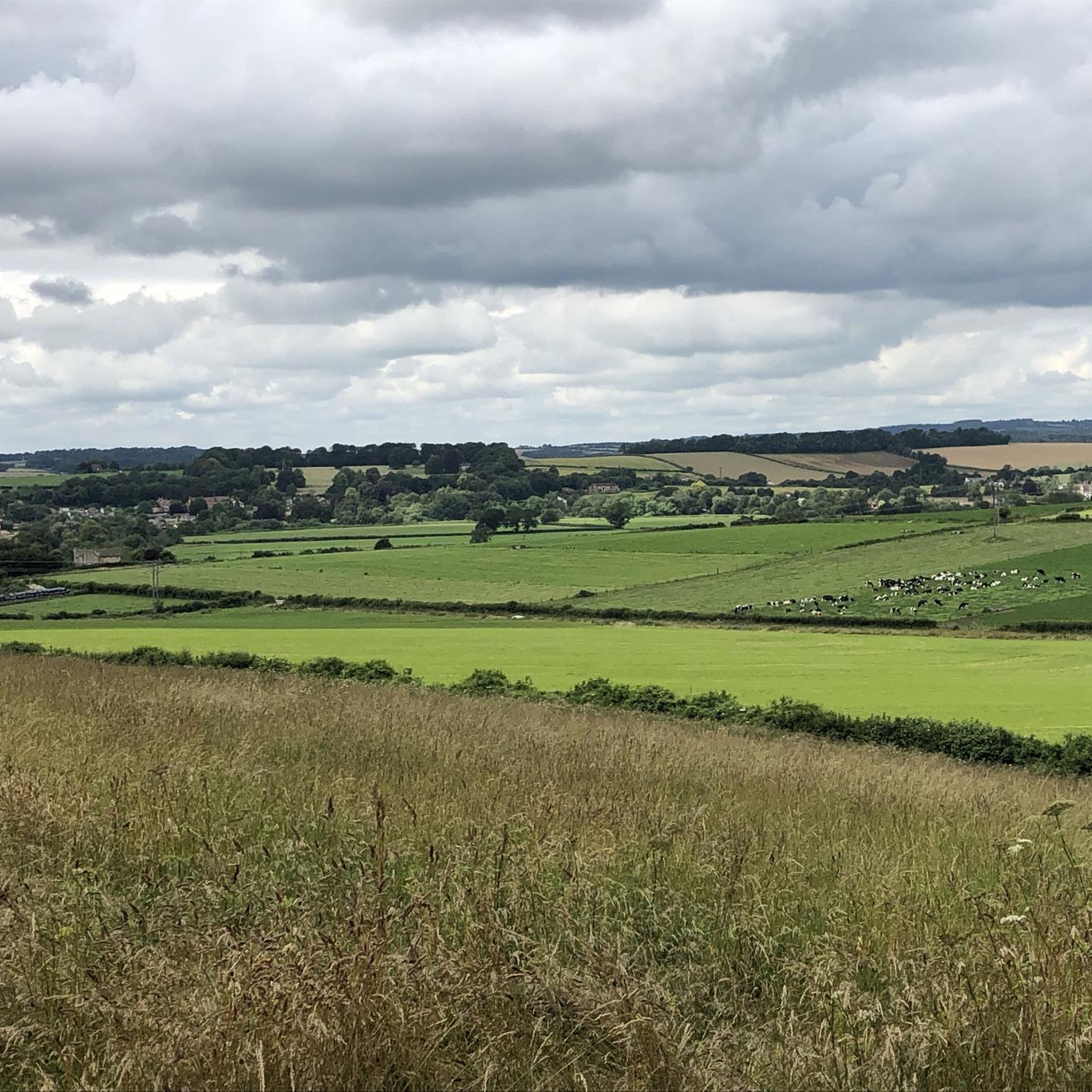
Tarrant Keyneston周辺の最高の山頂は、伝統的な山頂というよりも、なだらかな丘陵地帯と重要な鉄器時代の丘陵砦が特徴です。これらの高台は、歴史的な興味、パノラマビュー、そしてクランボーン・チェイスとウェスト・ウィルトシャー・ダウンズの景観保護区内での探検の機会を提供します。この地域は、古代の土塁とターラント渓谷およびストゥール川渓谷に広がる眺めを通して、過去とのつながりをもたらします。
Tarrant Keyneston周辺の最高の山頂
- 最も人気のある山頂は、イギリスで最も保存状態の良い鉄器時代の丘陵砦の一つとされる展望地、ハンブルドン・ヒル鉄器時代の丘陵砦です。ブラックモア・ヴェールとストゥール川の180メートル以上の上にそびえ立ち、隣接する郡まで広がる眺めを提供します。
- もう一つの必見スポットは、史跡であるハンブルドン・ヒルの城壁です。この場所は、丘の要塞を形成した3つの城壁の規模を明確に示しています。
- 訪問者はまた、展望地であるハンブルドン・ヒルからの眺めも気に入っています。その三角測量点からは、南の鉄器時代の丘陵砦とホッド・ヒルを含むドーセットまで見渡せます。
- Tarrant Keynestonは、鉄器時代の丘陵砦、展望地、そして歴史的な山頂で知られています。これらの場所は、それぞれ歴史的な重要性と景色の良い眺めを持つ、様々な高台を提供しています。
- Tarrant Keyneston周辺の山頂は、komootコミュニティに高く評価されており、訪問者によって53件の「いいね!」と38枚の写真が共有されています。
最終更新日: 9月 18, 2026
ハムブレドン・ヒルの鉄器時代の丘砦
ハイライト • 展望台
役立つ情報 は

ハンブルドン・ヒルの城壁
ハイライト • 歴史的な場所
役立つ情報 は

今すぐサインアップして、こんな場所を発見しよう
最高のシングルトラック、ピーク、その他のエキサイティングなアウトドアスポットのおすすめを受け取ろう。
スぺティスベリー・リングの三角点
ハイライト • 展望台
役立つ情報 は

ホッド・ヒル入口
ハイライト • トレイル
役立つ情報 は

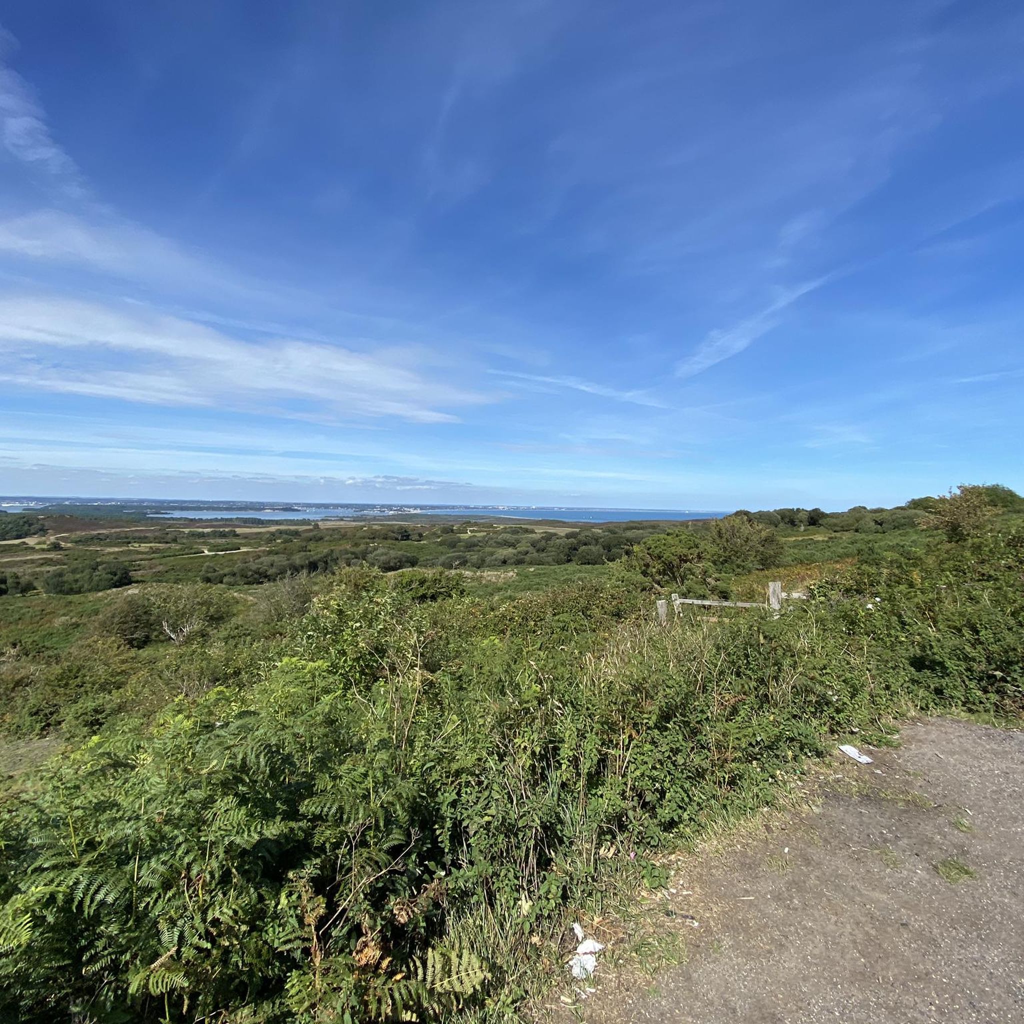
ハンブルドン・ヒルからの眺め
ハイライト • 展望台
役立つ情報 は

無料アカウントで今日から始めよう
次の冒険が待っています。
コミュニティからのヒント

The trig point at Spetisbury Rings is a distinctive feature located on the summit of the ancient Iron Age hillfort, offering excellent panoramic views of the surrounding Dorset countryside and the Stour Valley. Location: The trig point is situated on the highest point of Spetisbury Rings (also historically known as Crawford Castle), an Iron Age hillfort just south of the village of Spetisbury, Dorset. Purpose: A trigonometrical station (or "trig point") is a concrete pillar used by the Ordnance Survey (OS) for the triangulation of Great Britain. They mark a point of high elevation and visibility, which is why they are often found on the summits of hills and mountains. Elevation: The hillfort's summit, where the trig point is located, reaches an elevation of approximately 81 metres (266 feet) above sea level.
0
0

Pop into the cricketers pub before or after your hike it’s in the village (shroton)
0
0
Stunning panoramic views from the trig check out the the Shack nearby for a good pint afterwards
0
0
Nice walking area and the shack has food and drink 😋 🍺
0
0
The hill is now a National Nature Reserve (NNR) with common plants including milkwort, salad burnet, horseshoe vetch, squinancywort, pyramidal orchid and wild thyme. Rarer species include bastard toadflax, meadow saxifrage, early gentian and dwarf sedge. Butterflies include dingy skipper, grizzled skipper, chalkhill blue and Adonis blue. In August 2014, Hambledon Hill fort was acquired by the National Trust for £450,000. The money to buy the hill had come from a Natural England grant and a legacy gift left to benefit Dorset countryside. The hillfort is a Scheduled Monument, as is the adjacent Neolithic causewayed camp.
2
0
Small little car park off the main road. free parking and not busy
0
0
Hambledon Hill is a prehistoric hill fort in Dorset, England, in the Blackmore Vale five miles northwest of Blandford Forum. The hill itself is a chalk outcrop, on the southwestern corner of Cranborne Chase, separated from the Dorset Downs by the River Stour. It is owned by the National Trust. Hambledon Hill is the first in a series of Iron Age earthworks,] which continues with Hod Hill, Spetisbury Rings, Buzbury Rings, Badbury Rings and Dudsbury Camp. The Iron Age port at Hengistbury Head forms a final Iron Age monument in this small chain of sites. The ramparts are a lot longer than you think, amazing fun getting around them all though.
1
0
よくある質問
Tarrant Keyneston周辺で最も際立った高台の地形は何ですか?
Tarrant Keyneston周辺の地域は、伝統的な山頂というよりは、なだらかな丘陵と重要な鉄器時代の丘陵砦が特徴です。主要な高台の地形には、イギリスで最も保存状態の良い丘陵砦の一つとして知られるハンブルドン・ヒル鉄器時代丘陵砦や、広大なパノラマビューを提供するスペッツベリー・リングスがあります。その他の注目すべき場所には、ホッド・ヒル、バズベリー・リングス、バドベリー・リングスがあり、いずれも歴史的な興味と風光明媚な散策を提供します。
これらの高台からはどのような景色が楽しめますか?
これらの丘陵砦の高台からは、広大で絵のように美しい景色が楽しめます。例えば、ハンブルドン・ヒルからは、ブラックモア・ヴェールとストゥア川を見下ろすウィルトシャー州とサマセット州に広がる息をのむような眺望が得られます。同様に、スペッツベリー・リングの三角点からは、ドーセット州の田園地帯とストゥア川渓谷のほぼ360度の景色が望めます。
丘陵砦周辺には、家族向けの散策やハイキングコースはありますか?
はい、家族向けのオプションがあります。ホッド・ヒル周辺のエリアは家族向けとして知られており、鉄器時代の砦とローマ時代のキャンプへのハイキングの出発点となっています。さらに、komootでは「リバー・タラント – タラント・アビー教会と遺跡ループ」のようなルートを含む、タラント・キーネストン周辺の家族向けハイキング専用ガイドも提供しています。
これらの丘陵砦はどのような歴史的意義を持っていますか?
これらの高台は主に鉄器時代に遡る豊かな歴史を持っています。ハンブルドン・ヒル鉄器時代丘陵砦は、イギリスで最も保存状態の良いものの一つと考えられており、象徴的な新石器時代の景観の一部です。ハンブルドン・ヒルの城壁は、古代の要塞の規模を示しており、手ごわい防御砦を形成しています。バズベリー・リングスとバドベリー・リングスも、重要な鉄器時代およびローマ・ブリトン時代の要塞化された陣地であり、地域の過去の住民との具体的なつながりを提供しています。
ハイキングに最適な時期はいつですか?
タラント・キーネストンの丘陵砦周辺エリアは一年中楽しめますが、春と夏はハイキングに最適な時期で、より暖かい気候と活気に満ちた自然の風景が楽しめます。チョークの斜面と森林地帯は、これらの季節に特に美しいです。秋も紅葉が美しい快適なウォーキングシーズンです。冬のハイキングも可能ですが、道がぬかるんでいる可能性があり、天候が予測できない場合があります。
自然保護区や特別な野生生物はありますか?
はい、ハンブルドン・ヒルは国立自然保護区(NNR)であり、イングランドで最も優れた未改良の石灰岩草原の例の一つと考えられています。ここでは、ミルウォート、馬蹄形ベッチ、ピラミッドオーキッドなど、多くの希少な植物種が生息しています。また、ディンギー・スキッパー、チョークヒル・ブルー、アドニス・ブルーなどのチョウが見られるため、チョウ愛好家にとっても素晴らしい場所です。
これらの城砦を訪れる際、どこに駐車できますか?
駐車場はいくつかあります。例えば、ホッド・ヒル入口には、幹線道路から少し入ったところに無料の小さな駐車場があり、散策の便利な出発点となります。他の場所では、現地の駐車場が利用できる場合があり、多くの場合、城砦まで短い散策が必要です。
これらの高台の近くで、他にどのようなアウトドアアクティビティができますか?
ハイキングの他にも、タラント・ケイネストン周辺エリアでは様々なアウトドアアクティビティが楽しめます。ロードサイクリングルートを探索したり、「キャンフォード・ブリッジ – ホワイト・ミル・ブリッジ・ループ」のようなコースを選んだりできます。また、「ノース・ドーセット・トレイルウェイ – ホドウェイ・レーン・トレイル交差点ループ」のようなグラベルサイクリングの機会もあります。
ハイキングの後、近くに食事や飲み物を楽しめる場所はありますか?
はい、軽食や飲み物を楽しめる場所があります。ハンブルドン・ヒルを探索した後、近くのシュロットン村にあるクリケッターズパブを訪れることができます。同様に、スペッツベリー・リングの三角点の近くには、食事や飲み物を提供する「シャック」があり、ハイキング後のビールに最適です。
これらの城砦へのハイキングはどのくらい難しいですか?
これらの城砦へのハイキングは難易度が異なります。多くの道は、様々な体力レベルに適した、簡単から中級とされています。ハンブルドン・ヒルの眺望への登りなど、一部の登りは少し急になることがありますが、小道は一般的にチョークの斜面や森林地帯を含む変化に富んだ地形を通り抜けるアクセスしやすい道を提供しています。
これらの小道に犬を連れて行っても良いですか?
タラント・ケイネストンの城砦周辺の多くの小道は犬に優しいため、愛犬との散歩に最適です。ただし、特にハンブルドン・ヒルの国立自然保護区のような、家畜や繊細な野生生物がいる場所では、常に犬をリードにつないでおくことをお勧めします。
タラント・ケインズトンでのの人気観光スポット

komootモバイルアプリでインスピレーションを得よう


さらに探索
これらのガイドでさらに素晴らしい頂上を見てみましょうタラント・ケインズトンでの:
