リントン周辺のアトラクション&必見スポット - トップ20
リントンには必見のスポットがたくさんあります。ハイキング愛好家やサイクリング愛好家の方は、ぜひリントンを探索してこのエリアにある20
の隠れたスポットを訪れてみてください。このエリアの必見スポットを確認し、次の冒険に出かける計画を立てましょう。
最終更新日: 8月 30, 2026
ウスターシャー・ビーコン山頂と方位盤
ハイライト • 自然記念物
役立つ情報 は

ノースヒル山頂
ハイライト • 自然記念物
役立つ情報 は

今すぐサインアップして、こんな場所を発見しよう
最高のシングルトラック、ピーク、その他のエキサイティングなアウトドアスポットのおすすめを受け取ろう。
無料新規登録
テーブル・ヒル(375m)
ハイライト • 自然記念物
役立つ情報 は

シュガーローフ・ヒル
ハイライト • 自然記念物
役立つ情報 は

ノース・マルヴァーンの時計塔と貯水槽
ハイライト • 歴史的な場所
役立つ情報 は

無料でサインアップして、さらに多くの観光スポットを発見しましょう リントンでの。
無料新規登録
すでにアカウントをお持ちですか?
無料アカウントで今日から始めよう
次の冒険が待っています。
ログインまたは登録

コミュニティからのヒント

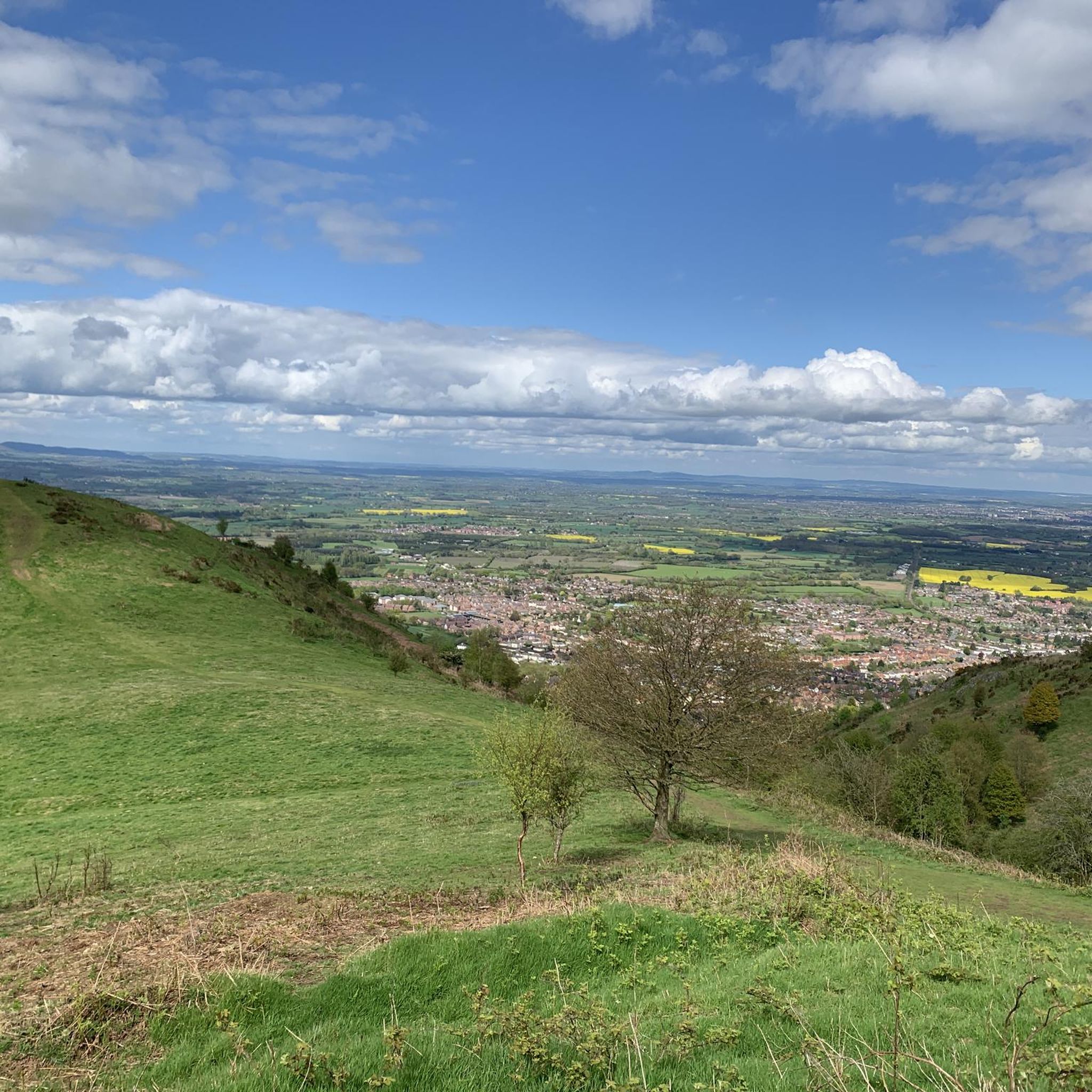
North Hill is a very good viewpoint - but this image was taken on the way up to Table Hill, which is next to North HIll.
0
0
Sugar Loaf hill is to be recommended, but unfortunately the hill in the centre of this picture is North Hill. Sugar Loaf Hill is on the extreme left of the picture, just about in shot.
0
0
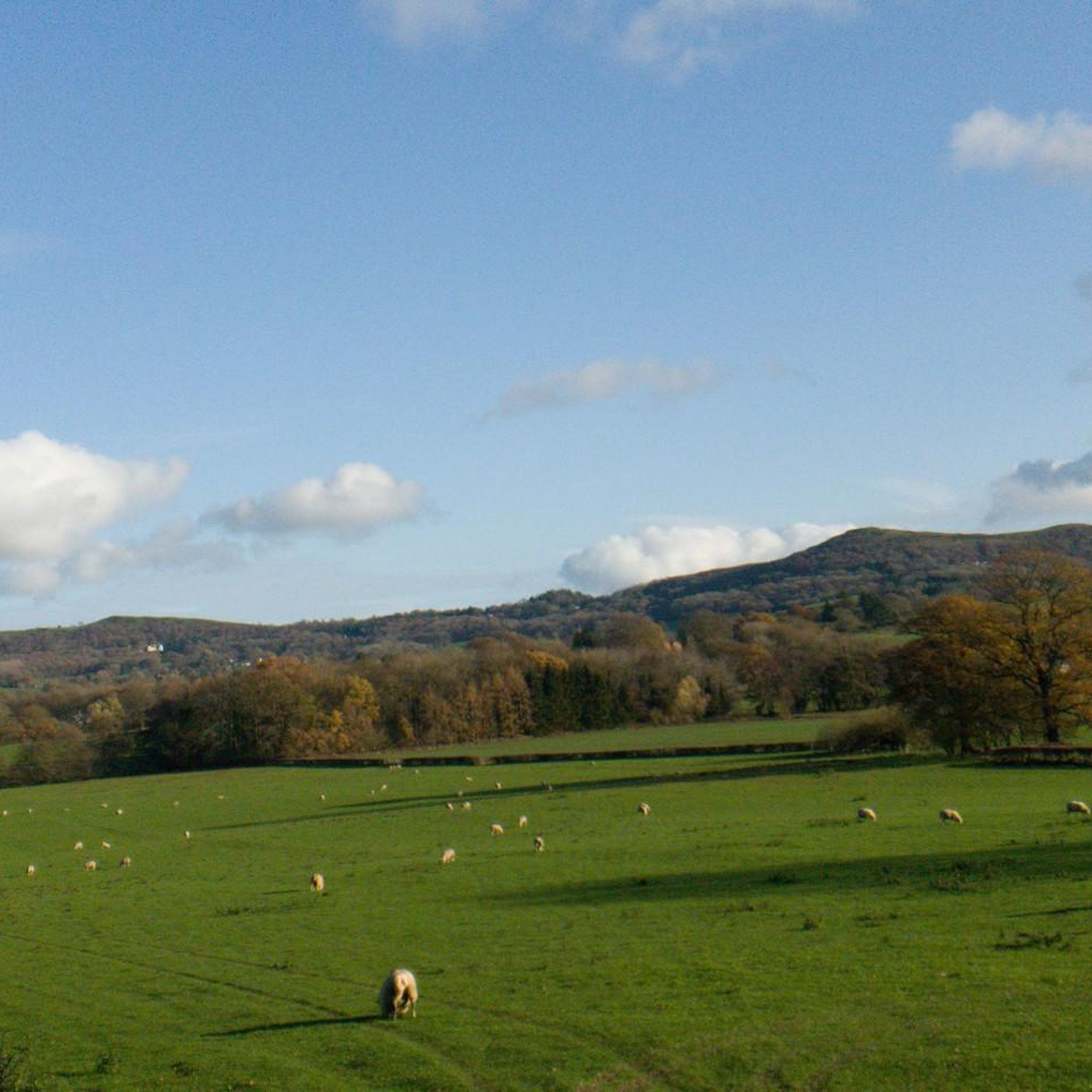
Between North Hill and The Beacon (and Sugar Loaf Hill) this flat topped hill can get overlooked, but it does afford great views of the Beacon, and is photogenic in it's own right when covered in snow.
0
0

North Hill is the second highest point of the range of Malvern Hills that runs about 13 kilometres (8.1 mi) north-south along the Herefordshire-Worcestershire border, although North Hill lies entirely within Worcestershire. It has an elevation of 397 metres (1,302 ft), making it the highest point of the Worcestershire Way. The eastern flank of the hill lies directly behind Worcester road in Great Malvern from where its summit is a brisk 15 – 20 minutes steep walk from the town centre via St Ann's road and Happy Valley. A path from the car park in North Malvern follows the lower contour of North Hill to Happy Valley and St. Ann's Well. Although the flint route from North Wales to Wessex lay to the north of Malvern, there is some evidence to suggest that traders passed over the Malvern Hills. Parts of an arrowhead, scraper and flint flakes have been discovered between the North Hill and Table Hill. A 19th-century guide book describes both a collapsed burial mound on North Hill named the Giant's Grave and a tump on Table Hill. These tumuli may have been connected to the Dobunni settlement in Mathon. A track that runs along North Hill was known as the "Pyx Path" and was used by the priest from Worcestershire when bringing Sacrament to the hermits that lived in Malvern in the 11th Century. It was also referred to as the "Pixie Path", as it was believed to be used by fairies. The Lodge spring can be found at the foot of North Hill, off Worcester road. The ornamental fountain has a small spout and basin that is similar in design to those at St Ann's Well.
1
0
Table Hill is situated in the range of Malvern Hills that runs about 13 kilometres (8 mi) north-south along the Herefordshire - Worcestershire border. It lies between North Hill and Sugarloaf Hill and has an elevation of 373 metres (1,224 ft). Although the flint route from North Wales to Wessex lay to the north of Malvern, there is some evidence to suggest that traders passed over the Malvern Hills. Parts of an arrowhead, a scraper and flint flakes have been discovered between North Hill and Table Hill. A 19th-century guidebook describes a collapsed burial mound on North Hill, named the Giant's Grave, and a tump on Table Hill. These tumuli may have been connected to the Dobunni settlement in Mathon: Upon the Table Hill, you will perceive the figure of a large table, from which the name is derived. In the centre is a cross, of the same size as that by the Giant's Grave, upon North Hill. Source: Wikipedia
0
0
Sugarloaf Hill lies between the Worcestershire Beacon and North Hill in the range of Malvern Hills that runs about 13 kilometres (8 mi) north-south along the Herefordshire - Worcestershire border. The summit of Sugarloaf Hill is 368 metres (1,207 ft) above sea level and is a popular peak usually passed by walkers hiking between the Worcestershire Beacon and North Hill — respectively the highest and second highest Malvern Hills summits.
0
0

Nice place with spectacular views.
3
0

Enjoy another excellent view from the top of Sugarloaf Hill, a 368m hilltop located in the beautiful Malvern Hills in Worcestershire.
1
0
リントンでのの人気観光スポット

komootモバイルアプリでインスピレーションを得よう


さらに探索
まだ探しているハイライトが見つかりませんか?他の地域のトップアトラクションのガイドを見てみましょう:
