ビジャカスティン周辺のアトラクション&必見スポット - トップ20
ビジャカスティンには必見のスポットがたくさんあります。ハイキング愛好家やサイクリング愛好家の方は、ぜひビジャカスティンを探索してこのエリアにある20
の隠れたスポットを訪れてみてください。このエリアの必見スポットを確認し、次の冒険に出かける計画を立てましょう。
最終更新日: 10月 15, 2026
La Escondida
ハイライト (セグメント) • サイクリングロード
翻訳者 Google •
役立つ情報 は

プエルト・デ・ラ・ランチャ
ハイライト • 山道
翻訳者 Google •
役立つ情報 は
今すぐサインアップして、こんな場所を発見しよう
最高のシングルトラック、ピーク、その他のエキサイティングなアウトドアスポットのおすすめを受け取ろう。
クエバ・ミングベラの岩絵
ハイライト • 洞窟
翻訳者 Google •
役立つ情報 は

三県記念碑(マドリード、セゴビア、アビラ)
ハイライト • 記念碑
翻訳者 Google •
役立つ情報 は

カニャーダ・レアル・ソリアナ・オクシデンタル
ハイライト (セグメント) • トレイル
翻訳者 Google •
役立つ情報 は

無料でサインアップして、さらに多くの観光スポットを発見しましょう ビジャカスティンでの。
すでにアカウントをお持ちですか?
無料アカウントで今日から始めよう
次の冒険が待っています。

コミュニティからのヒント

Mingubela Cave, also known as Peña Mingubela, is a fascinating rock shelter located near the small village of Ojos Albos in Ávila, Spain. This site is known for its ancient cave paintings, which depict various figures, including warriors, some of whom are shown holding shields or in prayer positions. The cave is divided by a stone column, which adds to its unique structure. If you are interested in visiting, it is important to note that the cave is only accessible on foot and the path can be quite steep, so it is advisable to bring a flashlight and seek precise directions from locals. Additionally, there are several hiking trails in the area, such as the circular trail from Ojos Albos that includes La Atalaya and Mingubela Cave.
5
0

In Urraca-Miguel we enter Western Soriana and follow the Cañada Real to the streets of Ávila. The surface of the livestock trail is paved and reserved for pedestrians and cyclists, perfect for ending a fantastic day of mountain bike tourism. The ravine passes through Bernuy-Salinero, where the Prado de las Cruces dolmen is located, a notable site of the megalithic culture in Ávila declared a Site of Cultural Interest. The little road of the canyon crosses the hills of Canto Campanario and finally enters Ávila enjoying extraordinary views of the immense plain of the Chico and Cardiel rivers. We passed through the railway station, went up to the gates of the wall, photos and celebration of an unforgettable cycling day.
1
0
The crossing of the Malagón mountain range has several options and I look for livestock trails, forests, fountains and significant places that have roads with rights of way. Between Las Navas del Marqués and Navalperal de Pinares we continue halfway down the slope through the pastures of Cantos Gordos, with a strategic refreshment stop at the Fuente de Peña Cigüete. In summer it is essential to pass through hydration points along the route. In Navalperal de Pinares the yellow arrows of a Camino de Santiago appear but I do not discover the exact route and we follow our initial plan along the rural road that leads to the Navalperal reservoir, linking with the Cañada Real Leonesa on the edge of the reservoir. The climb up the ravine is beautiful, there is the little lake next to the road and in front of it is a splendid plain of mountain pastures populated by herds of cows and horses, an authentic image of the mountain ranges of Ávila. The rope of the mountain range is bristled with wind turbines that serve as a reference during the climb because it is about following the route of the royal ravine to the path of the modern “windmills”. The surface is complicated throughout the climb, they are mountain cattle trails with stones, ditches and grass areas that make pedaling difficult, especially for cyclists carrying gravel bicycles. On the other hand, along the gravel path of the mills the bicycles fly along the mountain range until the Valdi Wind Farm ends and a broken and steep section of track appears that connects with the Valdihuelo Wind Farm. The mountain crossing continues until the last wind turbine and after passing a new gate the descent towards Urraca-Miguel begins. Pay attention to the track on grassy meadows. The beginning of the descent is a fairly steep cattle track with water furrows and grass stumps, then it enters the pastoral plain of Peñaluenga and turns west along cow trails to a hill where it connects with the rural road that goes down to Urraca -Miguel.
1
0

On the other side of the Arroyo del Corral is this well-known cave where cave paintings are found. Just above it, we can find Peña de la Mora.
0
1
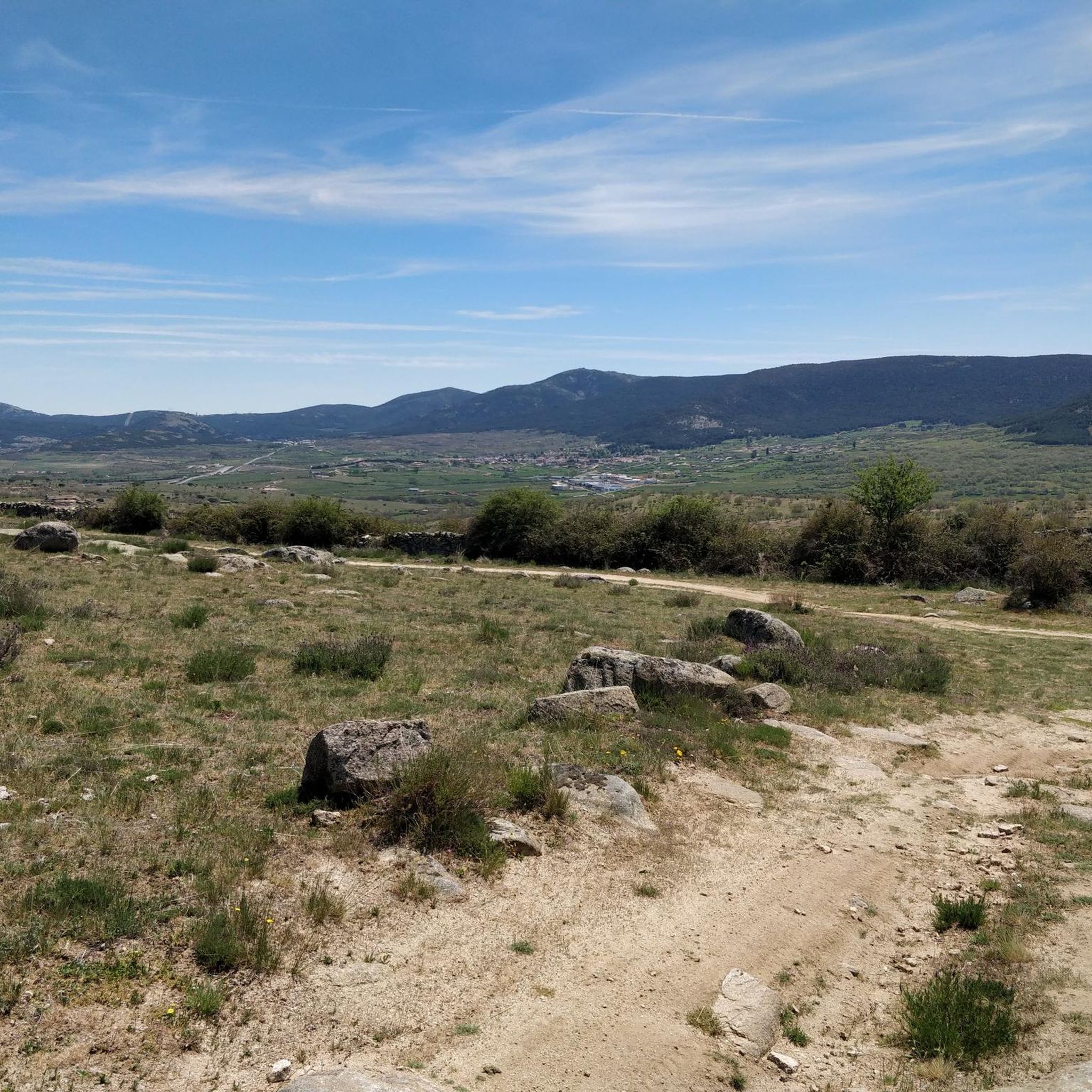
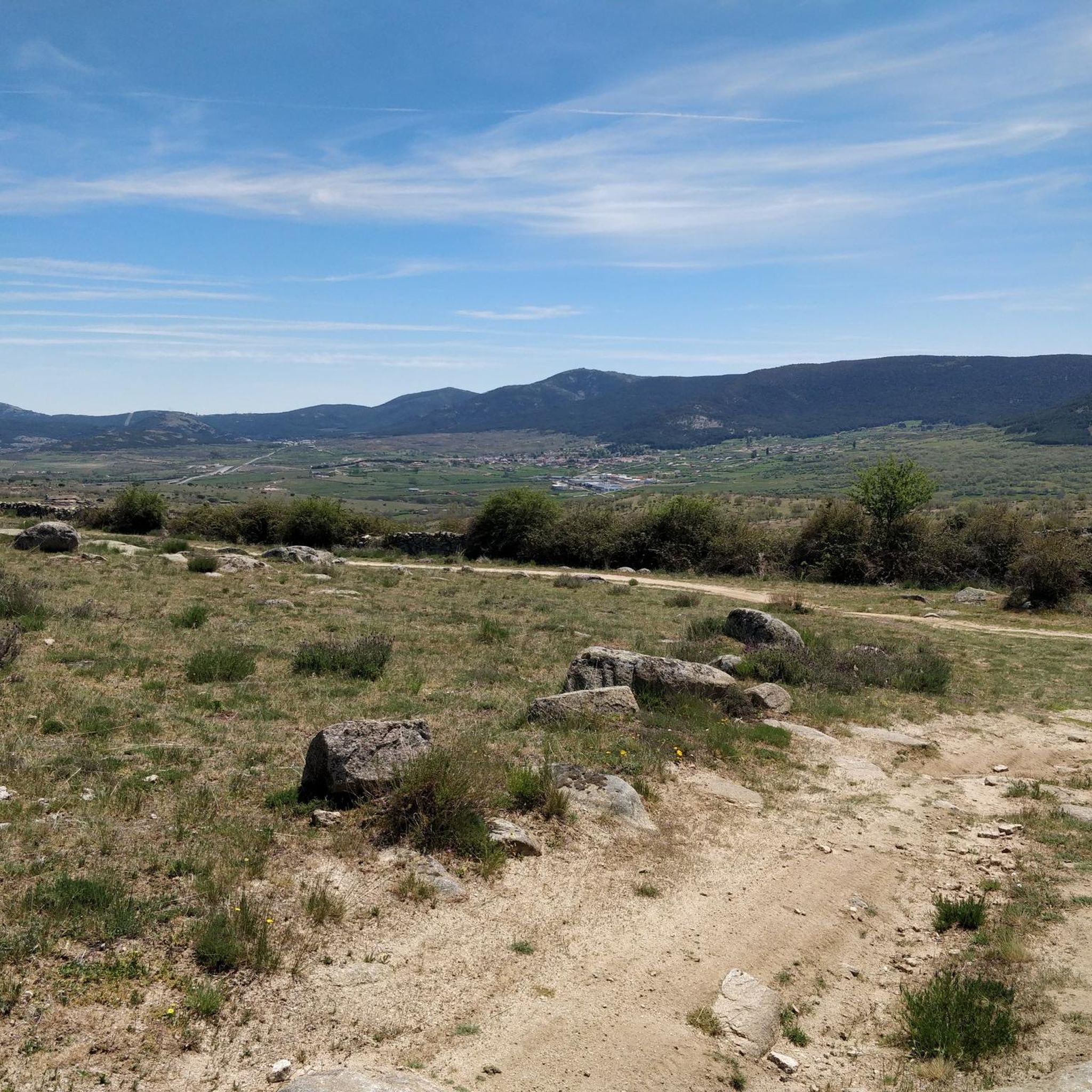
In the middle of the Sierra de Ojos Albos is a mountain at the foot of which, hidden, is this cave with ancient rock paintings. The peak is called Peña de la Mora and the cave in the direction of Arroyo del Corral Hondo.
2
0

In 1974 these exciting cave paintings were discovered, drawn by the different prehistoric populations that occupied the place. I leave the bike on the road to get closer to the paintings and see them closer and observe each of the details, as well as inform myself thanks to the panel that is in place.
1
0
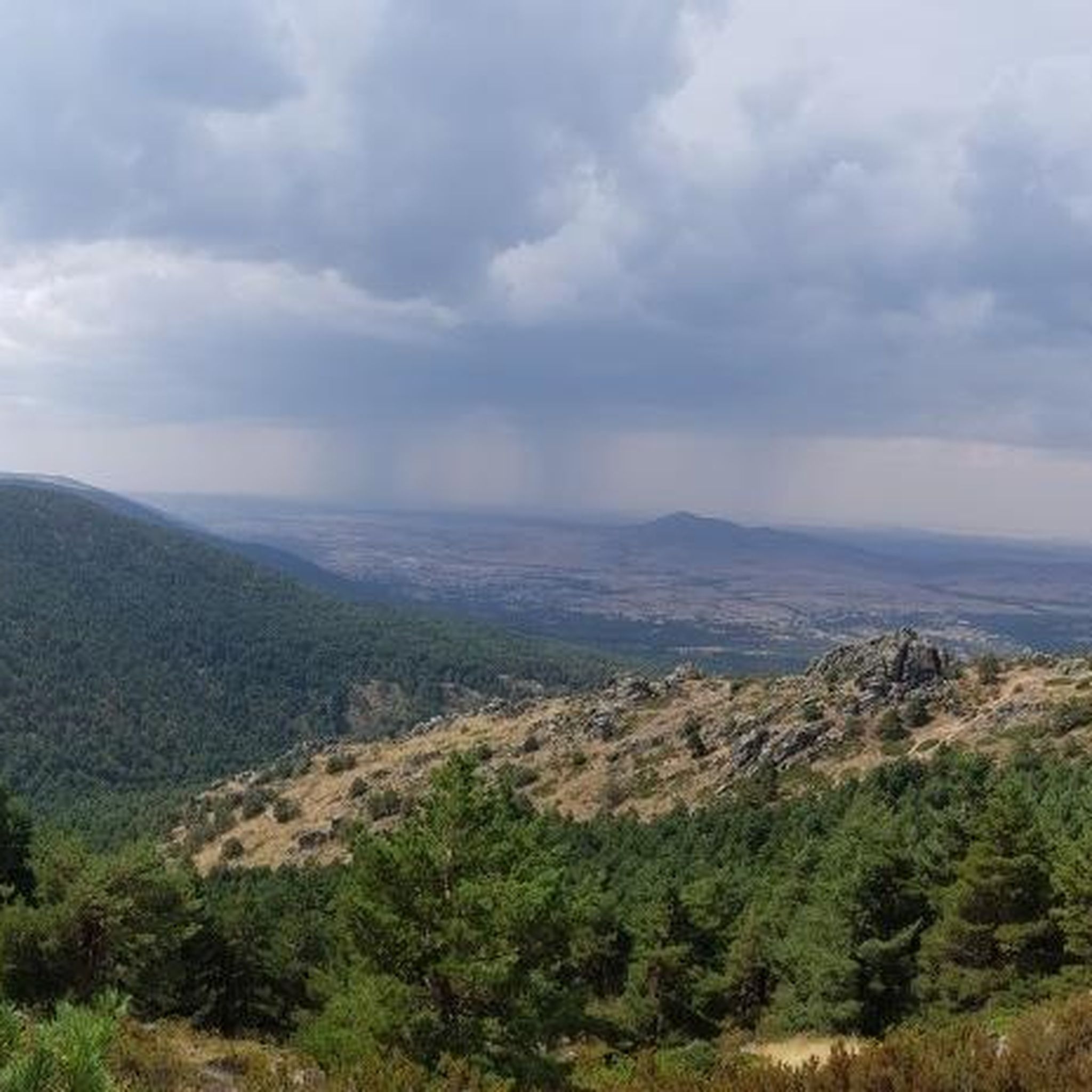
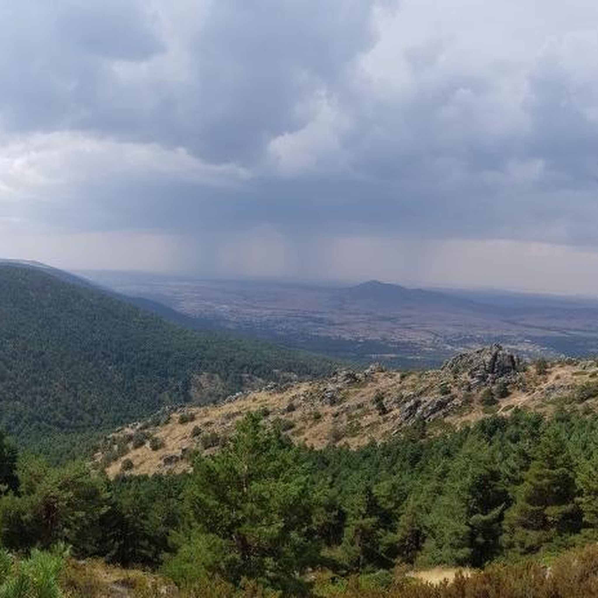
Beautiful mountain pass located in the Sierra de Guadarrama and joining La Cruz de Hierro port, together with La Lancha, create a tough but beautiful route!
0
0
A road that perplexes everyone who passes by bicycle, since it goes down, there was the nucleus of Valdemaqueda. The pine forests converge in a typical landscape of these areas of the plateau.
0
0
ビジャカスティンでのの人気観光スポット

komootモバイルアプリでインスピレーションを得よう


さらに探索
まだ探しているハイライトが見つかりませんか?他の地域のトップアトラクションのガイドを見てみましょう:
