チャンタダのおすすめライド
4.7
(3)
148
ライダー
24
ライド
チャンタダ周辺のロードバイクルートをお探しですか?ここでは、komootが提供するチャンタダでのロードバイクライドのコレクション全体を評価して選び抜いた人気ルートをご紹介します。各ライドの詳細をぜひご覧ください。
最終更新日: 8月 31, 2026
5
ライダー
71.5km
04:13
1,730m
1,730m
難しいロードライド. 標準以上のフィットネスレベルが必要です。 全般的に舗装状態が良好で走行しやすい道です。
5.0
(1)
2
ライダー
48.4km
02:53
1,110m
1,110m
Challenging 30.1-mile road cycling route near Chantada, featuring a tough climb to Monte Faro and panoramic views.

無料新規登録
1
ライダー
95.8km
04:47
1,540m
1,540m
難しいロードライド. 標準以上のフィットネスレベルが必要です。 全般的に舗装状態が良好で走行しやすい道です。
19
ライダー
69.5km
03:38
1,200m
1,200m
難しいロードライド. 標準以上のフィットネスレベルが必要です。 全般的に舗装状態が良好で走行しやすい道です。
10
ライダー
71.8km
03:32
1,010m
1,010m
難しいロードライド. 標準以上のフィットネスレベルが必要です。 全般的に舗装状態が良好で走行しやすい道です。
さらに多くのルートや他のユーザーのおすすめ情報を確認できます。
無料新規登録
すでにアカウントをお持ちですか?
おすすめのツアーは他のkomootユーザーが実際に経験した何千ものアクティビティに基づいています。
無料アカウントで今日から始めよう
次の冒険が待っています。
ログインまたは登録
チャンタダ周辺で人気
コミュニティからのヒント

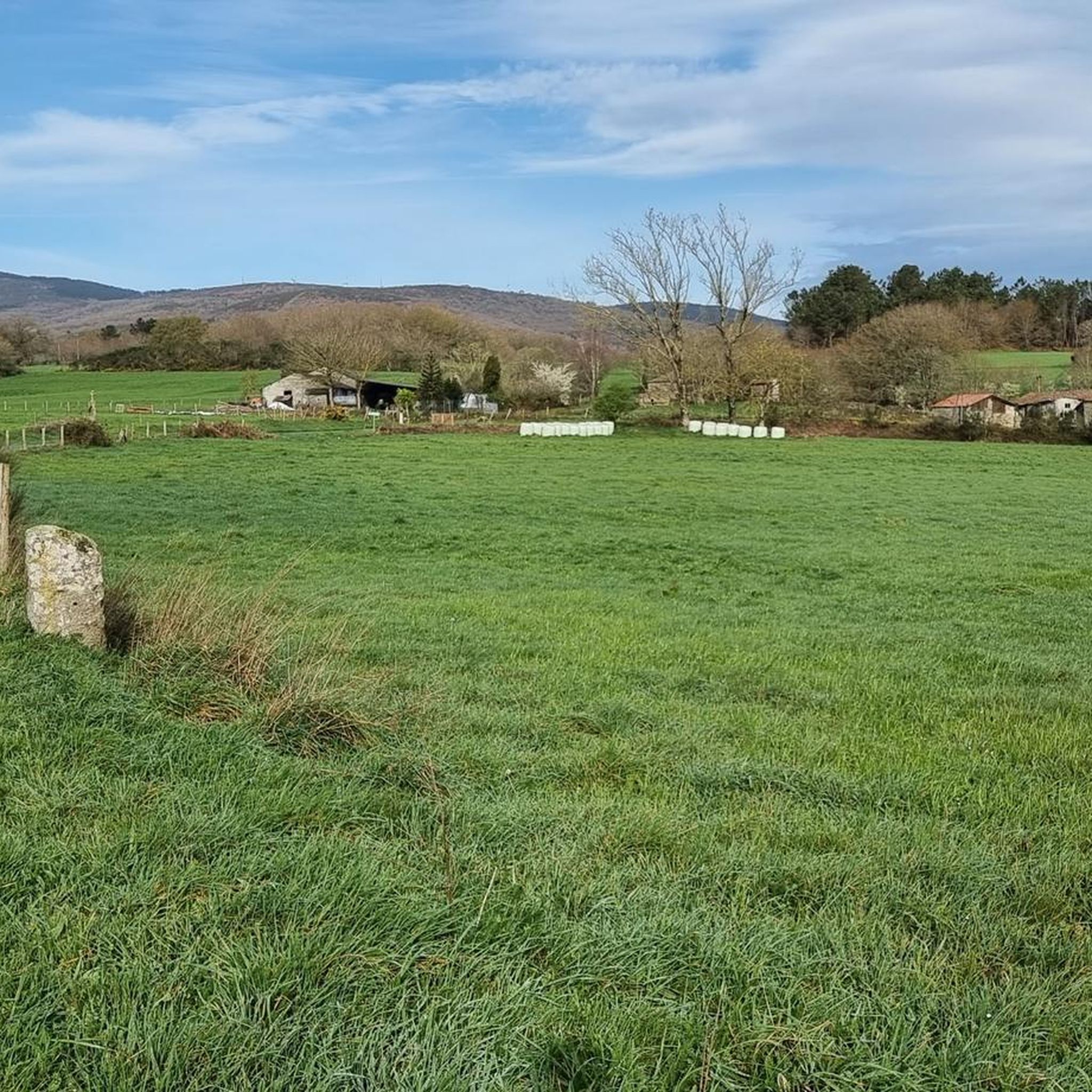
Exceptional place for cycling, with good views and little traffic
0
0
Exceptional place for cycling, with good views and little traffic
0
0

The hermitage and recreational area at the top offer wide panoramic views. Furthermore, according to calculations made by César Parcero, a CSIC scientist, Monte Faro is the most visible point in Galicia, from where a larger area of the territory can be observed. A stunning place to enjoy nature and views! 🌄
8
0
Monte Faro (also known as Monte do Faro) is the highest peak in the Faro mountain range, with an altitude of 1,187 meters. This natural area is declared a special area of conservation (ZEC). The mountain marks the limit of natural separation between the municipalities of Chantada and Rodeiro, and from its summit you can see the four Galician provinces
8
0

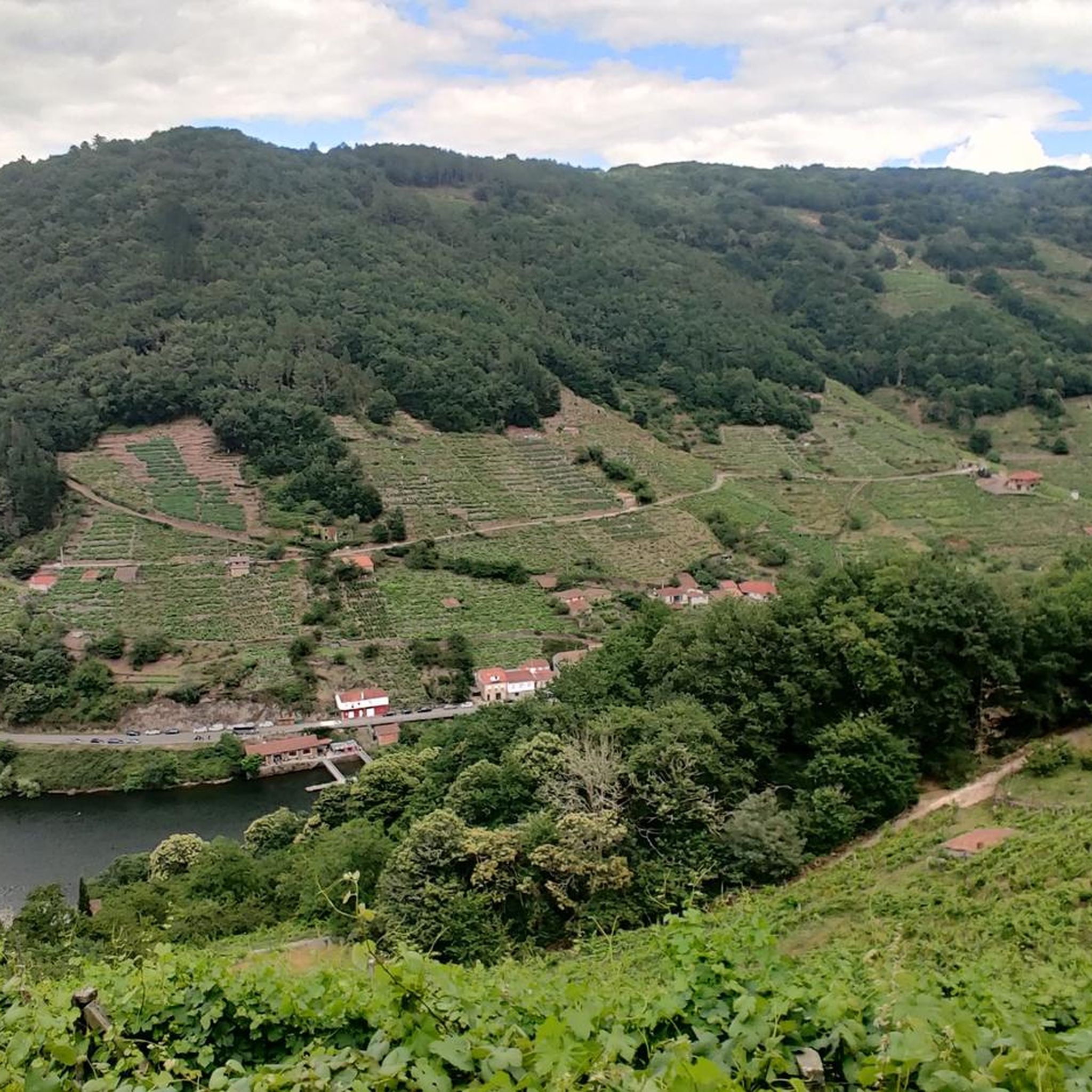
Tall waterfall through the jagged rocky landscape carved by nature through the centuries in the Mino river basin.
3
0
Chantada is a regional commercial city located on the left bank of the Asma River, halfway along the commercial route between Ourense and Lugo.
4
0
Steel bridge over the Belesar reservoir over the Miño river in the Ribera Sacra natural park. When the water levels are low you can see the old submerged bridge.
2
0
チャンタダでのの人気観光スポット

komootモバイルアプリでインスピレーションを得よう


さらに探索
他の地域の最高のロードサイクリングルートを見てみましょう。
