マニャリア周辺のアトラクション&必見スポット - トップ20
マニャリアには必見のスポットがたくさんあります。ハイキング愛好家やサイクリング愛好家の方は、ぜひマニャリアを探索してこのエリアにある20
の隠れたスポットを訪れてみてください。このエリアの必見スポットを確認し、次の冒険に出かける計画を立てましょう。
最終更新日: 9月 13, 2026
ウルキオラの聖域
ハイライト • 宗教的な場所
翻訳者 Google •
役立つ情報 は

アンボト(1331 m)
ハイライト • 山頂
翻訳者 Google •
役立つ情報 は

今すぐサインアップして、こんな場所を発見しよう
最高のシングルトラック、ピーク、その他のエキサイティングなアウトドアスポットのおすすめを受け取ろう。
アルト・デ・ムニケタ(モンテカルボ)
ハイライト • 山道
翻訳者 Google •
役立つ情報 は

アルト・デ・サラソラ
ハイライト • 山道
翻訳者 Google •
役立つ情報 は


無料アカウントで今日から始めよう
次の冒険が待っています。


コミュニティからのヒント


あらゆる好みに合う美しい場所 山歩き、サイクリング、子供連れに、ブランコのある公園も
0
0


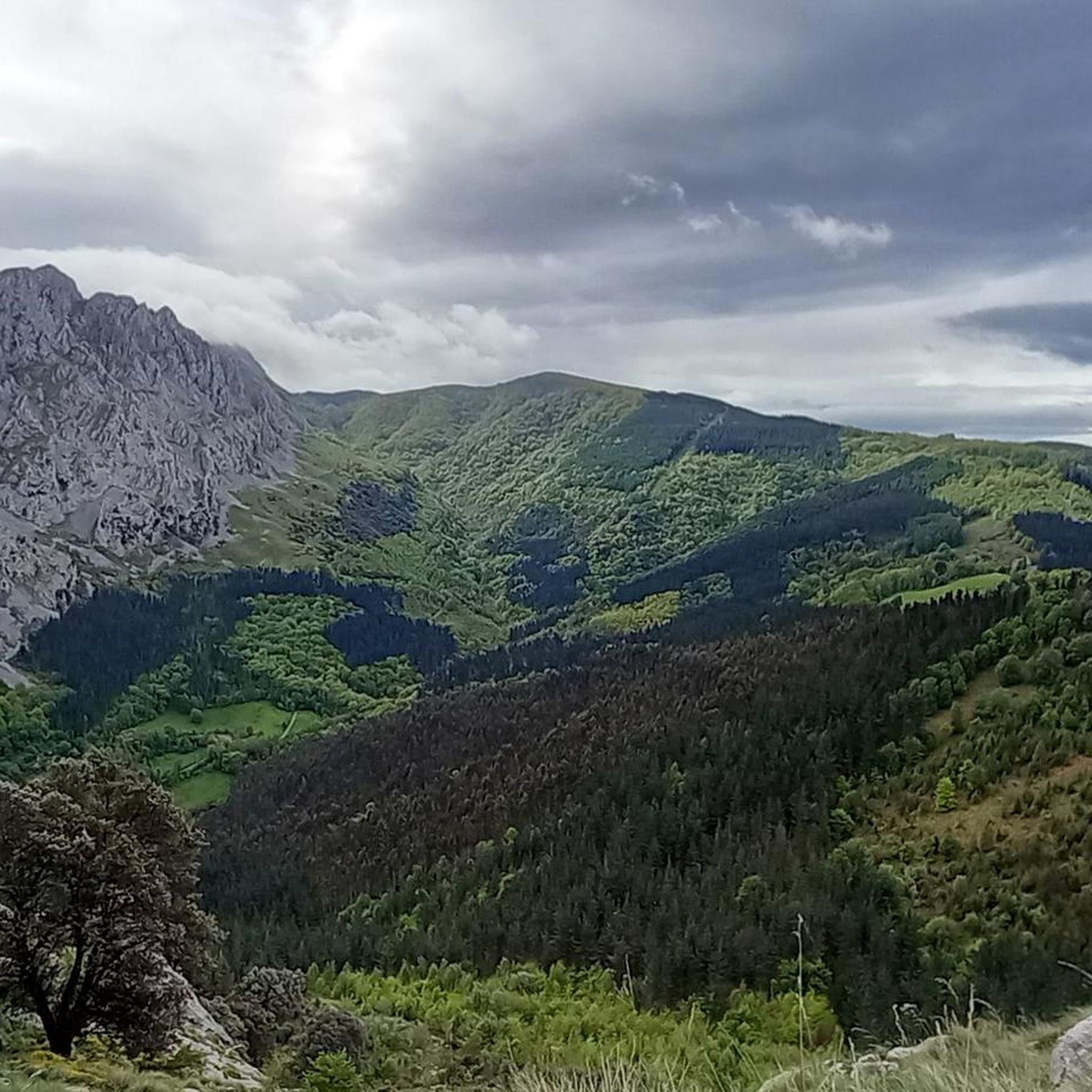
With just over 1,000 meters of altitude, this simple, rounded summit dominates the Mendiola valley. Enjoy the views!
3
0

The BI-3524 regional highway connects the towns of Ugao-Miraballes and Artea, crossing the municipality of Zeberio. It is a conventional two-way road with a variable road width of about six meters and has a winding layout, with very tight curves. The section of road on which action has been taken begins before reaching the Olatxu neighborhood, in Zeberio, P.K. 15+800, and ends at the station. 26+060, coinciding with the intersection with the BI-3513 highway, in the municipality of Artea. There are two sections of this road transferred to the municipalities in which no action has been taken; a section of 840 meters in the Olatxu neighborhood and another of 1,300 meters in the urban center of Zubialde.
0
0

Montecalvo is located at an altitude of 381 meters, offering impressive views of the sea and Urdaibai on one side and Duranguesado on the other. The Muniketa road was the main communication route south through Durango until 1848, when the Autzagane road was improved.
1
0

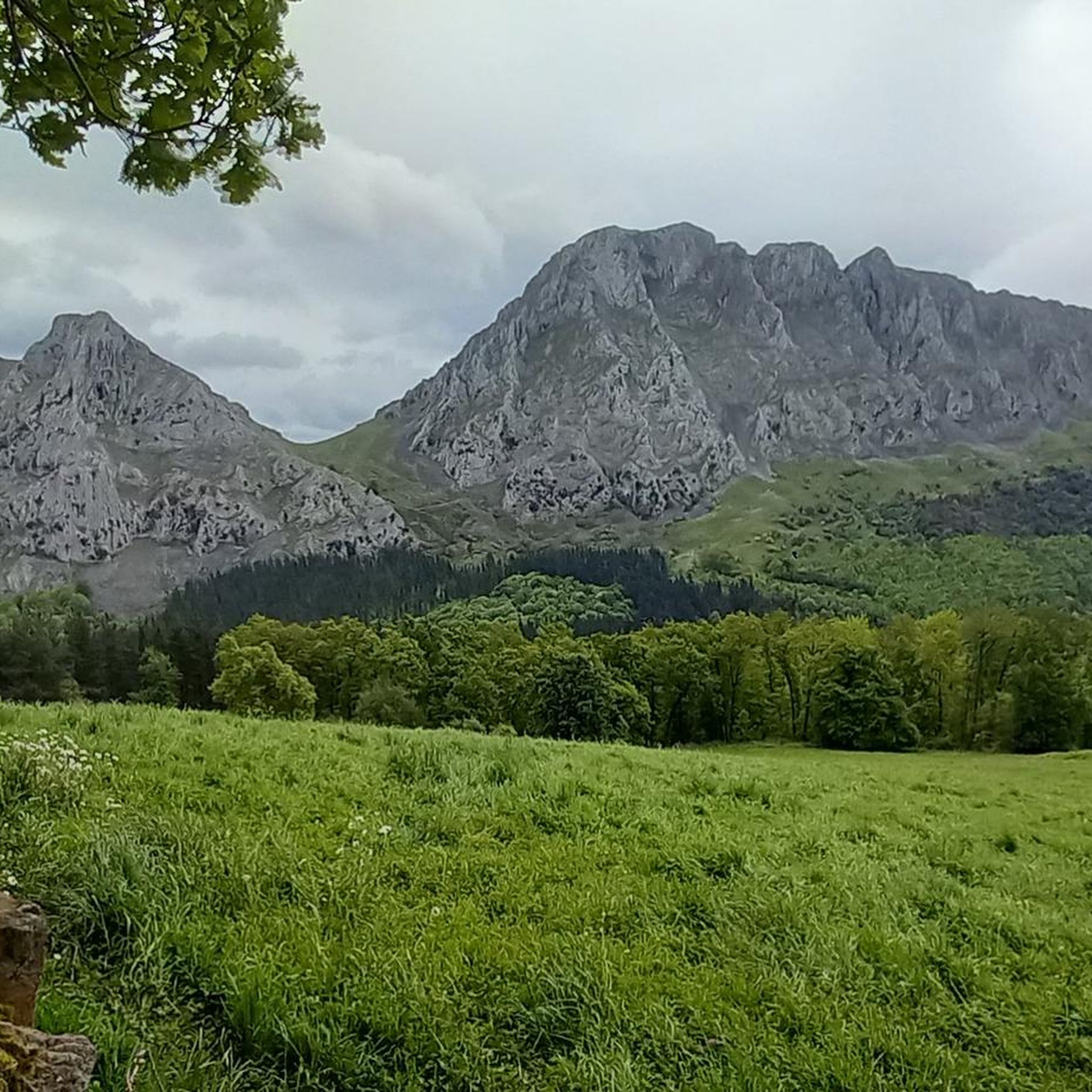
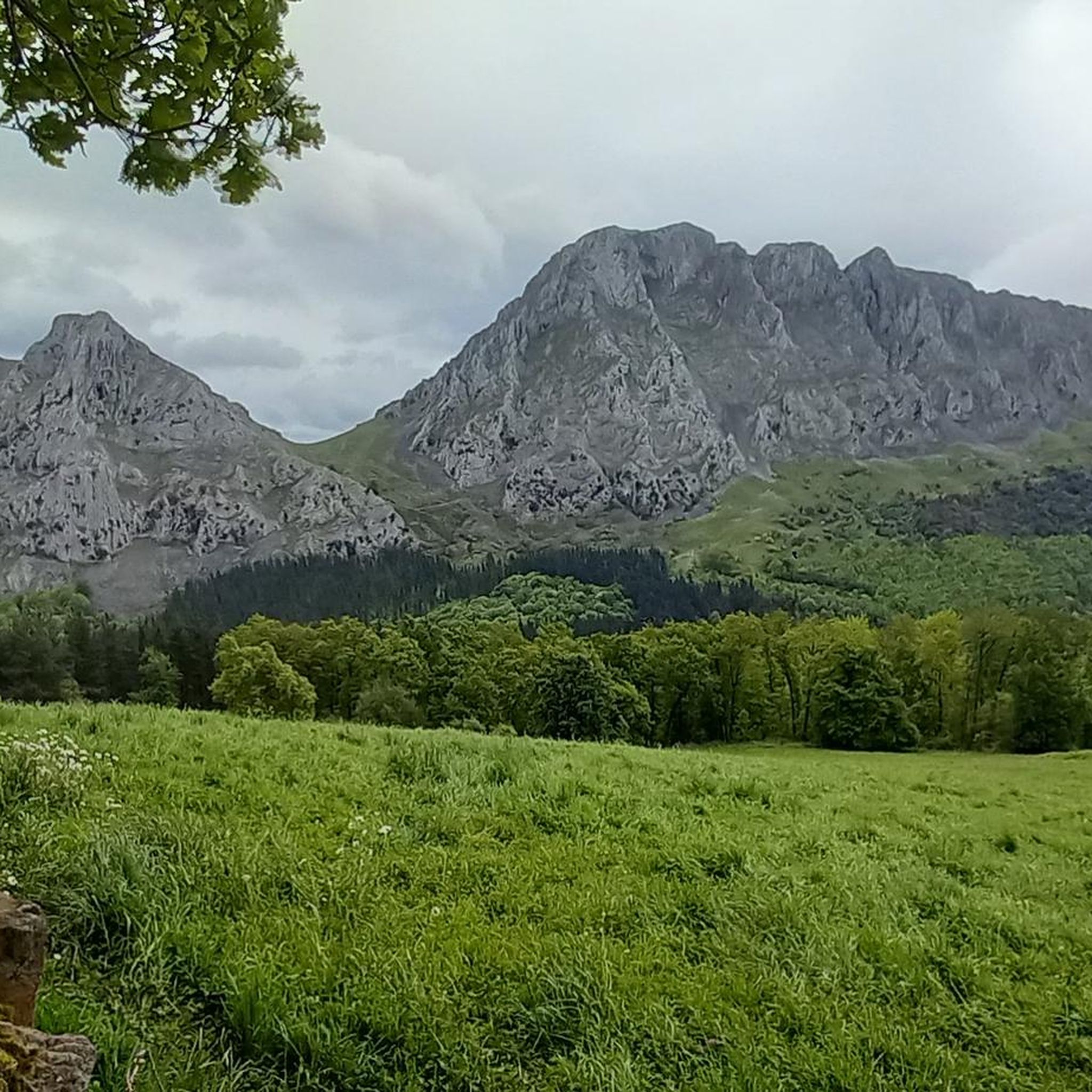
Mountain between Vizcaya and Álava of 1331 meters of altitude. It is one of the best-known mountains of the Basque Mountains due to its importance in traditional Basque culture. In it, Basque mythology establishes the main dwelling of the goddess Mari, known as the Lady of Amboto.
2
0
マニャリアでのの人気観光スポット

komootモバイルアプリでインスピレーションを得よう


さらに探索
まだ探しているハイライトが見つかりませんか?他の地域のトップアトラクションのガイドを見てみましょう:
