シルエラのおすすめツーリングルート
16
ライダー
4
ライド
シルエラ周辺でのおすすめのサイクリングルートを参考にして、このエリアを最大限に楽しみましょう。ここでご紹介するのは、シルエラ周辺の人気バイクライドです。ぜひ、自分に合ったルートを見つけてください。
最終更新日: 8月 21, 2026
3
ライダー
43.5km
02:46
350m
350m
中程度の自転車ライド. ある程度のフィットネスレベルが必要です。 全般的に舗装された状態です。あらゆるスキルレベルに適しています。
73.1km
05:07
760m
760m
難しい自転車ライド. 標準以上のフィットネスレベルが必要です。 全般的に舗装された状態です。あらゆるスキルレベルに適しています。

無料新規登録
5
ライダー
14.7km
00:55
160m
160m
中程度の自転車ライド. ある程度のフィットネスレベルが必要です。 全般的に舗装された状態です。あらゆるスキルレベルに適しています。
6
ライダー
25.0km
01:49
380m
380m
中程度の自転車ライド. ある程度のフィットネスレベルが必要です。 全般的に舗装された状態です。あらゆるスキルレベルに適しています。
おすすめのツアーは他のkomootユーザーが実際に経験した何千ものアクティビティに基づいています。
無料アカウントで今日から始めよう
次の冒険が待っています。
ログインまたは登録

コミュニティからのヒント

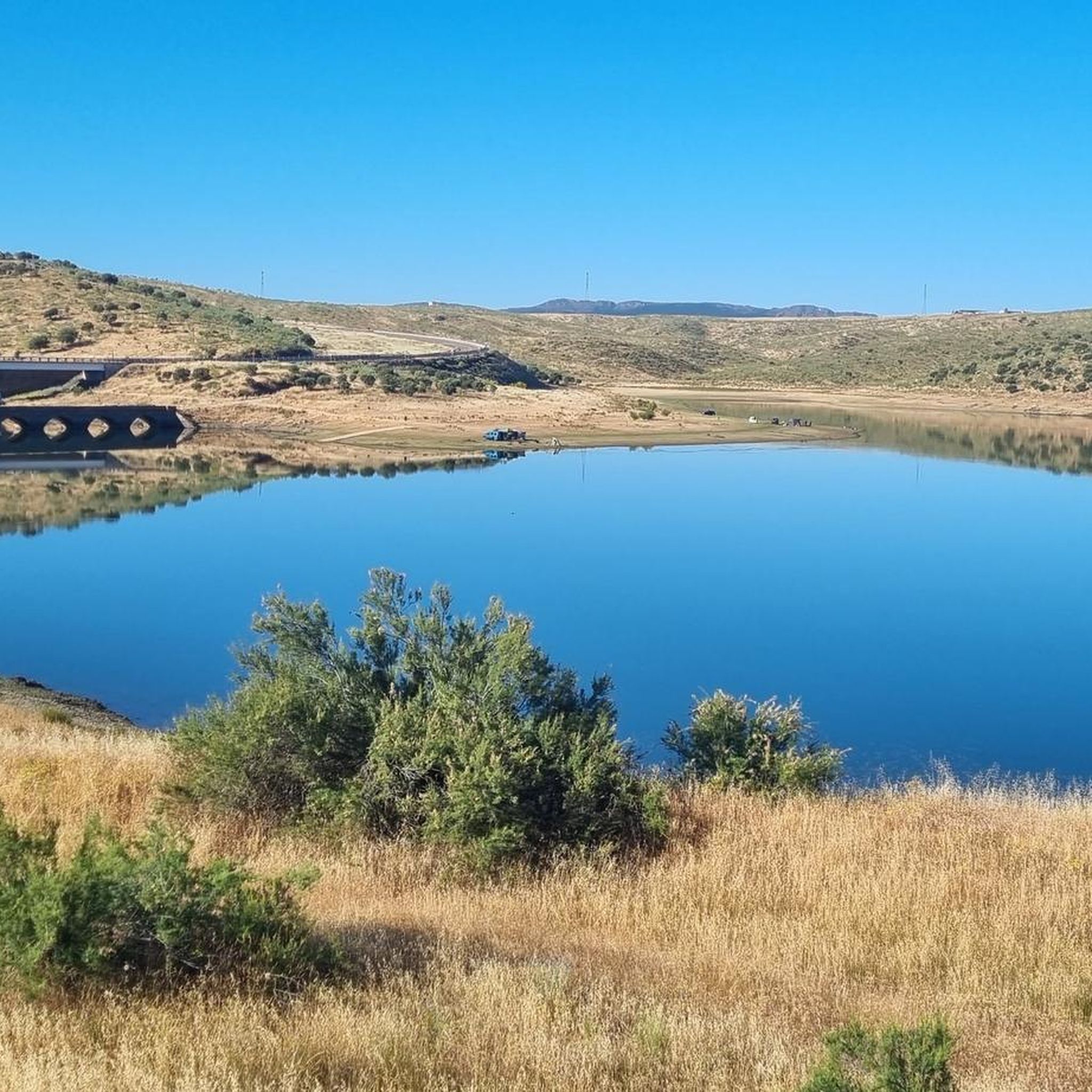
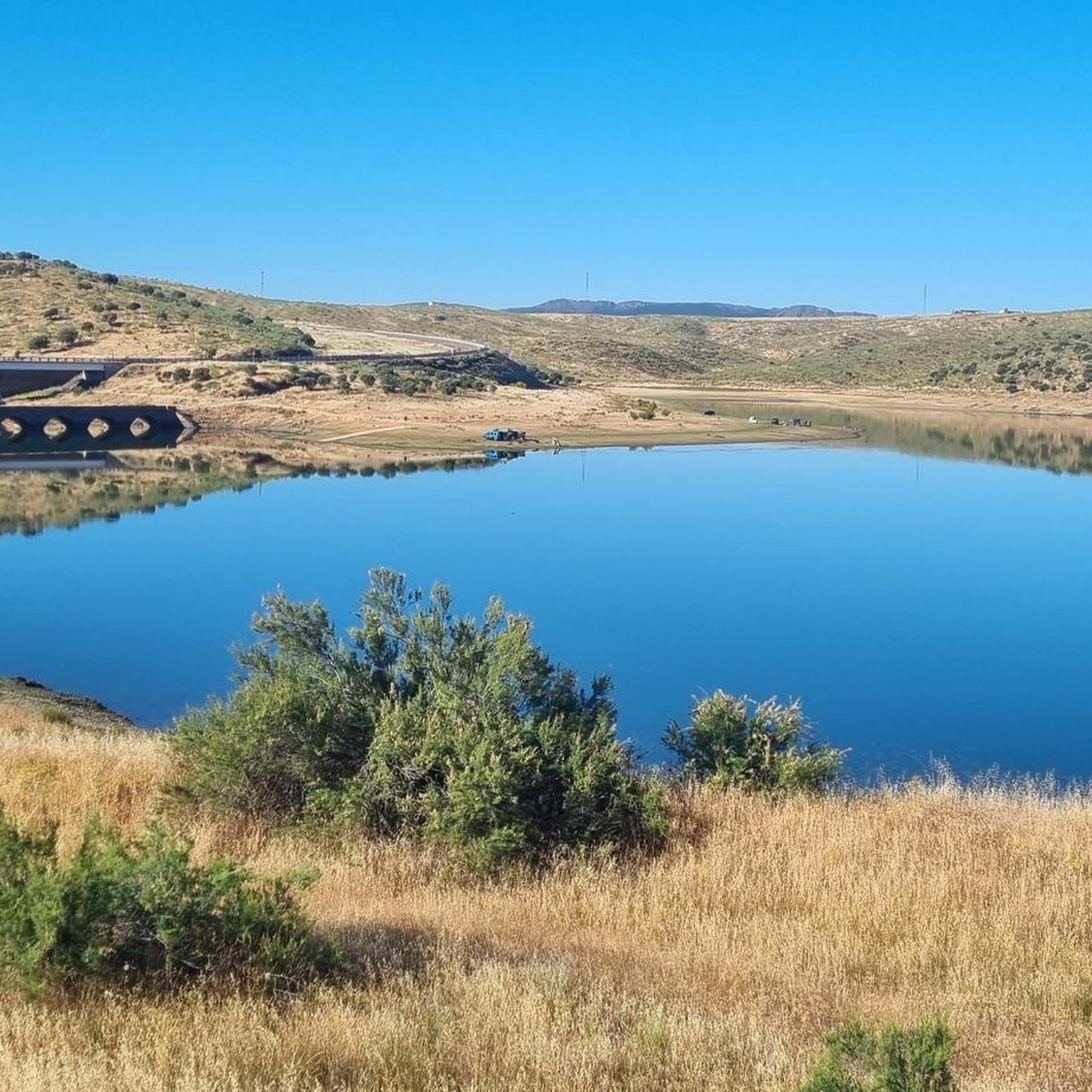
The García de Sola Reservoir, also known as Puerto Peña, is located on the Guadiana River, in the La Siberia Extremeña region (Badajoz). It was built in 1962 as part of the Badajoz Plan and has a capacity of 554 hm³. It is an emblematic site for its natural, scenic, and recreational value.
5
0
The Guadiana Riverside Trail in Siberia Extremadura is not an official name, but it refers to routes that run alongside the Guadiana River and its reservoirs in the La Siberia region (Badajoz), declared a Biosphere Reserve by UNESCO in 2019. This area combines landscapes of pastureland, mountains and large bodies of water (Cíjara, García de Sola and Orellana reservoirs), ideal for hiking, cycling and wildlife watching.
5
0
Playa de los Calicantos, located in Casas de Don Pedro (Badajoz), is an inland beach at the tail end of the Orellana Reservoir, within the La Siberia Extremeña region. It's an ideal place to enjoy the summer surrounded by nature, with excellent services and a peaceful setting.
10
0
Cerro Masatrigo is a hill located in the municipality of Esparragosa de Lares. This hill is known for its almost perfect conical shape, which has earned it the nickname "the magic mountain." It rises 501 meters above sea level and 161 meters above the surrounding terrain. After the construction of the La Serena Dam, Cerro Masatrigo became a peninsula surrounded by the waters of the reservoir.
1
0
Cerro Masatrigo is a hill located in the municipality of Esparragosa de Lares. This hill is known for its almost perfect conical shape, which has earned it the nickname "the magic mountain." It rises 501 meters above sea level and 161 meters above the surrounding terrain. After the construction of the La Serena Dam, Cerro Masatrigo became a peninsula surrounded by the waters of the reservoir.
5
0
Cerro Masatrigo is a hill located in the municipality of Esparragosa de Lares. This hill is known for its almost perfect conical shape, which has earned it the nickname "the magic mountain." It rises 501 meters above sea level and 161 meters above the surrounding terrain. After the construction of the La Serena Dam, Cerro Masatrigo became a peninsula surrounded by the waters of the reservoir.
6
0
The La Serena Dam, located in the province of Badajoz (Extremadura), is one of the most impressive hydraulic infrastructures in Europe. Location: Zújar River, in the region of La Serena It is part of the La Siberia Biosphere Reserve. It houses inland islands such as Cerro Masatrigo, considered a "magic mountain" for its perfect conical shape. A SPA (Special Protection Area for Birds), ideal for watching aquatic birds and birds of prey.
6
0

This spectacular reservoir was built during the 1960s. The reflection of the sunsets in the water and the surrounding landscape make it a must-see if you're exploring the Guadiana Nature Trail.
0
1
シルエラでのの人気ルート
シルエラでのの人気観光スポット

komootモバイルアプリでインスピレーションを得よう


さらに探索
他の地域の最高のサイクリングルートを見てみましょう。
