カストロヌエボデエスゲバのおすすめツーリングルート
4.5
(109)
1,301
ライダー
101
ライド
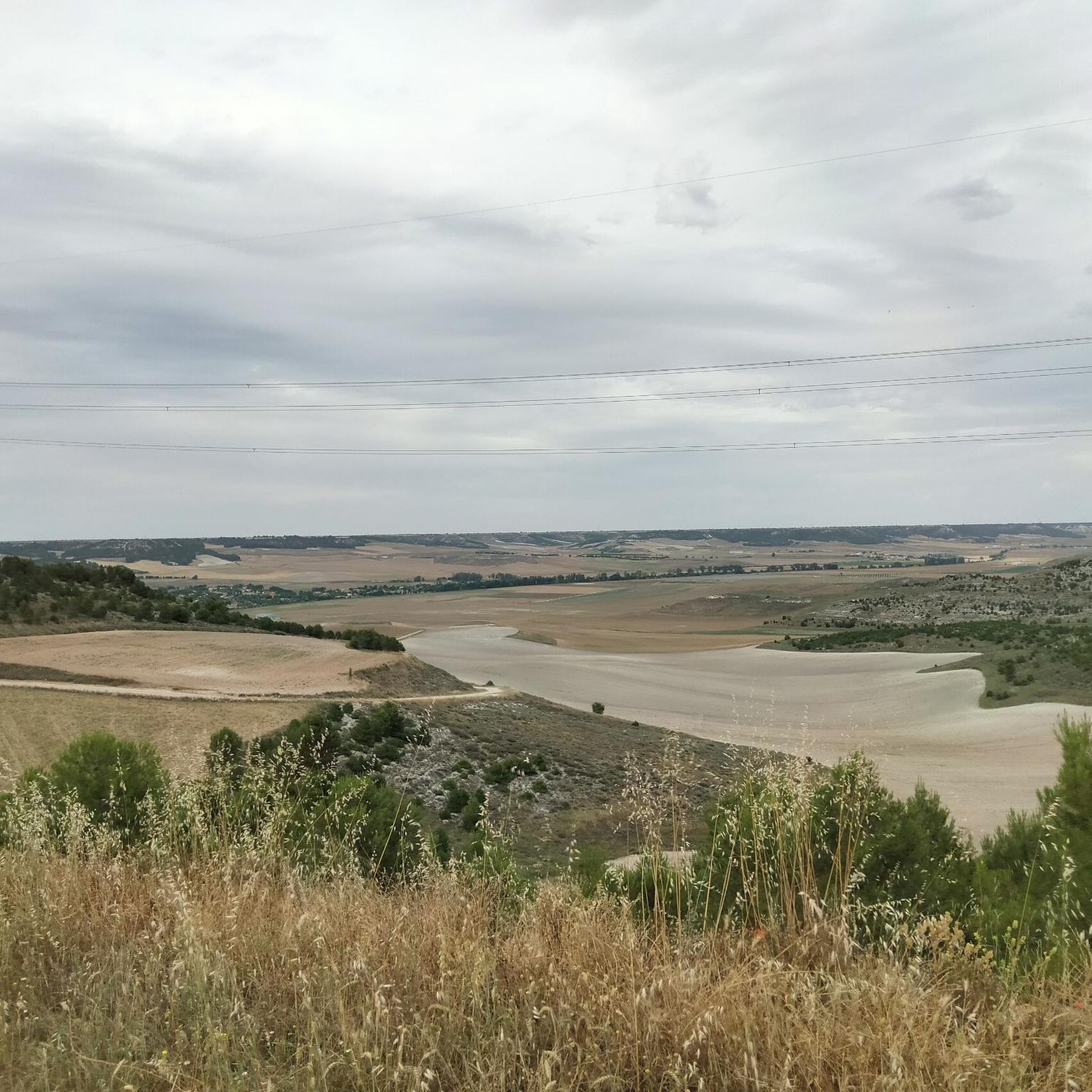
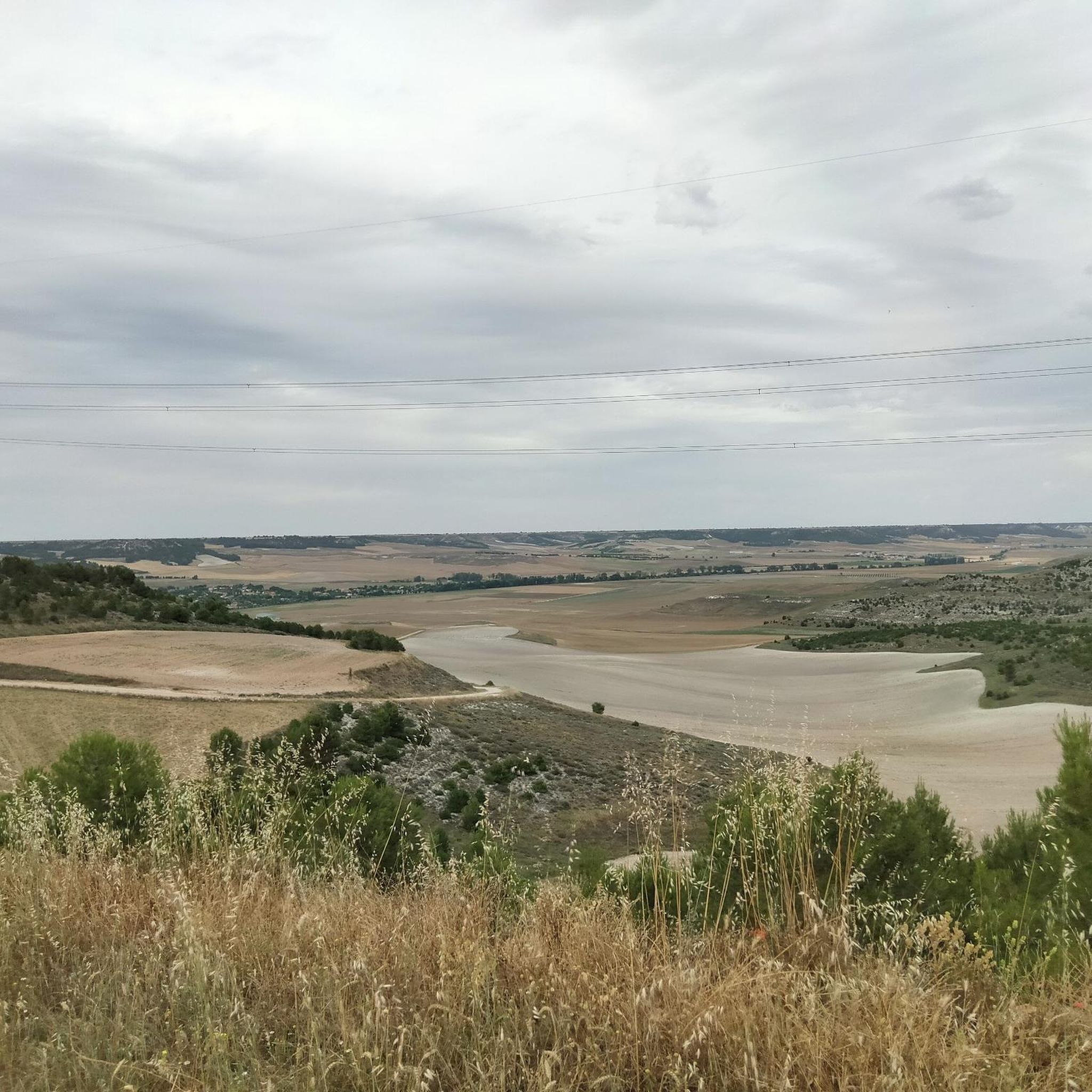
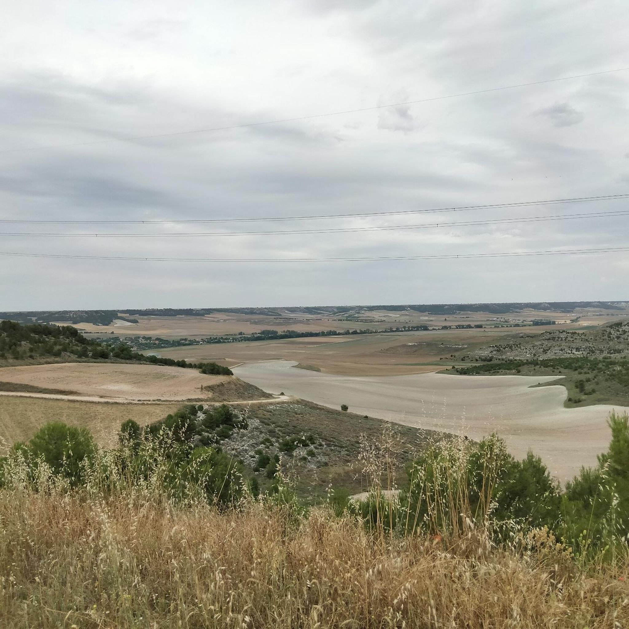
サイクリングルートはエスクエバ川の谷に沿っており、ポプラ、ヤナギ、トネリコの河畔林が特徴です。地形は一般的に標高の変化が少なく、川沿いの景色と農地の平野が続きます。道は固められた土の部分と舗装されたルートがあり、サイクリストに適しています。この地域には、谷の広大なパノラマビューを提供する高地(パラーモス)もあります。
カストロヌエボ・デ・エスクエバ周辺の最高のサイクリングルート
- 最も人気のあるサイクリングルートは、カベソン・デ・ピスエルガからのピスエルガ川ループの眺め(View of the Pisuerga River loop from Cabezón de Pisuerga)で、距離19.0マイル(30.5 km)、所要時間2時間42分です。このルートからは、ピスエルガ川と周囲の風景を眺めることができます。
- 地元のサイクリストに人気のもう一つのルートは、トゥデラ・デ・ドゥエロからのトゥデラ・デ・ドゥエロ橋 – カサソラ下降ループ(Tudela de Duero Bridge – Descent of Casasola loop from Tudela de Duero)で、距離24.8マイル(39.9 km)の難易度の高いルートです。このルートは、トゥデラ・デ・ドゥエロ周辺の多様な地形を含んでいます。
- 地元のサイクリストに愛されているのは、トゥデラ・デ・ドゥエロ橋 – バルカバディージョ展望台ループ(Tudela de Duero Bridge – Barcavadillo Viewpoint loop from Tudela de Duero)で、距離33.8マイル(54.4 km)、所要時間約5時間3分でエスクエバ川の谷を抜けるルートです。
- カストロヌエボ・デ・エスクエバ周辺のサイクリングは、エスクエバ川の谷、その河畔林、そしてミラベル・デ・ロス・コルタドスのような自然の展望台からの眺めが特徴です。このネットワークは、さまざまなレベルの能力に対応するオプションを提供しています。
- カストロヌエボ・デ・エスクエバのルートは、komootコミュニティから高く評価されており、40件以上のレビューで平均4.7つ星を獲得しています。600人以上のサイクリストがkomootを利用して、カストロヌエボ・デ・エスクエバの多様な地形を探検しました。
最終更新日: 11月 1, 2026
4.7
(3)
50
ライダー
30.5km
02:38
170m
170m
難しい自転車ライド. ある程度のフィットネスレベルが必要です。 ツアーの一部で自転車を押して歩く必要があるかもしれません。
4.0
(2)
21
ライダー
15.8km
00:58
20m
20m
初級者向けバイクライド. ほとんどが舗装路です。

11
ライダー
57.2km
05:17
640m
640m
難しい自転車ライド. 標準以上のフィットネスレベルが必要です。 ツアーの一部で自転車を押して歩く必要があるかもしれません。
5.0
(2)
7
ライダー
38.6km
03:05
220m
220m
難しい自転車ライド. ある程度のフィットネスレベルが必要です。 ツアーの一部で自転車を押して歩く必要があるかもしれません。
5
ライダー
31.4km
02:53
400m
400m
難しい自転車ライド. ある程度のフィットネスレベルが必要です。 ツアーの一部で自転車を押して歩く必要があるかもしれません。
さらに多くのルートや他のユーザーのおすすめ情報を確認できます。
すでにアカウントをお持ちですか?
おすすめのツアーは他のkomootユーザーが実際に経験した何千ものアクティビティに基づいています。
無料アカウントで今日から始めよう
次の冒険が待っています。

コミュニティからのヒント


A nice walk through the Duero River Park area
0
0

Make sure you carry sufficient water, when the temperatures get in to mid to high 30's the stretch between refills can be long.
0
0

Impressive, getting there by taking the Camino del Canal and seeing it is cool, easy access by a good track or from the road
0
0

In this location, it is believed that there was a medieval fortress that was razed by Abd al-Rahman III on August 8, 939, during his retreat towards the upper course of the Duero after the defeat of his troops in the “Battle of Simancas”. If you ever visit Tudela de Duero, you will be able to enjoy its natural beauty, its history and its cozy atmosphere. 🌿🏰
1
0

One of the points where the Canal and the Pisuerga River approach each other without meeting.
1
0

The Cerro de San Cristóbal is located between Valladolid and La Cistérniga. It is 843 m high and is a good viewpoint of the city of Valladolid. It is one of the examples of the "witness hills" - isolated hills in a flat area.
2
1

カストロヌエボデエスゲバでのの人気観光スポット

komootモバイルアプリでインスピレーションを得よう


さらに探索
他の地域の最高のサイクリングルートを見てみましょう。
