ブックのおすすめライド
4.5
(1037)
18,217
ライダー
161
ライド
ブック周辺でのロードバイクライドをお考えですか?komootはブック周辺のあらゆるロードバイクライドを評価し、人気ルートを厳選しました。ブック周辺の各ロードバイクルートの詳細をご覧になり、自分に合ったルートを見つけてください。
最終更新日: 10月 17, 2026
4.6
(42)
787
ライダー
61.3km
03:05
970m
970m
難しいロードライド. 標準以上のフィットネスレベルが必要です。 全般的に舗装状態が良好で走行しやすい道です。
4.7
(43)
859
ライダー
60.4km
02:19
80m
80m
中程度のロードライド. ある程度のフィットネスレベルが必要です。 全般的に舗装状態が良好で走行しやすい道です。

4.7
(50)
1,707
ライダー
97.2km
05:35
2,180m
2,180m
難しいロードライド. 標準以上のフィットネスレベルが必要です。 全般的に舗装状態が良好で走行しやすい道です。
4.6
(17)
252
ライダー
60.4km
02:55
750m
750m
中程度のロードライド. ある程度のフィットネスレベルが必要です。 ツアーの一部に、未舗装のため走行が難しい箇所があるかもしれません。
4.6
(12)
223
ライダー
30.6km
01:44
640m
640m
中程度のロードライド. ある程度のフィットネスレベルが必要です。 全般的に舗装状態が良好で走行しやすい道です。
さらに多くのルートや他のユーザーのおすすめ情報を確認できます。
すでにアカウントをお持ちですか?
おすすめのツアーは他のkomootユーザーが実際に経験した何千ものアクティビティに基づいています。
無料アカウントで今日から始めよう
次の冒険が待っています。

コミュニティからのヒント


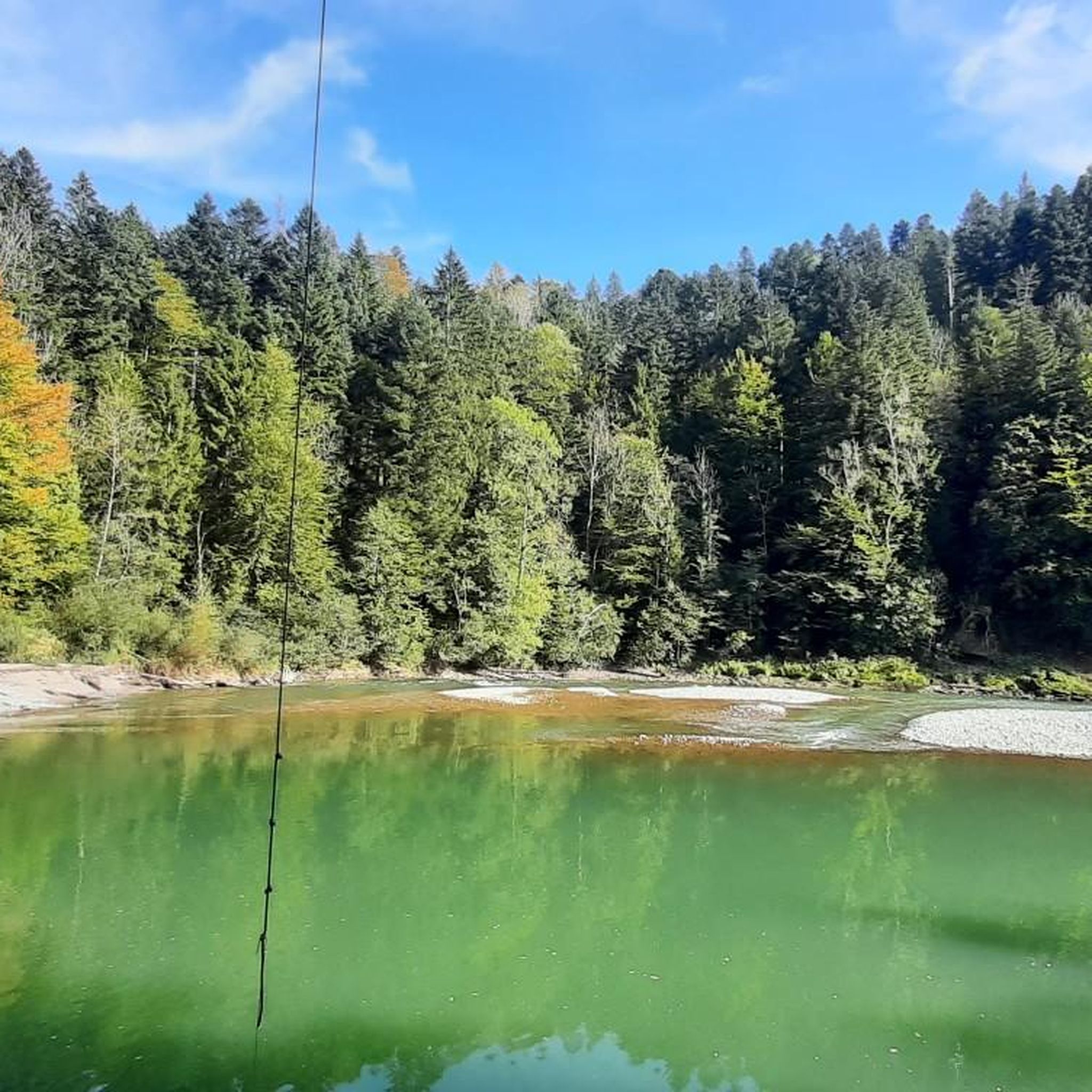
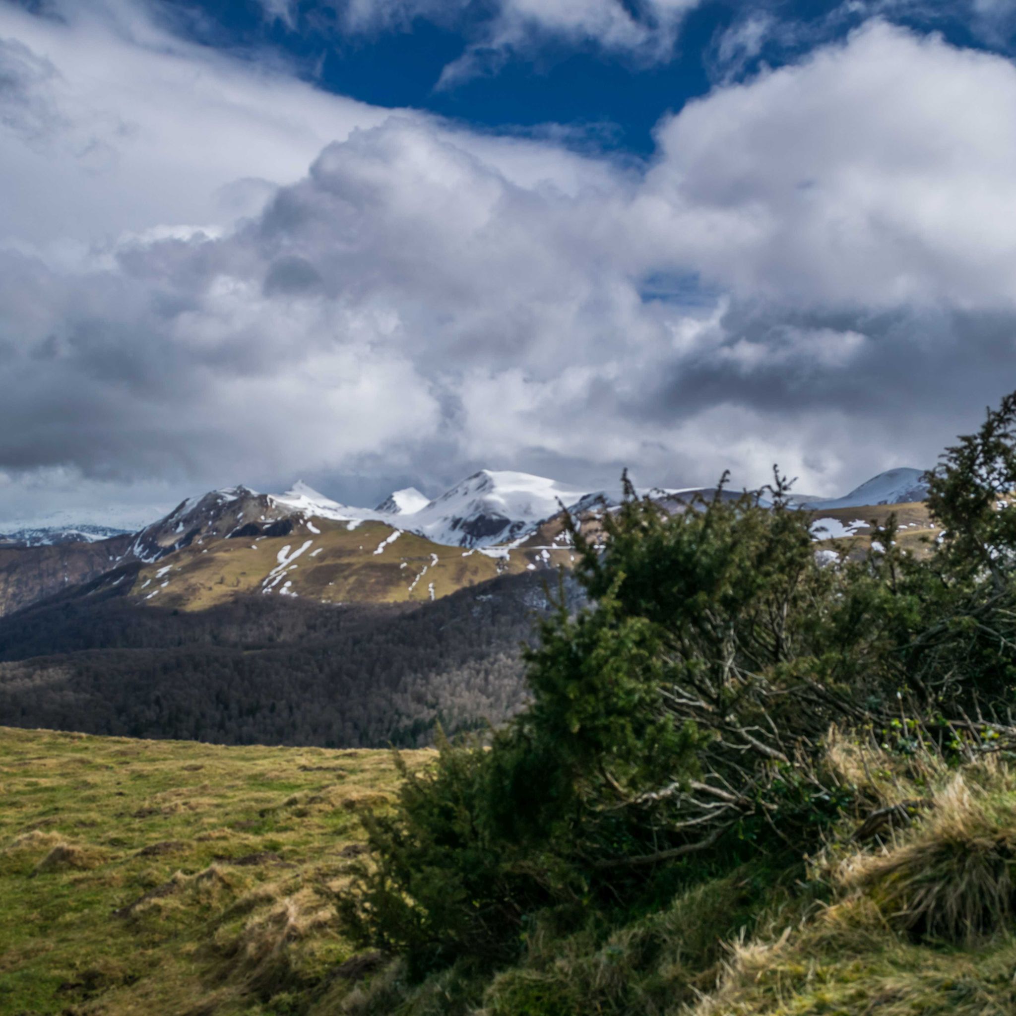
Beautiful view of the Bregenzerwald, it is worth a stop
1
0

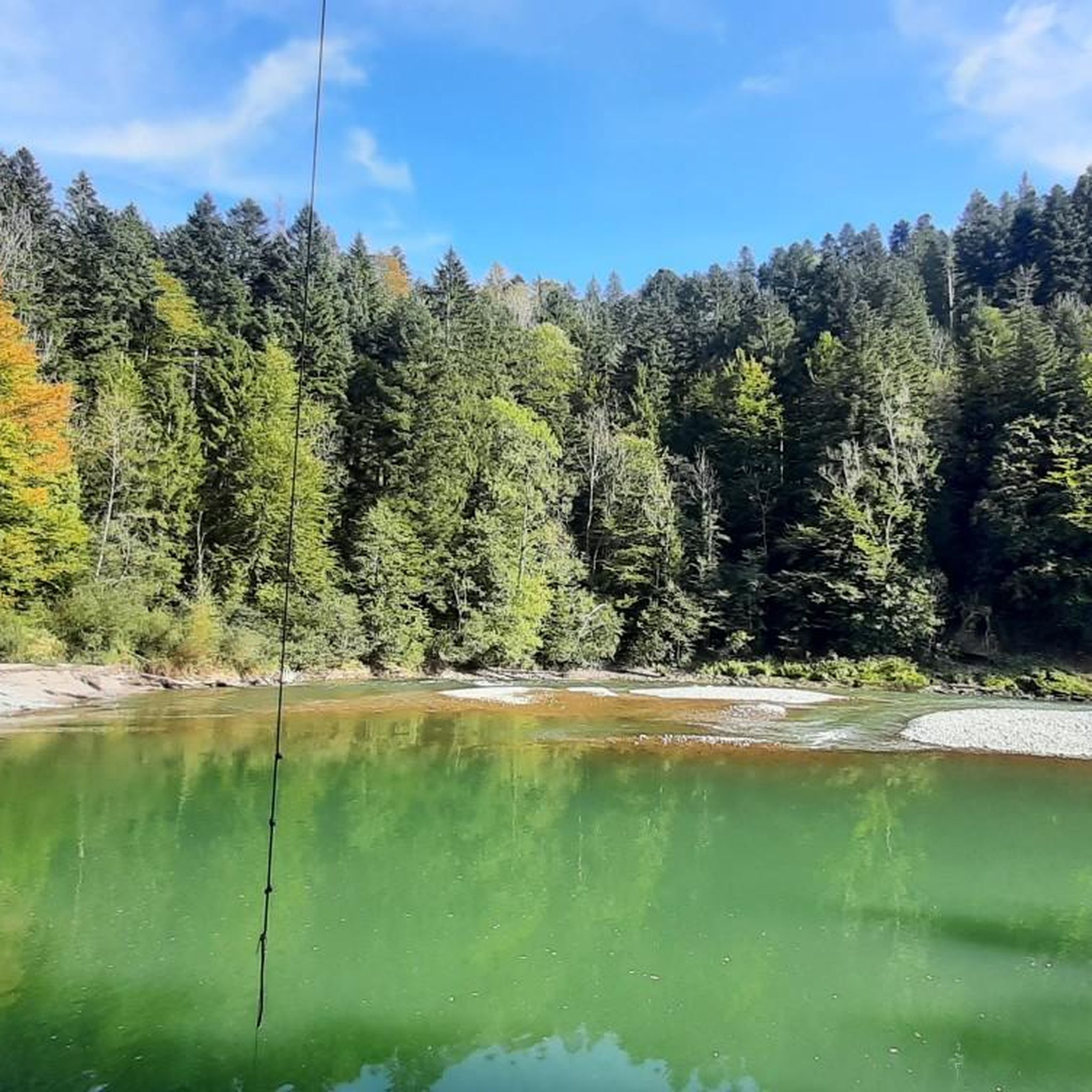
The Dornbirner Ach (also known as Dornbirnerach or Dornbirner Ache), along with the more northerly Bregenzer Ach, is one of the most important outflows for the smaller streams of the western Bregenzerwald Mountains and the lower Rhine Valley in the Austrian state of Vorarlberg. Until the Rhine was regulated, the Dornbirner Ach flowed into Lake Constance near Fußach. Today, the approximately 30-kilometer-long river flows east of and parallel to the Rhine near Hard into Lake Constance, crossing the municipal area of the city of Dornbirn. This large bridge is also accessible by car, and the cycle path and pedestrian path are separated from it.
1
0

What a panorama, unique!!
1
0

It doesn't really come across in the picture, but the panoramic view is truly breathtaking! The road is very busy.
0
0

Very pleasant cycling on smooth asphalt, slightly elevated with views parallel to the Dornbirner Ache.
1
0
Beautiful cycle path through the old tunnel where you freeze even when it's hot
1
0


komootモバイルアプリでインスピレーションを得よう


さらに探索
他の地域の最高のロードサイクリングルートを見てみましょう。
