サンジョアンレフォントの絶景の山頂・トップ7
絶景を目指して登るのであれ、達成感のために登るのであれ、山頂を訪れることで、サンジョアンレフォントの美しい自然をもっと満喫することができます。7
もの選択肢の中から、制覇する山頂を決めるのは簡単ではありません。スムーズに次の冒険で目指す山頂を選べるように、サンジョアンレフォントの素晴らしい山頂をこのガイドにまとめました。
最終更新日: 8月 31, 2026
サンタ・バルバラ・デ・プルネレス
ハイライト • 宗教的な場所
翻訳者 Google •
役立つ情報 は

モンツァコパ火山
ハイライト • 火山
翻訳者 Google •
役立つ情報 は

今すぐサインアップして、こんな場所を発見しよう
最高のシングルトラック、ピーク、その他のエキサイティングなアウトドアスポットのおすすめを受け取ろう。
無料新規登録
コル・デ・カプサコスタ
ハイライト • 山道
翻訳者 Google •
役立つ情報 は

プイグサジャンサ山頂(1,026m)
ハイライト • 山頂
翻訳者 Google •
役立つ情報 は

レス・トレス・クレウス(744m)
ハイライト • 山頂
翻訳者 Google •
役立つ情報 は

無料でサインアップして、さらに多くの山を発見しましょう サンジョアンレフォントでの。
無料新規登録
すでにアカウントをお持ちですか?
無料アカウントで今日から始めよう
次の冒険が待っています。
ログインまたは登録

コミュニティからのヒント

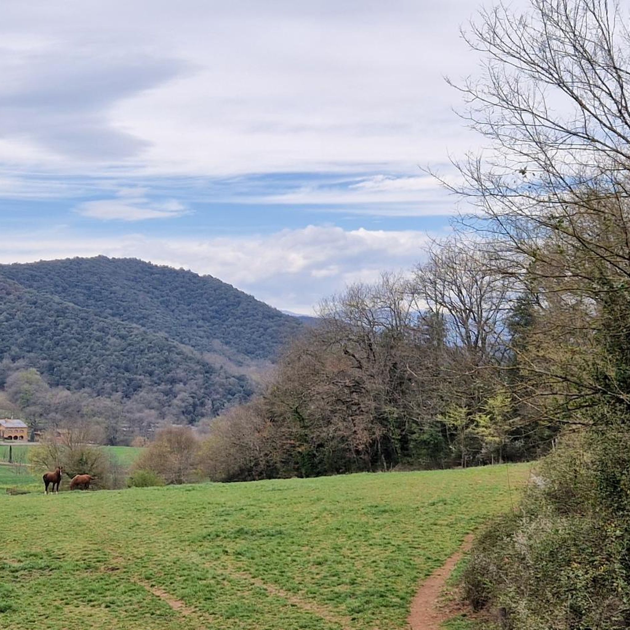
Spectacular views and a very nice arrival path.
0
0

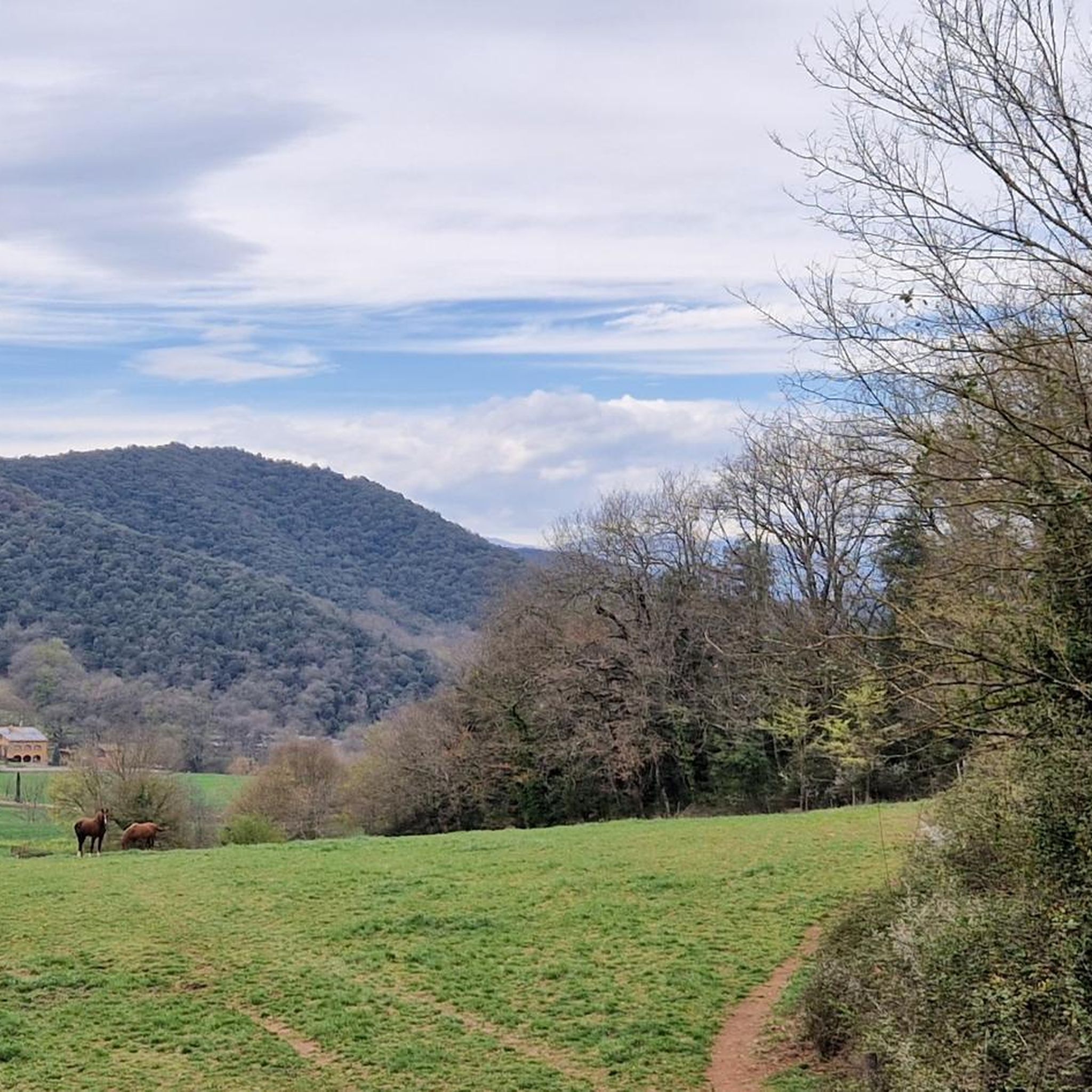
Long climb rewarded with a sign telling you how much you have worked.
0
0
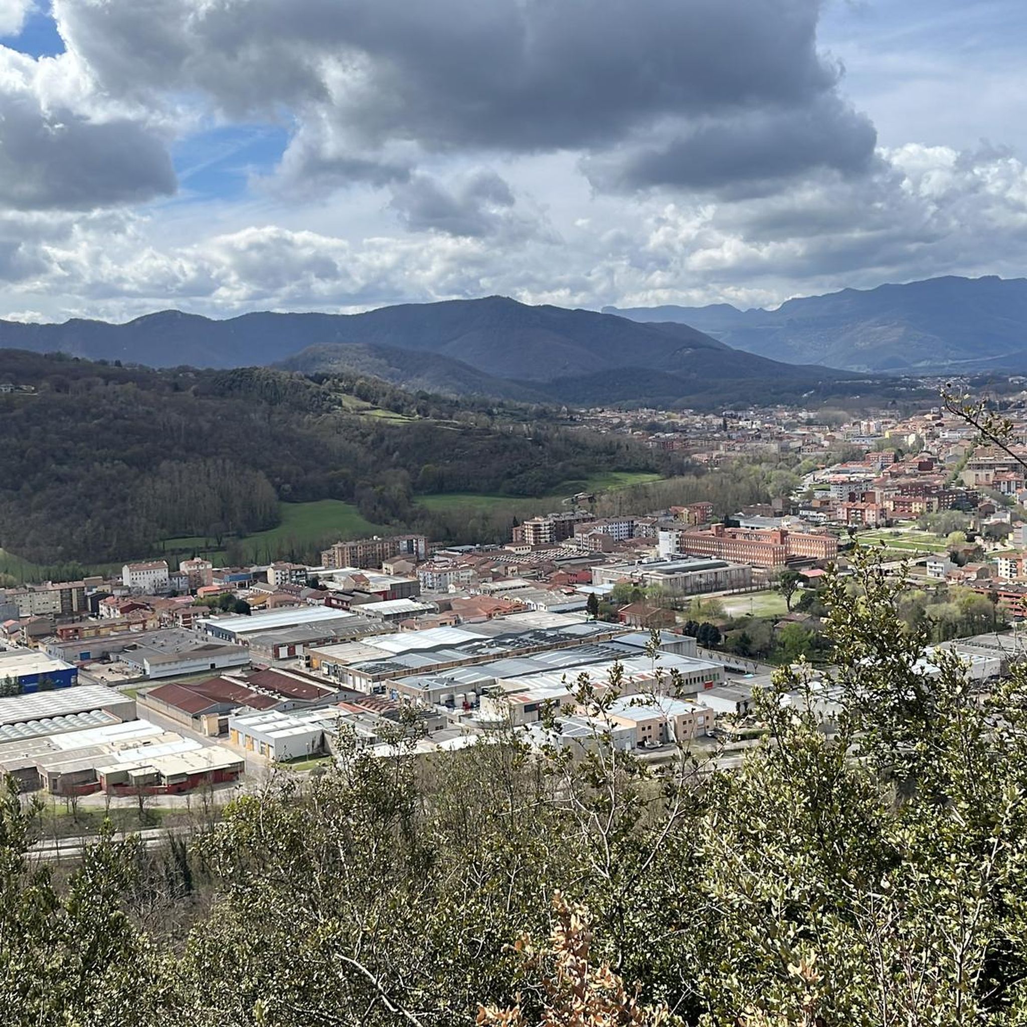
Volcà del Montsacopa is an extinct volcano that died out 100,000 years ago. Running here is not easy because it is steep uphill or downhill, but the views are worth it. The crater is full of rabbits (at least there were when I visited) in the late afternoon and there are many nice trails around it. There is a church and a tower there too. If you visit Olot it is an easy walk that you must do.
0
0

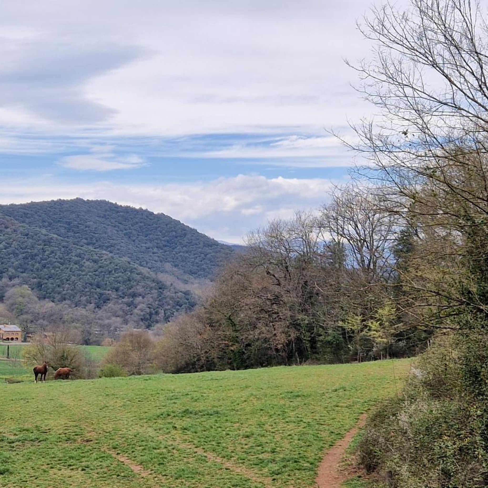
Mountain pass that crosses the Malforat mountain range, which separates the Bianya valley and the Bac valley, and the Garrotxa and Ripollès counties. It is a very quiet road with little traffic, which on the Olot side is 8.6 kilometers long and has an average gradient of just over 5%, while on the Sant Pau de Segúries side the port has a totally different character: a false flat of just 3 kilometers to the top.
2
0

With its 1026m height, Puisallança is the highest peak of the Sierra de Ventanas. It is located in the municipality of Sant Aniol de Finestres, in the Catalan region of Garrotxa. It is included in the list of the 100 summits of the FEEC.
1
0
744m high peak located on the border between the municipality of Les Planes and that of Sant Aniol de Finestres in the Sierra de Cogolls. Formerly there was an oratory on this site, although it was demolished during the anarchist and iconoclastic revolution in the summer of 1936. So much was the destruction of that moment, that as there was no image or written document, the memory of the presence of the oratory blurred in the collective memory. The desire to return to the landscape an element of the life of their ancestors was the reason that prompted the recovery of this place with the placement of three iron crosses by Josep Pagès.
0
0

A viewpoint with spectacular views of La Garrotxa. At the top there are three crosses in memory of the old oratory that existed in Puig de les Tres Creus after it was destroyed and no written document or image of it could be recovered.
2
0

It is a building dating from the twelfth or early thirteenth century, although it probably existed before an earlier church. The word Prunarias appears in a document from the year 966 as belonging to Sant Pere de Camprodon. The building is mentioned again in 1017. It seems that from shortly after 966 it belonged to the priory of Santa Maria del Coll de Panissars, a situation that must have been maintained until the beginning of the 17th century. In 1617 the church was joined to that of Sant Llorenç d'Oix. In 1661 there were 3 altars: the one of Santa Bàrbara, the one of Santa Caterina and the one of Sant Bartomeu. The church was damaged during the Civil War of 1936-39. The whole complex was completely restored between 1972-1979 by the Friends of Alta Garrotxa. Inside, different artistic pieces were kept, such as a tombstone representing the burial of a lady from the castle of Bestracà, which was damaged during the riots of 1936. Some of the fragments were deposited in the Museum of Olot by Dr. Joaquim Danès. Until the end of the 19th century, a Romanesque carving was venerated there, today deposited in the Museu d'Art de Catalunya, from the Plandiura collection. The fragments of an altarpiece representing the life of the saint are kept in the Parish Museum of Olot. From 1972 to 1981, restoration work was carried out, which meant that the building built on the nave during the 17th and 18th centuries was abandoned, as well as the one that turned the old belfry into a tower, rebuilt after a lightning strike. destroyed it in September 1978.
0
1
サンジョアンレフォントでのの人気観光スポット

komootモバイルアプリでインスピレーションを得よう


さらに探索
これらのガイドでさらに素晴らしい頂上を見てみましょうサンジョアンレフォントでの:
