ルカイネナデラストーレス周辺のアトラクション&必見スポット - トップ20
ルカイネナデラストーレスには必見のスポットがたくさんあります。ハイキング愛好家やサイクリング愛好家の方は、ぜひルカイネナデラストーレスを探索してこのエリアにある20
の隠れたスポットを訪れてみてください。このエリアの必見スポットを確認し、次の冒険に出かける計画を立てましょう。
最終更新日: 8月 30, 2026
アグア・アマルガの千年オリーブ
ハイライト • 自然記念物
翻訳者 Google •
役立つ情報 は

翻訳者 Google •
役立つ情報 は

今すぐサインアップして、こんな場所を発見しよう
最高のシングルトラック、ピーク、その他のエキサイティングなアウトドアスポットのおすすめを受け取ろう。
無料新規登録
カラ・デ・エンメディオ
ハイライト • ビーチ
翻訳者 Google •
役立つ情報 は

アグア・アマルガ鉱石積み出しドック
ハイライト • 記念碑
翻訳者 Google •
役立つ情報 は

無料アカウントで今日から始めよう
次の冒険が待っています。
ログインまたは登録
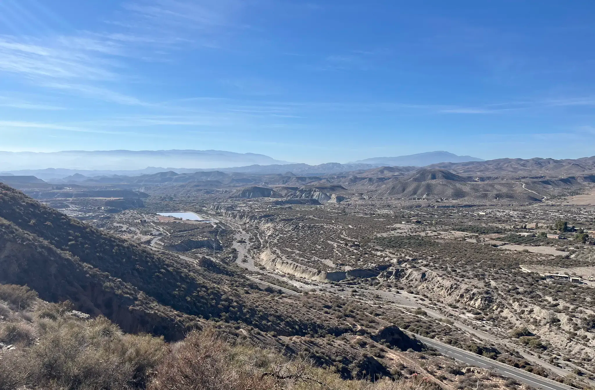
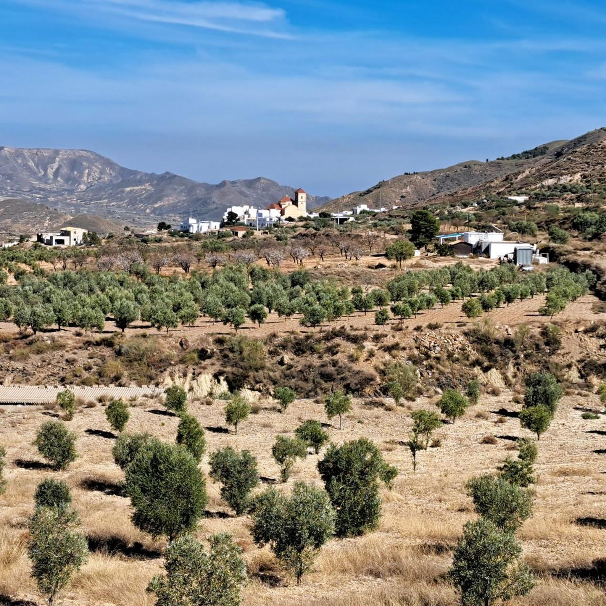
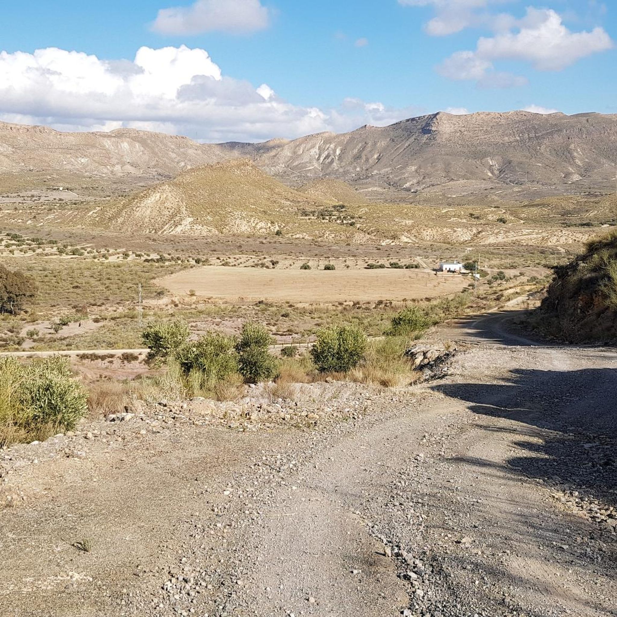
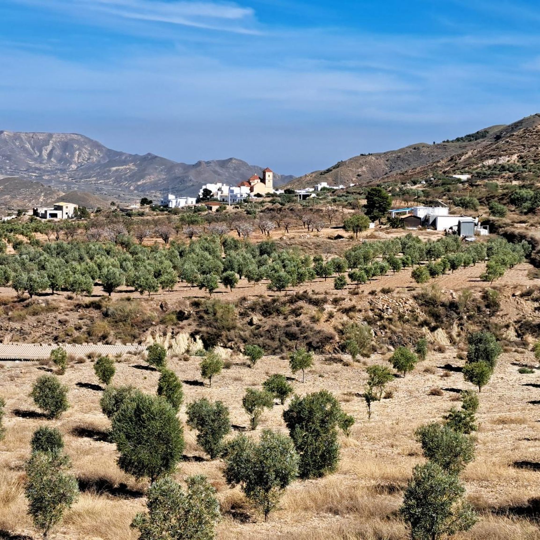

ルカイネナデラストーレスでのの他の冒険

コミュニティからのヒント


The calcining kilns at the Lucainena de las Torres mining area are one of the most unique vestiges of the area's former mining activity. Eight masonry kilns with refractory brick interiors remain, used to process the ore before its rail transport to Agua Amarga. You can still see the loading platform for the wagons, remains of trenches, embankments, and even an old power plant. This complex offers a very interesting visit for lovers of industrial history and hiking through unique surroundings.
3
0

The Agua Amarga Olive Tree, also known as the Thousand-Year-Old Agua Amarga Olive Tree, is a monumental tree located in the Rambla de los Viruega (or Viruegues), very close to the village of Agua Amarga, in the municipality of Níjar, within the Cabo de Gata-Níjar Natural Park. The canopy casts a shadow about 10 meters in diameter. Despite its age and lack of intensive care, it is in acceptable condition, although it could be improved.
3
0

We tried the same hike. We started the loop in the opposite direction. The paths are barely recognizable, very steep and in some places they go over a gorge ridge: 30 cm wide. Very dangerous in windy conditions! The gradients are sometimes 30%, parts of the path are clayey. Very slippery and dangerous in rainy weather. You need very good shoes and hiking poles to hold on to. If you follow the Komoot instructions, you end up in the gorge. The path that Komoot shows often doesn't exist. The difficulty level of the path is high. Duration > 3 hours.
2
0

Remains of an old iron mine that closed in 1941.
2
0

Former location chosen to load the ships that should transport the iron extracted in the Lucainena mines to the blast furnaces of the mining companies.
2
0
It is an old location chosen to load the ships that transported the iron extracted in the Lucainena mines to the blast furnaces of the mining companies.
2
0
This walk is marked as easy, but some experience is required. The paths are sometimes unrecognizable and then it takes some guts to find a somewhat passable path. About a kilometer before the end point there is a deep abyss on the left where the path is only about 20 cm wide. There is also a dense bush hanging over it. Impassable and life-threatening. On the right there is a ruin that you can climb through to pass this dangerous point. A short but quite intense walk, but you will be treated to beautiful views.
1
1
ルカイネナデラストーレスでのの人気観光スポット

komootモバイルアプリでインスピレーションを得よう


さらに探索
まだ探しているハイライトが見つかりませんか?他の地域のトップアトラクションのガイドを見てみましょう:
