アルギミアデアルモナシッドのおすすめライド
4.7
(57)
4,608
ライダー
75
ライド
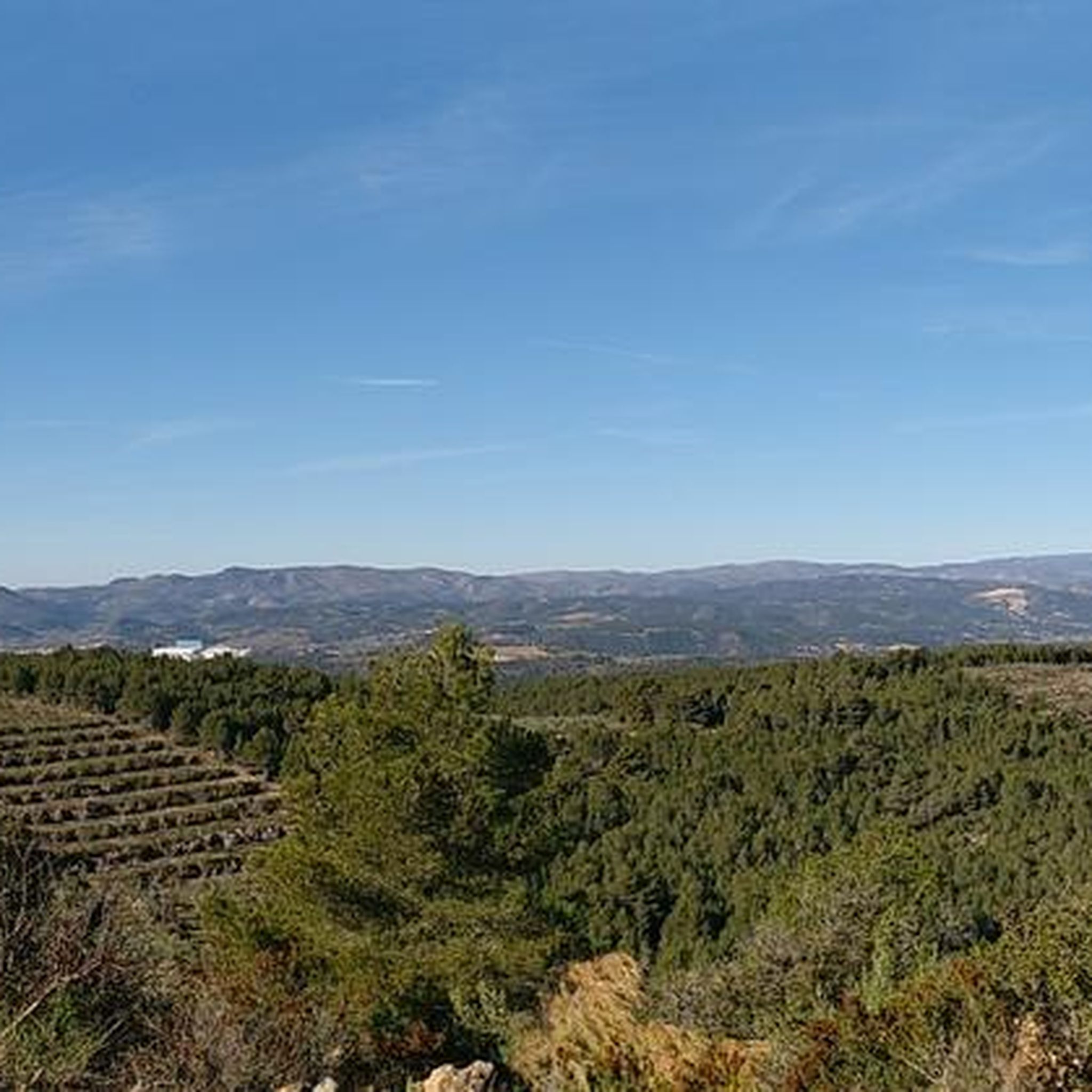
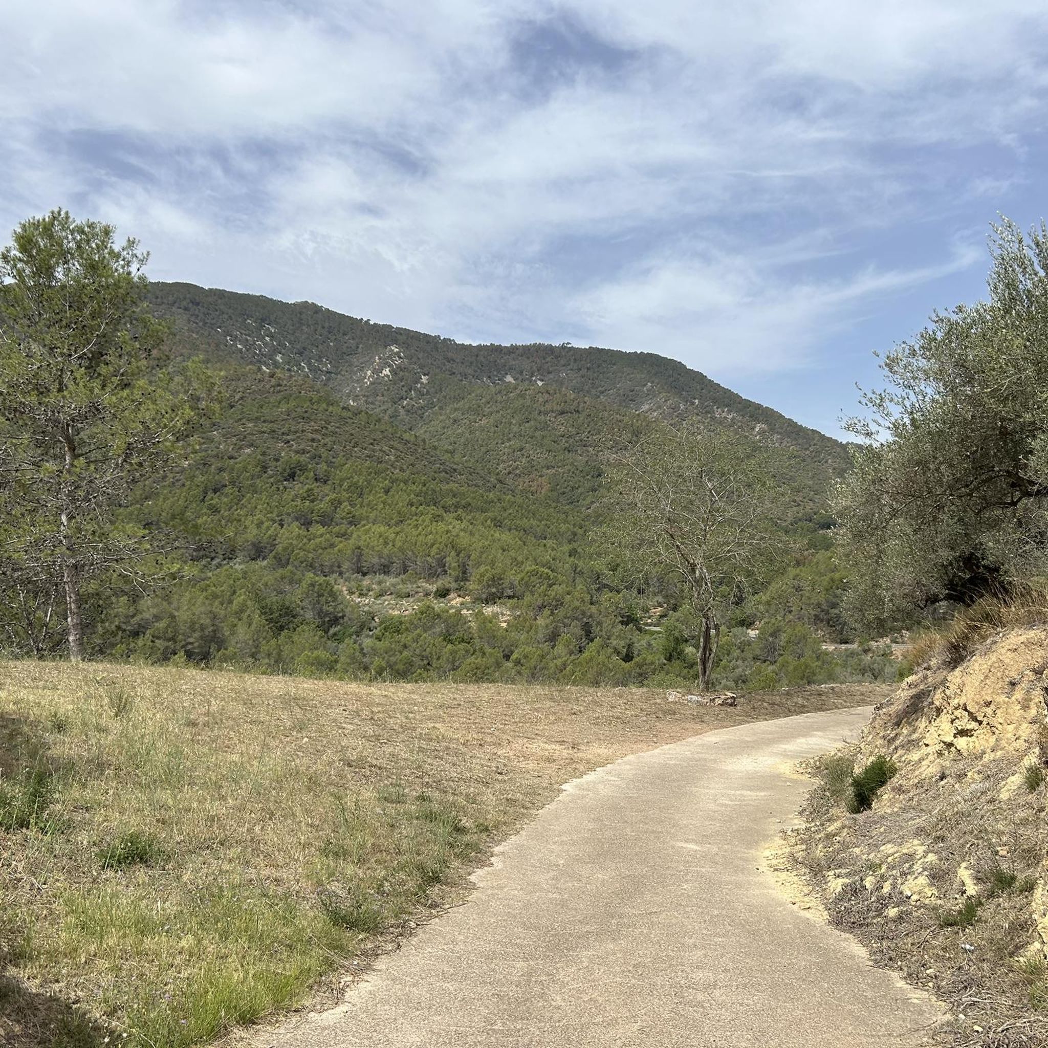
アルヒミア・デ・アルモナシド周辺のロードサイクリングルートは、平均標高639メートルのエスパダン山脈自然公園内にあります。この地域は、険しい尾根、清涼な渓谷、そして松やコルクガシの密林が特徴で、サイクリストに多様な地形を提供します。この地域には、挑戦的な峠やビアー・ベルデ・デ・オホス・ネグロスへのアクセスを含む、ロードサイクリングに適した道路網があります。アルヒミア・デ・アルモナシドのサイクリングルートの地形、標高、難易度は様々で、様々なスキルレベルに対応しています。
アルヒミア・デ・アルモナシド周辺のベストロードサイクリングルート
- 最も人気のあるロードサイクリングルートは、トルラバ・デル・ピナール発エシダ峠~エシダ峠ループです。このルートは73.0マイル(117.4 km)で、所要時間は6時間54分です。この難易度の高いルートは、山岳地帯を通り、かなりの標高差があります。
- 地元のロードサイクリストに人気のもう一つのルートは、エシダ発アイン村~アイン峠ループです。これは32.6マイル(52.5 km)の難易度の高いルートです。このルートはエスパダン山脈を登り、自然公園の景色を楽しめます。
- 地元のロードサイクリストに人気なのは、ナバハス発モンマヨール峠~アルクブラス村ループです。この51.0マイル(82.1 km)のルートは、山岳地帯を通り抜け、所要時間は約4時間22分です。
- アルヒミア・デ・アルモナシド周辺のロードサイクリングは、山岳地帯、松やコルクガシの密林、そして挑戦的な峠が特徴です。このネットワークは、中級から上級まで、様々なレベルのサイクリストに対応するオプションを提供しています。
- アルヒミア・デ・アルモナシドのルートは、komootコミュニティから高く評価されており、50件以上のレビューで平均4.7つ星を獲得しています。4,000人以上のロードサイクリストがkomootを利用して、アルヒミア・デ・アルモナシドの多様な地形を探索しています。
最終更新日: 8月 21, 2026
4.0
(1)
120
ライダー
82.7km
04:22
1,510m
1,510m
難しいロードライド. 標準以上のフィットネスレベルが必要です。 全般的に舗装状態が良好で走行しやすい道です。
5.0
(4)
102
ライダー
38.5km
01:54
520m
520m
中程度のロードライド. ある程度のフィットネスレベルが必要です。 全般的に舗装状態が良好で走行しやすい道です。

無料新規登録
92
ライダー
46.4km
02:31
920m
920m
難しいロードライド. 標準以上のフィットネスレベルが必要です。 ツアーの一部に、未舗装のため走行が難しい箇所があるかもしれません。
34
ライダー
78.4km
03:57
1,180m
1,180m
難しいロードライド. 標準以上のフィットネスレベルが必要です。 ツアーの一部に、未舗装のため走行が難しい箇所があるかもしれません。
19
ライダー
51.4km
03:05
1,140m
1,130m
難しいロードライド. 標準以上のフィットネスレベルが必要です。 全般的に舗装状態が良好で走行しやすい道です。
さらに多くのルートや他のユーザーのおすすめ情報を確認できます。
無料新規登録
すでにアカウントをお持ちですか?
おすすめのツアーは他のkomootユーザーが実際に経験した何千ものアクティビティに基づいています。
無料アカウントで今日から始めよう
次の冒険が待っています。
ログインまたは登録

コミュニティからのヒント

バレンシアの内陸の町で、バーやレストランなどのサービスがあり、週末には人がいます。ルートについては、日曜日もスーパーマーケットが開いているという利点があります。
0
0

In this historic place, in 1237, King James I donated the image of the Virgin of Health to the town of Alcublas, which he carried with him on his horse.
0
0
The road is in perfect condition, 8 meters wide, with vertical signs. Light traffic, although on weekends it is heavily used by bikers until Alcublas. From this point on, traffic is light, and after Sacañet, it is practically nonexistent. There may be snow restrictions in winter from Sacañet onwards. From Sacañet onwards, the last 4.2 km are the toughest, with a gradient of 250 meters at an average of 6%, and with sections that reach 12%. The most interesting aspect is being able to link the three mountain passes starting from Lliria (Port d'Alcublas, Alto de la Cruz del Collado, and finally Puerto de La Bellida) for a total of almost 30 km and 1,400 m+. You can also climb up a dirt track (quite broken, difficult with a skinny one, even if it's gravel) to Col de La Bellida and the geodetic vertex, along the path that branches off to the left after passing the mountain pass (another 2 km at 3% but with ramps that go up to 15%).
0
0
Leaving from Lliria and linking the Port d'Alcublas and the Alto de la Cruz del Collado you end up with a great climb of almost 30km and 1,250m+ that is worth the effort.
0
0

It currently has a light that is activated at the entrance. There is often dampness or water accumulation after rain.
0
0

Segorbe has several outstanding monuments that reflect its rich history and cultural heritage.
5
0
アルギミアデアルモナシッドでのの人気観光スポット

komootモバイルアプリでインスピレーションを得よう


さらに探索
他の地域の最高のロードサイクリングルートを見てみましょう。
