マタジャナデトリオのおすすめライド
3.8
(6)
928
ライダー
38
ライド
マタジャナデトリオ周辺のロードバイクルートをお探しですか?ここでは、komootが提供するマタジャナデトリオでのロードバイクライドのコレクション全体を評価して選び抜いた人気ルートをご紹介します。各ライドの詳細をぜひご覧ください。
最終更新日: 9月 8, 2026
51
ライダー
84.2km
04:04
1,250m
1,250m
難しいロードライド. 標準以上のフィットネスレベルが必要です。 全般的に舗装状態が良好で走行しやすい道です。
57
ライダー
88.3km
04:15
1,260m
1,260m
難しいロードライド. 標準以上のフィットネスレベルが必要です。 全般的に舗装状態が良好で走行しやすい道です。

30
ライダー
50.7km
02:30
780m
780m
中程度のロードライド. ある程度のフィットネスレベルが必要です。 全般的に舗装状態が良好で走行しやすい道です。
22
ライダー
96.5km
04:31
1,240m
1,240m
難しいロードライド. 標準以上のフィットネスレベルが必要です。 全般的に舗装状態が良好で走行しやすい道です。
10
ライダー
28.8km
01:32
550m
550m
中程度のロードライド. ある程度のフィットネスレベルが必要です。 全般的に舗装状態が良好で走行しやすい道です。
さらに多くのルートや他のユーザーのおすすめ情報を確認できます。
すでにアカウントをお持ちですか?
おすすめのツアーは他のkomootユーザーが実際に経験した何千ものアクティビティに基づいています。
無料アカウントで今日から始めよう
次の冒険が待っています。
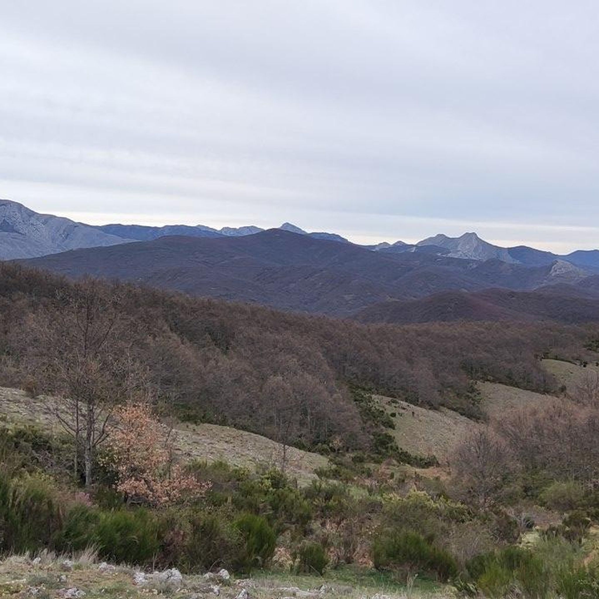
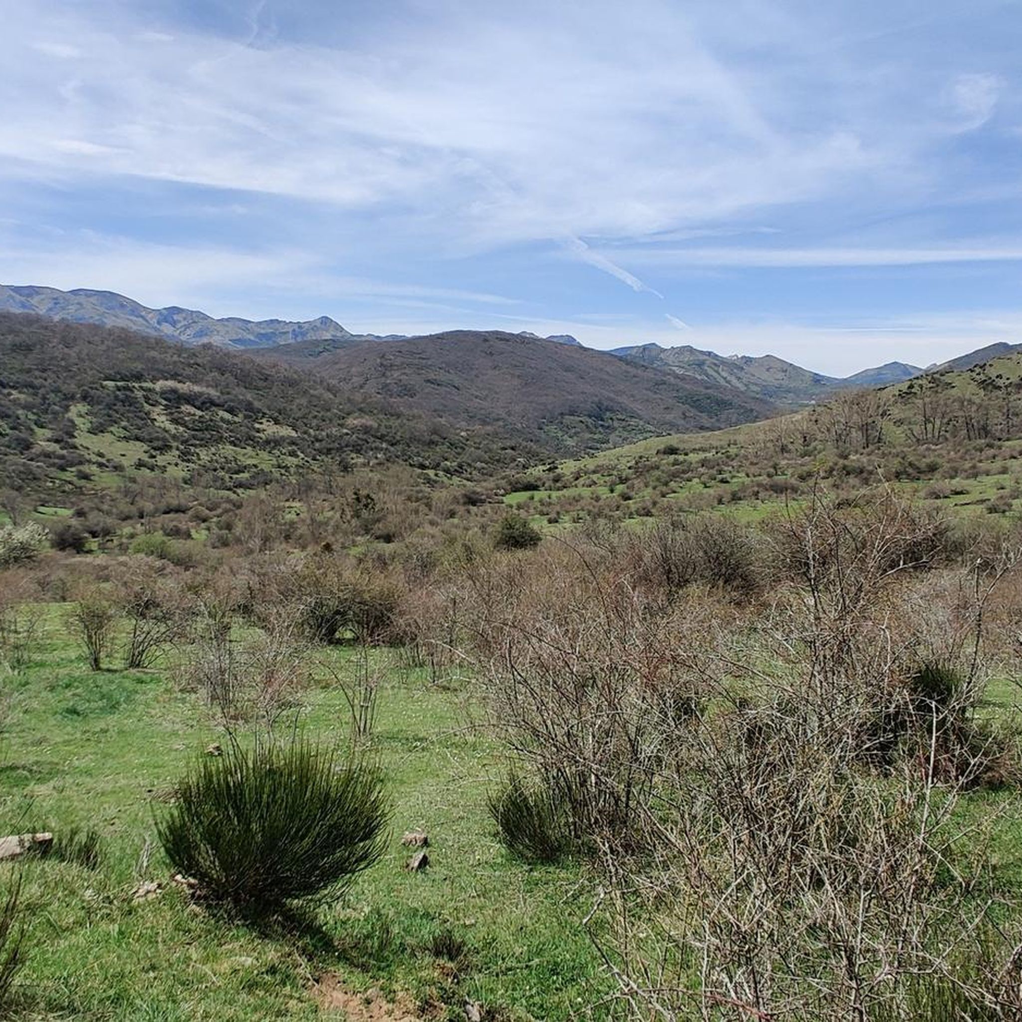
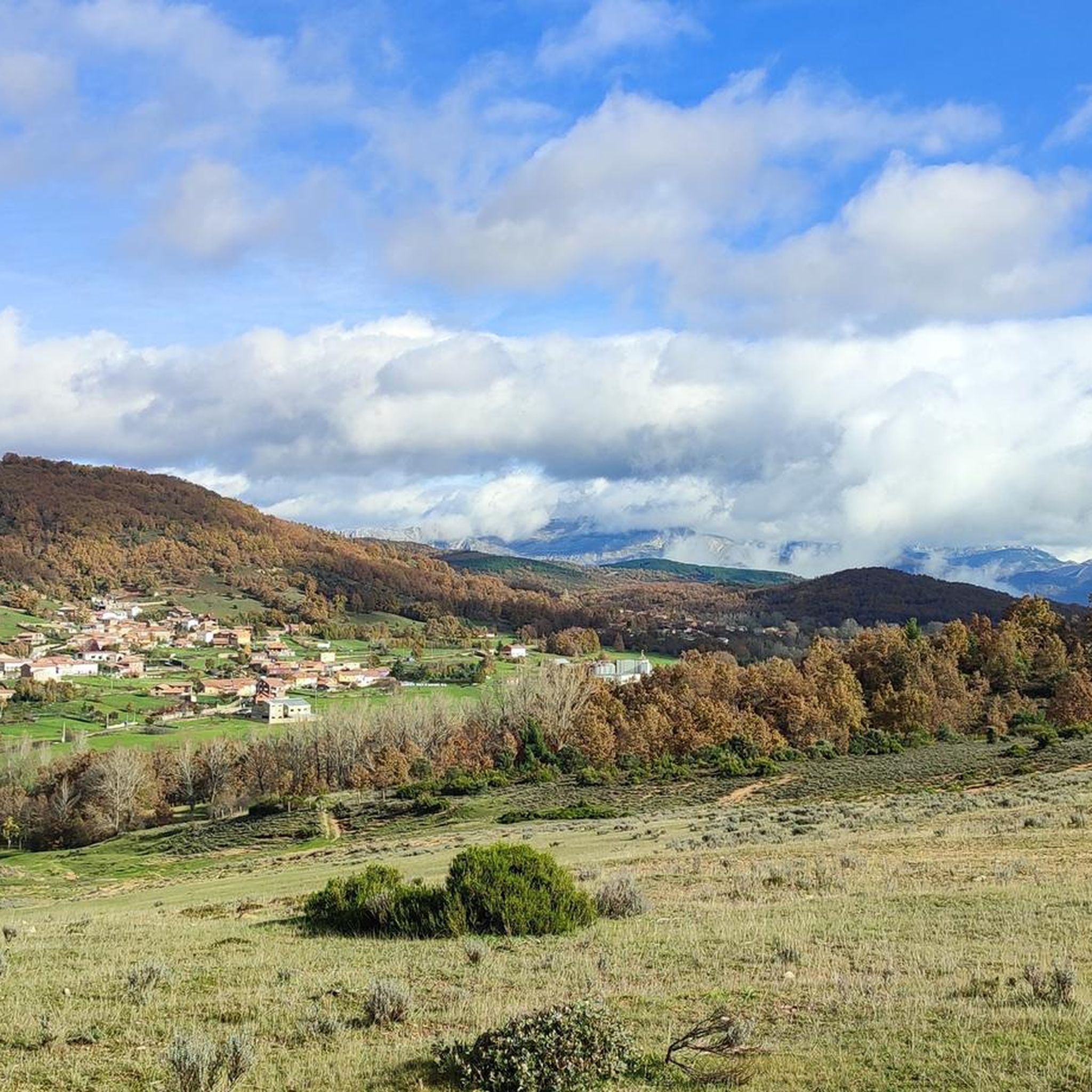
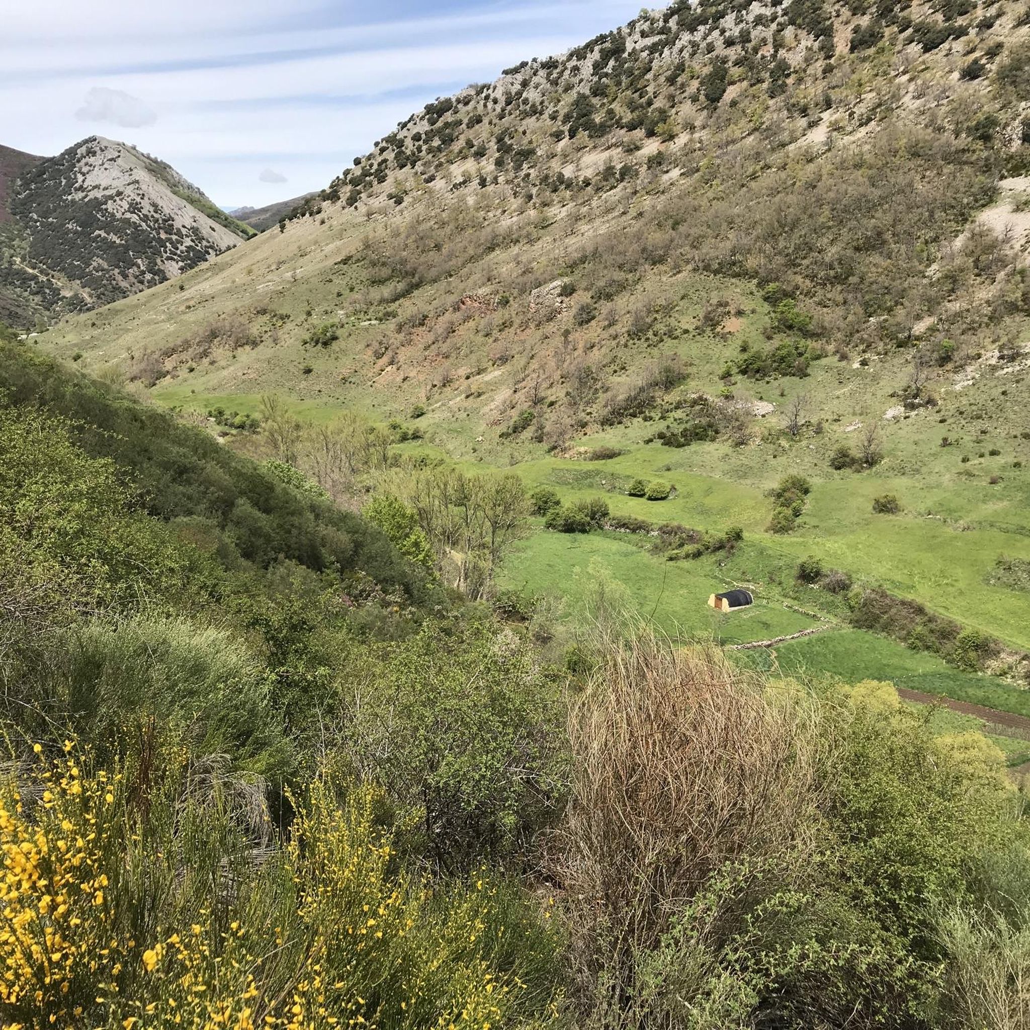
コミュニティからのヒント

The Redipuertas waterfall will amaze you with its crystal-clear waters in a setting of great natural beauty, surrounded by mountains and green meadows. It's a very accessible and picturesque spot.
1
0

Nocedo Waterfall, also known as Cola de Caballo Waterfall, is one of the most accessible and spectacular natural spots in the Central León Mountains, located near Nocedo de Curueño, in the municipality of Valdepiélago. Approximately 4 meters high, it was formed by the Valdecésar stream as it negotiates a steep drop on its way to the Curueño River.
4
0

La Collada de la Vid is a mountain pass located in the La Vid de Gordón area of León, Spain. It connects several villages and is part of historical and hiking trails in the area. Main features: • La Collada de la Vid is located near towns such as Buiza and Villasimpliz, and is part of traditional routes such as the Camino Real and the Northern Route of the Camino de Santiago to San Salvador de Oviedo. • In this area is the Hermitage of San Lorenzo, of historical and cultural significance, which opens its doors on August 10th for a pilgrimage. • The Las Colladas route from La Vid de Gordón is of medium difficulty, with a distance of approximately 12 km and an estimated time of 4 hours. • La Collada Villar, near La Vid, is a mountain pass with an ascent of about 3.3 km and an average gradient of about 7%, also used for cycling and hiking activities.
0
0
The Collada de Cármenes is a mountain pass located in the province of León, in the north-central area, near the town of Cármenes. Access and Routes • It can be ascended from two main slopes: • From Cármenes: 3.5 km route, with a vertical drop of 185 m and an average gradient of 5.24%. Maximum altitude: 1,337 m. • From Villamanín: 4.9 km route, a vertical drop of 200 m and an average gradient of 4.12%. Maximum altitude: 1,337 m
0
0
The Vegacervera Gorges are a protected natural area in the north of the province of León, Castile and León, Spain, near Asturias. • It is an impressive canyon carved by the Torío River, with limestone walls that exceed 100 meters in height and, in some sections, barely 15 meters wide. • The area encompasses municipalities such as Vegacervera, Cármenes, Matallana de Torío, and Valdepiélago.
0
0

The Hoces de Vegacervera are beautiful. Go slowly, stop, and contemplate the landscape. It is spectacular.
1
0

Geologists group sedimented rocks into units called "formations", these are groups of rocks with a specific age and characteristics that can be recognized in the field and, therefore, represented on a geological map. Every formation has a reference outcrop, as representative and accessible as possible, known as a "stratotype." The stratotype of the La Vid Group is located in La Vid de Gordón, a set of four formations from the Devonian period that are named Felmin, La Pedrosa, Val Porquero and Coladilla. Each of them presents different types of rocks, as were the conditions in which they were formed. A tour of this stratotype. It allows us to verify that the Paleozoic seas were changing, due to the evidence that these changes have left in the rocks.
1
0

It is 50 meters from the road. It is accessed by some footbridges. Bike on the shoulder Please be calm: be discreet
0
0
マタジャナデトリオでのの人気観光スポット

komootモバイルアプリでインスピレーションを得よう


さらに探索
他の地域の最高のロードサイクリングルートを見てみましょう。
