ブリッジャー山脈のおすすめMTBライド
5.0
(2)
282
ライダー
22
ライド
ブリッジャー山脈でマウンテンバイクを楽しめば、ギャラティン郡のこのエリアをより深く知ることができます。このエリアを最大限に満喫できるように、komootがマウンテンバイクルートのコレクション全体を評価して選び抜いた人気ルートをご紹介します。次の冒険にぴったりのマウンテンバイクルートを見つけるには、以下のルートをクリックしてkomootのマウンテンバイクコミュニティのメンバーが投稿した役立つ情報や写真を閲覧し、各ルートに関してみんなが気に入った点などを参考にしましょう。
最終更新日: 10月 10, 2026
41
ライダー
49.8km
04:54
1,270m
1,280m
難しいマウンテンバイクライド. 標準以上のフィットネスレベルが必要です。 高度なライディングスキルが必要です。
1
ライダー
8.24km
00:57
270m
270m
中程度のマウンテンバイクライド. あらゆるフィットネスレベルに適しています。 高度なライディングスキルが必要です。

20.3km
02:25
750m
750m
中程度のマウンテンバイクライド. ある程度のフィットネスレベルが必要です。 あらゆるスキルレベルに適しています。
19.3km
02:17
690m
690m
中程度のマウンテンバイクライド. ある程度のフィットネスレベルが必要です。 あらゆるスキルレベルに適しています。
25
ライダー
24.2km
02:32
740m
740m
中程度のマウンテンバイクライド. ある程度のフィットネスレベルが必要です。 高度なライディングスキルが必要です。
5.0
(1)
18
ライダー
30.5km
02:26
380m
380m
中程度のマウンテンバイクライド. ある程度のフィットネスレベルが必要です。 あらゆるスキルレベルに適しています。
23
ライダー
15.5km
01:21
190m
190m
初級者向けMTBライド. あらゆるフィットネスレベルに適しています。 あらゆるスキルレベルに適しています。
6
ライダー
27.7km
02:42
720m
720m
中程度のマウンテンバイクライド. ある程度のフィットネスレベルが必要です。 高度なライディングスキルが必要です。
4
ライダー
28.6km
02:35
730m
730m
中程度のマウンテンバイクライド. ある程度のフィットネスレベルが必要です。 あらゆるスキルレベルに適しています。
さらに多くのルートや他のユーザーのおすすめ情報を確認できます。
すでにアカウントをお持ちですか?
おすすめのツアーは他のkomootユーザーが実際に経験した何千ものアクティビティに基づいています。
無料アカウントで今日から始めよう
次の冒険が待っています。


コミュニティからのヒント

Commonly referred to as the "Cow Trails," the Highland Glen Nature Preserve has a network of single track and double track trails that are open to biking, running, and hiking. In the winter, this is a cross country ski area. The trails get their nickname from the herd of cows that lives in the preserve. Make sure to always close and latch any gates that you go through!
0
0

This is the northern terminus for the Gallagator Trail. The trail is a popular route for walkers and cyclists. It is crushed gravel and takes you into the center of Bozeman via a beautiful tree lined gravel path.
0
0
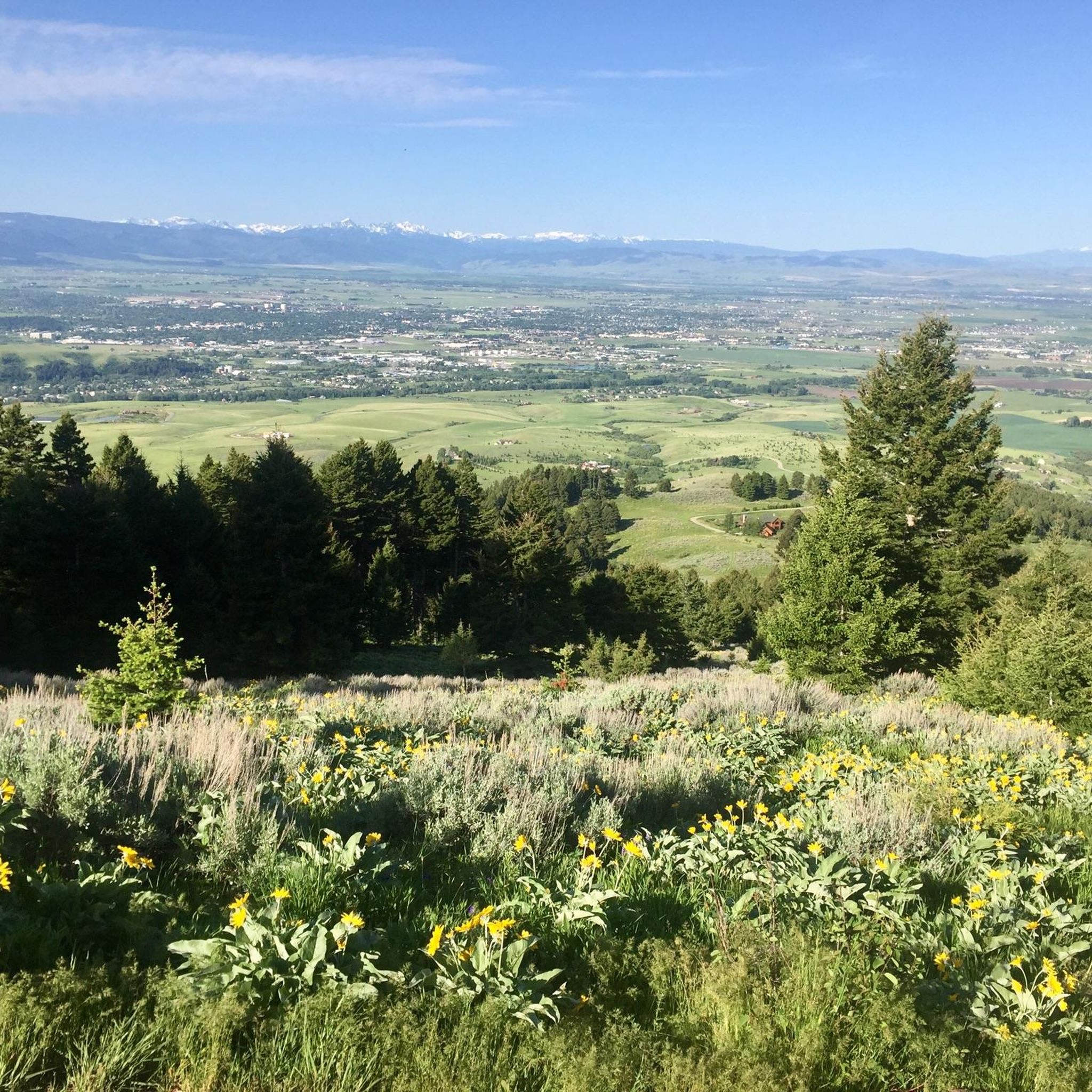
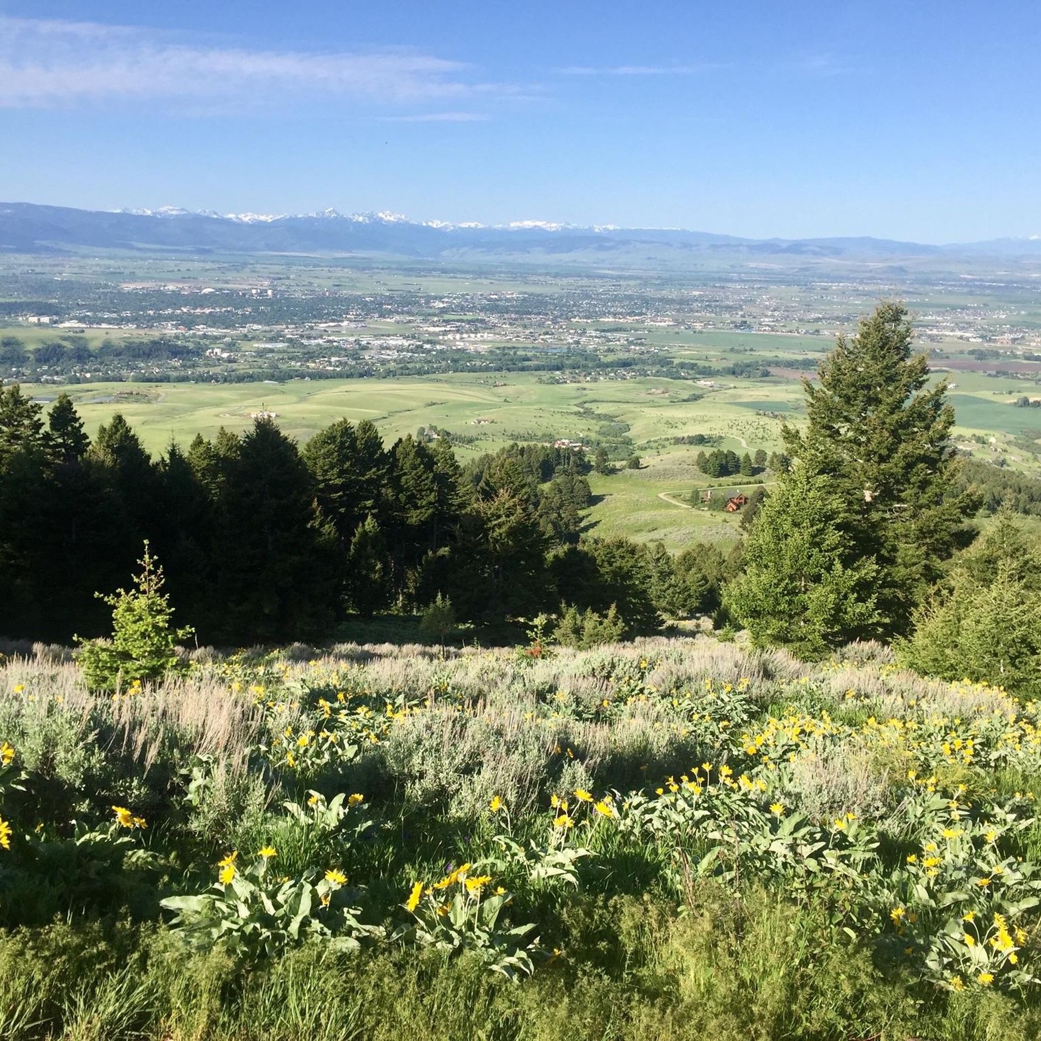
This is the trail head for the Triple Tree Trail. It is a popular loop in the southern suburbs of Bozeman, frequented by runners, hikers, and bikers. Expect to encounter plenty of other trail users, especially on nice days. Much of the route winds through forested areas, eventually leading to a bald summit with a bench and sweeping views of Bozeman and the Bridger Range. The lookout is exposed, offering little to no shade.
0
0

don'tiss the turn up the single track. My tracker went into sleep, but if you sleep you might miss the turn
0
0

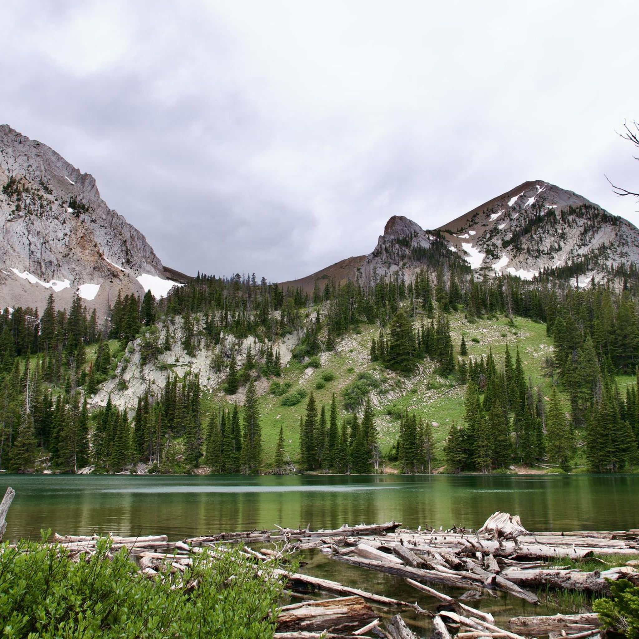
Great alpine lake sitting in a cirque/basin at the base of Sacajawea Peak. The main access trail is a gentle grade of switchbacks to the lake's edge for magnificent views of the pristine lake and the dramatic mountains behind. There is a rougher rooted out trail that encircles the lake, and you can take the steps back up to the trail head, which is a "shortcut". Highly recommended! There are longer trails that access the lake, too, if you want a longer hike and better workout. Campground nearby, mostly just tents, since trailers can't be hauled up the rough access road.
0
0
This is a nice collection of Ridgeline trails southeast of downtown Bozeman that offer stunning views of the surrounding mountain peaks and the Gallatin Valley. The trails connect the Bozeman Library and extend all the way to Kagy Boulevard.
0
0

Peet's Hill in Burke Park is popularly known for its scenic trails and panoramic views. Peet's Hill has a network of well-maintained trails that weave through grassy meadows and wooded forests.
0
0
Burke Park is a dirt and crushed gravel trail system on a small mesa on the east side of Bozeman. The mesa provides a vantage point with views of several mountain ranges circling around the city, and there is plenty of open space for dogs and kids to run around (though there are signs asking users to control dogs with a leash). The trails range from wide, road width trails to singletrack, but the vertical gain and loss on the park trails is minimal. Pete's Hill is the name of the lookout point with benches on the most northern side of the park. This is a popular park for lots of different trail users, and it's likely you'll encounter others out on a hike.
0
0
ブリッジャー山脈での人気観光スポット

komootモバイルアプリでインスピレーションを得よう


さらに探索
他の地域の最高のMTBトレイルを見てみましょう。
