サンタエウラリアバジェラのおすすめライド
4.5
(2)
636
ライダー
34
ライド
サンタエウラリアバジェラ周辺のロードバイクルートをお探しですか?ここでは、komootが提供するサンタエウラリアバジェラでのロードバイクライドのコレクション全体を評価して選び抜いた人気ルートをご紹介します。各ライドの詳細をぜひご覧ください。
最終更新日: 9月 4, 2026
38
ライダー
65.7km
03:19
1,050m
1,060m
難しいロードライド. 標準以上のフィットネスレベルが必要です。 全般的に舗装状態が良好で走行しやすい道です。
38
ライダー
54.5km
02:26
500m
500m
Cycle 33.9 miles (54.5 km) from Arnedo to Autol, exploring the Cidacos Valley and the unique El Picuezo y la Picueza rock formations.

無料新規登録
7
ライダー
21.9km
01:00
260m
260m
An easy 13.6-mile (21.9 km) road cycling loop along the Cidacos River, featuring the Red Cliffs of Herce and valley views.
11.6km
00:33
150m
140m
This easy 7.2-mile (11.6 km) circular road cycling route from Préjano offers scenic views of the Cidacos River Valley in La Rioja.
50
ライダー
52.9km
02:20
480m
480m
中程度のロードライド. ある程度のフィットネスレベルが必要です。 全般的に舗装状態が良好で走行しやすい道です。
さらに多くのルートや他のユーザーのおすすめ情報を確認できます。
無料新規登録
すでにアカウントをお持ちですか?
おすすめのツアーは他のkomootユーザーが実際に経験した何千ものアクティビティに基づいています。
無料アカウントで今日から始めよう
次の冒険が待っています。
ログインまたは登録
コミュニティからのヒント

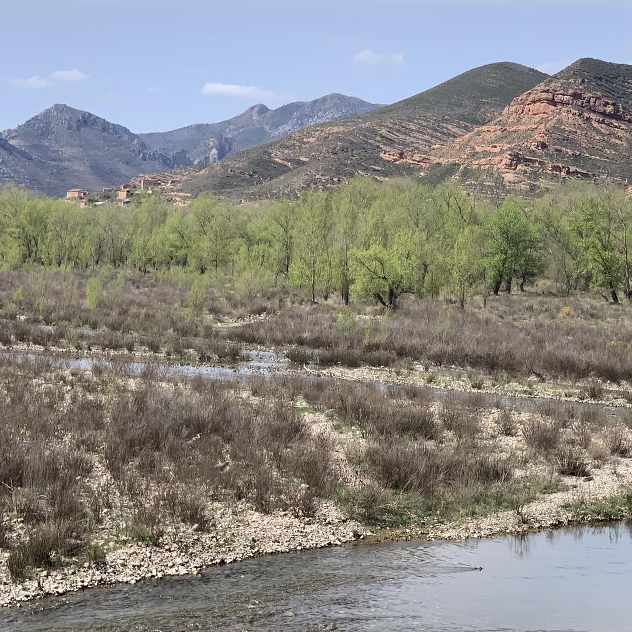
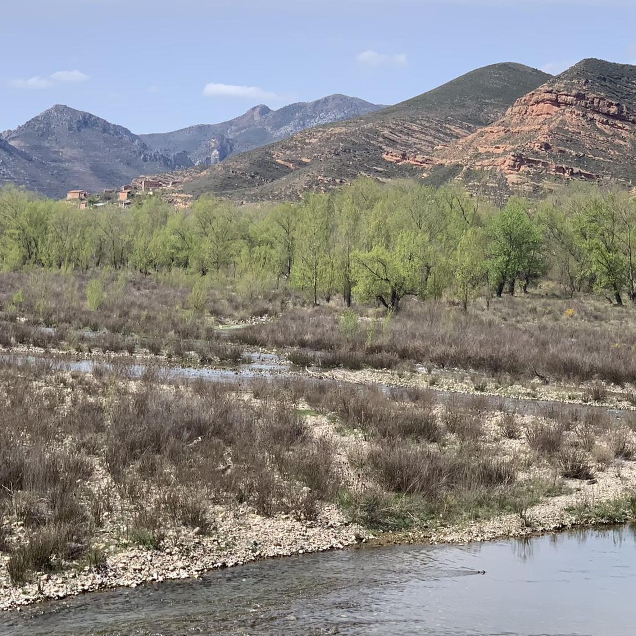
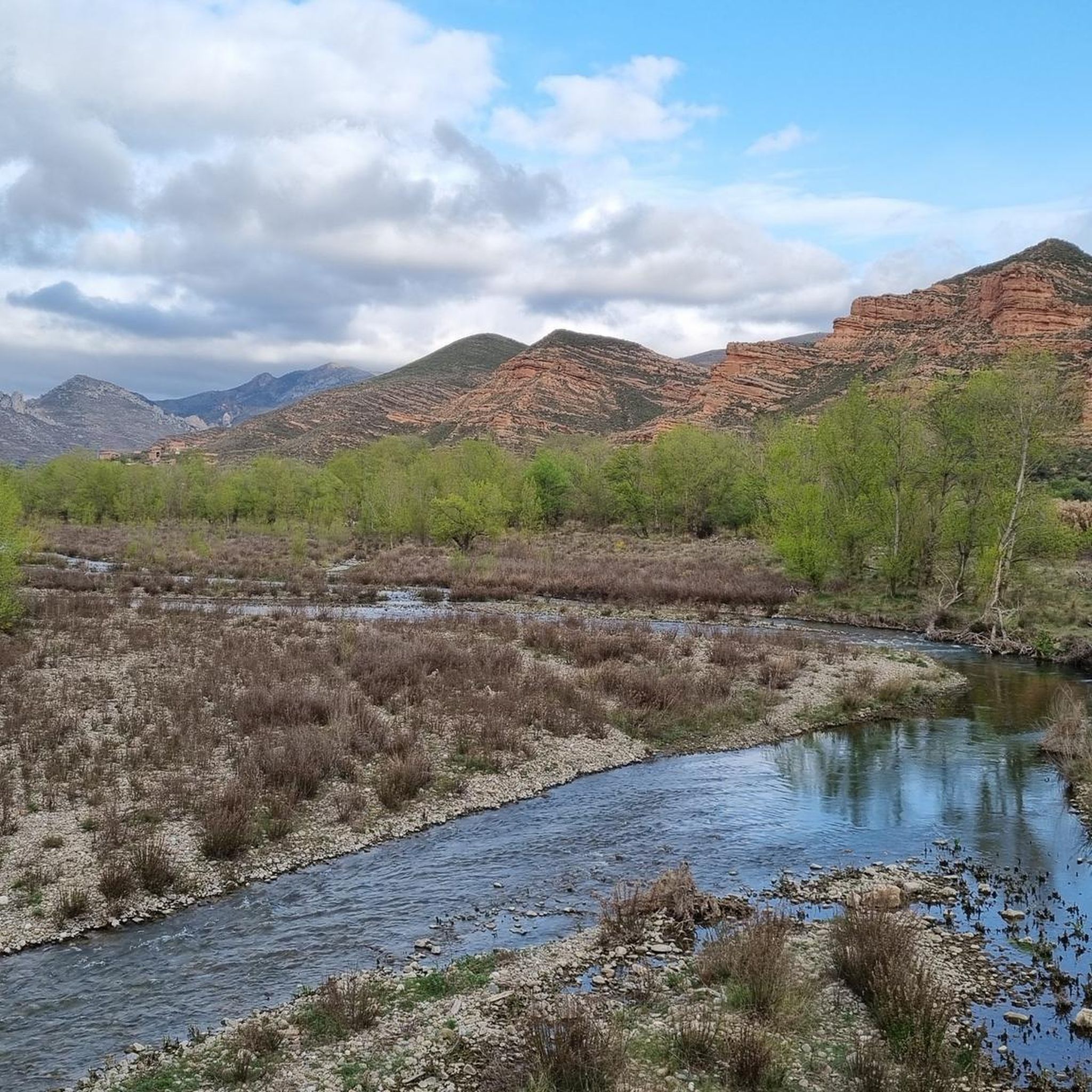
Beautiful views of the banks of the Cidacos.
0
0

Famous for its Cuevas del Ajedrezado caves, the LR-115 highway passes through Santa Eulalia Somera and Santa Eulalia Bajera with the impressive sheer rock as a guide.
0
0
The L-382 road runs along the gravel route of the Greenway before disappearing into a short tunnel. There is a nice wooden viewpoint over the valley.
0
0
Riding through the valley of the Cidacos River between the mountains of Bergasa and Cabimonteros with its dominant red rock towering above you.
0
0

Enciso has been declared a Biosphere Reserve by UNESCO because 3,000 dinosaur footprints have been found here. This paleo-adventure park shows you interactively how these prehistoric animals lived millions of years ago. It also has swimming pools, geysers, adventure circuits, a climbing wall, a restaurant and two cafeterias.
0
0
Enciso is located in a mountainous area of the Iberian system and is crossed by the Cidacos River. In the town there are more than 3,000 dinosaur footprints and it has a paleontological center with information on how they were formed.
0
0
Munilla is located at the foot of the Sierras de la Hez, Hayedo de Santiago and Cameros Viejos. It is famous for the many footprint sites found in its vicinity (around 900). The most important are those of "Peñaportillo" and "La Canal", which are 2 kilometers from Munilla and are easily accessible.
0
0

Above the cemetery, it is restored but I couldn't find a way to enter.
2
0
サンタエウラリアバジェラでのの人気観光スポット

komootモバイルアプリでインスピレーションを得よう


さらに探索
他の地域の最高のロードサイクリングルートを見てみましょう。
