アムリオのおすすめランニングルート
4.8
(10)
622
ランナー
26
ランニング
アムリオでランニングを楽しめば、このエリアをより深く知ることができます。ランニングに適した美しいルートが見つかるように、komootがアムリオでのルートのコレクション全体を評価して選び抜いた、人気ランニングトレイルをご紹介します。ルートをクリックして詳細を表示し、他のユーザーがアップロードした役立つ情報や写真を閲覧しましょう。
最終更新日: 10月 10, 2026
5.0
(1)
24
ランナー
9.89km
01:16
340m
340m
難しいジョギング. 標準以上のフィットネスレベルが必要です。 全般的に舗装された状態です。あらゆるスキルレベルに適しています。
18
ランナー
30.7km
04:49
1,490m
1,490m
難しいジョギング. 標準以上のフィットネスレベルが必要です。 安定して歩行できる技術、丈夫な靴、高標高地での登山経験が必要です。

14
ランナー
17.5km
02:13
600m
600m
難しいジョギング. 標準以上のフィットネスレベルが必要です。 全般的に舗装された状態です。あらゆるスキルレベルに適しています。
10
ランナー
8.56km
00:55
70m
70m
中程度のジョギング. ある程度のフィットネスレベルが必要です。 全般的に舗装された状態です。あらゆるスキルレベルに適しています。
9
ランナー
6.91km
00:43
50m
50m
中程度のジョギング. ある程度のフィットネスレベルが必要です。 全般的に舗装された状態です。あらゆるスキルレベルに適しています。
さらに多くのルートや他のユーザーのおすすめ情報を確認できます。
すでにアカウントをお持ちですか?
おすすめのツアーは他のkomootユーザーが実際に経験した何千ものアクティビティに基づいています。
無料アカウントで今日から始めよう
次の冒険が待っています。




コミュニティからのヒント

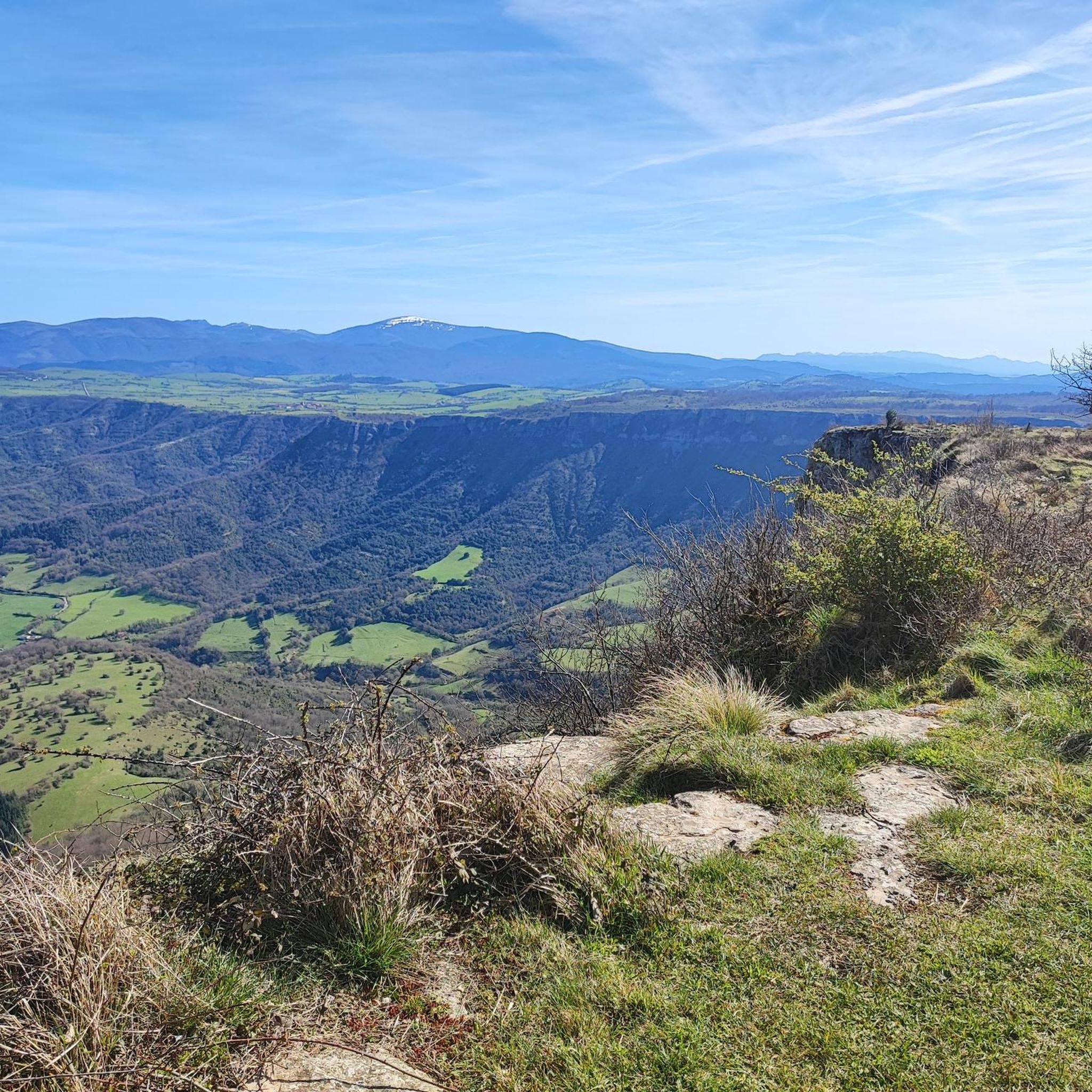
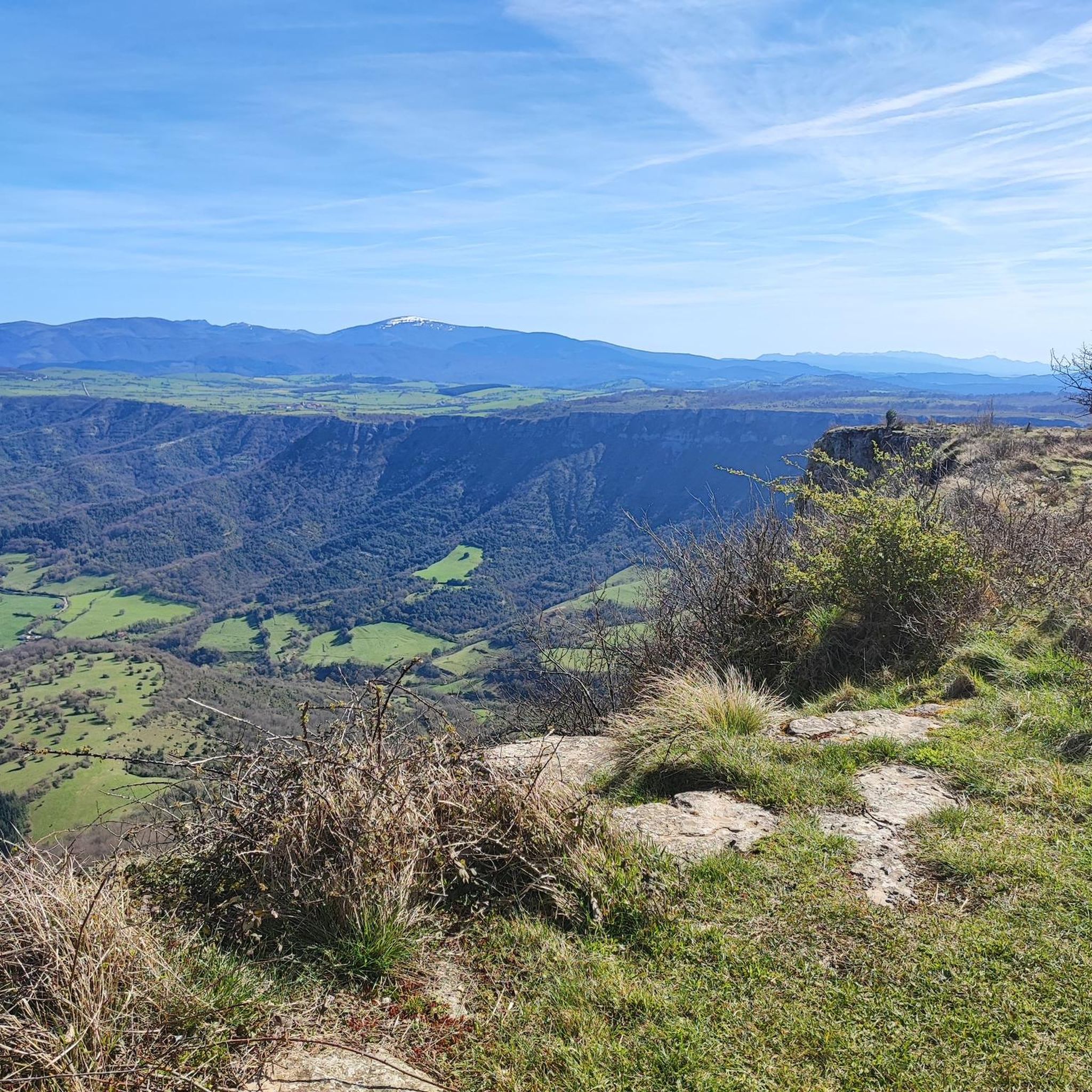
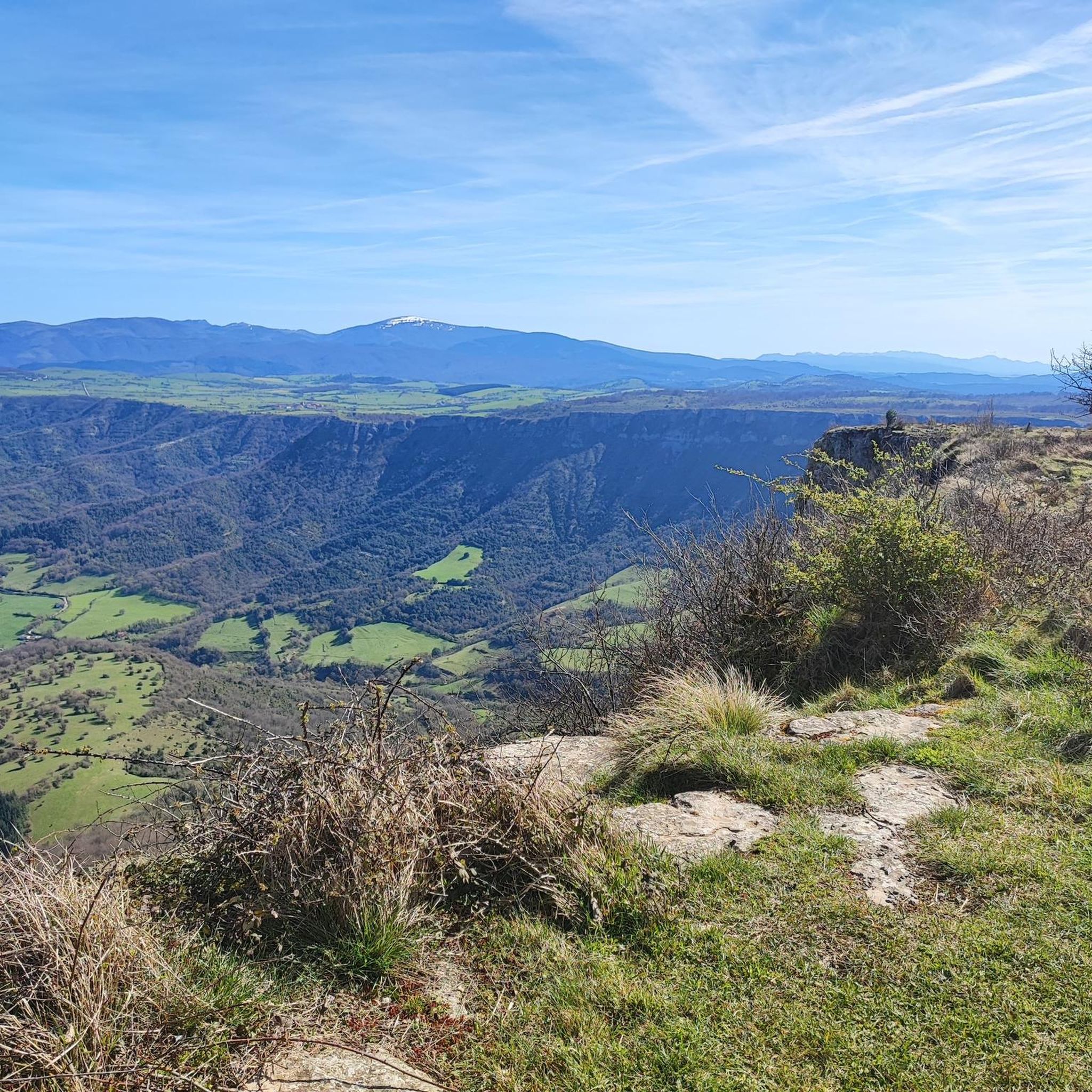
A fantastic waterfall, if the Rio Nervión is flowing. If not, the viewpoint is still spectacular.
2
0

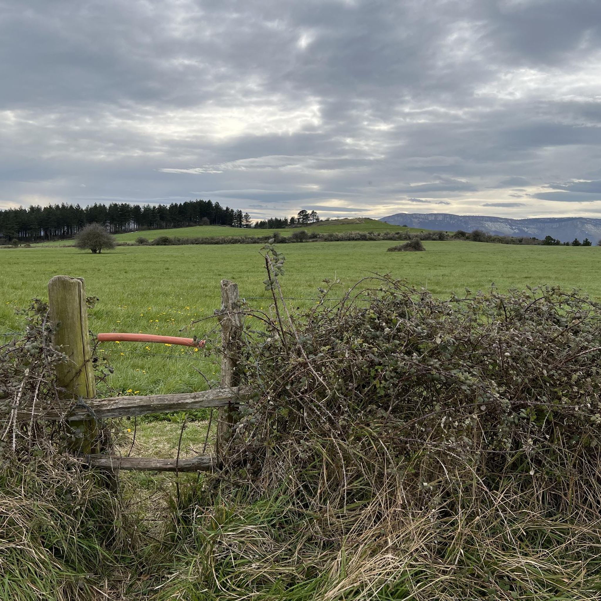
Amurrio was traditionally known as "El Crucero," a meeting point for routes between Castile and the Cantabrian ports. In the town center, the Ugarte Tower House (18th century), now the Cultural Center, the San Antón de Armuru Chapel (16th century), and the Church of Santa María with its 25-bell carillon, one of the largest in the Basque Country, stand out.
0
0

Unfortunately, the Nervión has no water today, 2.5.25, so the spectacular waterfall was only a viewpoint in the canyon
4
0

The Mirador is spectacular but not a drop of water from the waterfall when I went. Of course, I heard the water but I didn't see anything. The cuts are very worth it
2
0

Impressive viewpoint, especially if the waterfall carries water, something that doesn't happen much.
6
0

The Nervión waterfall, with its 222 meter drop, is the highest waterfall in the Iberian Peninsula. This impressive waterfall is located in the natural monument of Monte Santiago, in the province of Álava. It is a seasonal waterfall, since it only drops water in the thaw season or in heavy rain.
5
1

Beautiful Álava population located in the Ayala gang. Also known as "El crucero", since in the past it communicated the lands of Castilla with the important ports of the Cantabrian Sea. Among its main tourist and cultural attractions are the hermitage of San Antón, built in the 16th century; the Aresketamendi Open Air Museum or the Bicycle Museum.
0
0

A spectacular waterfall, it is impressive, it gives vertigo
3
1

komootモバイルアプリでインスピレーションを得よう


さらに探索
他の地域の最高のランニングトレイル & ルートを見てみましょう。
