ホーエンシュタインのおすすめツーリングルート
4.5
(5303)
21,494
ライダー
447
ライド
ホーエンシュタイン周辺で人気のサイクリングルートを走り、この自然公園の魅力を思いっきり満喫したい。そんなあなたのためにkomootおすすめのルートをまとめました。 ページを下にスクロールして、ホーエンシュタイン周辺でのバイクライドルートから気に入ったルートを選び、さっそく冒険に出かけましょう。
最終更新日: 10月 7, 2026
6
ライダー
9.87km
00:38
120m
120m
初級者向けバイクライド. あらゆるフィットネスレベルに適しています。 全般的に舗装された状態です。あらゆるスキルレベルに適しています。
1
ライダー
19.0km
01:39
330m
330m
難しい自転車ライド. ある程度のフィットネスレベルが必要です。 ツアーの一部で自転車を押して歩く必要があるかもしれません。

5.0
(3)
3
ライダー
9.77km
00:47
110m
110m
初級者向けバイクライド. あらゆるフィットネスレベルに適しています。 全般的に舗装された状態です。あらゆるスキルレベルに適しています。
4.8
(4)
3
ライダー
25.6km
01:53
370m
370m
中程度の自転車ライド. ある程度のフィットネスレベルが必要です。 全般的に舗装された状態です。あらゆるスキルレベルに適しています。
4.9
(10)
37
ライダー
31.3km
02:26
480m
480m
難しい自転車ライド. 標準以上のフィットネスレベルが必要です。 ツアーの一部で自転車を押して歩く必要があるかもしれません。
さらに多くのルートや他のユーザーのおすすめ情報を確認できます。
すでにアカウントをお持ちですか?
おすすめのツアーは他のkomootユーザーが実際に経験した何千ものアクティビティに基づいています。
無料アカウントで今日から始めよう
次の冒険が待っています。


ホーエンシュタインでのの他の冒険


コミュニティからのヒント


The Süntel Tower is temporarily closed. It may reopen on April 1st, 2026.
2
0

Very friendly service, a fantastic selection of food, all excellently prepared! A great place to stop for a bite to eat, even if you're not cycling. It's said to get really busy here on weekends, so reservations are recommended.
0
0

Things are looking up, even if it doesn't look like it...
1
0

On October 16, 1962, two Republic F-84F Thunderstreak fighter jets crashed into the Hohe Egge mountain range in dense fog, killing both Belgian pilots. Thirty-nine years after the accident, a memorial was erected in Süntel to commemorate the two pilots. The memorial stands halfway up the Steinweg path between Falltal and the Süntel Tower – directly next to the crash site! It was erected by D. Hartmann of Hülsede.
1
0


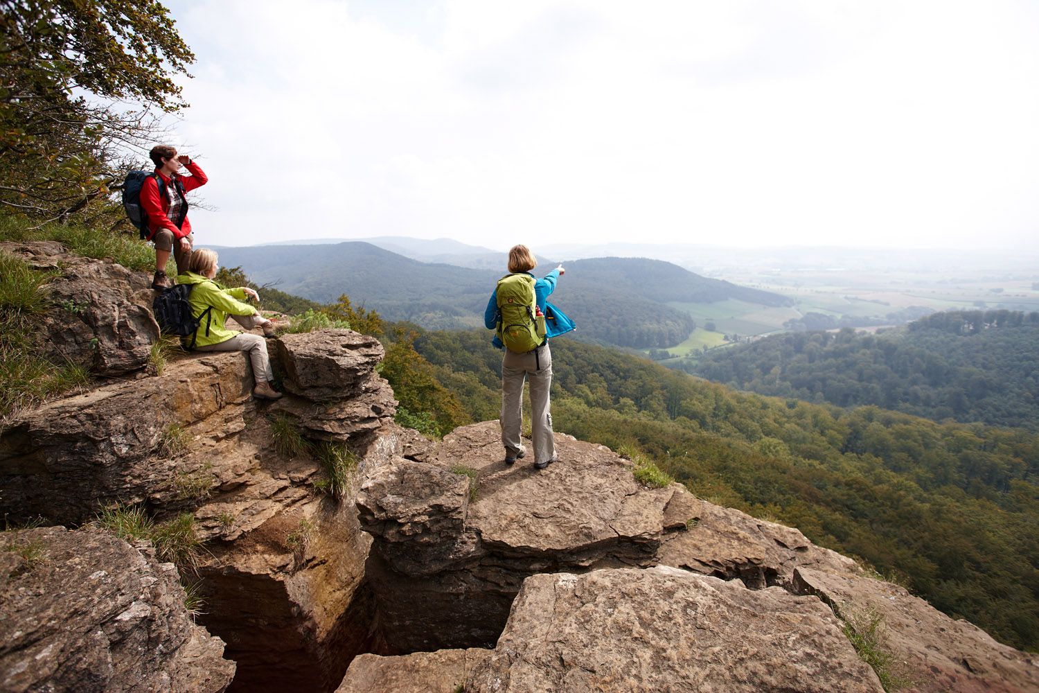
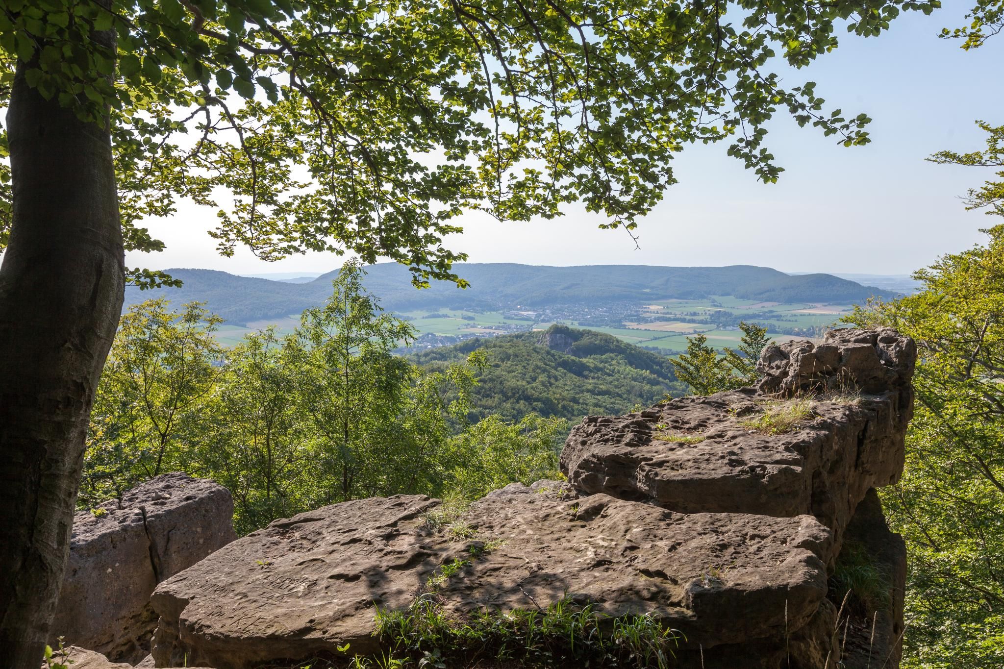
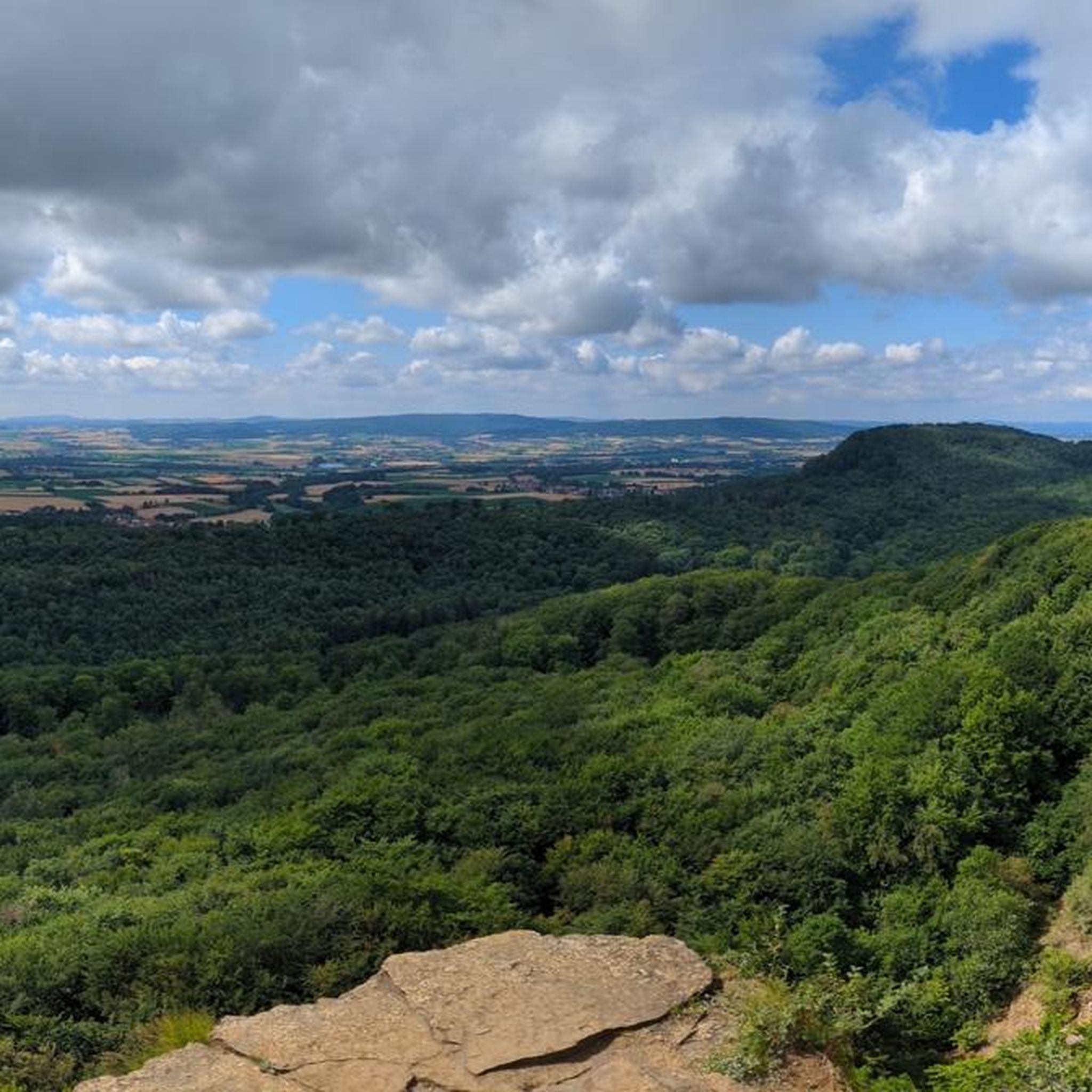
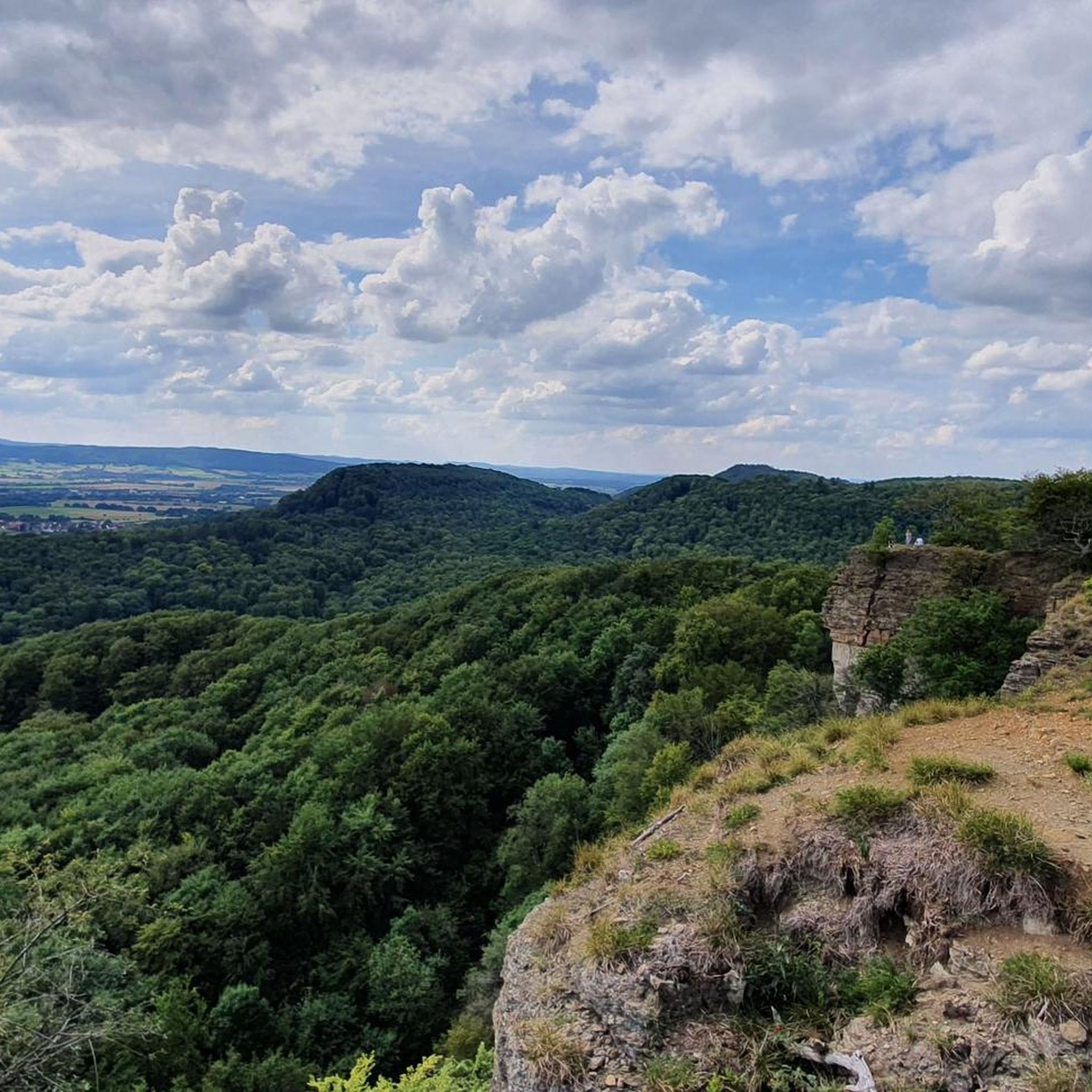
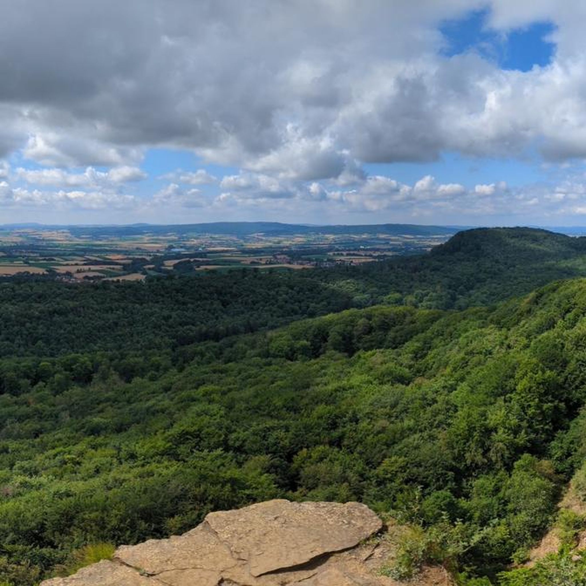
The Teufelskanzel (Devil's Pulpit) is a striking vantage point in the Weser Mountains near Hessisch Oldendorf, about 16 kilometers northwest of Rinteln. It is located on the Hohenstein, a wooded plateau at an altitude of approximately 340 meters, and offers impressive views over the Weser Valley and the surrounding Weser Uplands. The Teufelskanzel rock formation is part of the Hohenstein cliffs, which are up to 40 meters high and also include the "Green Altar" and the "Hirschsprung" (Deer Leap). These cliffs drop steeply to the Weser River and are accessible via well-marked hiking trails. The ascent involves some steep steps and requires surefootedness. Once at the top, the view rewards the effort with a magnificent panorama. The region around the Teufelskanzel is rich in myths and legends. It is said that the devil once preached here, which gave the rock formation its name. Other points of interest are nearby, such as the "Green Altar," which is considered a historically significant site and may have once served as a sacrificial site. For hikers, there's a circular route that leads from Zersen through the Blutbach Valley up to Hohenstein. The route is approximately eight kilometers long and leads through diverse landscapes with deciduous forests and open rocks. There are several rest stops along the way, including the Baxmannbaude hut, which is a great place to stop for a break.
0
0
The Blutbach Valley at the foot of the Hohenstein in the Süntel Mountains near Hessisch Oldendorf is a fascinating destination for hikers and cyclists who want to combine nature with history and legend. The Blutbach stream, which gives the valley its name, winds through a picturesque landscape of beech forests, rock formations, and natural trails. The name "Blutbach" goes back to a legend that tells of a bloody battle between the Franks and the Saxons in 782. According to this legend, the water of the stream was said to have turned red – an image that stands in stark contrast to the peaceful atmosphere of the valley today. A popular starting point for explorations is the Baxmannbaude, a hikers' hut that serves food and drinks on weekends. From here, various routes lead through the valley and up to the Hohenstein. The HO7 Hohenstein Route is particularly recommended, a 12.4km circular hike that leads through the Hohenstein Nature Reserve with its impressive cliffs, such as the Teufelskanzel (Devil's Pulpit) and the Grüner Altar (Green Altar).   Along the way, you'll come across the Riddekreuz (Ridde Cross), a stone cross commemorating a hunting accident in 1584. An information panel explains the history of this place. 
0
0
ホーエンシュタインでのの人気観光スポット

komootモバイルアプリでインスピレーションを得よう


さらに探索
他の地域の最高のサイクリングルートを見てみましょう。
