エスパラゴサデラレスのおすすめライド
22
ライダー
8
ライド
エスパラゴサデラレス周辺のロードバイクルートをお探しですか?ここでは、komootが提供するエスパラゴサデラレスでのロードバイクライドのコレクション全体を評価して選び抜いた人気ルートをご紹介します。各ライドの詳細をぜひご覧ください。
最終更新日: 10月 18, 2026
120km
05:43
1,430m
1,430m
This difficult 74.8-mile road cycling route climbs to the Castle of Puebla de Alcocer, offering panoramic views over the Embalse de Orellana
9
ライダー
81.9km
04:03
1,170m
1,170m
難しいロードライド. 標準以上のフィットネスレベルが必要です。 ツアーの一部に、未舗装のため走行が難しい箇所があるかもしれません。

7
ライダー
50.9km
02:32
680m
680m
中程度のロードライド. ある程度のフィットネスレベルが必要です。 ツアーの一部に、未舗装のため走行が難しい箇所があるかもしれません。
3
ライダー
70.5km
03:16
770m
770m
中程度のロードライド. ある程度のフィットネスレベルが必要です。 ツアーの一部に、未舗装のため走行が難しい箇所があるかもしれません。
3
ライダー
116km
05:23
1,240m
1,240m
難しいロードライド. 標準以上のフィットネスレベルが必要です。 全般的に舗装状態が良好で走行しやすい道です。
さらに多くのルートや他のユーザーのおすすめ情報を確認できます。
すでにアカウントをお持ちですか?
おすすめのツアーは他のkomootユーザーが実際に経験した何千ものアクティビティに基づいています。
無料アカウントで今日から始めよう
次の冒険が待っています。
エスパラゴサデラレス周辺で人気
コミュニティからのヒント


Located south of Castilblanco, this town is surrounded by ferruginous springs. Here we find an Almohad-era castle, now devoid of walls and decoration, built on an octagonal plan atop a high crag south of the town, on a summit that is difficult to access.
2
0
The castle sits atop a hill in Puebla de Alcocer (Badajoz, Extremadura), approximately 550 meters above sea level. Its origins date back to the 12th and 13th centuries, possibly built upon the site of an earlier Mudéjar fortress. It was remodeled in 1445 after being donated to Don Gutierre de Sotomayor, Master of the Order of Alcántara, by King John II of Castile. At the end of the 15th century, it passed to Doña Elvira de Zúñiga, as reflected in the coat of arms on the keep.
2
0
It is a mountain pass that connects areas of the Sierra de los Villares and Mirabueno. It is part of old livestock routes such as the Cañada Real Segoviana, historically used for transhumance. Landscapes: Sierras de Mirabueno and Los Villares, with forests and landscapes such as Tabla Corta (Boquerón Park) on the Guadalemar River. Ideal for hiking, cycling, and nature photography.
11
0
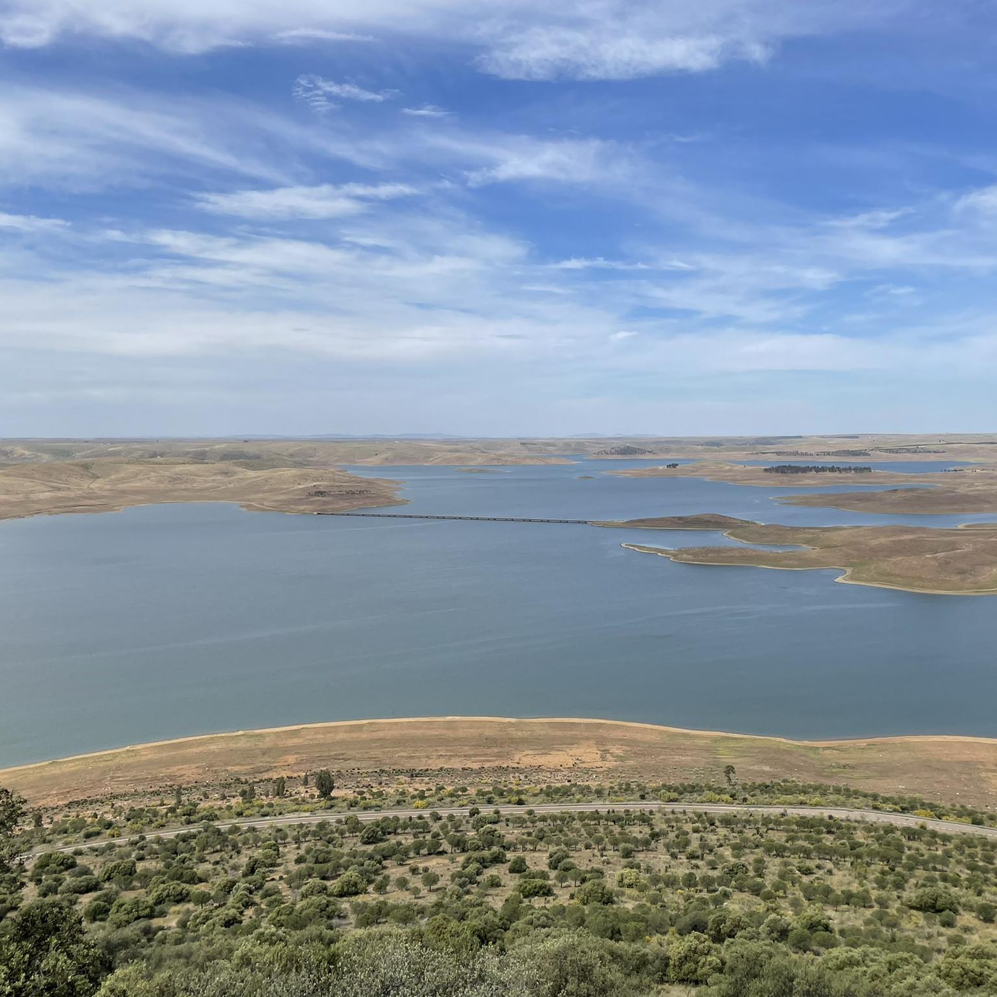
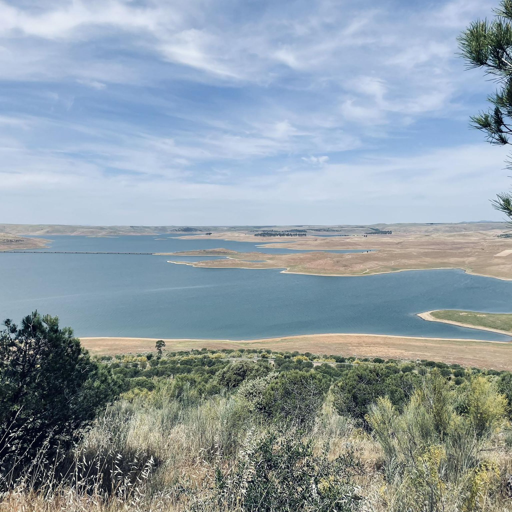
The García de Sola Reservoir, also known as Puerto Peña, is located on the Guadiana River, in the La Siberia Extremeña region (Badajoz). It was built in 1962 as part of the Badajoz Plan and has a capacity of 554 hm³. It is an emblematic site for its natural, scenic, and recreational value.
5
0
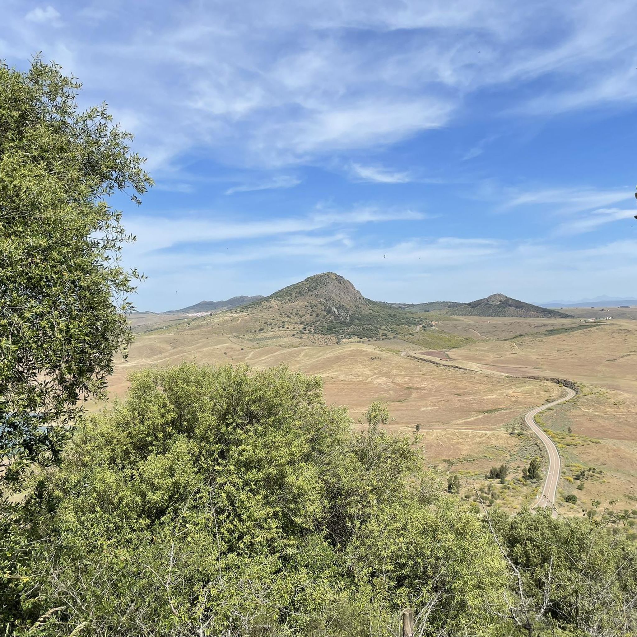
Cerro Masatrigo is a hill located in the municipality of Esparragosa de Lares. This hill is known for its almost perfect conical shape, which has earned it the nickname "the magic mountain." It rises 501 meters above sea level and 161 meters above the surrounding terrain. After the construction of the La Serena Dam, Cerro Masatrigo became a peninsula surrounded by the waters of the reservoir.
1
0
Cerro Masatrigo is a hill located in the municipality of Esparragosa de Lares. This hill is known for its almost perfect conical shape, which has earned it the nickname "the magic mountain." It rises 501 meters above sea level and 161 meters above the surrounding terrain. After the construction of the La Serena Dam, Cerro Masatrigo became a peninsula surrounded by the waters of the reservoir.
6
0

This spectacular reservoir was built during the 1960s. The reflection of the sunsets in the water and the surrounding landscape make it a must-see if you're exploring the Guadiana Nature Trail.
0
1
エスパラゴサデラレスでのの人気ルート
エスパラゴサデラレスでのの人気観光スポット

komootモバイルアプリでインスピレーションを得よう


さらに探索
他の地域の最高のロードサイクリングルートを見てみましょう。
