ガラヨアのおすすめツーリングルート
4.5
(77)
966
ライダー
41
ライド
ガラヨア周辺でのおすすめのサイクリングルートを参考にして、このエリアを最大限に楽しみましょう。ここでご紹介するのは、ガラヨア周辺の人気バイクライドです。ぜひ、自分に合ったルートを見つけてください。
最終更新日: 10月 18, 2026
5.0
(1)
17
ライダー
48.2km
04:10
1,120m
1,130m
難しい自転車ライド. 標準以上のフィットネスレベルが必要です。 ツアーの一部で自転車を押して歩く必要があるかもしれません。
4.0
(4)
20
ライダー
48.9km
03:44
1,230m
1,240m
難しい自転車ライド. 標準以上のフィットネスレベルが必要です。 全般的に舗装された状態です。あらゆるスキルレベルに適しています。

5.0
(1)
28
ライダー
36.5km
03:14
890m
890m
難しい自転車ライド. 標準以上のフィットネスレベルが必要です。 全般的に舗装された状態です。あらゆるスキルレベルに適しています。
15
ライダー
41.0km
03:34
1,050m
1,060m
難しい自転車ライド. 標準以上のフィットネスレベルが必要です。 ツアーの一部で自転車を押して歩く必要があるかもしれません。
4.0
(1)
17
ライダー
57.9km
04:25
1,250m
1,250m
難しい自転車ライド. 標準以上のフィットネスレベルが必要です。 全般的に舗装された状態です。あらゆるスキルレベルに適しています。
さらに多くのルートや他のユーザーのおすすめ情報を確認できます。
すでにアカウントをお持ちですか?
おすすめのツアーは他のkomootユーザーが実際に経験した何千ものアクティビティに基づいています。
無料アカウントで今日から始めよう
次の冒険が待っています。

コミュニティからのヒント


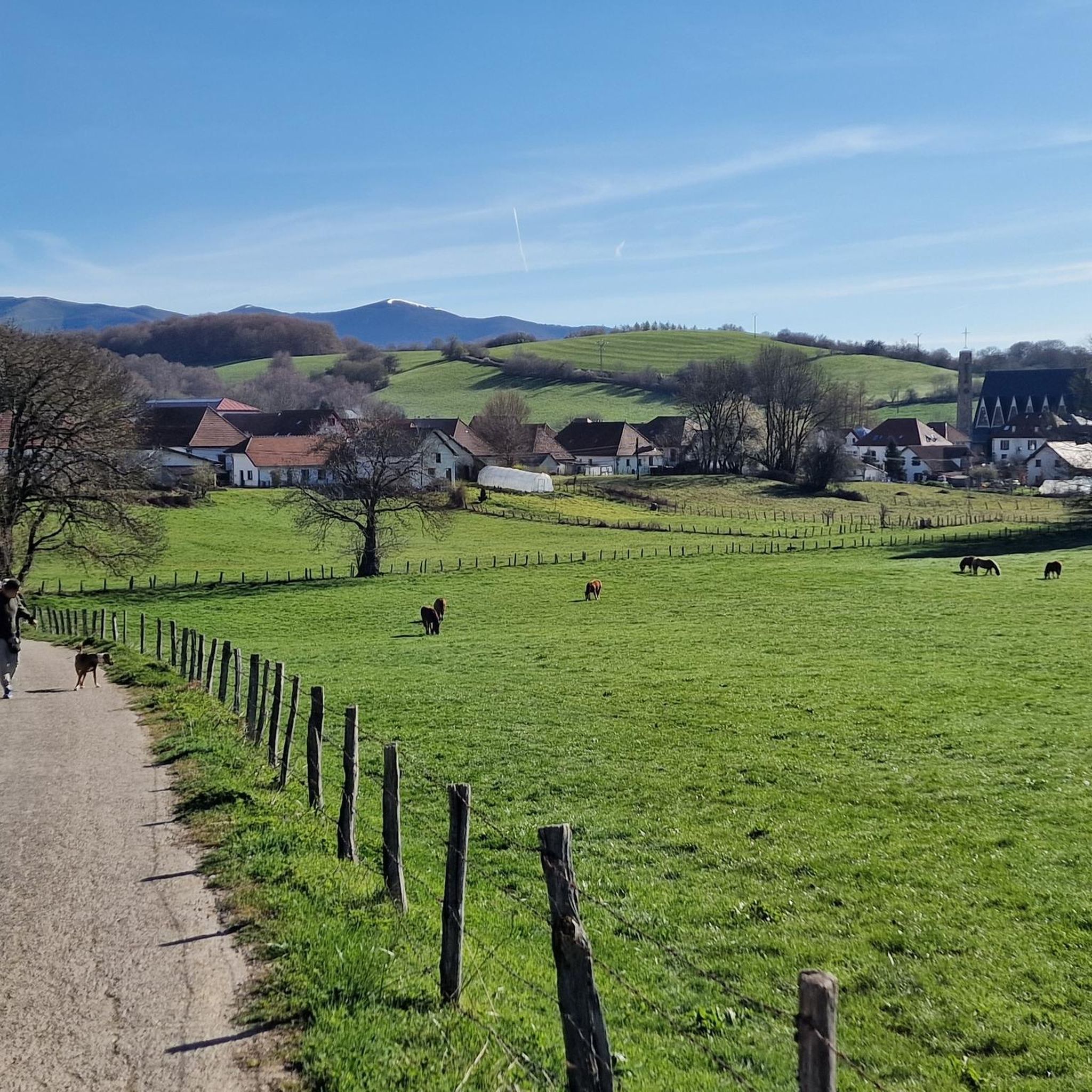
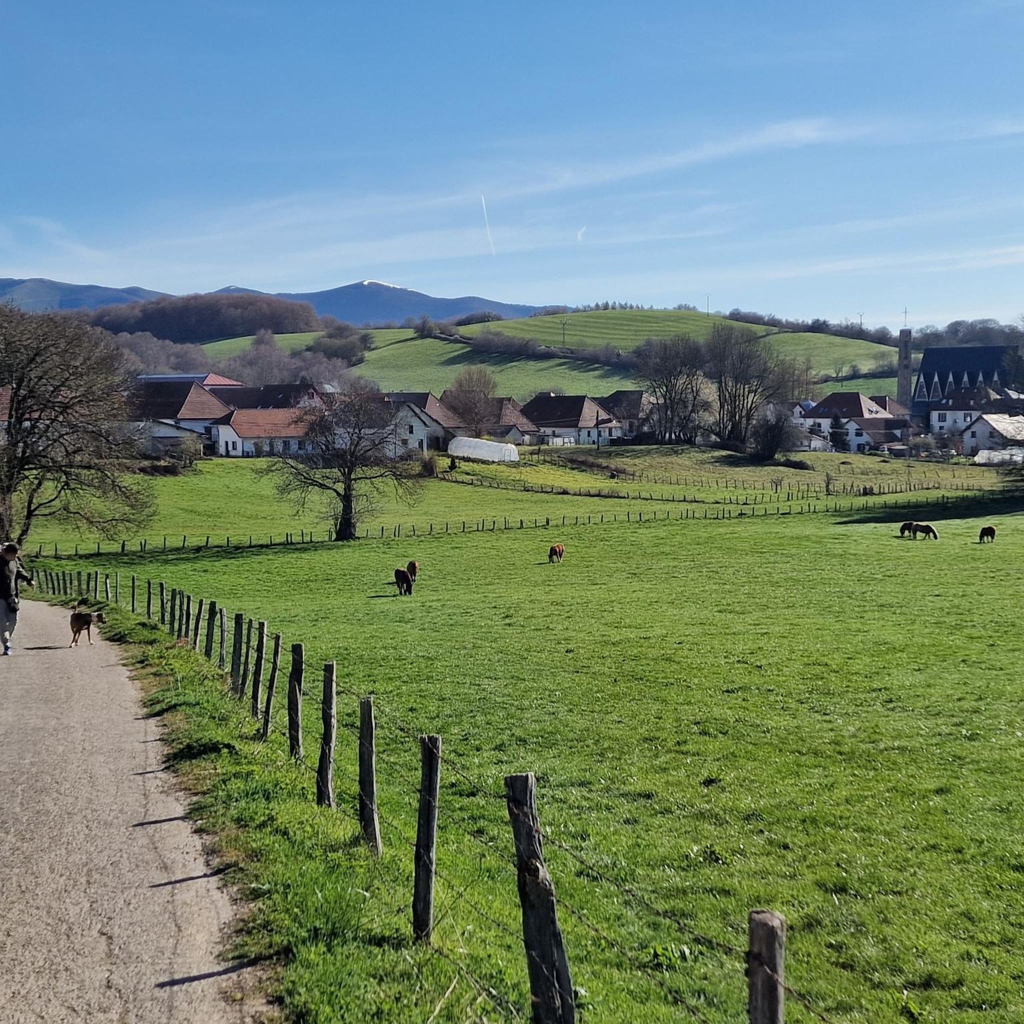
One of the most inhospitable and spectacular mountain passes in the eastern Pyrenees, with several slopes, all of them very difficult. The landscape is wild and wonderful. You can breathe absolute tranquility and you can dedicate yourself exclusively to enjoying the views, the horses, the sheep, the cows and the suffering on the bike. The summit is on the border with Spain, although there is no road that crosses the border, so the pass runs entirely in France. I have climbed it on 2 of its slopes. The first time I climbed it on the slope that crosses the Col d'Orgambide, on the D428 road, which starts from Estérençuby. The first 3 km are very easy, until you cross the detour to go up to Artaburu, where the road begins to have slopes of more than 10%. From there, to the summit, the climb is very hard, around 9%, on a very rough and bumpy road, with a lot of humidity and crossing a wonderful beech forest. Once you reach the top of the Col d'Orgambide, you turn right and continue climbing for another half kilometre with a gradient of 11%. There comes a small descent, to face the last 3 kms, the first 2 very hard with several 13% gradients. The last kilometre is very easy and has panoramic views that are simply wonderful. The second time I climbed it on the side that starts from Arneguy and Ondarolle. This side is harder than the previous one, with a central section that is hellish, being 6 kms at an average of 10%, and a very hard km at 12% and 18% gradients!!! The final part is more gentle. You cross the Croix de Thibault in the penultimate kilometre of the climb. The final kilometre is very gentle and with beautiful and exciting panoramic views.
1
0

ロンセスバーリェス(バスク語でオルレアガとしても知られる)は、スペイン北部ナバラ州にある小さな村です。特に778年の伝説的なロンセスバーリェスの戦いで有名で、カール大帝の殿軍が敗北した場所です。この歴史的かつ精神的な場所は、ガリシアにある聖ヤコブの墓への有名な巡礼路であるサンティアゴ巡礼路の重要な出発点でもあります。 ロンセスバーリェスでは、オルレアガの聖母像が崇拝されている印象的なゴシック様式のサンタ・マリア・デ・ロンセスバーリェス教会を鑑賞できます。その他の見どころには、サンティアゴ教会、聖霊礼拝堂、そして様々な時代の遺物、絵画、彫刻を見ることができる博物館・宝物庫があります。
3
1

The monastery complex is an impressive building and worth a visit. There are also two cafés, a hotel and the pilgrims' hostel.
1
0
After the long climb, this little spring is very welcome.
2
0
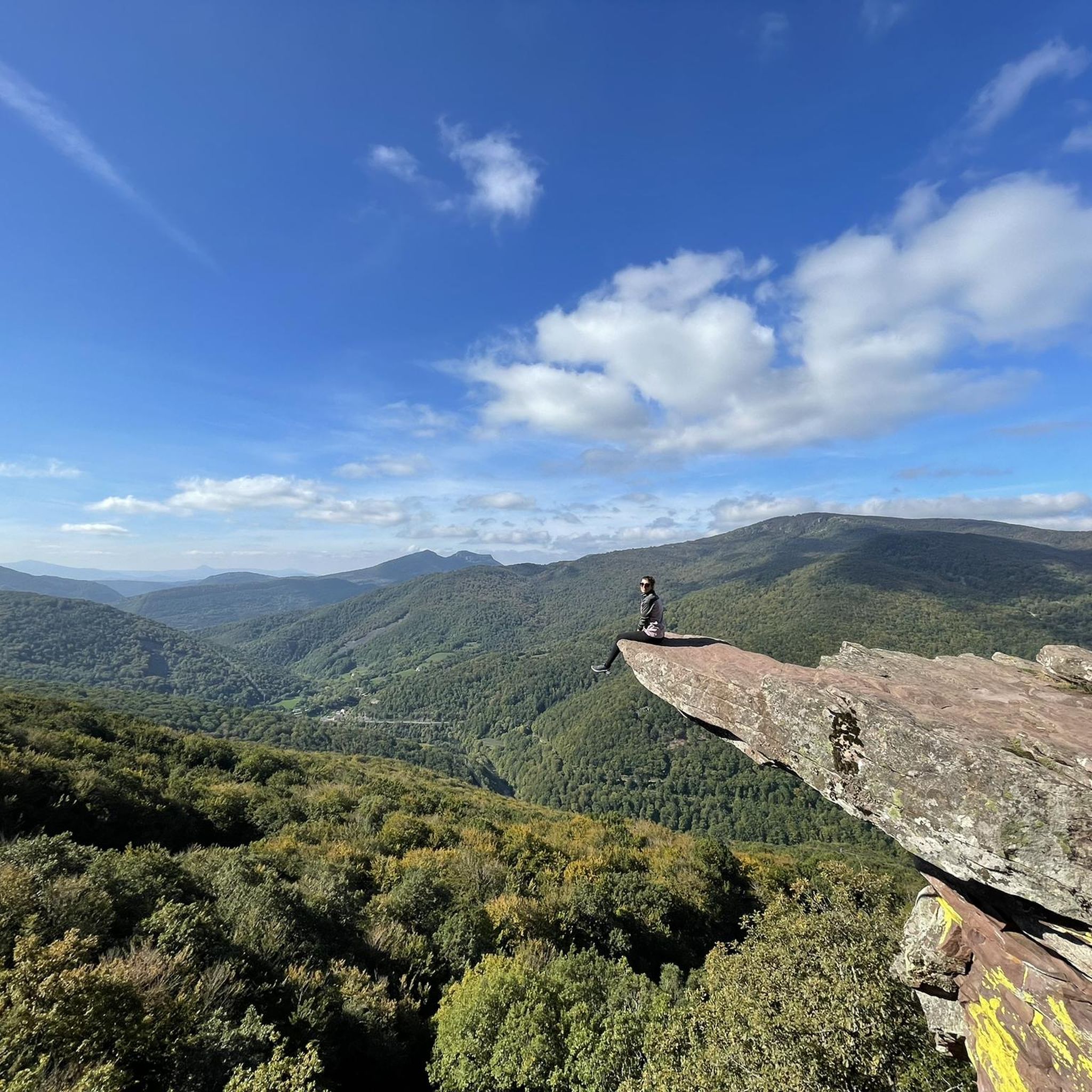
After a long climb, you finally make it to the Ibeneta Pass and can enjoy the view as a reward. Up here, there is a small chapel and a memorial stone to the knight Roland, who is said to have fallen here.
1
0
After a long climb, you finally make it to the Ibeneta Pass and can enjoy the view as a reward. Up here, there is a small chapel and a memorial stone to the knight Roland, who is said to have fallen here.
2
0
Col Burriegeta, also known as Puerto de Ibañeta, is a historic mountain pass in the Pyrenees, located between France and Spain. The pass is best known for its role in the Camino de Santiago, where pilgrims cross the border on their way to Santiago de Compostela1. The pass offers breathtaking views and is home to the modern chapel of San Salvador, which replaced an older chapel, and a monument to Roland, which commemorates the Battle of Roncesvalles in 778. Col Burriegeta is an important passage for both pilgrims and cyclists, who enjoy the challenging climb and the beautiful surroundings.
2
0
ガラヨアでのの人気観光スポット

komootモバイルアプリでインスピレーションを得よう


さらに探索
他の地域の最高のサイクリングルートを見てみましょう。
