カルノタのおすすめツーリングルート
4.8
(76)
6,243
ライダー
19
ライド
カルノタ周辺でのおすすめのサイクリングルートを参考にして、このエリアを最大限に楽しみましょう。ここでご紹介するのは、カルノタ周辺の人気バイクライドです。ぜひ、自分に合ったルートを見つけてください。
最終更新日: 8月 25, 2026
5.0
(2)
3,954
ライダー
44.7km
03:02
510m
510m
難しい自転車ライド. 標準以上のフィットネスレベルが必要です。 全般的に舗装された状態です。あらゆるスキルレベルに適しています。
4.3
(4)
272
ライダー
27.1km
01:42
270m
270m
中程度の自転車ライド. ある程度のフィットネスレベルが必要です。 全般的に舗装された状態です。あらゆるスキルレベルに適しています。

無料新規登録
5.0
(1)
198
ライダー
24.9km
01:51
410m
410m
中程度の自転車ライド. ある程度のフィットネスレベルが必要です。 全般的に舗装された状態です。あらゆるスキルレベルに適しています。
54
ライダー
30.8km
01:50
230m
230m
中程度の自転車ライド. ある程度のフィットネスレベルが必要です。 全般的に舗装された状態です。あらゆるスキルレベルに適しています。
5.0
(3)
36
ライダー
50.6km
03:28
760m
760m
難しい自転車ライド. 標準以上のフィットネスレベルが必要です。 全般的に舗装された状態です。あらゆるスキルレベルに適しています。
さらに多くのルートや他のユーザーのおすすめ情報を確認できます。
無料新規登録
すでにアカウントをお持ちですか?
おすすめのツアーは他のkomootユーザーが実際に経験した何千ものアクティビティに基づいています。
無料アカウントで今日から始めよう
次の冒険が待っています。
ログインまたは登録
コミュニティからのヒント

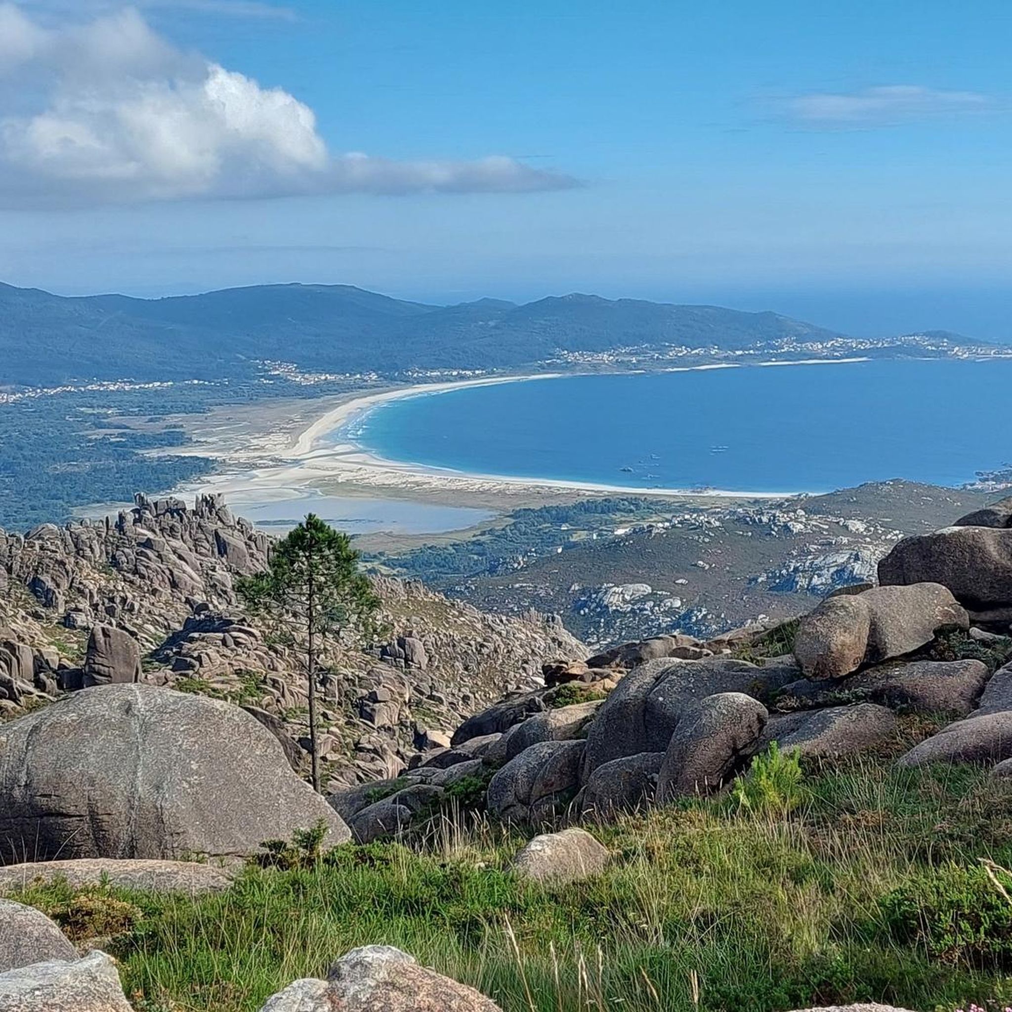
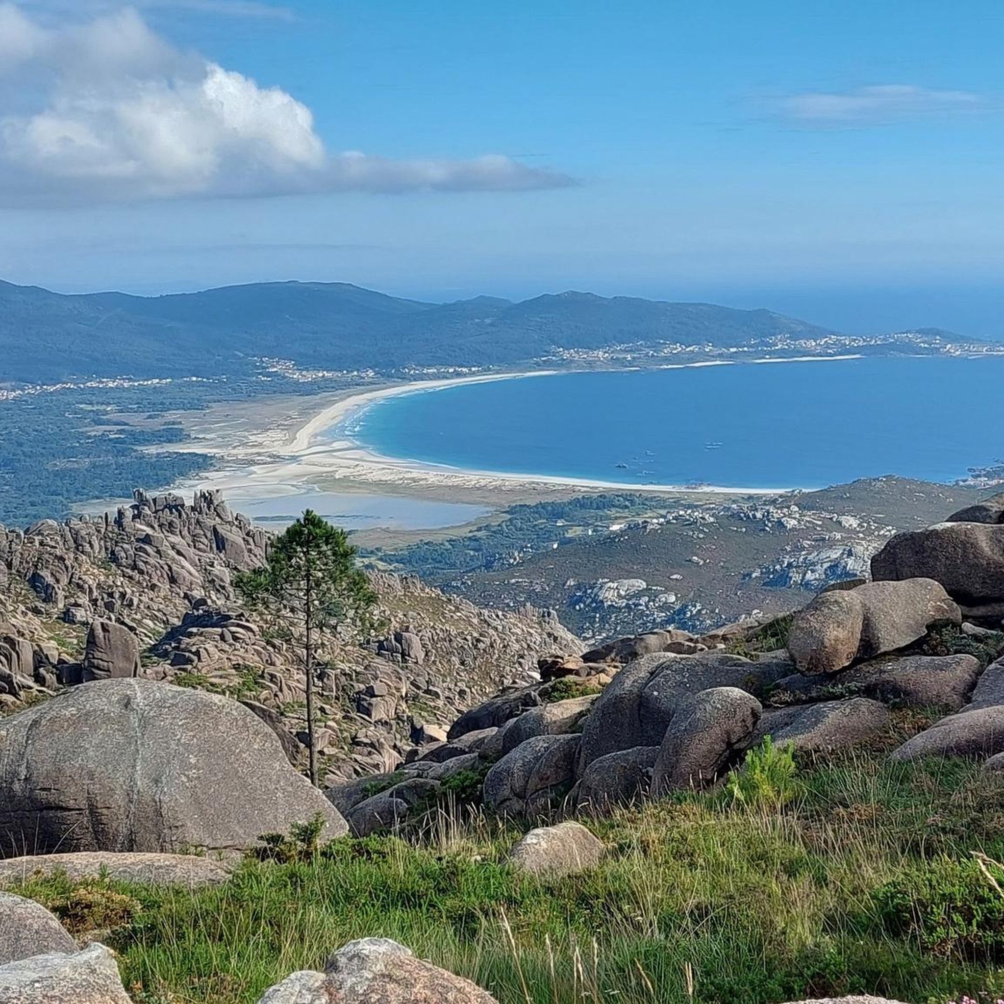
Ézaro Beach, located in the parish of O Ézaro (municipality of Dumbría, A Coruña), is one of the natural gems of the Costa da Morte in Galicia. It is especially known for its proximity to the famous Xallas River waterfall, which flows directly into the sea, a unique phenomenon in Europe.
4
0

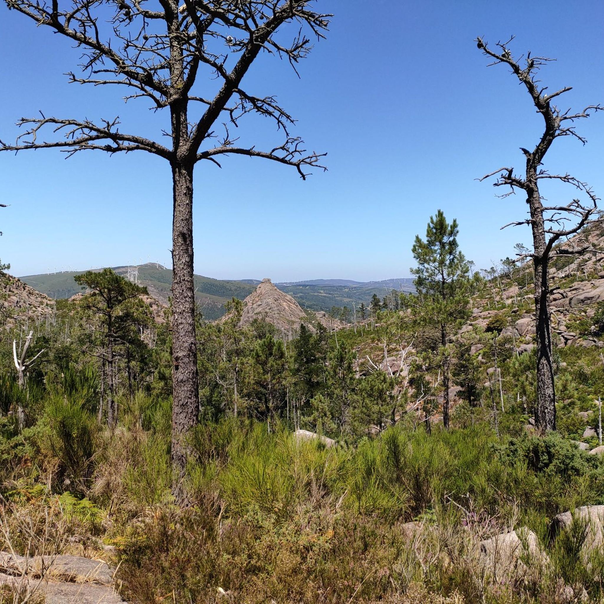
Good area for hiking or cycling. In summer there are quite a few cars on the main road.
0
0

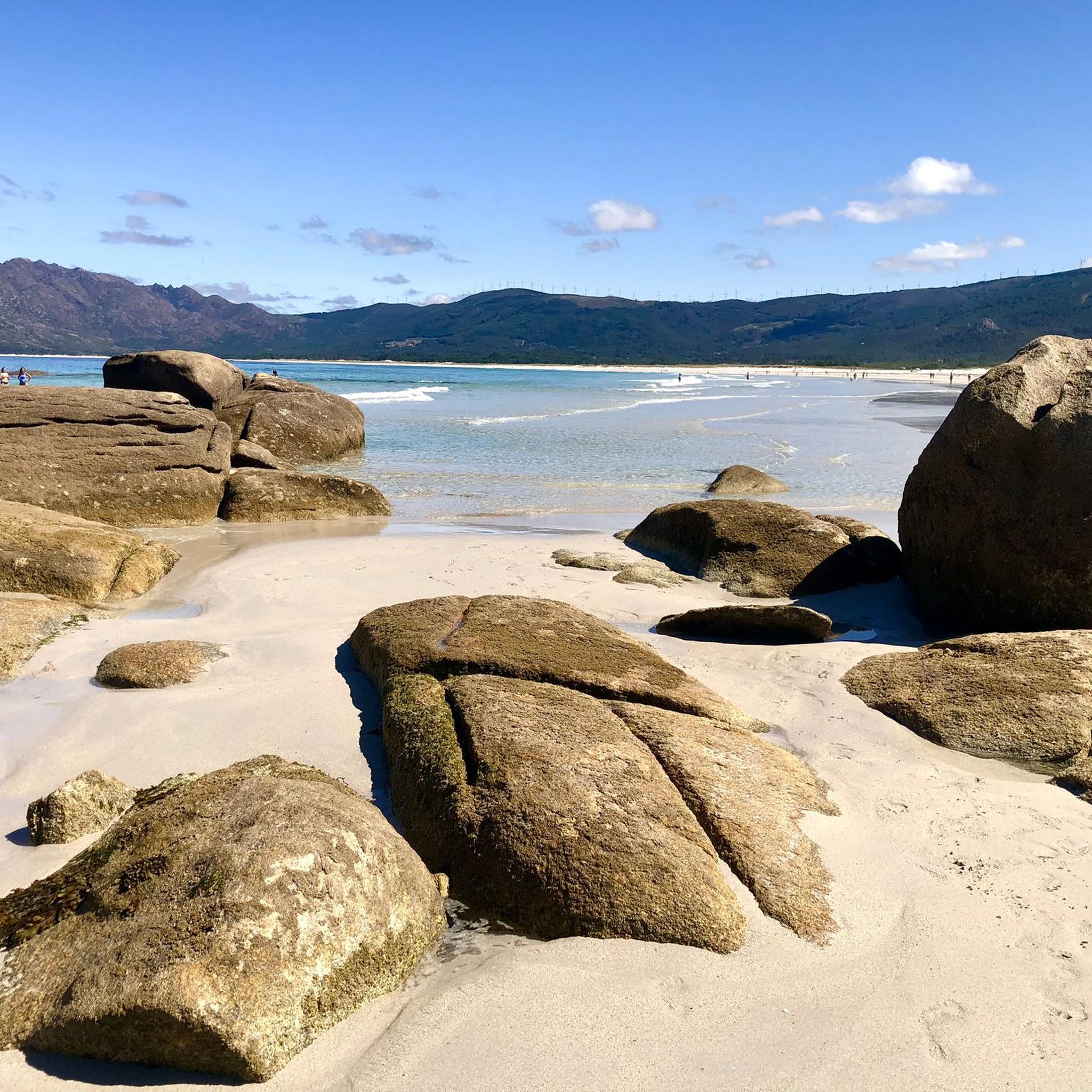
Carnota beach is considered the longest in Galicia, with more than 7 km.
0
0

Promenade from the mouth of the Ezaro River to the sea, through the Ezaro Bridge towards Pindo. Spectacular views over the white sand beach and the ria
1
1

A little higher, on the AC 445, you have two official panorama points.
6
0
You can't see anything at the height of the highlinght because of the vegetation or a wall...
2
0
Corcubión is located on a small peninsula which, with a rectangular shape and surrounded by the municipality of Cee, invades the Atlantic Ocean between the Bay of Estorde and its estuary. In this small area, the highest reliefs are about 150 and 200 meters high, located in the center of the peninsula, from where they descend to the sea. On the hill opposite noon, sheltered from the wind and storms, stretches the town of Corcubión. The coast is basically rocky, with the exception of the part corresponding to the estuary which begins on this side at the Cape of Cee and where, after a sector of high coast where the castle of the Cardinal is located, is the beach of Quenxe and then the port of the city. https://es.wikipedia.org/wiki/Corcubi%C3%B3n
5
0
Small port exclusively dedicated to the mooring of the artisanal fishing fleet. It is located at the foot of Mount Pindo. https://www.paxinasgalegas.es/porto-de-o-pindo-244870em.html
4
0
カルノタでのの人気観光スポット

komootモバイルアプリでインスピレーションを得よう


さらに探索
他の地域の最高のサイクリングルートを見てみましょう。
