サルサデグラナディージャのおすすめランニングルート
8
ランナー
6
ランニング
サルサデグラナディージャでランニングを楽しめば、このエリアをより深く知ることができます。ランニングに適した美しいルートが見つかるように、komootがサルサデグラナディージャでのルートのコレクション全体を評価して選び抜いた、人気ランニングトレイルをご紹介します。ルートをクリックして詳細を表示し、他のユーザーがアップロードした役立つ情報や写真を閲覧しましょう。
最終更新日: 8月 21, 2026
1
ランナー
12.6km
01:46
570m
580m
難しいジョギング. 標準以上のフィットネスレベルが必要です。 全般的に進みやすいルートです。一部で、安定して歩行できる技術が必要です。
13.2km
01:32
220m
220m
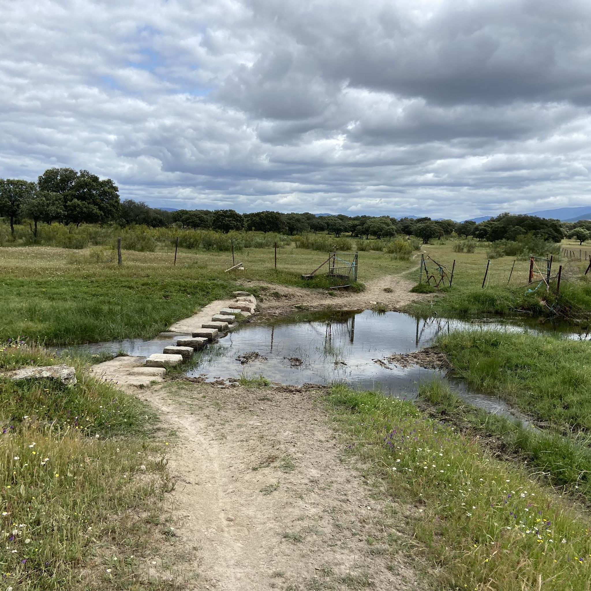
Jog the 8.2-mile (13.2 km) Pantano de las Tapias route along the Los Angeles River, a moderate trail with 729 feet (222 meters) of elevation

無料新規登録
5.26km
00:40
140m
140m
中程度のジョギング. ある程度のフィットネスレベルが必要です。 全般的に舗装された状態です。あらゆるスキルレベルに適しています。
25.6km
03:27
760m
770m
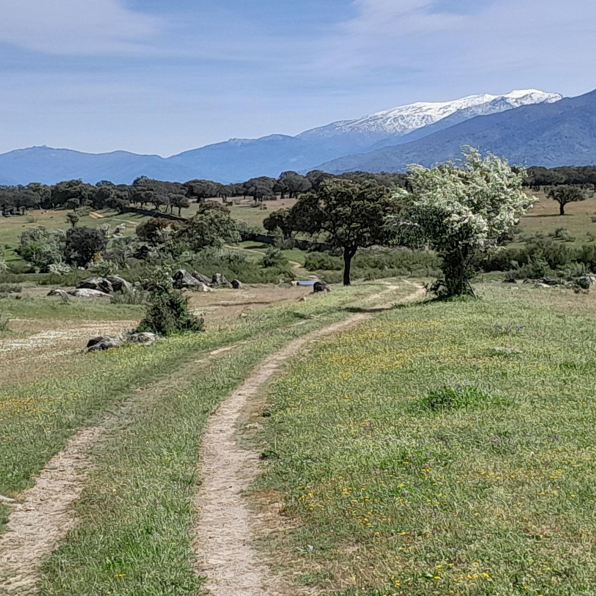
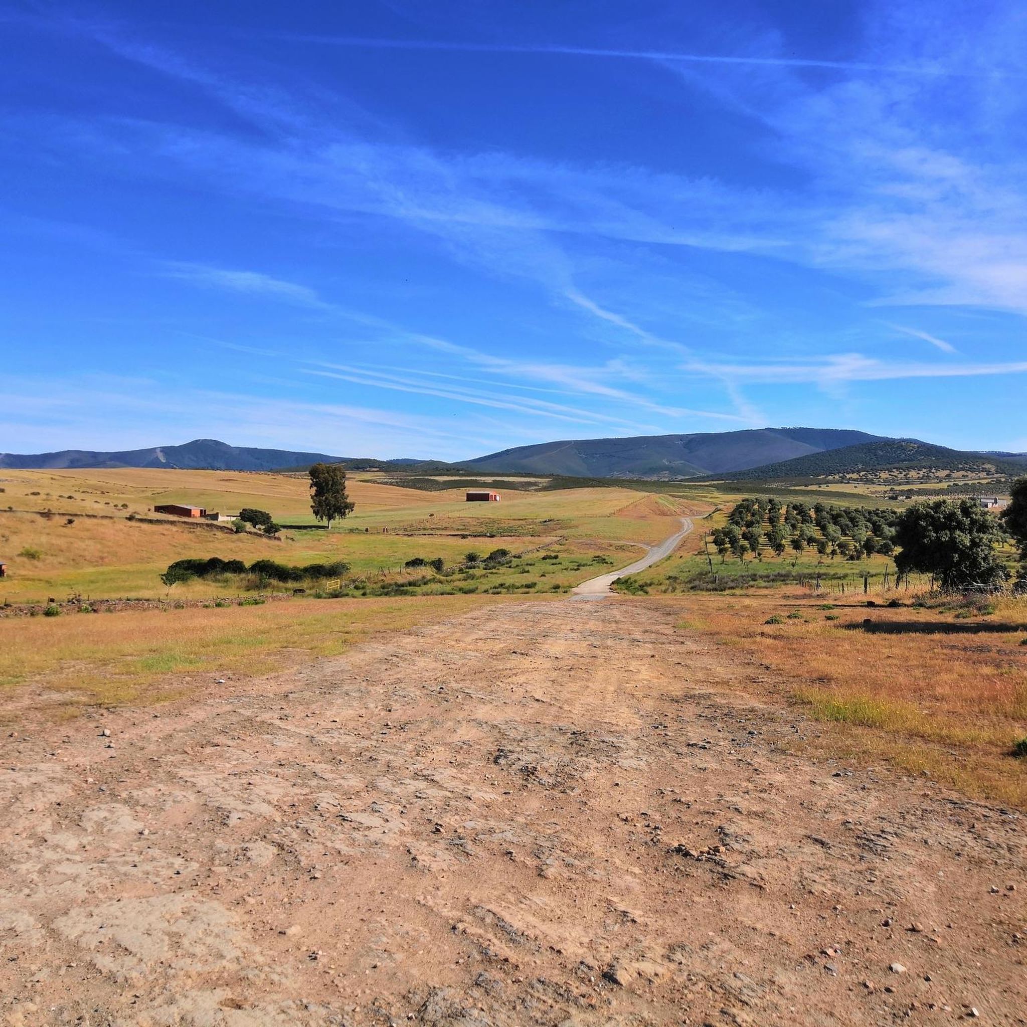
A difficult 15.9-mile jogging route from Villar de Plasencia, offering panoramic views and ancient oaks in the Sierra del Gordo.
7
ランナー
7.22km
00:57
220m
220m
中程度のジョギング. ある程度のフィットネスレベルが必要です。 全般的に舗装された状態です。あらゆるスキルレベルに適しています。
おすすめのツアーは他のkomootユーザーが実際に経験した何千ものアクティビティに基づいています。
無料アカウントで今日から始めよう
次の冒険が待っています。
ログインまたは登録

コミュニティからのヒント

The Pantano de las Tapias is a reservoir located in Caminomorisco, in the province of Cáceres, Extremadura. This reservoir is located near the towns of El Lombo and Mesa Santa. It is an ideal place to enjoy nature and do outdoor activities such as hiking and fishing. One of the popular routes is the one that starts from La Pesga and reaches the reservoir, offering a route of approximately 10.8 km with spectacular views.
3
0
The Mirador en el Río de Los Ángeles is a lovely place to enjoy panoramic views of the natural surroundings. This viewpoint is located in the Las Hurdes region, in Extremadura, and offers a spectacular view of the river and the surrounding landscapes.
2
0
The Meandro del Melero is an impressive river formation located in the region of Las Hurdes, on the border between the provinces of Cáceres and Salamanca. This meander is created by the Alagón River, which forms a spectacular turn in its course, offering a unique panoramic view.
3
0
The Mirador Pico Blanco in La Pesga, Extremadura, is a spectacular place to enjoy panoramic views. Located at the highest point in the area, it offers stunning views to the north of Las Hurdes and to the south of the Gabriel y Galán reservoir, the lands of Granadilla and the abandoned town of Granadilla.
4
0

A small town located in the foothills of Montes tras Sierra and on the other hand it is located in the Llanos de la Jarilla.
0
0
To the north of the town of Plasencia we find this town, located in the Montes de Tras la Sierra, between the Jerte valley and the Ambroz valley, in a beautiful wooded area!
0
0
The Mirador del Castillo is located close to the Ermita de Nuestra Señora del Castillo, which is elevated above the rest of the town. From this vantage point, which is quite frequented, there are impressive views of the area.
0
0

Full of water it is spectacular, so before going I would check how the Alagón is with water.
1
0
サルサデグラナディージャでのの人気観光スポット

komootモバイルアプリでインスピレーションを得よう


さらに探索
他の地域の最高のランニングトレイル & ルートを見てみましょう。
