アルテアの絶景の山頂・トップ20
絶景を目指して登るのであれ、達成感のために登るのであれ、山頂を訪れることで、アルテアの美しい自然をもっと満喫することができます。20
もの選択肢の中から、制覇する山頂を決めるのは簡単ではありません。スムーズに次の冒険で目指す山頂を選べるように、アルテアの素晴らしい山頂をこのガイドにまとめました。
最終更新日: 8月 30, 2026
ペニョン・デ・イファチの頂上
ハイライト • 山頂
翻訳者 Google •
役立つ情報 は

アルト・デル・ゴベルナドール
ハイライト • 山頂
翻訳者 Google •
役立つ情報 は

今すぐサインアップして、こんな場所を発見しよう
最高のシングルトラック、ピーク、その他のエキサイティングなアウトドアスポットのおすすめを受け取ろう。
無料新規登録
プイグ・カンパナ山頂
ハイライト • 山頂
翻訳者 Google •
役立つ情報 は
ペニャル・デ・イファックの断崖
ハイライト (セグメント) • 山頂
翻訳者 Google •
役立つ情報 は
M. d'Oltaの山頂(標高587 m)
ハイライト • 山頂
翻訳者 Google •
役立つ情報 は

無料でサインアップして、さらに多くの山を発見しましょう アルテアでの。
無料新規登録
すでにアカウントをお持ちですか?
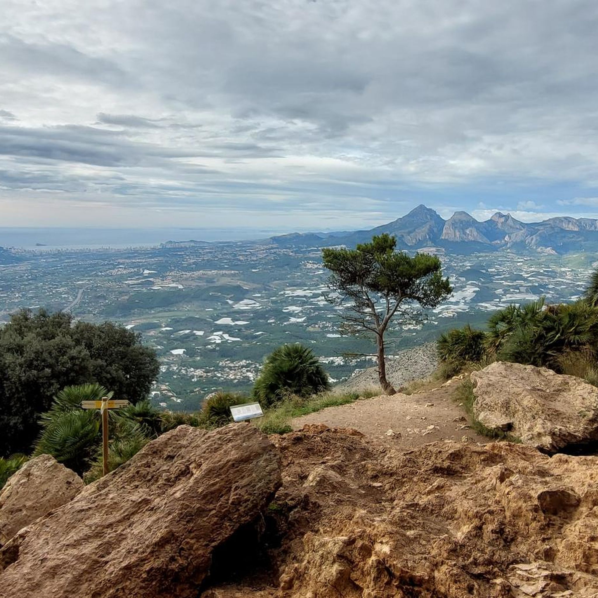
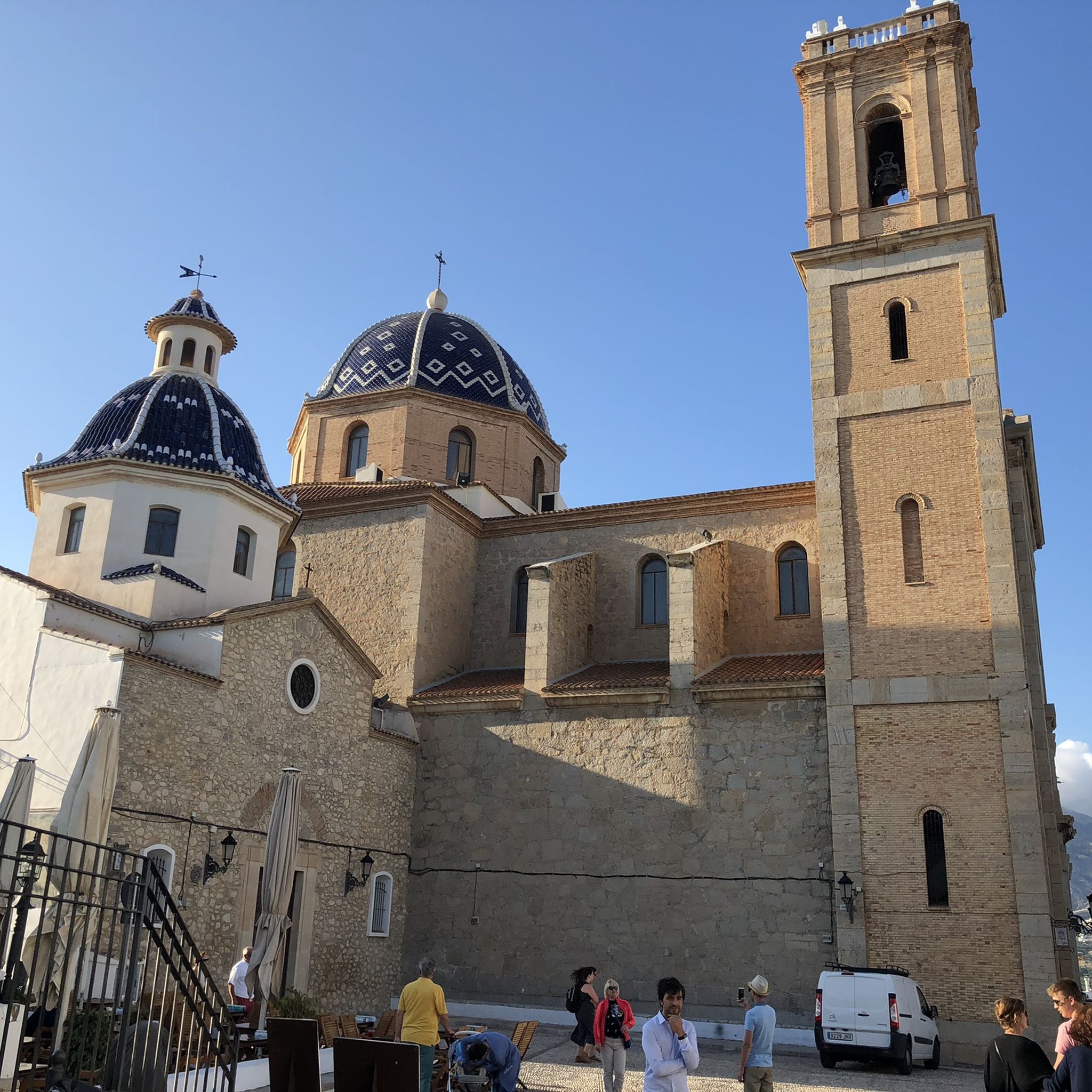
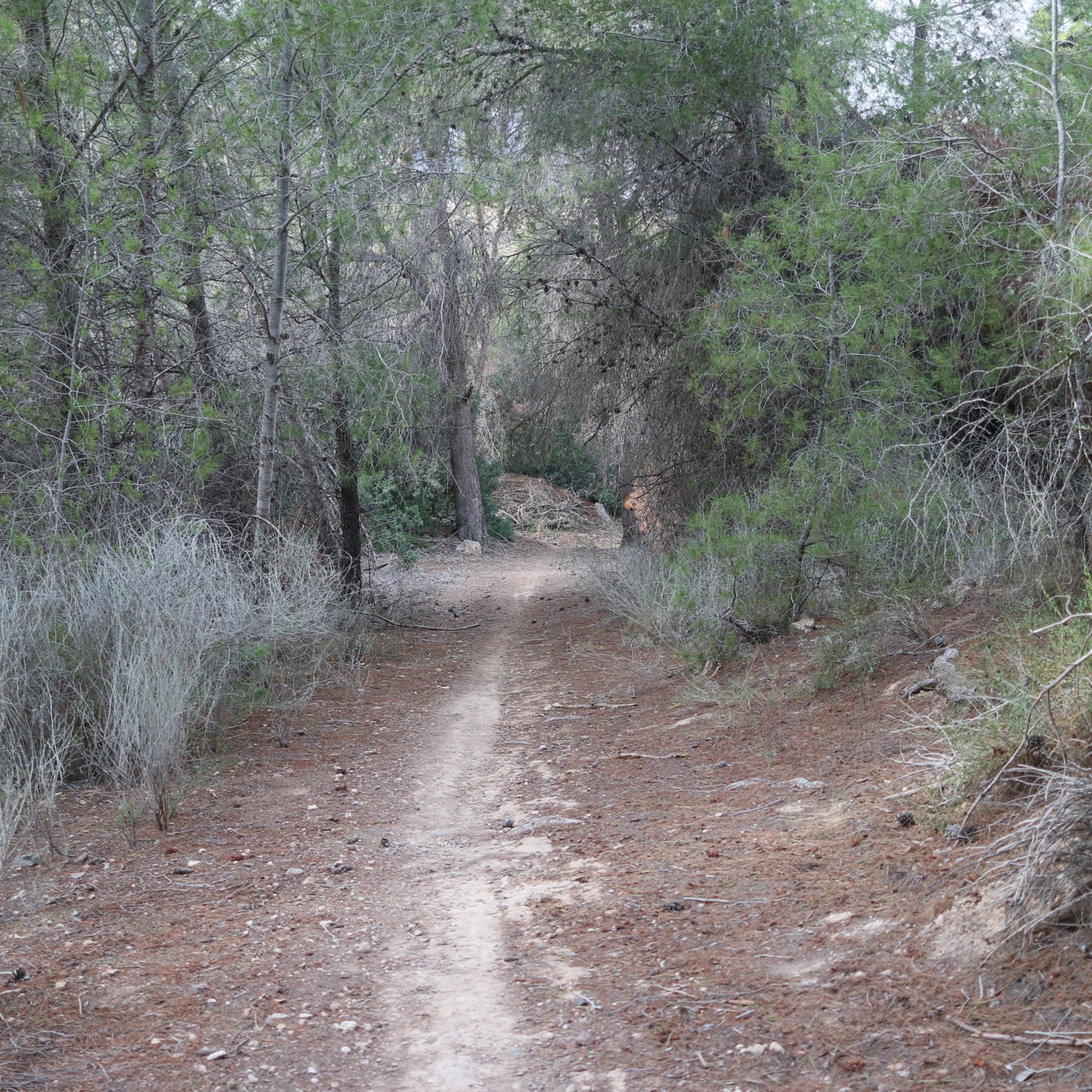
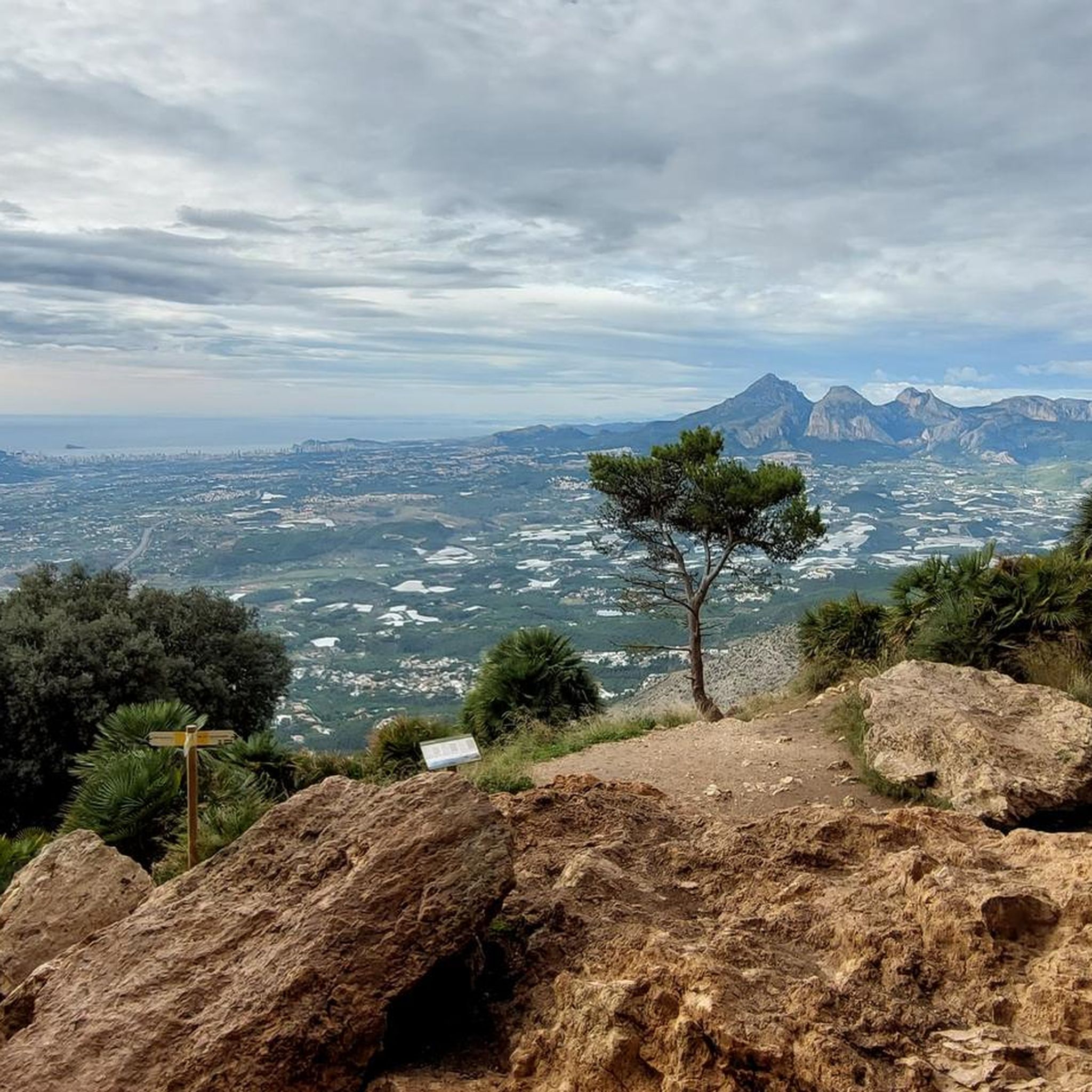




コミュニティからのヒント

It's worth climbing after 5:30/6 p.m., as the rock casts shadows the entire way up. It takes between 50 minutes and 1.5 hours, depending on photo breaks ;) I recommend taking the path to the photo spot at the end and then climbing to the summit. The view is already sensational, but even more incredible at sunset. You should start your descent promptly after sunset (around 8 p.m. in summer) to make it back down in time without a headlamp (it takes just under an hour).
0
0


Climbing to the top of the Peñón de Ifach is one of the most stunning hikes on the Costa Blanca. It's a somewhat difficult route, due to the steepness and rugged terrain. Once at the summit, however, the effort is worth it, as you'll enjoy spectacular views.
11
0
The summit of Peñón de Ifach is 332 meters above sea level. To reach the top, follow the Red Route of the Peñón de Ifach Natural Park. This route begins at the visitor center and passes through a tunnel before reaching the summit. The hike is challenging, especially after the tunnel, where the terrain becomes steeper and more slippery. Hands are required for support in some places, as is appropriate footwear. The views from the summit are spectacular, offering panoramic views of the Mediterranean Sea and the Calpe coast.
11
0

A challenging climb, somewhat slippery in places, but well-marked with red markers along the trail. Some difficult sections are secured with chains and ropes. A flashlight or your cell phone camera is advisable when passing through a roughly 60-meter-long tunnel.
1
0
The altitude of Alto del Gobernador is about 435 metres. We will reach the summit after walking 2,100 metres from the start of the Sierra Helada Natural Park.
11
0


Alpine experience is REALLY necessary. Very rough/rocky paths, lots of climbing on the slope. The descent is particularly difficult and most hikers there had their shoe soles come apart (or fall off completely). So all the requirements stated on the sign should be observed!
1
1

komootモバイルアプリでインスピレーションを得よう


さらに探索
これらのガイドでさらに素晴らしい頂上を見てみましょうアルテアでの:
