リブリージャ周辺のアトラクション&必見スポット - トップ20
リブリージャには必見のスポットがたくさんあります。ハイキング愛好家やサイクリング愛好家の方は、ぜひリブリージャを探索してこのエリアにある20
の隠れたスポットを訪れてみてください。このエリアの必見スポットを確認し、次の冒険に出かける計画を立てましょう。
最終更新日: 10月 23, 2026
ランブラ・デ・アルヘシラス貯水池
ハイライト • 湖
翻訳者 Google •
役立つ情報 は

アルカンタリーヤのノリア
ハイライト • 記念碑
翻訳者 Google •
役立つ情報 は
今すぐサインアップして、こんな場所を発見しよう
最高のシングルトラック、ピーク、その他のエキサイティングなアウトドアスポットのおすすめを受け取ろう。
ピコ・デル・アギラ
ハイライト • 山頂
翻訳者 Google •
役立つ情報 は

アルヘシラス貯水池の展望所
ハイライト • 展望台
翻訳者 Google •
役立つ情報 は

無料アカウントで今日から始めよう
次の冒険が待っています。


コミュニティからのヒント


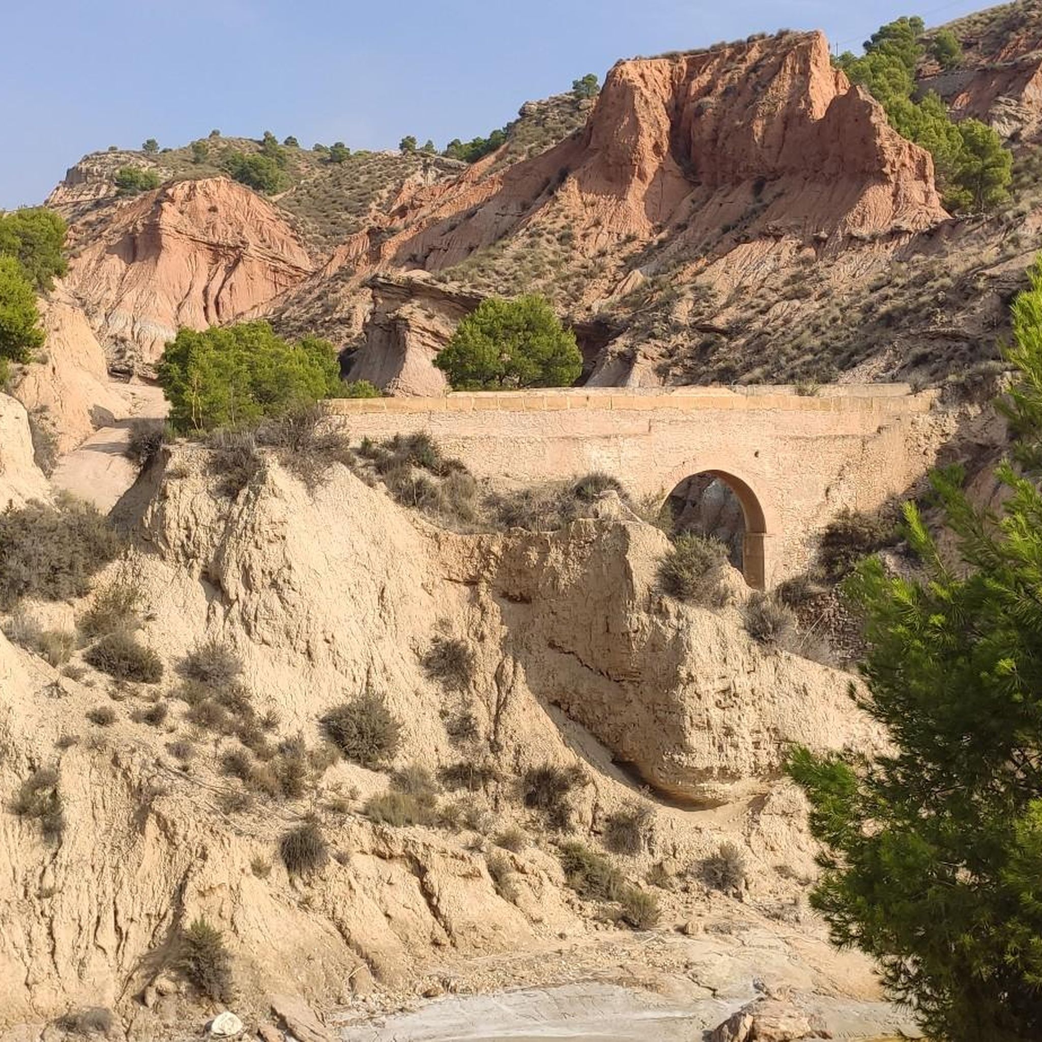
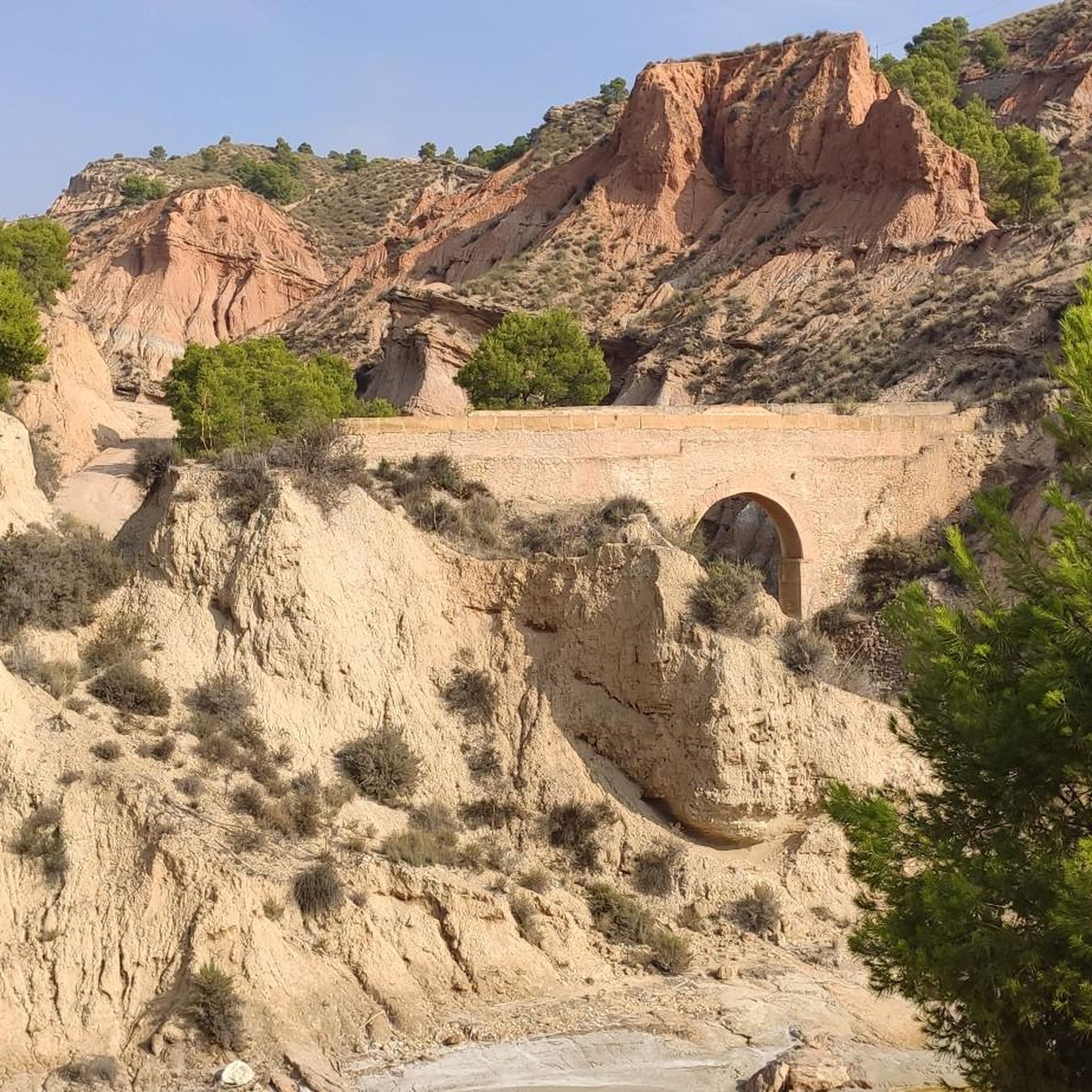
So beautiful: The Rambla de Algeciras reservoir is a crucial water reservoir in the Region of Murcia, Spain. It was built for flood control (of the Segura River), water storage, and irrigation regulation. The area offers many hiking and cycling opportunities and offers views of the nearby Barrancos de Gebas.
5
1

along the canal, paved path. Several hikes are possible around the area.
1
1

The first waterwheel in this place dates back to the 15th century and was made of wood. The current waterwheel, made of metal, was installed in 1956 and is 11 metres in diameter. The waterwheel is used to raise water from the Acequia Mayor Alquibla to the Acequia del Turbedal, allowing the irrigation of the lands in the upper area of Alcantarilla. The museum, opened in 1967, shows the ethnology of the Huerta de Murcia and is focused on various axes such as agriculture, anthropology and water culture.
5
0
The Mirador del Embalse de la Rambla de Algeciras is an observation point that offers stunning panoramic views of the reservoir and its surroundings. From this viewing point, visitors can enjoy the natural beauty of the region, including the waters of the reservoir and the mountainous landscape that surrounds it. It is an ideal place for nature and photography lovers, as it provides an excellent opportunity to capture the serenity and majesty of the surroundings. In addition, it is a good starting point for hiking and exploring the area.
7
0
The Rambla de Algeciras Reservoir is located in the municipality of Alhama de Murcia, in the region of Murcia. It was built as part of the General Flood Defense Plan for the Segura River Basin. The reservoir has several purposes, including flood control, water storage, and regulating the flow of water for irrigation.
5
0

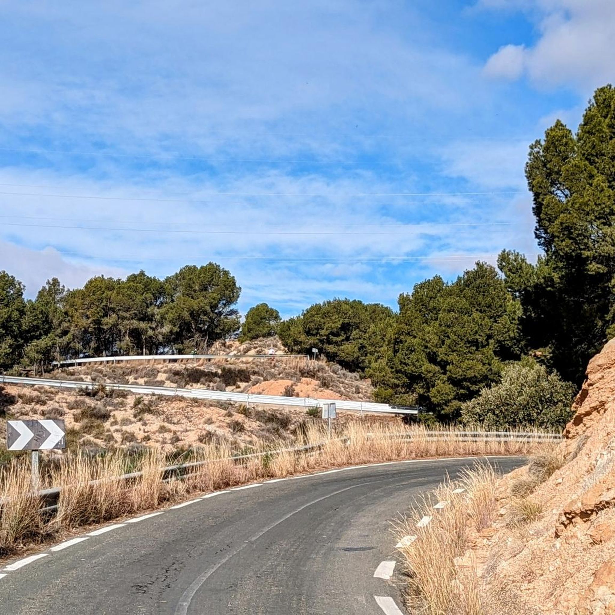
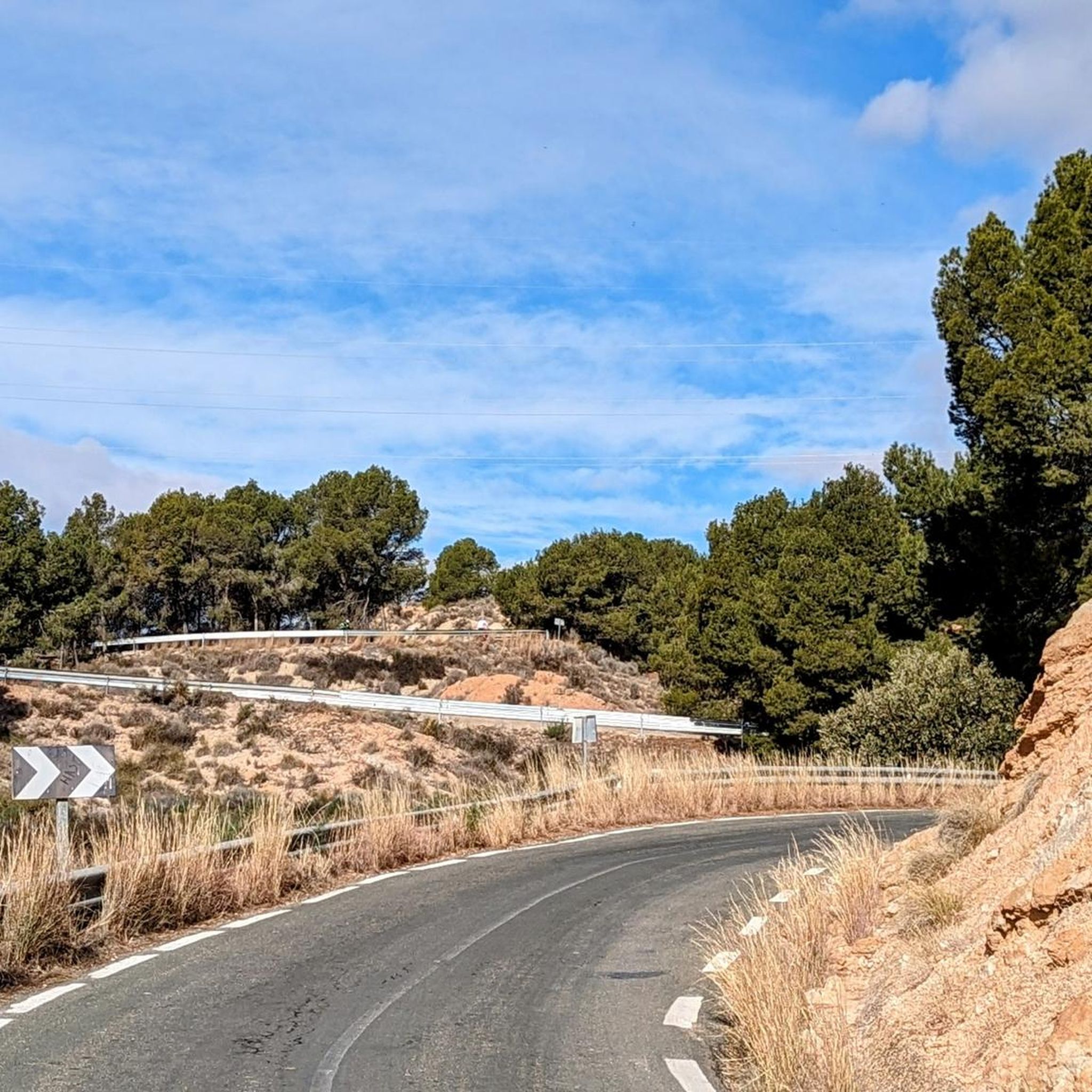
Mostly good asphalt, one of the better routes to cross the Sierra Espuna. Here in the east you drive a lot through the forest and don't see that much of the landscape on the western side. In the east I shortened this section a bit because there are two good alternatives. 1. To/from RM-515 (direction Alhama de Murcia) to go around the Sierra Espuña or else 2. Head southwest on the service path along the canal towards Totana. The path is flat and you can drive very quickly on the straights. The fun is somewhat hindered by 15 speed bumps and 3 gates. Towards the north, the service path soon becomes a poor forest path as the canal "disappears" underground there.
2
0

An irrigation system that distributes water to the orchard on the right bank of the Segura River. Its construction dates back almost a thousand years. Next to it you can visit the Huerta Museum and the Aqueduct Park. If you visit at night it also has lighting.
1
1
リブリージャでのの人気観光スポット

komootモバイルアプリでインスピレーションを得よう


さらに探索
まだ探しているハイライトが見つかりませんか?他の地域のトップアトラクションのガイドを見てみましょう:
