バルデオレアのおすすめライド
4.3
(49)
1,992
ライダー
111
ライド
バルデオレア周辺のロードバイクルートをお探しですか?ここでは、komootが提供するバルデオレアでのロードバイクライドのコレクション全体を評価して選び抜いた人気ルートをご紹介します。各ライドの詳細をぜひご覧ください。
最終更新日: 9月 18, 2026
4.7
(18)
169
ライダー
58.4km
02:35
500m
500m
中程度のロードライド. ある程度のフィットネスレベルが必要です。 ツアーの一部に、未舗装のため走行が難しい箇所があるかもしれません。
31
ライダー
31.2km
01:26
150m
150m
初級者向けロードバイクライド. あらゆるフィットネスレベルに適しています。 全般的に舗装状態が良好で走行しやすい道です。

3.0
(2)
29
ライダー
60.4km
02:48
730m
730m
中程度のロードライド. ある程度のフィットネスレベルが必要です。 全般的に舗装状態が良好で走行しやすい道です。
24
ライダー
110km
04:59
1,220m
1,220m
難しいロードライド. 標準以上のフィットネスレベルが必要です。 全般的に舗装状態が良好で走行しやすい道です。
17
ライダー
105km
04:20
690m
690m
中程度のロードライド. ある程度のフィットネスレベルが必要です。 全般的に舗装状態が良好で走行しやすい道です。
さらに多くのルートや他のユーザーのおすすめ情報を確認できます。
すでにアカウントをお持ちですか?
おすすめのツアーは他のkomootユーザーが実際に経験した何千ものアクティビティに基づいています。
無料アカウントで今日から始めよう
次の冒険が待っています。

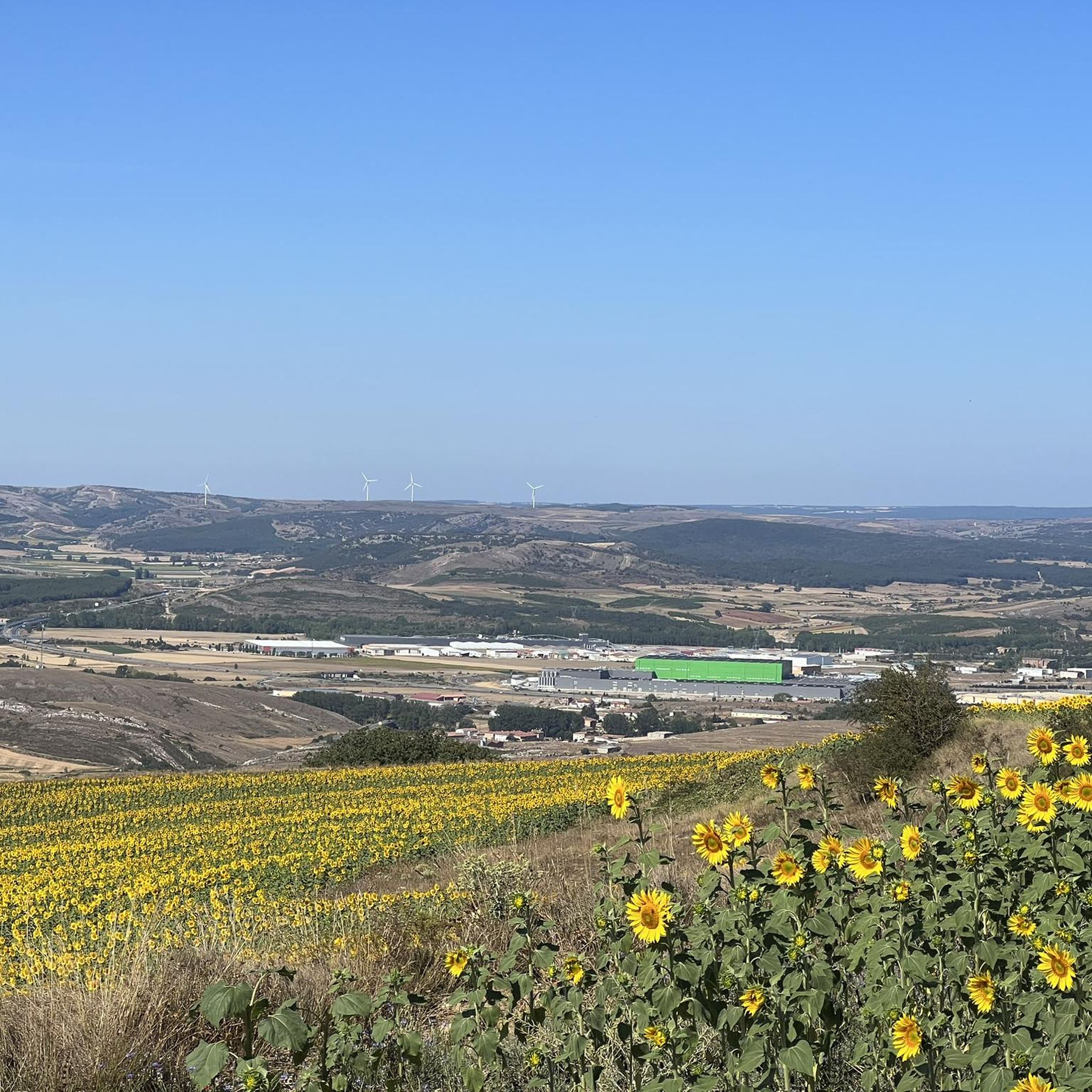
バルデオレアでのの他の冒険

コミュニティからのヒント

パレンシア山脈の玄関口にある、あらゆるサービスが揃った町。文化と自然の両面で、見どころや楽しみがたくさんあります
0
0

レイノーサのスペイン広場は、他の多くの広場と同様に、集まりや祭りの会場となっています。 ぜひ訪れて、時間があれば地元のタパスを味わいながらテラスでリラックスしてみてください。
0
0

ポテスからの30kmの上り。均一な勾配の、素晴らしい整備された道。素晴らしいヒルクライムと素晴らしいダウンヒル。
0
0


Spectacular views of the eastern massif of Picos de Europa
0
0

Stage 1. Alar del Rey/Cervera de Pisuerga 87 kilometers. 1,850 positive meters. The Canal de Castilla begins in Alar del Rey, an illustrious work of 18th century hydraulic engineering that was an important vein of communication, commerce and prosperity in much of the Castilian lands for a century. In 1860 the railway monopolized the trade in cereals, goods and minerals in the north of Castile and transport barges stopped using the canal, which continued in use until the mid-20th century, exploiting the hydraulic energy of the locks and irrigation systems. . The starting point is the dock of the old piers of the Canal de Castilla, a very pleasant place to start a gravel trip of a couple of days of bikepacking along the Palentino Romanesque Natural Path, which largely coincides with the Ruta del Coke charcoal. “Cok” or coke is a high-quality hard coal with good heat capacity that is highly appreciated in the metallurgical industry. The best coke deposits were in exclusive mines in Fuentes Carrionas and Montaña Palentina, mainly in the valleys of Mudá, Castillería and Santullán. The extracted mineral was transported by horse and cart to the piers of the Canal de Castilla bound for Valladolid and Palencia, where distribution began. The cycle tour follows the old mining road to the mountains of northern Palencia, visiting a few rural Romanesque jewels. Before leaving we passed by the milestone where the Canal de Castilla takes its water from the Pisuerga River. I discovered this beautiful river spot thirty years ago, when I cycled along the canal towpaths for the first time. Now we leave in the opposite direction following the red posts of the Nature Trail. The roads are good for gravel cycling, the relief is a bit leg-breaking and there are several hard slopes that warm up the muscles with the gravel single chainring but the surface is great. The first town is Prádanos de Ojeda, on a rural hill above extensive cereal fields that are very good for warming up the legs before the first slopes, it is the end of summer and the stubble is full of large balls of packed straw. The path crosses the Pradera de las Tortas mountain and Santibáñez de Ecla appears hidden among some hills of holm oaks and holm oaks. The church of San Juan can be seen now or in the second stage because the return track connects here. The path runs through hills populated by dense holm oak forests and passes through Villaescusa de Ecla, which has the Romanesque church of Santa Elena and in a nearby ravine the Cervigona Waterfall. The silhouette of the Palentina Mountain and the Curavacas peak draw attention on the horizon. The path jumps small hills of holm oaks and holm oaks and at the heights the view takes in the mountains of the Cantabrian Mountains of Palencia. The surface is excellent and the bikes descend at full speed to the town of Cozuelos de Ojeda. The church is monumental, Renaissance with star-crossed vaults and a Herrerian tower. Outside the church there are remains of an ancient cloud conjurer, a popular place of prayer during harvest time to keep storms and clouds or clouds away from the sky. The route leaves the urban complex of Cozuelos de Ojeda on the left and continues through some steppe hills to a plateau with good views of the mountains, from Valdecebollas to Espigüete. In the moor is the crossing of the Perazancas de Ojeda variant on the return route. The next town is Vallespinoso de Aguilar. The hermitage of Santa Cecilia, immediately standing out on a castle hill, is dated to the 12th century and was declared a historical-artistic monument in 1951. The portico has well-carved capitals and the location conveys the atmosphere of a fortress sanctuary. The path goes up a somewhat rocky slope and enters new slides in the land of Aguilar de Campoo. At the foot of Monte de la Ruya, when the hardest slope of the stage appears in front of you, the detour to Barrio de San Pedro and Barrio de Santa María, two districts of Aguilar de Campoo, comes out on the right. The descent is fantastic with views of the large lake of the Aguilar reservoir. First is Barrio de San Pedro, with a very welcoming ambushed entrance and the church of San Pedro, Romanesque from the 13th century with many later additions. And then the hermitage of Santa Eulalia, solitary next to the road, another well-preserved historical-artistic monument of the rural Romanesque of Palencia. In the town, the church of the Assumption also preserves parts of Romanesque origin.
0
0
バルデオレアでのの人気観光スポット

komootモバイルアプリでインスピレーションを得よう


さらに探索
他の地域の最高のロードサイクリングルートを見てみましょう。
