ポマールデバルディビアのおすすめツーリングルート
4.4
(16)
191
ライダー
42
ライド
ポマールデバルディビア周辺でのおすすめのサイクリングルートを参考にして、このエリアを最大限に楽しみましょう。ここでご紹介するのは、ポマールデバルディビア周辺の人気バイクライドです。ぜひ、自分に合ったルートを見つけてください。
最終更新日: 10月 18, 2026
22.1km
01:42
260m
260m
難しい自転車ライド. ある程度のフィットネスレベルが必要です。 ツアーの一部で自転車を押して歩く必要があるかもしれません。
24
ライダー
57.7km
05:14
780m
780m
難しい自転車ライド. 標準以上のフィットネスレベルが必要です。 ツアーの一部で自転車を押して歩く必要があるかもしれません。

9
ライダー
61.6km
03:51
650m
650m
難しい自転車ライド. 標準以上のフィットネスレベルが必要です。 全般的に舗装された状態です。あらゆるスキルレベルに適しています。
3.0
(2)
7
ライダー
50.8km
04:00
740m
740m
難しい自転車ライド. 標準以上のフィットネスレベルが必要です。 全般的に舗装された状態です。あらゆるスキルレベルに適しています。
8
ライダー
7.59km
00:30
110m
110m
初級者向けバイクライド. あらゆるフィットネスレベルに適しています。 全般的に舗装された状態です。あらゆるスキルレベルに適しています。
さらに多くのルートや他のユーザーのおすすめ情報を確認できます。
すでにアカウントをお持ちですか?
おすすめのツアーは他のkomootユーザーが実際に経験した何千ものアクティビティに基づいています。
無料アカウントで今日から始めよう
次の冒険が待っています。


コミュニティからのヒント

Rubagón川の水域を渡る小さな橋です。片側には情報パネルのある広場があります。 ルート上の短い休憩に最適な場所です。
0
0

In the Plaza de España, the nerve centre of the town.
1
0
The amount of water this river carries is always surprising.
1
0

The visit to the neighborhoods of San Pedro and Santa María is worth it for the heritage and landscapes but it has a price on the legs, you have to climb Monte de la Ruya again to connect with the main itinerary and overcome the infernal slope that We saw before the detour, which also has a trap because after a short descent there is another similar section to a hill, the prize is fantastic views of the Palentina Mountain. The road enters the meadows and mountains of La Ojeda again and there is a fun stretch, climbing the GPS average for several kilometers until Dehesa de Montejo, where the detour for the Perazancas variant comes out on the left. The route continues to the right, crosses the Cervera de Pisuerga road and climbs the slope of Peña Umoma to a hill that finally marks the entrance to the Pisuerga valley through the beautiful valley of Valdeados. The descent ends in Vado, it is noon, time for a snack but there is no bar or grocery store. Cervera is three kilometers away but it is the place where we plan to finish the stage and we decided to continue and spend the afternoon with the energy bars. The path continues along the charming bank of the Pisuerga River, favorable terrain, river landscape, good climate and change of environment. On the route there are yellow arrows of the Camino Olvidado or Camino de la Montaña, a Camino de Santiago very popular in the 12th and 13th centuries, starting from Bilbao, running along the southern slope of the Cantabrian Mountains and connecting with the Camino Francés in El Bierzo. In Barcenilla de Pisuerga, the milestones of the Natural Trail cross the Pisuerga River via a pedestrian walkway and change course, beginning the climb through the Mudá valley until the connection with the GR-1. The climb begins in Rueda de Pisuerga, the route passes by the church of San Cristóbal, which preserves the Romanesque doorway from the 12th century, and continues through Vallespinoso de Cervera to San Cebrián de Mudá, a town with a mining tradition and the last town on the Natural Trail of the Palentine Romanesque. In the square there are some wagons from the mining era, when the Cok Coal Route was the main economic channel of the valley. The church of San Cornelio and San Cipriano is on a hill, is Romanesque from the 13th century and was declared a Site of Cultural Interest in 1993. The climb to the Historical Trail passes through the European Bison Interpretation Center, runs through a mountain oak grove and ends at a small hill below the imposing Valdecebollas (2,143 m), entrance to the La Pernía valley and the upper Pisuerga. The views are stunning. The end of the stage is Cervera de Pisuerga, with accommodation, camping and complete services. The final stretch to complete a great day of gravel cycling continues through the Castillería valley and at the Estalaya crossroads, where the climb to the Verdeña Fossil Forest is, a path leaves on the left that leads to Vañes off the road. In this section it is important to have the track downloaded because there are no milestones on the route. You must continue along the road for about 500 meters towards Cervera and at the fork of the road take a detour to the left towards Rabanal de los Caballeros and Valdasornín. The rest of the way follows the road that goes down to the urban complex of Cervera de Pisuerga.
0
0

Puente Mayor over the Pisuerga River is of medieval origin. We can see the small islands in the river and the castle hill.
2
0

Temple built at the end of the 12th century and beginning of the 13th, it is located on a beautiful hillock, on the outskirts of Barrio de Santa María, near the Aguilar de Campoo reservoir.
2
0
The Aguilar reservoir, inaugurated in 1964, plays a crucial role in regulating the Pisuerga River. With a height of 48 meters and a length of half a kilometer, the dam is one of the largest in the area. It is part of a set of three reservoirs and is considered a tourist attraction thanks to the "Ruta de los Pantanos".
1
0
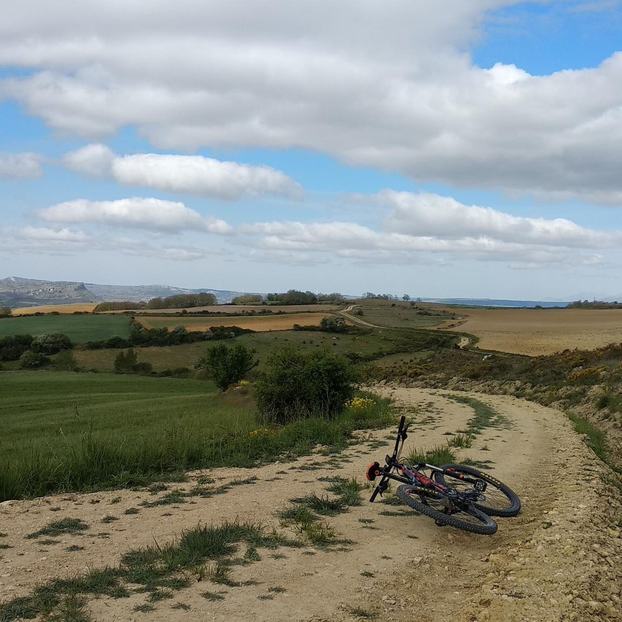
Section of gravel track with small ups and downs and a nice view with the mountains in the distance.
1
0
ポマールデバルディビアでのの人気観光スポット

komootモバイルアプリでインスピレーションを得よう


さらに探索
他の地域の最高のサイクリングルートを見てみましょう。
