アラハルのおすすめツーリングルート
4.6
(8)
265
ライダー
57
ライド
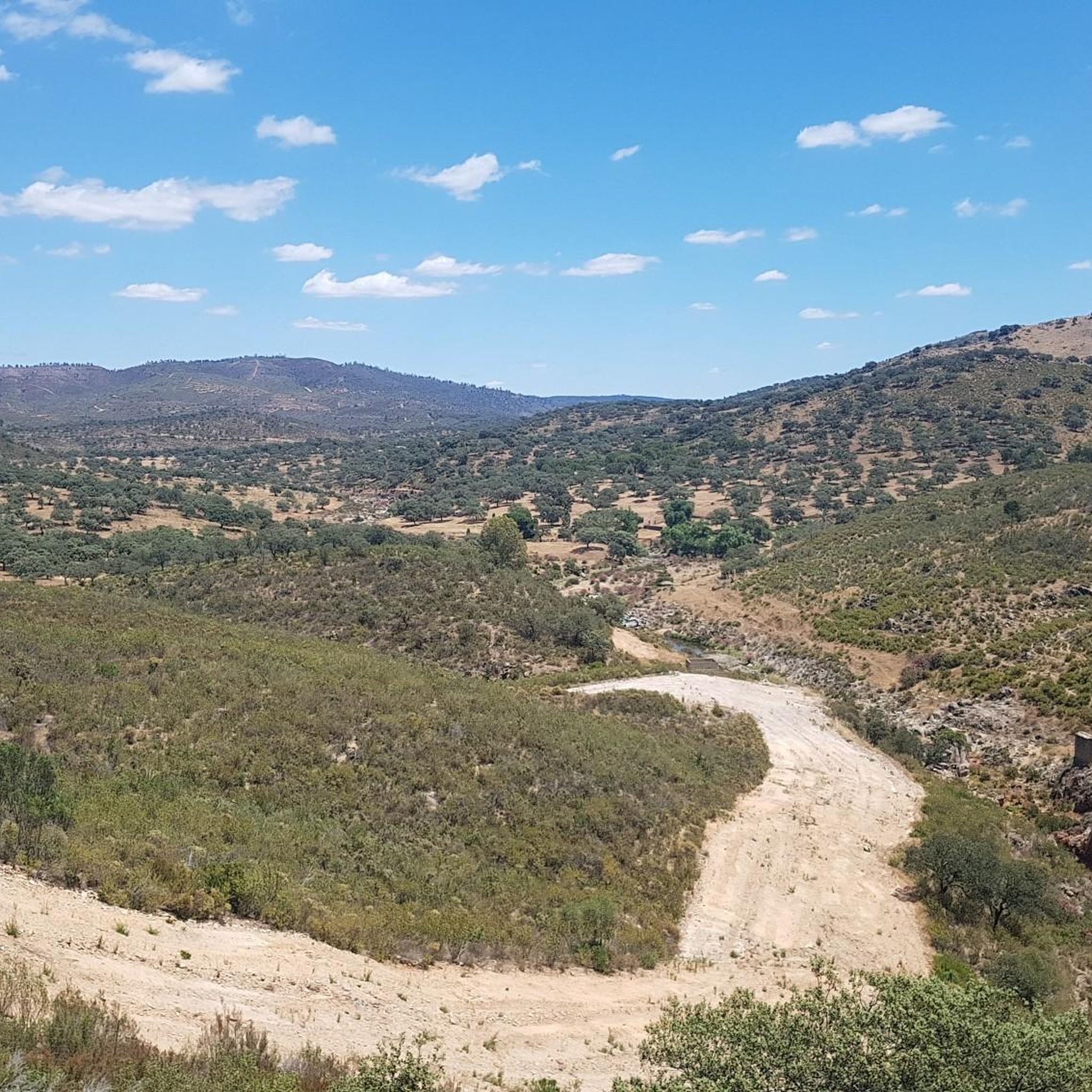
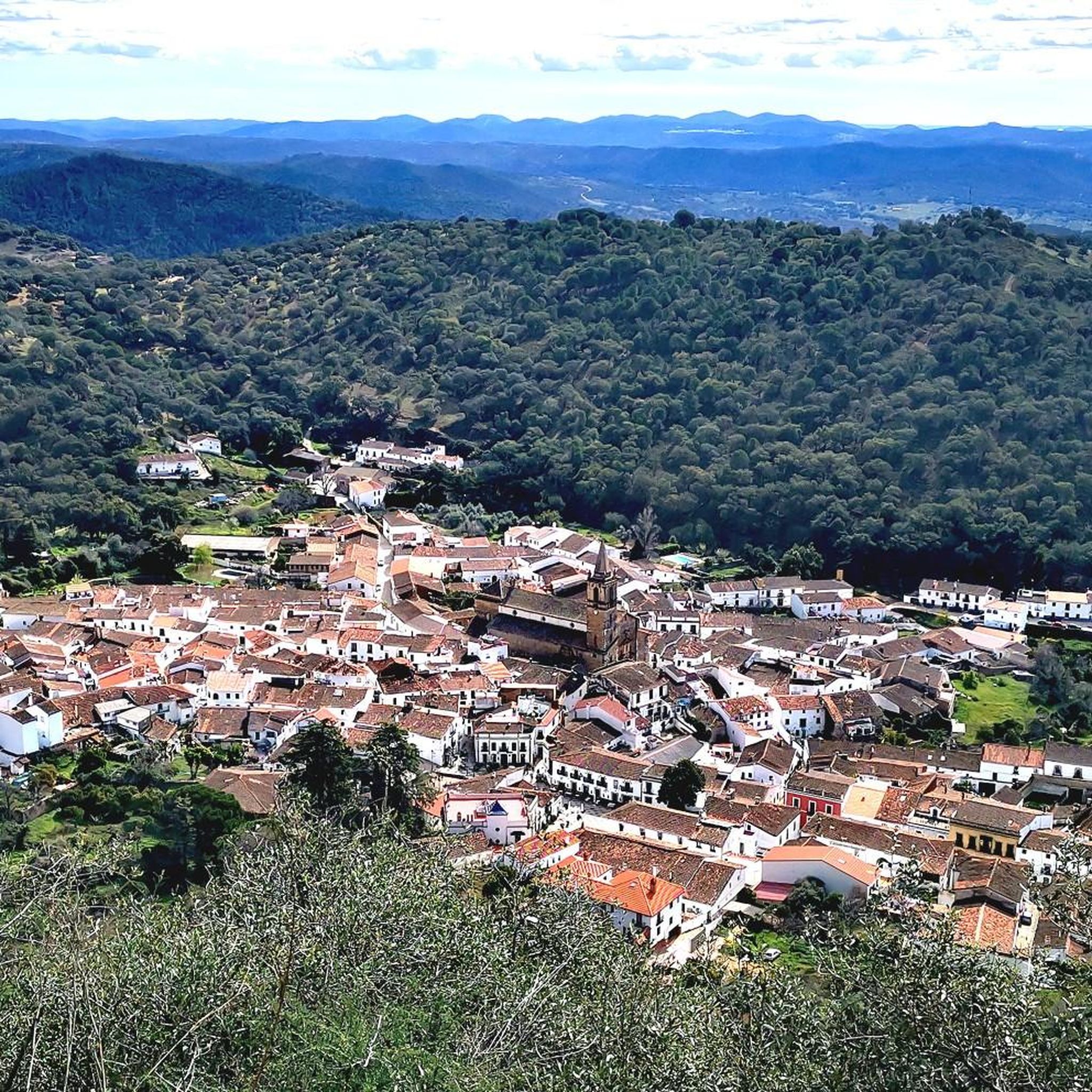
アラハール周辺のサイクリングルートは、シエラ・デ・アラセナ・イ・ピコス・デ・アロチェ自然公園内の、なだらかな丘陵地帯と、ヨーロッパナラ、コルクガシ、クリの密生した森林地帯を特徴とする景観を巡ります。サイクリストは、絵のように美しい村々を結ぶ古代のトレイルから、森林のトラック、交通量の少ない舗装路まで、多様な地形に遭遇します。この地域には多くの川や小川があり、しばしば豊かな木々に縁取られており、風光明媚なルートを提供しています。標高は962メートルに達し、サイクリングに荒々しくも美しい環境を提供しています。
アラハール周辺の最高のサイクリングルート
- 最も人気のあるサイクリングルートは、アラセナ、フエンテエルイードス、アラハールループで、16.4マイル(26.3 km)のトレイルで、完了までに1時間53分かかり、いくつかの魅力的な村を結んでいます。
- 地元のサイクリストに人気のもう一つのルートは、ラ・ペーニャ・デ・アリアス・モンターノ – フエンテエルイードスからのリナレス・デ・ラ・シエラ・ループで、29.2マイル(47.0 km)の難易度の高いパスで、ラ・ペーニャ・デ・アリアス・モンターノからのパノラマビューを楽しめます。
- 地元のサイクリストは、サンタ・アナ・ラ・レアルからのリナレス・デ・ラ・シエラ広場 – アラセナ歴史地区ループも気に入っています。これは25.1マイル(40.4 km)のトレイルで、この地域の特徴的な森林と丘陵地帯を通り抜け、通常は約2時間52分で完了します。
- アラハール周辺のサイクリングは、なだらかな丘陵地帯、コルクガシとヨーロッパナラの密生した森林、そして歴史的な村々を結ぶ古代のトレイルによって特徴づけられます。このネットワークは、中程度から困難なルートの選択肢を提供し、さまざまなスキルレベルに対応します。
- アラハールのルートは、komootコミュニティによって高く評価されており、7件のレビューから平均4.6つ星を獲得しています。260人以上のサイクリストがkomootを利用して、アラハールの多様な地形を探索しています。
最終更新日: 9月 3, 2026
25
ライダー
42.5km
04:12
1,100m
1,110m
難しい自転車ライド. 標準以上のフィットネスレベルが必要です。 全般的に舗装された状態です。あらゆるスキルレベルに適しています。
4.5
(2)
9
ライダー
26.8km
01:58
530m
530m
難しい自転車ライド. 標準以上のフィットネスレベルが必要です。 全般的に舗装された状態です。あらゆるスキルレベルに適しています。

無料新規登録
13
ライダー
46.7km
04:26
1,150m
1,150m
難しい自転車ライド. 標準以上のフィットネスレベルが必要です。 ツアーの一部で自転車を押して歩く必要があるかもしれません。
4.3
(3)
11
ライダー
40.4km
02:52
770m
770m
難しい自転車ライド. 標準以上のフィットネスレベルが必要です。 全般的に舗装された状態です。あらゆるスキルレベルに適しています。
7
ライダー
34.7km
02:21
560m
560m
難しい自転車ライド. 標準以上のフィットネスレベルが必要です。 全般的に舗装された状態です。あらゆるスキルレベルに適しています。
さらに多くのルートや他のユーザーのおすすめ情報を確認できます。
無料新規登録
すでにアカウントをお持ちですか?
おすすめのツアーは他のkomootユーザーが実際に経験した何千ものアクティビティに基づいています。
無料アカウントで今日から始めよう
次の冒険が待っています。
ログインまたは登録
コミュニティからのヒント


A short route, 8 km. Very easy, it follows marked and accessible paths. You must pass through two gates closed for animal crossings, which must be re-closed. Part of the route passes by a stream and waterfalls. The other part follows a fairly wide path with trees on either side and therefore receives a lot of sun. I don't think it's a good option in summer. In short, a beautiful route and a beautiful town.
0
0

The Camino de Santa Ana to Alájar is a popular hiking route in the Sierra de Aracena and Picos de Aroche, in the province of Huelva. This trail connects the towns of Santa Ana la Real and Alájar, offering a picturesque route through natural landscapes and points of historical interest.😊
3
0
The mosque is built on a hill overlooking the town of Almonaster la Real. It is integrated into a complex that includes, in addition to the oratory, an old Muslim fortress attached to a bullring. It is a trapezoidal construction, with an ablution courtyard or sahn and a prayer room or haram. The prayer room consists of five naves of unequal width, with arcades that run transverse to the qibla. The fabric of the building is made of brick, granite blocks and masonry. Carry materials were used for its construction, such as funerary altars, Roman columns and capitals, as well as Visigothic fragments. It is a fascinating historical and architectural place that is worth a visit to appreciate its rich history and unique beauty.
3
0
ロス・マリーネスという名前には興味深い歴史があります。国王フェリペ2世がこの町を訪れた際、ある住民が、なぜ王はそれほど力があるのに、海を町に連れてこないのかと尋ねました。王の答えは「海は持ってこないが、お前たちは船乗りになるだろう」でした。それ以来、この町のすべての若者はウエルバの海軍で兵役を務めました。 自然と美しさに囲まれたこの絵のように美しい町は、ウエルバ山脈への小旅行中に探索するのに理想的な場所です。ロス・マリーネスを訪れて、その魅力を楽しんでください。
5
1

A beautiful town in the north of the province of Huelva, nestled in the Sierra de Aracena y Picos de Aroche Natural Park. The historic center of Aracena was declared an Asset of Cultural Interest (BIC) in 1991 due to its important heritage. The other great heritage of Aracena is Jabugo ham, a gastronomic marvel of the Sierra de Huelva.
1
0
Los Marines owes its name to a visit by King Philip II to the municipality, in which a town resident asked him if he was so powerful, why didn't he bring the sea to the town. Philip II replied: "I will not bring the sea, but you will be sailors" and since then all the young men of the town served in the military in the Huelva marina. The municipality's economy is based mainly on the production of chestnuts and to a lesser extent on pig farming.
1
0
This beautiful town is located between Alájar and Aracena, in the center of the Sierra de Aracena y Picos de Aroche Natural Park, one of the most important protected areas in the Community. Its cobbled streets, the Parish Church of San Juan Bautista, the public laundry and its crowded houses stand out.
0
0
アラハルでのの人気観光スポット

komootモバイルアプリでインスピレーションを得よう


さらに探索
他の地域の最高のサイクリングルートを見てみましょう。
