コーゲンハイムのおすすめライド
4.5
(530)
10,880
ライダー
338
ライド
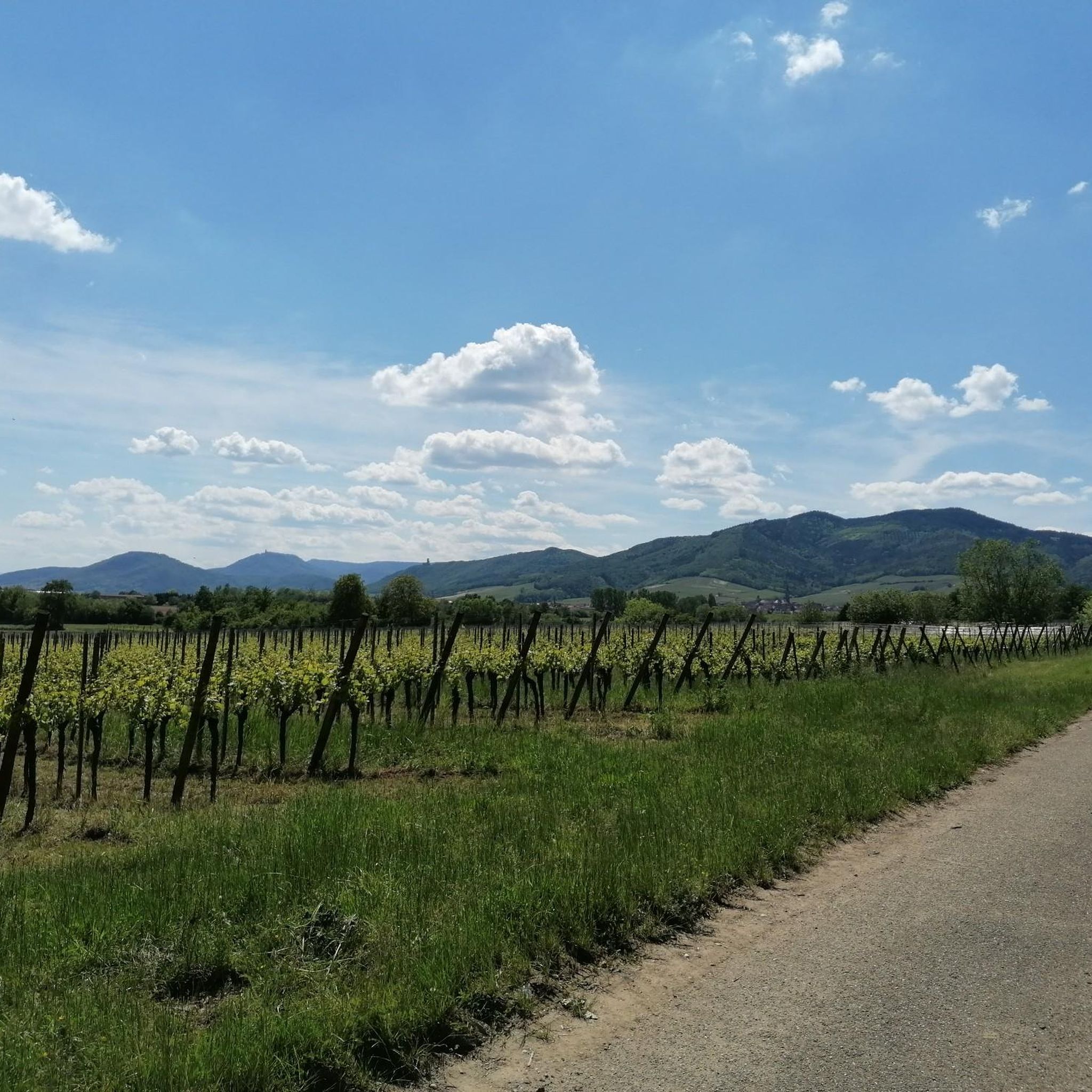
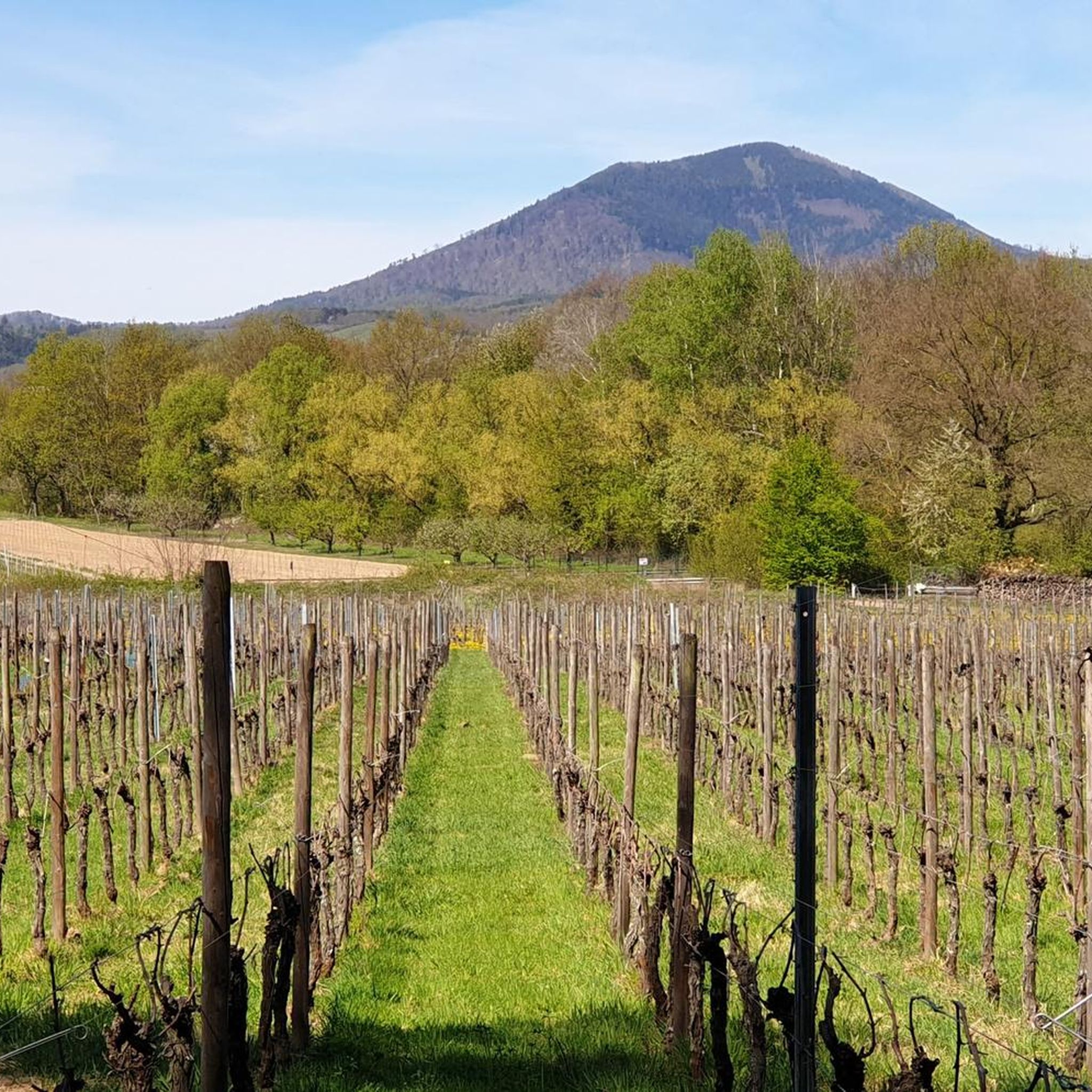
ロードサイクリングルートは、フランスのアルザス地方、コーゲンハイム周辺に位置し、平坦な平野、広大なブドウ畑、ライン川とその運河への近さが特徴です。地形は主に緩やかな勾配で構成されており、一部のルートはフォージュ山脈の麓まで足を延ばし、より大きな登りを提供します。この地域は、農業景観と歴史的な村々が混在しており、標高の上昇は通常500メートル未満に抑えられています。
コーゲンハイム周辺のベストロードサイクリングルート
- 最も人気のあるロードサイクリングルートは、アルザスワイン街道のブドウ畑 – イッターシュヴィレール周回コース(エーベルスハイム発)で、距離は32.1マイル(51.7 km)、所要時間は2時間8分です。このルートは、アルザスワイン街道の有名なブドウ畑を巡ります。
- 地元のロードサイクリストに人気のもう一つのルートは、ブリンシュヴィレール噴水 – ザンクト・セバスチャン礼拝堂周回コース(エーベルスハイム発)で、適度な難易度の21.4マイル(34.5 km)のコースです。このルートは、文化的なランドマークや田園風景を通り抜けます。
- 地元のロードサイクリストに愛されているのは、フーシー峠 – コル・ド・フーシー周回コース(エーベルスハイム発)で、距離は39.8マイル(64.1 km)、起伏のある地形とかなりの標高差があり、所要時間は約2時間57分です。
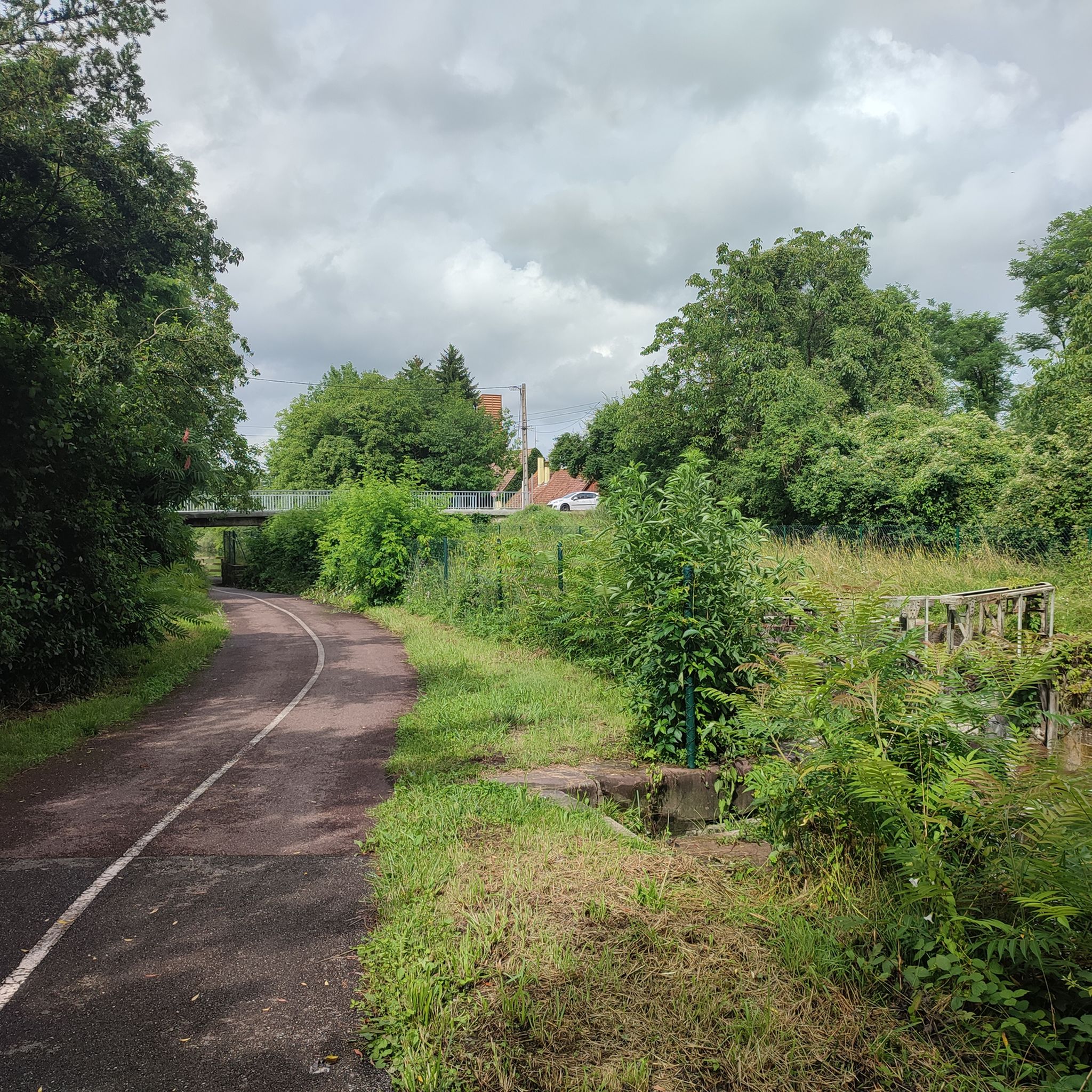
- コーゲンハイム周辺のロードサイクリングは、ブドウ畑に沿った道、静かな運河沿いの道、そして起伏のある丘が特徴です。このネットワークは、初心者、中級者、上級者向けのルートを提供しており、様々なレベルのサイクリストに対応しています。
- コーゲンハイムのルートは、komootコミュニティから高く評価されており、400件以上のレビューから平均4.5つ星を獲得しています。9,000人以上のロードサイクリストがkomootを利用して、コーゲンハイムの多様な地形を探索しています。
最終更新日: 10月 7, 2026
4.7
(6)
114
ライダー
156km
06:38
620m
620m
難しいロードライド. 標準以上のフィットネスレベルが必要です。 ツアーの一部に、未舗装のため走行が難しい箇所があるかもしれません。
19
ライダー
62.3km
02:54
340m
340m
中程度のロードライド. ある程度のフィットネスレベルが必要です。 全般的に舗装状態が良好で走行しやすい道です。

16
ライダー
146km
05:51
300m
300m
難しいロードライド. 標準以上のフィットネスレベルが必要です。 ツアーの一部に、未舗装のため走行が難しい箇所があるかもしれません。
5.0
(1)
14
ライダー
67.3km
02:51
240m
240m
中程度のロードライド. ある程度のフィットネスレベルが必要です。 全般的に舗装状態が良好で走行しやすい道です。
5.0
(2)
17
ライダー
77.1km
03:07
250m
250m
中程度のロードライド. ある程度のフィットネスレベルが必要です。 ツアーの一部に、未舗装のため走行が難しい箇所があるかもしれません。
さらに多くのルートや他のユーザーのおすすめ情報を確認できます。
すでにアカウントをお持ちですか?
おすすめのツアーは他のkomootユーザーが実際に経験した何千ものアクティビティに基づいています。
無料アカウントで今日から始めよう
次の冒険が待っています。

コミュニティからのヒント

まあ、ここはきれいですね
0
0

この美しく、のどかな場所は、Blienschwiller(旧Blienschweiler)の町の中心部にあり、Route des Vins(ワイン街道)沿い、またはD35沿いにここを走るEuro Vélo 5(EV5)沿いに位置しています。2023年の国勢調査によると、Blienschwillerには約300人の住民が住んでいます。この町は、バ=ラン県、セルレスタ=エルシュタイン郡の北ヴォージュ山脈の東麓に位置しています。町の主な産業は畑作とワイン栽培です。
1
0


ドイツから来たサンティアゴ・デ・コンポステーラの道にある美しい小さな村。
0
0


Andlau was founded in 880 by Empress Richardis. She had been banished by her husband, Emperor Charles III, and was later canonized. Her tomb in Andlau became a place of pilgrimage. According to legend, a wild bear showed her the perfect spot (Wikipedia). Wonderful Crus are produced from the vineyards here.
5
0


コーゲンハイムでのの人気観光スポット

komootモバイルアプリでインスピレーションを得よう


さらに探索
他の地域の最高のロードサイクリングルートを見てみましょう。
