サンローランの峠・トップ17
風景を楽しんだり、上りや下りを満喫したり、峠には楽しみ方がたくさんあります。サンローランの素晴らしい峠の一覧を参照して、思い出に残るアドベンチャーに出かけましょう。コミュニティのメンバーがコミュニティのために投稿した峠のハイライトは、他のユーザーが実際におすすめする情報なので、どれも信頼できるものです。気に入った峠にさっそく向かってみましょう。
最終更新日: 9月 2, 2026
グリエール峠
ハイライト • 山道
翻訳者 Google •
役立つ情報 は

コル・ド・ラ・コロンビエール
ハイライト • 山道
翻訳者 Google •
役立つ情報 は

今すぐサインアップして、こんな場所を発見しよう
最高のシングルトラック、ピーク、その他のエキサイティングなアウトドアスポットのおすすめを受け取ろう。
無料新規登録
コル・デュ・ラゾワール
ハイライト • 山道
翻訳者 Google •
役立つ情報 は

Col de Réray
ハイライト • 山道
翻訳者 Google •
役立つ情報 は


無料アカウントで今日から始めよう
次の冒険が待っています。
ログインまたは登録

コミュニティからのヒント

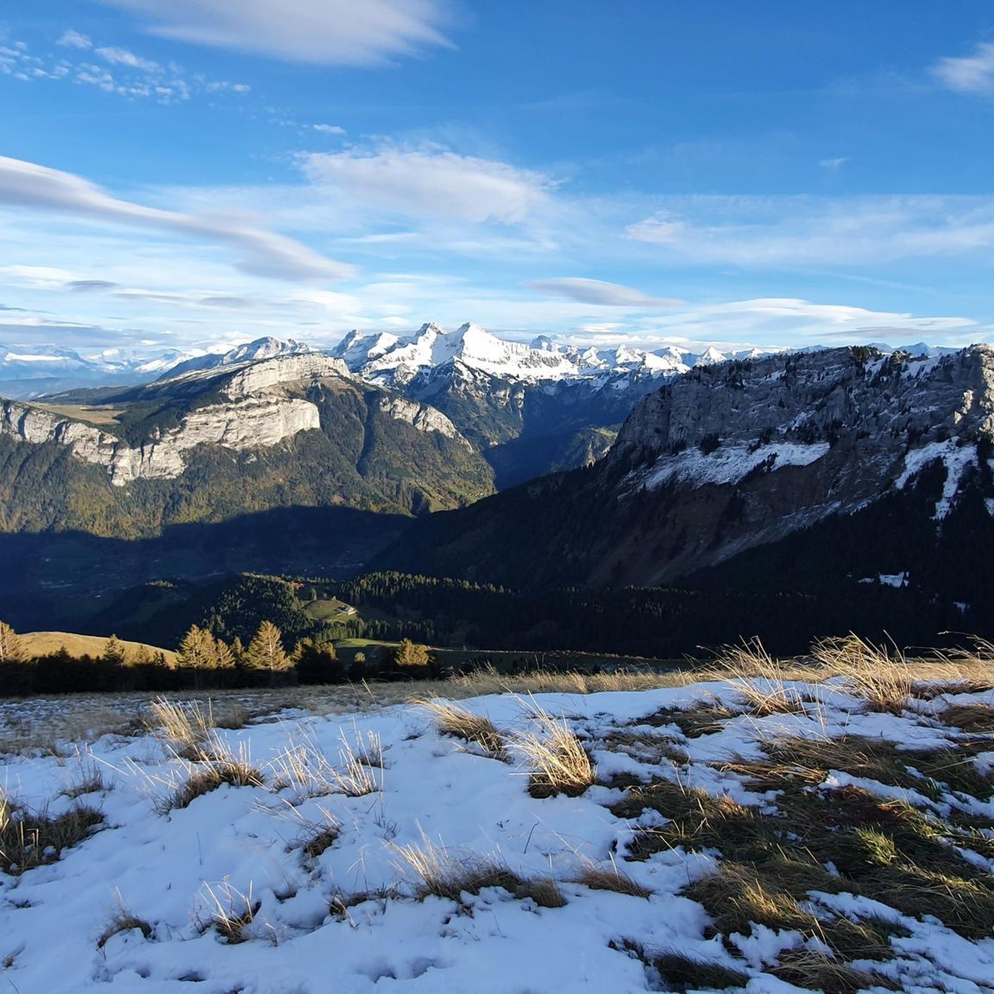
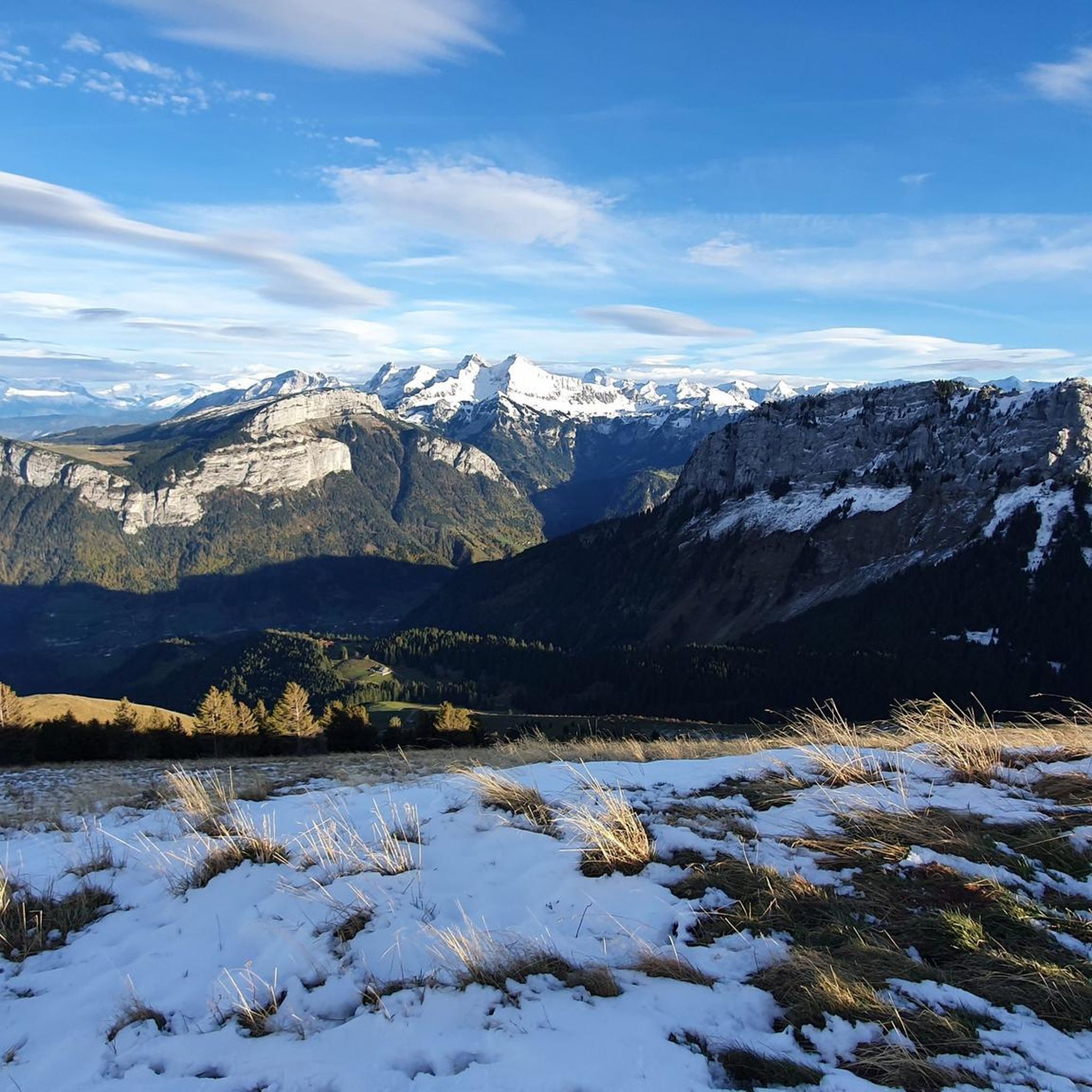
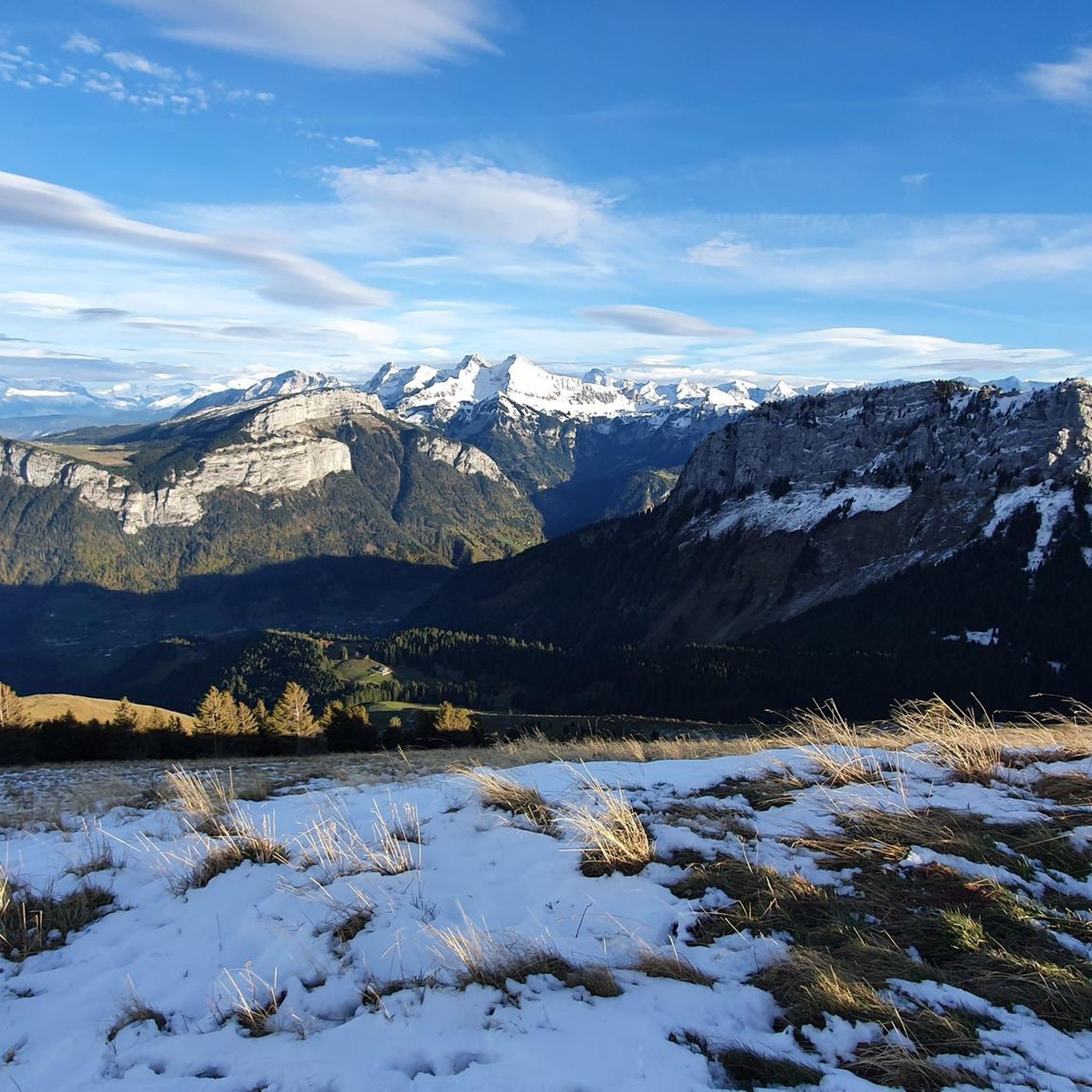
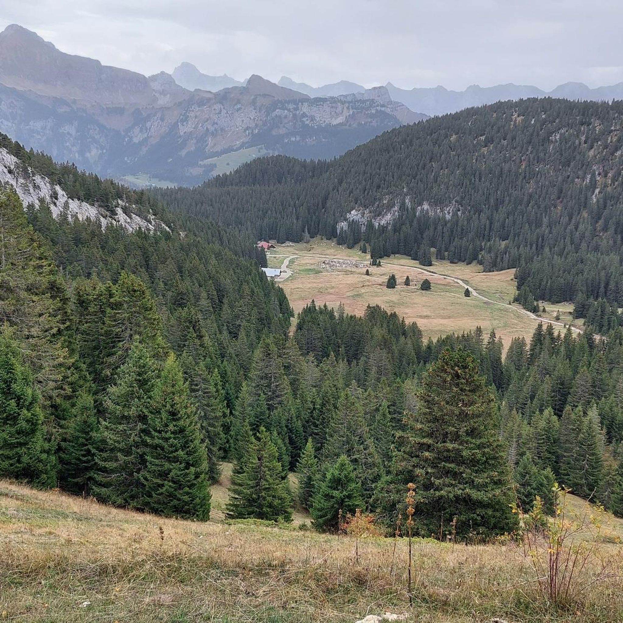
コロンビエールからのコル・デュ・ラゾワールは非常に危険です。道なき石だらけの登りです。勾配は非常に急で、非常に滑りやすいです。転倒後1メートル以内に停止しないと、転倒は致命的になる可能性があります。 アクセスが困難であることを十分に考慮すれば、景色は一見の価値があります。
0
0

Contrary to the previous comment, I don't think that the Col du Rasoir is made for experienced "mountaineers"... I do however believe that certain passages are perhaps the most exposed of the hike up to Jallouvre! The crest, very tapered, sometimes does not allow for error. However, this path is very busy and the path is well marked. The ascent and descent pose no more problem than that in dry weather.
2
2
A majestic summit resembling a pyramid from the Cenise side, the Jallouvre - or Jalouvre - is a mythical summit whose ascent, although not difficult compared to its neighbor Pointe Blanche overhanging it by 30m, remains in the memory like that of a almost epic adventure between grueling scree (on both sides), the mythical Col du Razoir (the aptly named) and the Passage de la Cravate which, in the end, poses no more problem than that when the residual snowfields have disappeared, unless that we are subject to vertigo. In summary, one of the most beautiful hikes in the area in my opinion, for which you still need to be sure-footed and in good shape, but which can be tamed quite easily. Do not miss !
1
0

The tour certainly includes portions of pushing, particularly when it comes to reaching the Ecutieux chalets, but the landscapes are magnificent (view of Lake Geneva, wild mountain pastures) Once you arrive at the summit it is almost 8km descent, technical and varied to go back down to Bonneville
0
0
Nice pass on a “ridge” path (even if you don’t really realize it). Bel AR to the Môle (and the head of the ecutieux) for the brave
0
0

The gravel section is easy to do with a racing bike
1
0

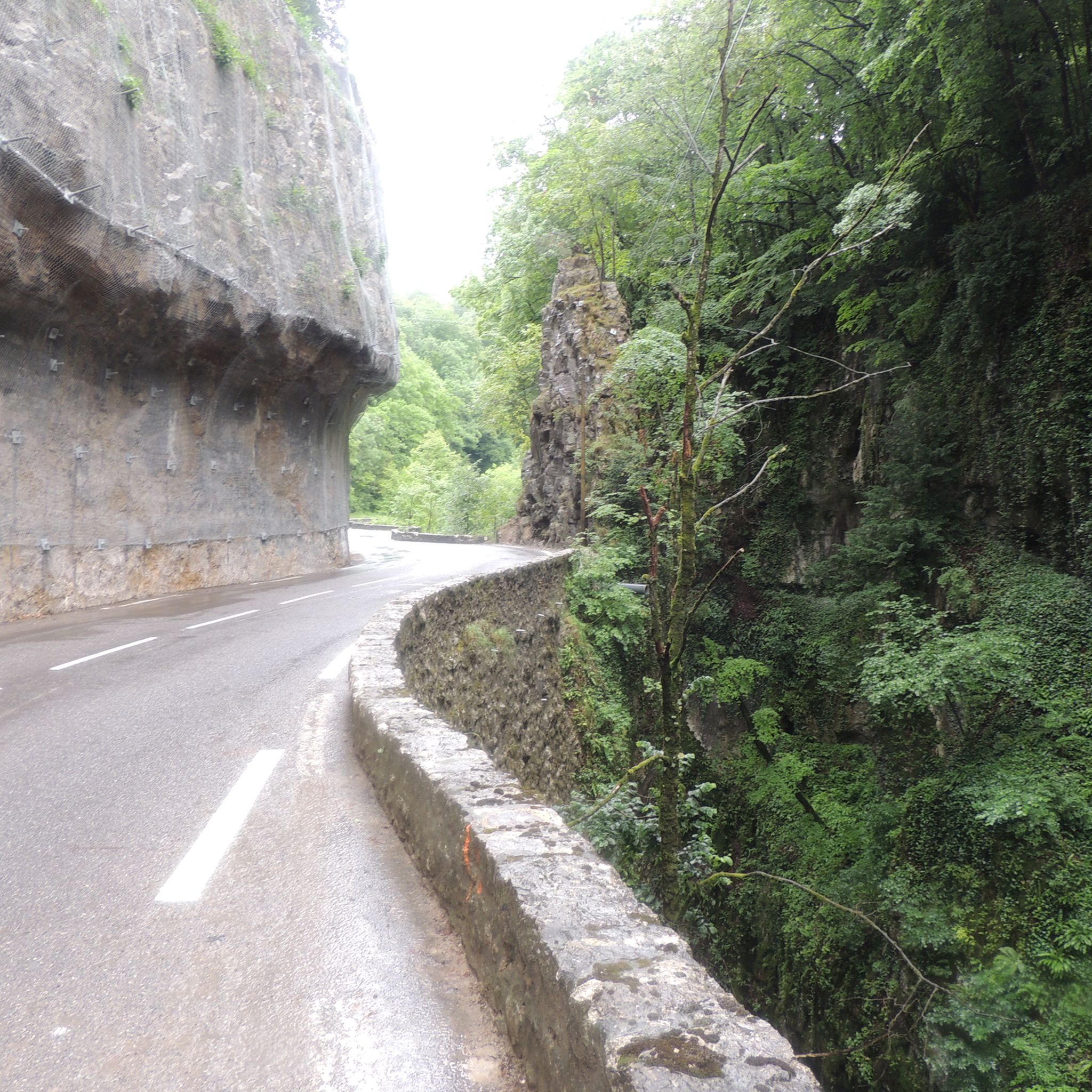
The Col de la Colombière is a pretty Alpine pass, connecting the Borne valley to the Avre valley. It was climbed more than 23 times by Tour de France riders between 1960 and 2021. It is an essential part of the sporting event.
3
0

Le Col des Glières is a picturesque mountain pass located in the French Alps. Nestled at an elevation of 1,450 meters, it is renowned for its natural beauty and historical significance. The col gained prominence during World War II as a key location for the French Resistance, serving as a clandestine base and supply route. Today, visitors can explore the tranquil surroundings, hike through pristine alpine landscapes, and discover the memorial sites that pay homage to the brave individuals who fought for freedom in this mountainous sanctuary.
1
0
サンローランでのの人気観光スポット

komootモバイルアプリでインスピレーションを得よう


さらに探索
これらのガイドでさらに壮大な山道を見てみましょうサンローランでの:
