ウトーのおすすめライド
4.5
(213)
5,348
ライダー
183
ライド
ウトー周辺のロードバイクルートをお探しですか?ここでは、komootが提供するウトーでのロードバイクライドのコレクション全体を評価して選び抜いた人気ルートをご紹介します。各ライドの詳細をぜひご覧ください。
最終更新日: 8月 30, 2026
5.0
(3)
110
ライダー
45.1km
01:59
400m
400m
中程度のロードライド. ある程度のフィットネスレベルが必要です。 全般的に舗装状態が良好で走行しやすい道です。
5.0
(1)
31
ライダー
64.6km
04:01
800m
800m
中程度のロードライド. ある程度のフィットネスレベルが必要です。 全般的に舗装状態が良好で走行しやすい道です。

無料新規登録
5.0
(1)
32
ライダー
22.1km
01:07
310m
310m
中程度のロードライド. ある程度のフィットネスレベルが必要です。 全般的に舗装状態が良好で走行しやすい道です。
22
ライダー
58.5km
02:46
740m
740m
中程度のロードライド. ある程度のフィットネスレベルが必要です。 全般的に舗装状態が良好で走行しやすい道です。
27
ライダー
32.9km
01:33
440m
440m
中程度のロードライド. ある程度のフィットネスレベルが必要です。 全般的に舗装状態が良好で走行しやすい道です。
さらに多くのルートや他のユーザーのおすすめ情報を確認できます。
無料新規登録
すでにアカウントをお持ちですか?
おすすめのツアーは他のkomootユーザーが実際に経験した何千ものアクティビティに基づいています。
無料アカウントで今日から始めよう
次の冒険が待っています。
ログインまたは登録

コミュニティからのヒント

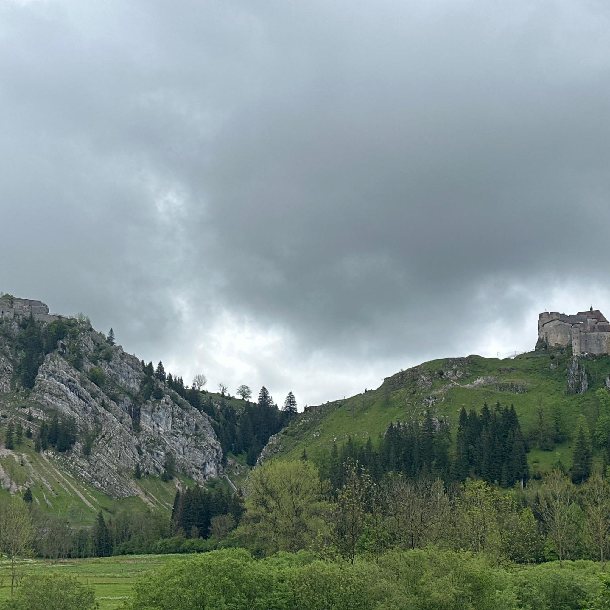
La Cluse-et-Mijoux is a pretty village nestled at the bottom of a valley in the Jura Mountains. Busy with cars heading to Switzerland, the town boasts a wide range of shops and services. History buffs can visit Fort de Joux or Fort Malher, which overlook La Cluse-et-Mijoux. Several chapels (Saint-Léger and Saint-Claude) also dot the outskirts of the town.
1
0

Village located between the Joux fortified castle and Fort Malher
0
0

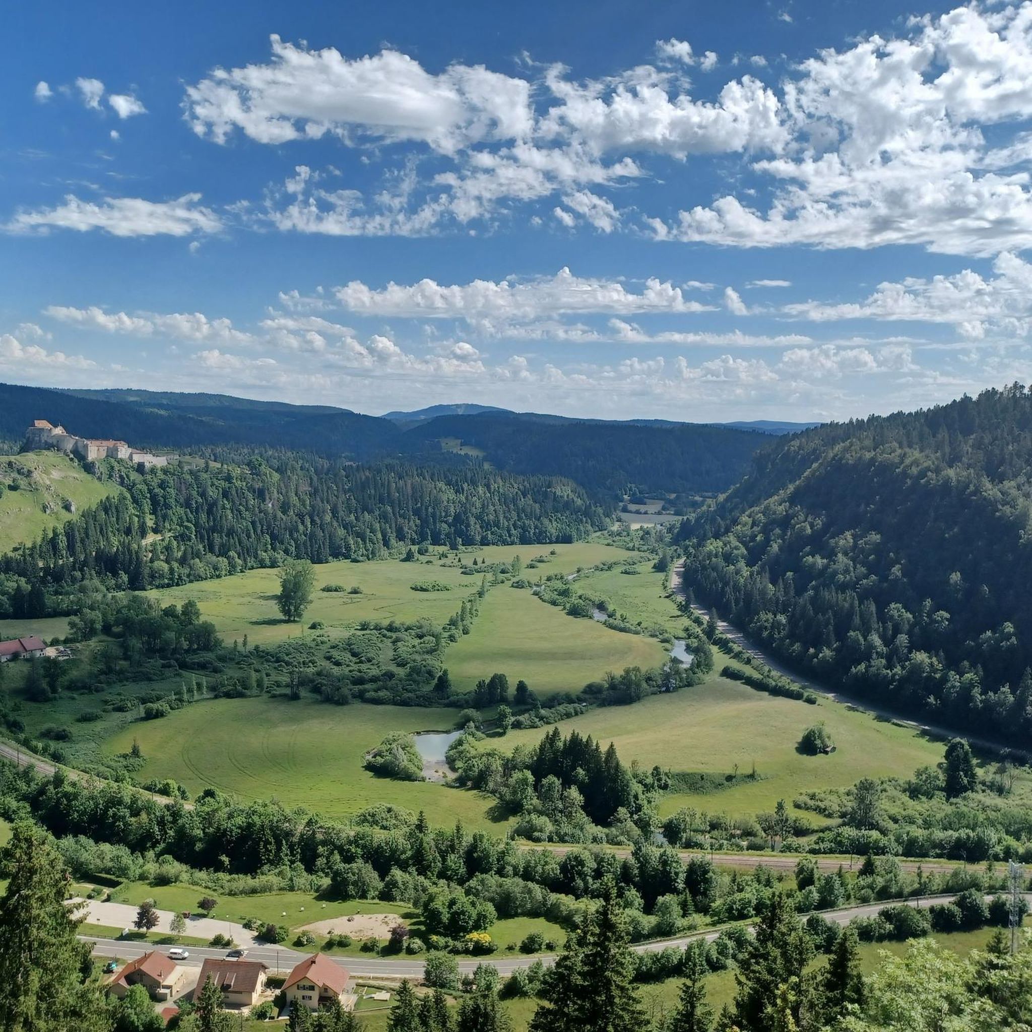
Very nice view of the Doubs marsh between the Lac de Remoray and the Lac de Saint-Point. In the background you can see the Grand Taureau mountain
5
0

The Église Saint-Bénigne in Pontarlier is a church dating from the 15th, 16th and 17th centuries. This church combines Romanesque, Gothic and Franc-Comtoise style elements. The striking clocher porch is topped with an imperial domed roof, also known as a clocher comtois, a traditional feature of Franche-Comté. The roof is covered with glazed tiles. The Église Saint-Bénigne is located in the Haut-Doubs and is dedicated to Saint Bénigne. Since May 19, 1970, the building has been registered as a historical monument. Historically, the church was almost completely rebuilt between 1651 and 1666 on the same site as an original 11th century Romanesque church, of which almost nothing remains (except a 15th century portal). This happened after the passage of the troops of Duke Bernard de Saxe-Weimar during the Thirty Years' War. In 1666 the church was rededicated in honor of Saint Bénigne. The church has suffered serious damage over time from two fires, one in 1680 and one during the Pontarlier fire of 1736. The clocher porch was rebuilt in 1681, and the imperial dome was added in 1753 by architect Nicolas Nicole. In 1970 the church underwent a major restoration, and in 1974 new stained glass windows were created by artist Alfred Manessier and the Lorin de Chartres workshops. The organ, which dates from 1758 and is in Louis XV style, was restored in 1844 and again in 1982.
7
0
Pontarlier is a mountain town located 837 meters above sea level in the heart of the Jura Mountains. As the capital of Haut Doubs, it is located at the entrance to a vast area of protected natural areas, where forests, lakes and green meadows are essential for the production of Mont d'Or and Comté cheese. Pontarlier was once known worldwide for its production of absinthe at the beginning of the last century. Today, the city has revived this tradition, with two distilleries once again producing absinthe.
8
0

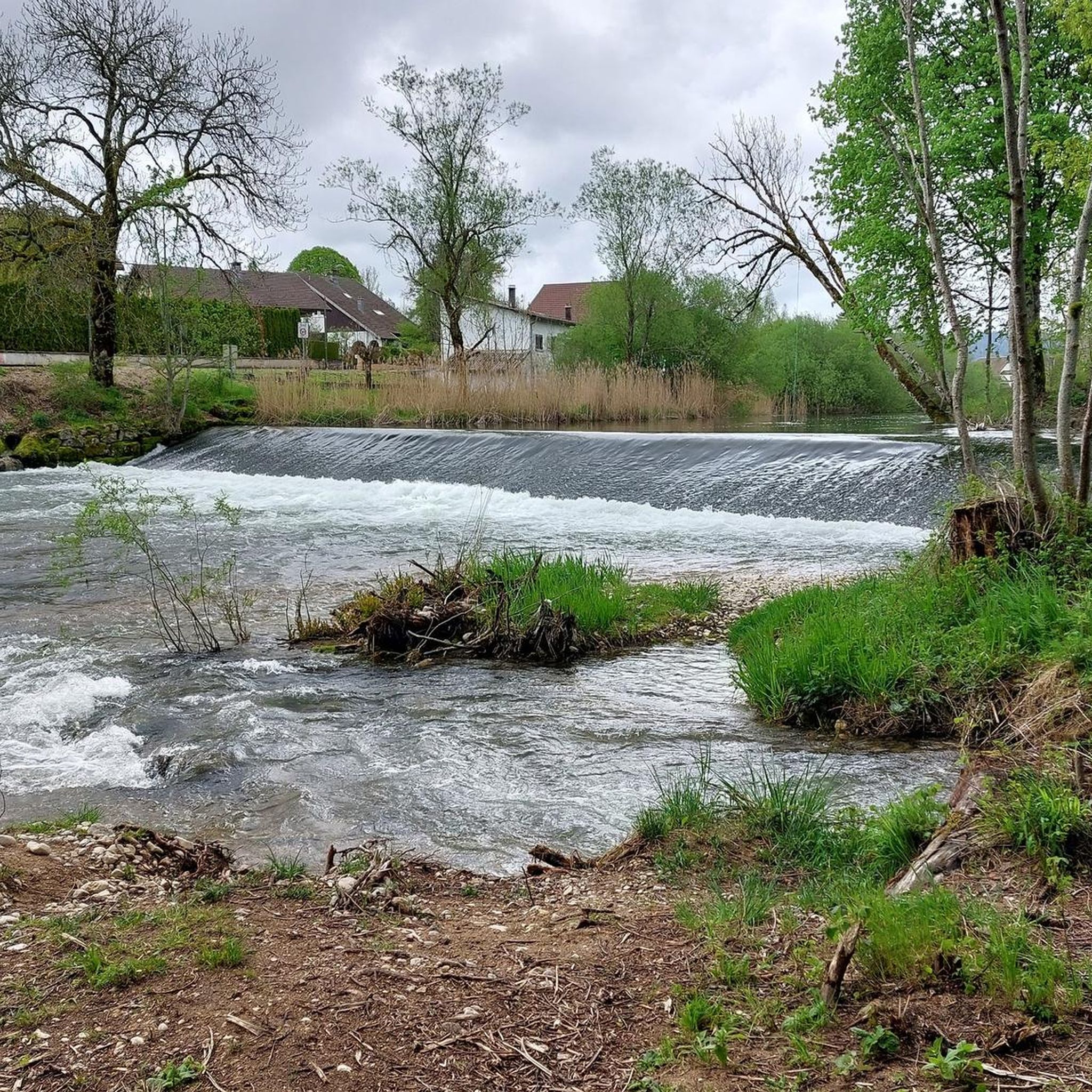
The Loue is largely a vast underground river and its source a resurgence which emerges from the immense underground network of the Jura limestone plateau. The place, located in a canyon, is spectacular and worth a stop. If you want to escape the summer heat, this is the perfect place.
0
0

Section of road passing through a gorge with the Château de Joux on the heights on one side and the ruins of the lower Fort du Larmont, or Fort Mahler, on the other. This second, built in the 19th century, had the mission of protecting the Château de Joux.
0
0
ウトーでのの人気観光スポット

komootモバイルアプリでインスピレーションを得よう


さらに探索
他の地域の最高のロードサイクリングルートを見てみましょう。
