アベンヌのおすすめランニングルート
4.4
(12)
339
ランナー
57
ランニング
アベンヌでランニングを楽しめば、このエリアをより深く知ることができます。ランニングに適した美しいルートが見つかるように、komootがアベンヌでのルートのコレクション全体を評価して選び抜いた、人気ランニングトレイルをご紹介します。ルートをクリックして詳細を表示し、他のユーザーがアップロードした役立つ情報や写真を閲覧しましょう。
最終更新日: 9月 16, 2026
7
ランナー
7.71km
01:12
470m
470m
難しいジョギング. 標準以上のフィットネスレベルが必要です。 全般的に舗装された状態です。あらゆるスキルレベルに適しています。
20.7km
02:34
670m
670m
難しいジョギング. 標準以上のフィットネスレベルが必要です。 全般的に進みやすいルートです。一部で、安定して歩行できる技術が必要です。

4.5
(4)
11
ランナー
5.99km
00:40
130m
130m
中程度のジョギング. ある程度のフィットネスレベルが必要です。 全般的に舗装された状態です。あらゆるスキルレベルに適しています。
5.0
(1)
9
ランナー
12.7km
01:46
550m
550m
難しいジョギング. 標準以上のフィットネスレベルが必要です。 全般的に舗装された状態です。あらゆるスキルレベルに適しています。
9
ランナー
6.76km
01:00
340m
340m
難しいジョギング. 標準以上のフィットネスレベルが必要です。 全般的に舗装された状態です。あらゆるスキルレベルに適しています。
さらに多くのルートや他のユーザーのおすすめ情報を確認できます。
すでにアカウントをお持ちですか?
おすすめのツアーは他のkomootユーザーが実際に経験した何千ものアクティビティに基づいています。
無料アカウントで今日から始めよう
次の冒険が待っています。



コミュニティからのヒント

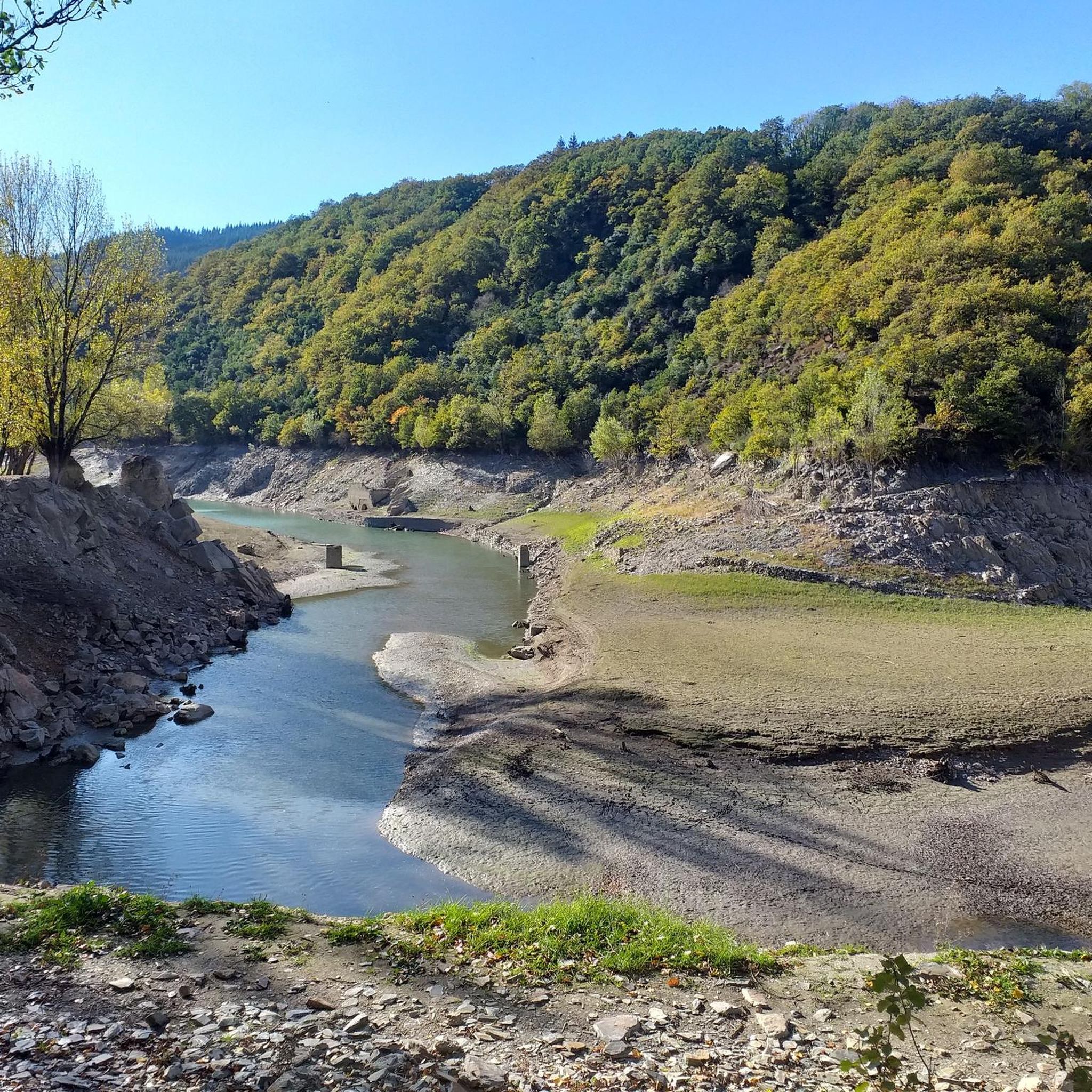
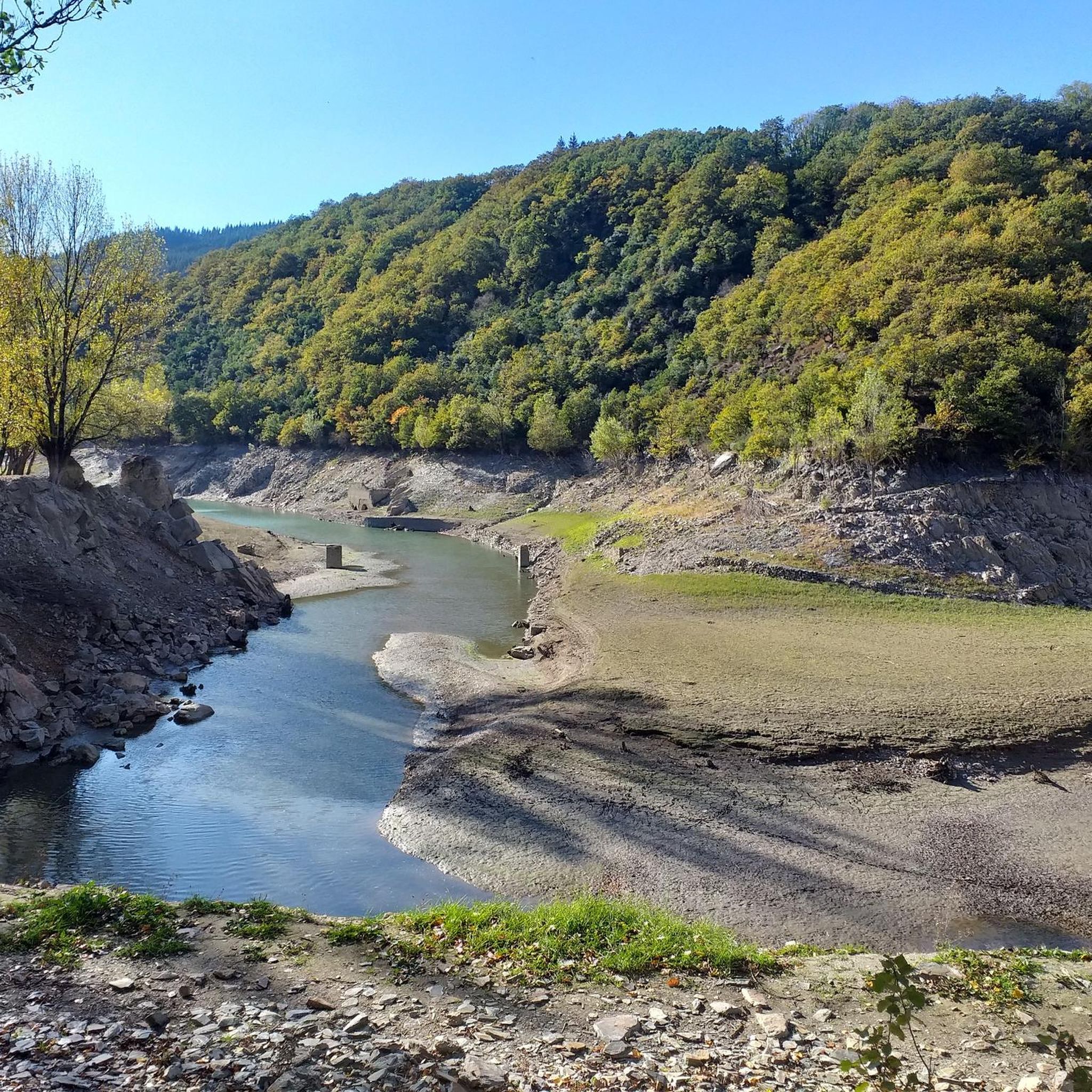
D8E13橋から、展望台からはアヴェーヌとオルブ川の美しい絵葉書のような景色が楽しめます。
2
0

This tiny and peaceful village, with a worldwide reputation for the benefits of its water, is a perfect location for hikers and gravel enthusiasts. You have many options of loops from there. Enjoy!
0
0

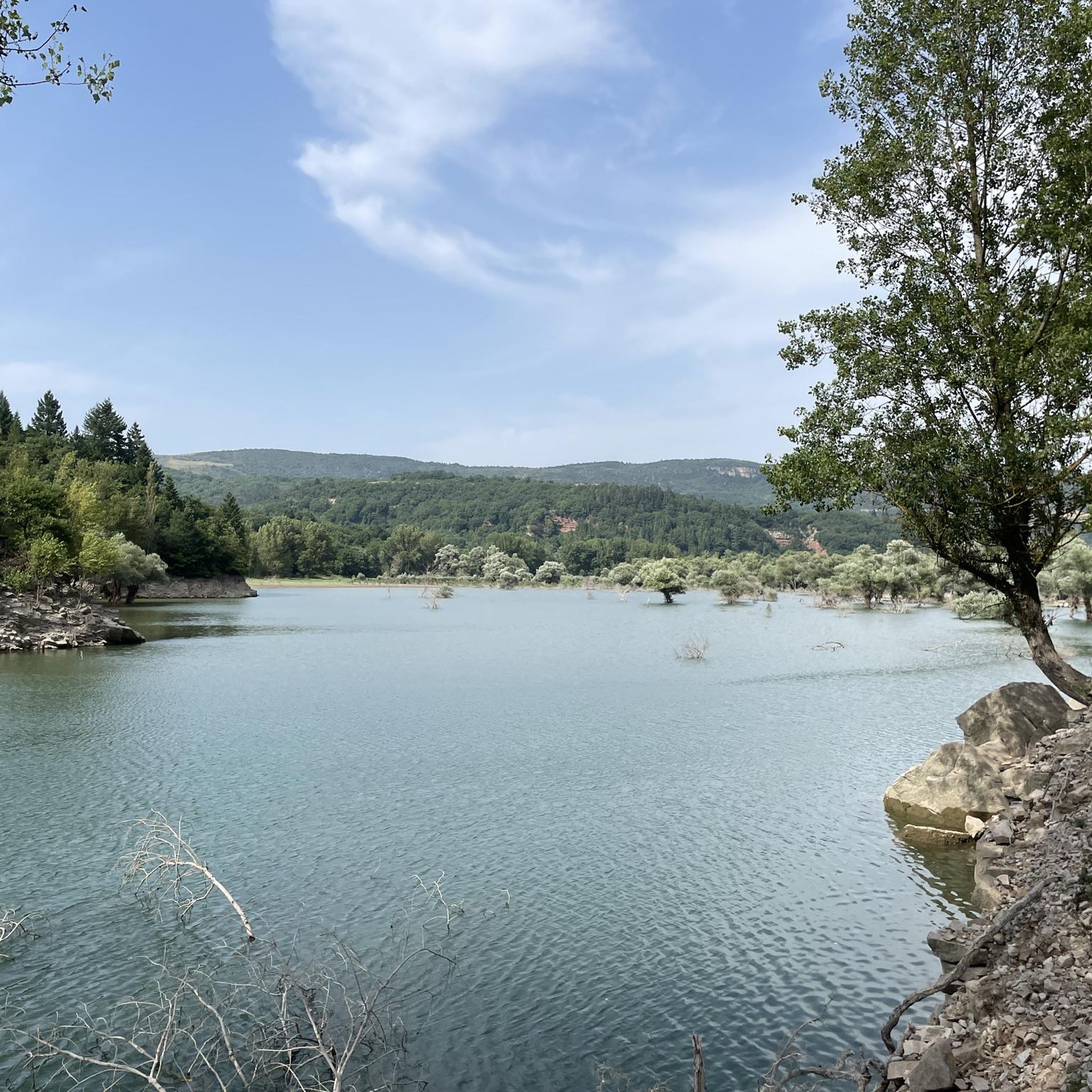
The bucolic charm of the places and the banks of the Orb is striking. The economy of Avène has always been based on significant mining activity that began under Roman rule and continued until 1954, when the Rabasse mines closed. Created in 1962 for hydroelectric production and regulation of the Orb, the Lac des Monts d'Orb (or Lac d'Avène) is 6 kilometres long and covers an area of 190 hectares. An old lead and silver mine is now submerged under the lake: the mines and their exploitation were a source of wealth for the Orb valley, from Antiquity until the 1950s. Today, it is above all nature that provides Avène with one of its benefits: water from the depths of the Languedoc earth. This water that has been shaping a destiny for two and a half centuries, a vocation inspired by Thermalism. It is impossible not to go to the Thermal Baths, a stone's throw south of the village (the markings of the Sentier des 2 Lacs allow you to reach the site on foot, and the connection is pretty!). The Thermal Baths site is peaceful, relaxing... like the range of well-being and beauty products from the Avène brand. Beyond the thermal area, there is a magnificent hotel and an excellent restaurant! The establishment is committed to a truly eco-responsible approach: use of local products, innovative and energy-efficient architectural and technical choices...
1
0

Its creams and treatments with such recognizable packaging are a must in French pharmacies and for some of us, have the scent of vacation. If its thermal cures are world famous, the city itself is much less so. Made up of no less than 14 hamlets or farms, it has only 400 permanent residents. Enjoying a dual Mediterranean and oceanic climate, it is located in the exceptional Natural Regional Park of Haut-Languedoc, and more precisely in the landscape unit of the small causses of the upper Orb valley and Lake Avène . The Monts d'Orb occupy a significant space and offer preserved nature where the forest, by turns mountainous and Mediterranean, stands out. This landscape unit is also characterized by a mid-mountain type landscape, which presents a strong contrast with the atmosphere of the Hérault coastline. Clearly, this department is full of wonderful surprises! This unique location makes Avène the ideal starting point for numerous hikes, both on foot and by bike. Don’t hesitate to go boating or paddleboarding on the artificial lake of Avène, if the water level allows it.
3
0

Mont Méguillou with its 786m altitude is an interesting objective for a run.
0
0

Very beautiful point of view to admire the village of Avène in its natural setting.
1
0
Avène is a village that owes its fame to its terms. Located in the heart of the Haut-Languedoc regional natural park, the village is in a protected natural area.
2
0
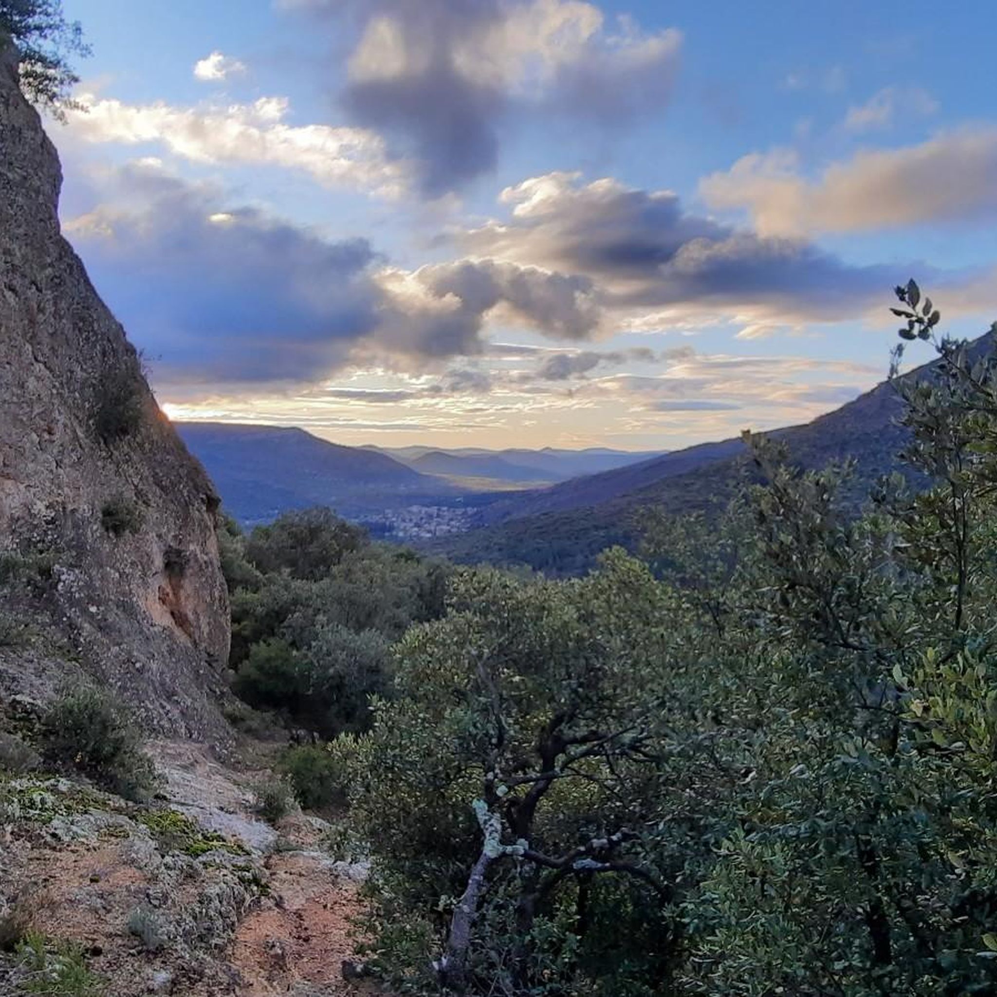
Magnificent panorama over the Causses and the Cévennes.
0
0
アベンヌでのの人気観光スポット

komootモバイルアプリでインスピレーションを得よう


さらに探索
他の地域の最高のランニングトレイル & ルートを見てみましょう。
